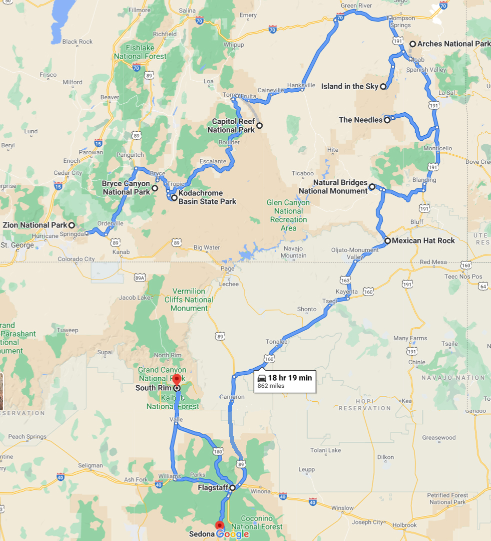
2020 ROADTRIP THRU SOUTHERN UTAH & SOUTH RIM GRAND CANYON, AZ
For John's 56th Pandemic Birthday, we took a National Parks road trip from San Diego thru Southern Utah and returned via Arizona with a stop at the south rim of the Grand Canyon. Our goal was to hike in the significant and more unique parks along our route. In the process we both lost a minimum of eight pounds each. It's a great way to lose weight without dieting. Just eat healthy and hike at least six to eight miles every day! We visited the following parks:
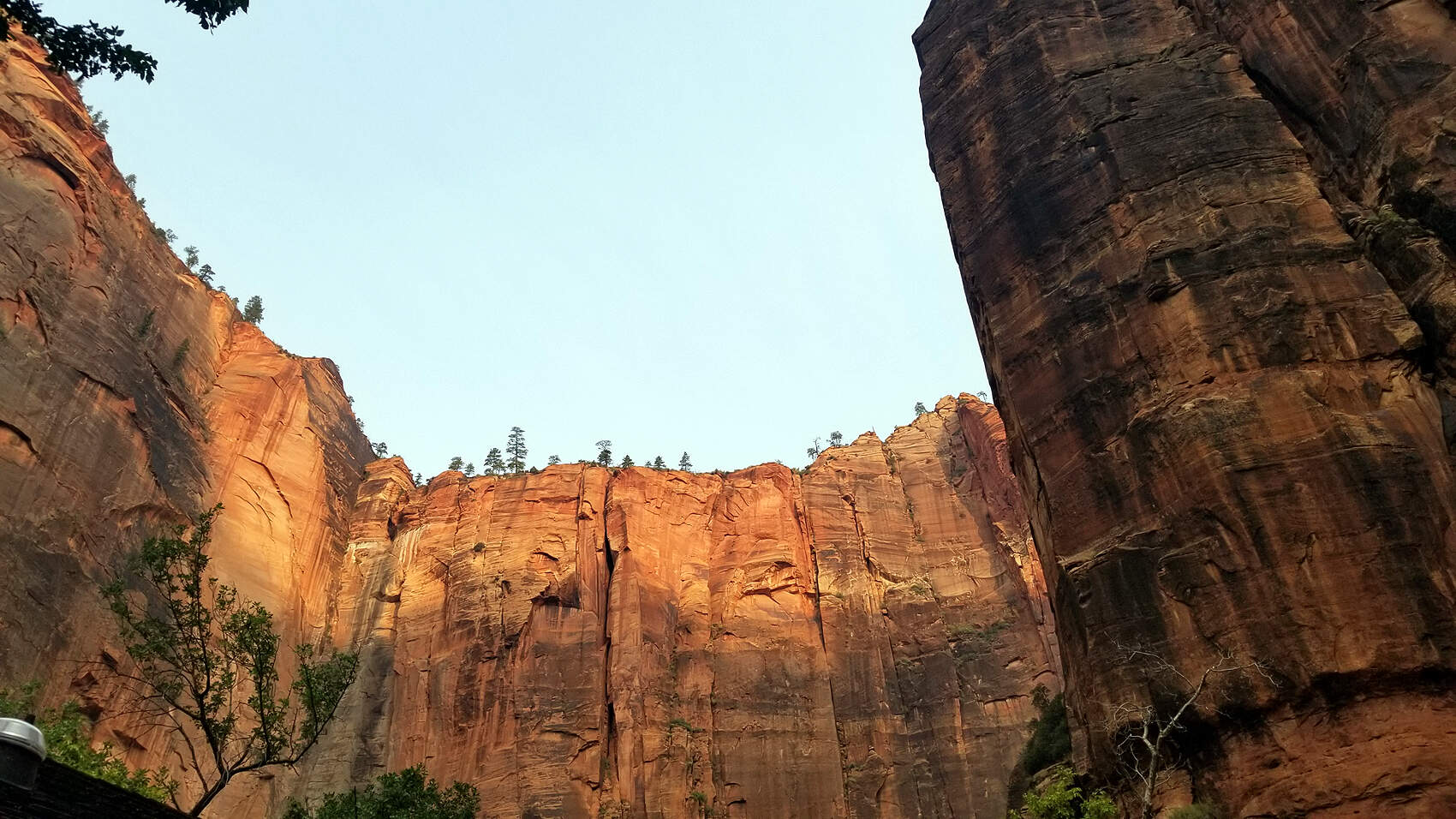
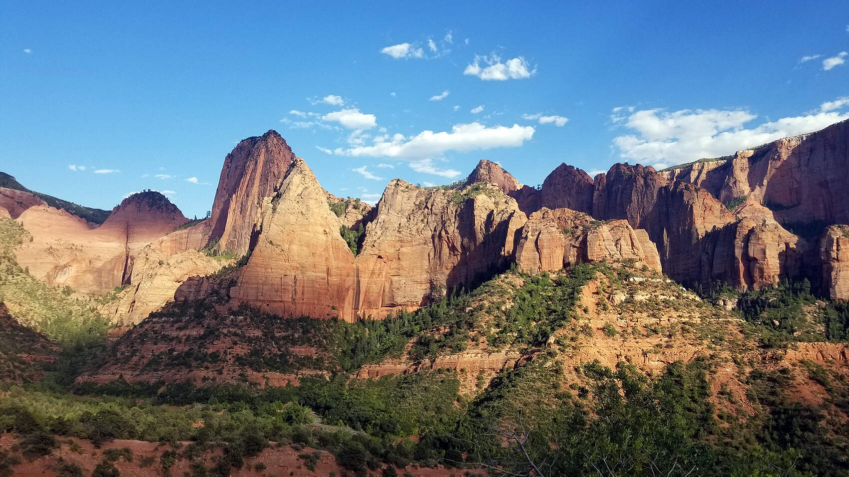
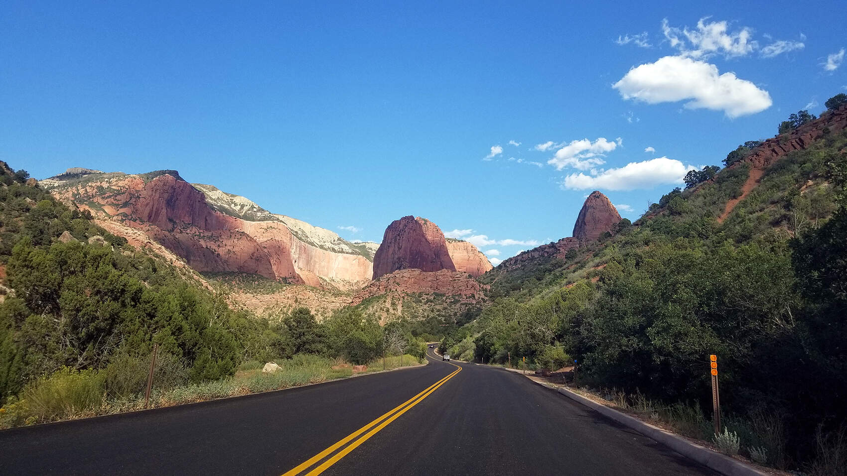
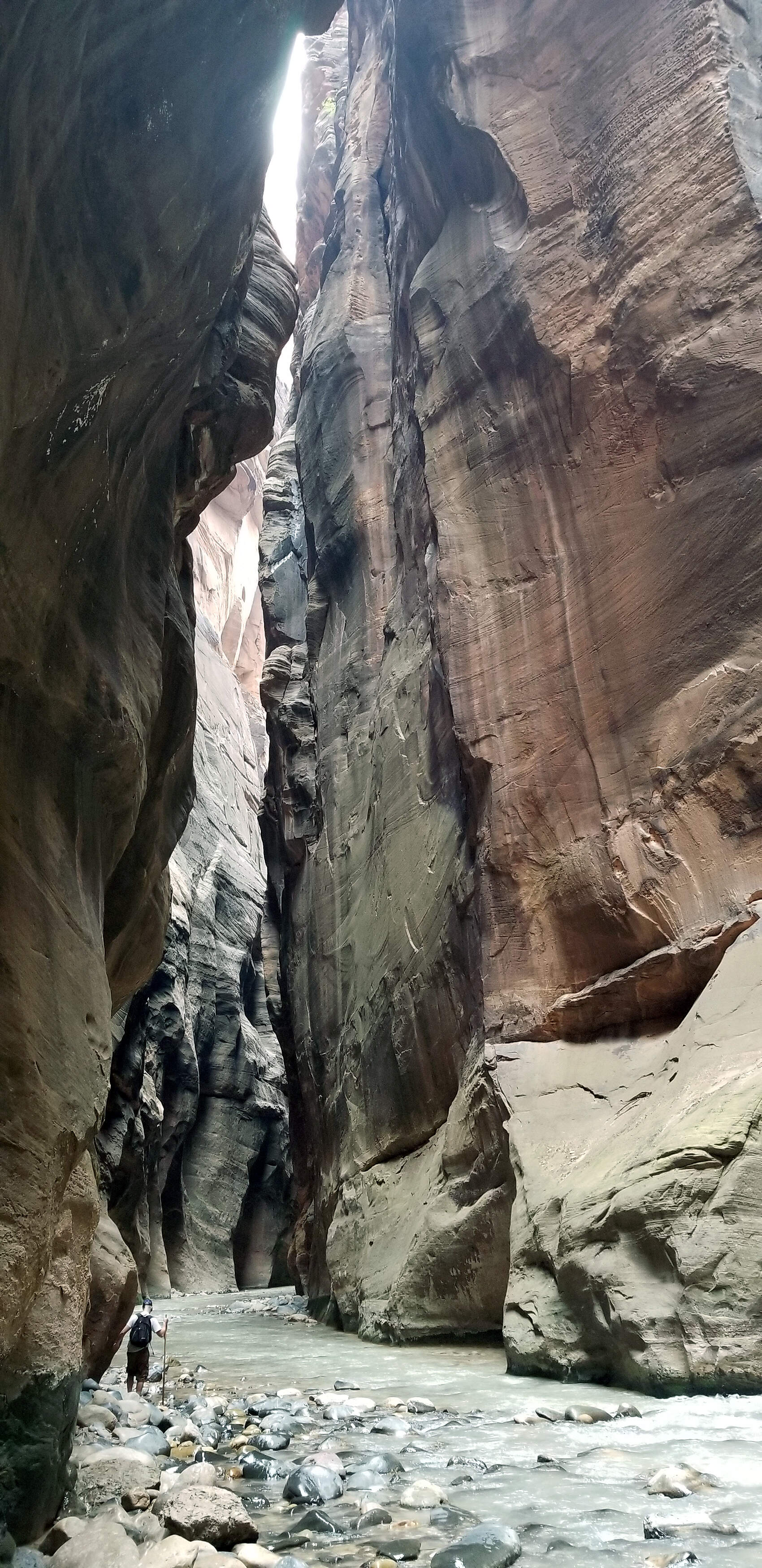
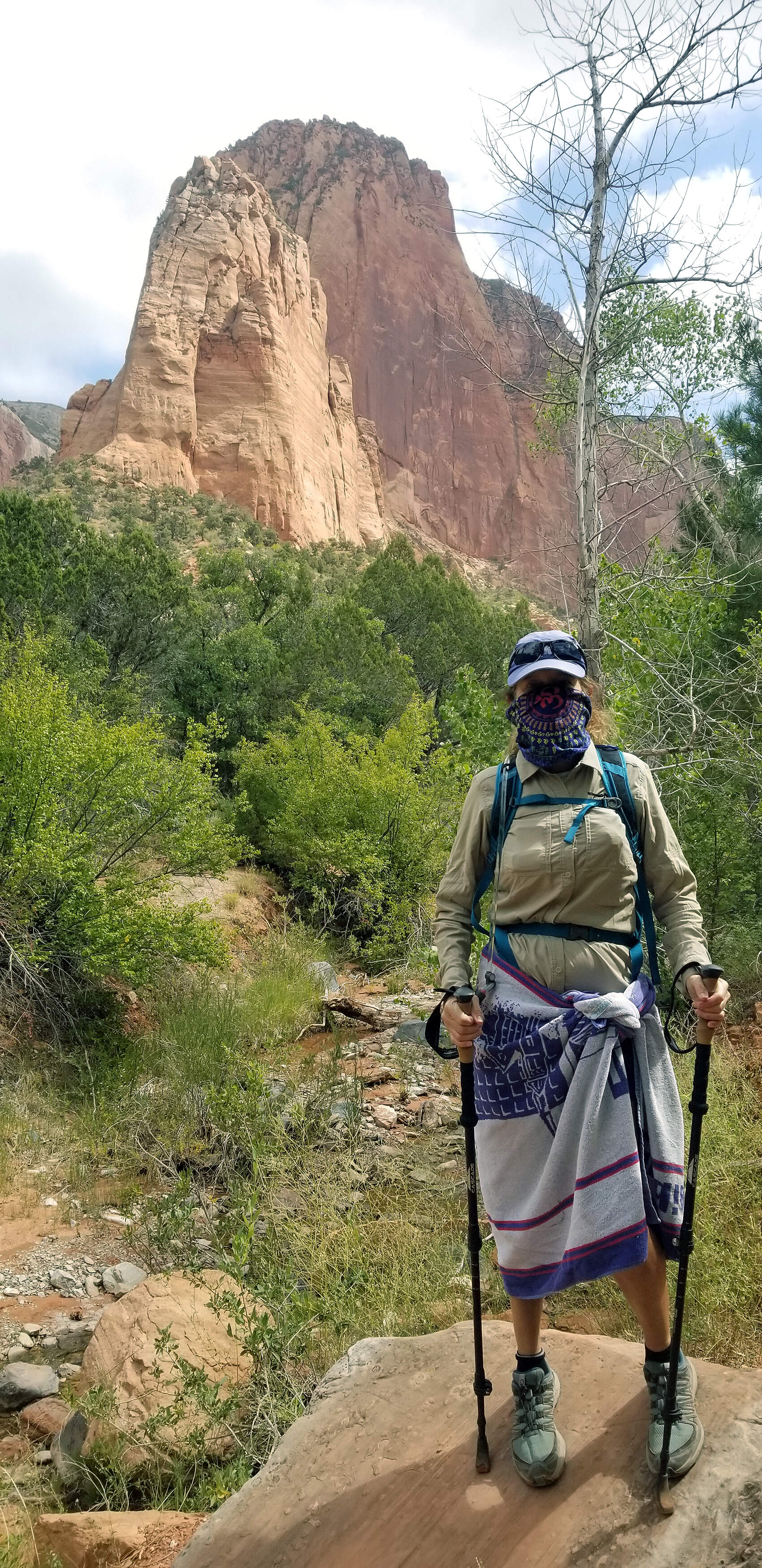
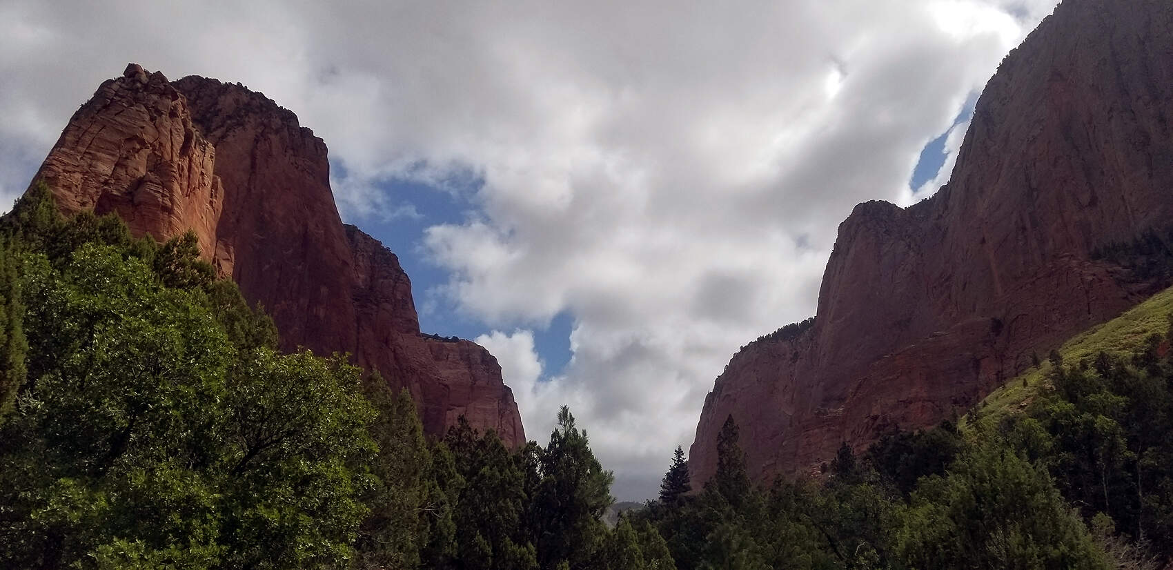
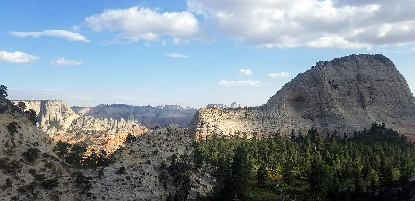
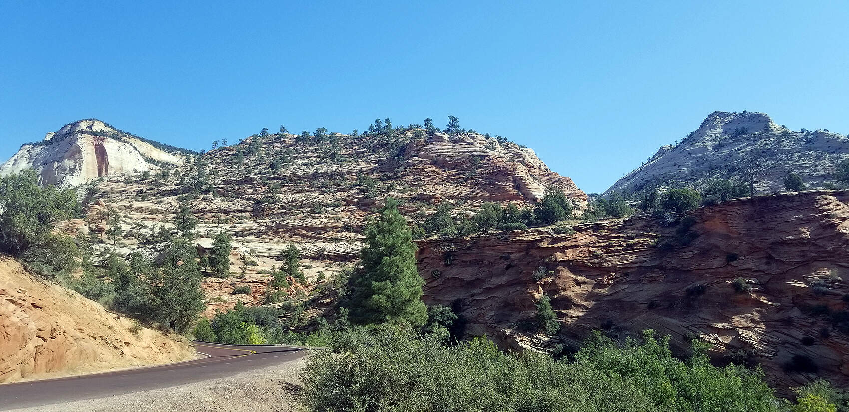
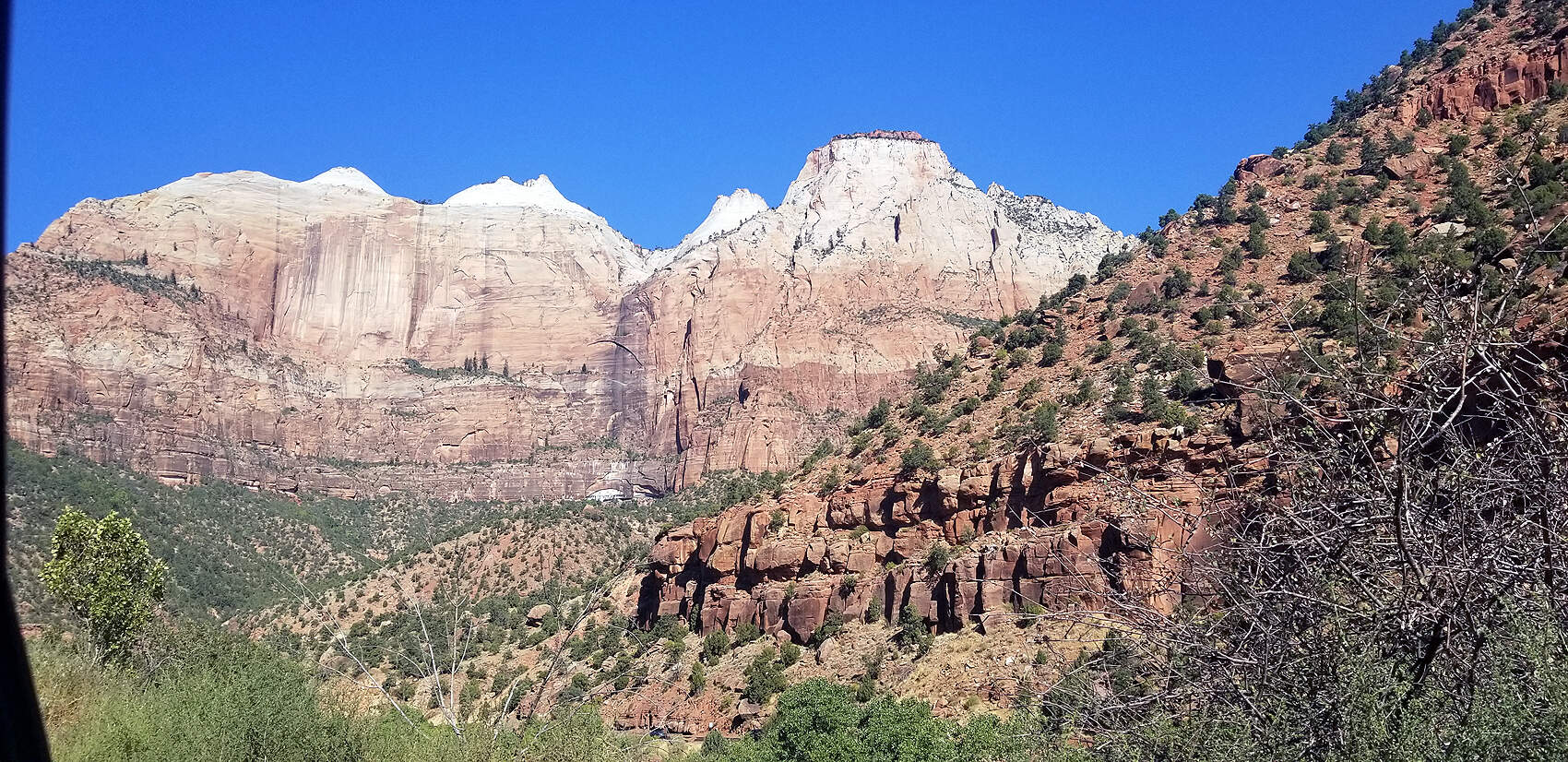
It's about an 8 hour drive from San Diego to Zion with one stop for gas; thank you Prius. The drive into Zion's northern entrance is really impressive. We checked out a few viewpoints before dropping down into the southern entrance. All these pictures are taken by John since my phone was drenched on our first hike in The Narrows. He was a trooper for taking all the pictures, all the googles, and texts with my friends. : -)
DAY 1: ARRIVING INTO ZION NATIONAL PARK - NORTH ENTRANCE
(click pictures to enlarge)
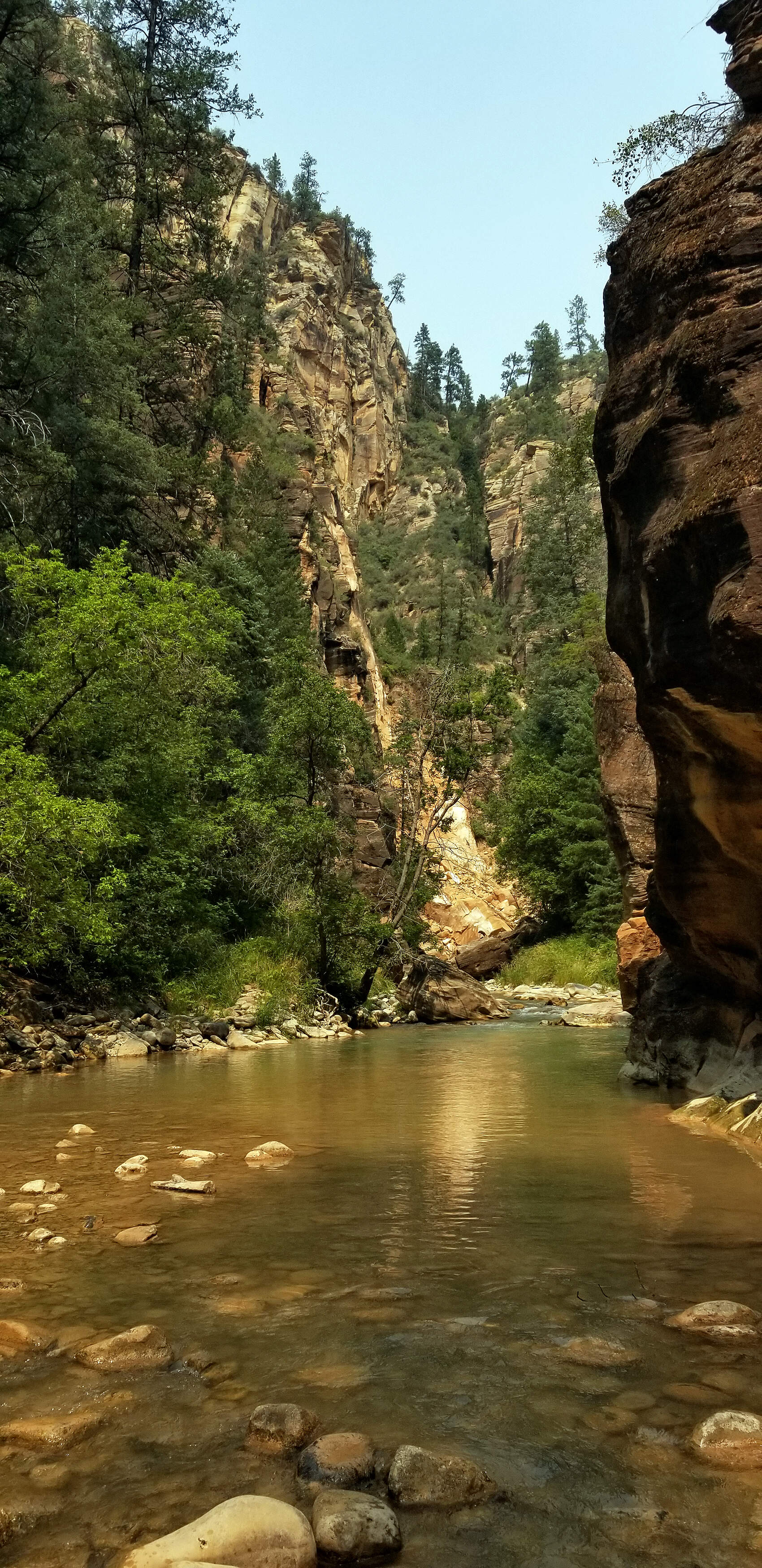
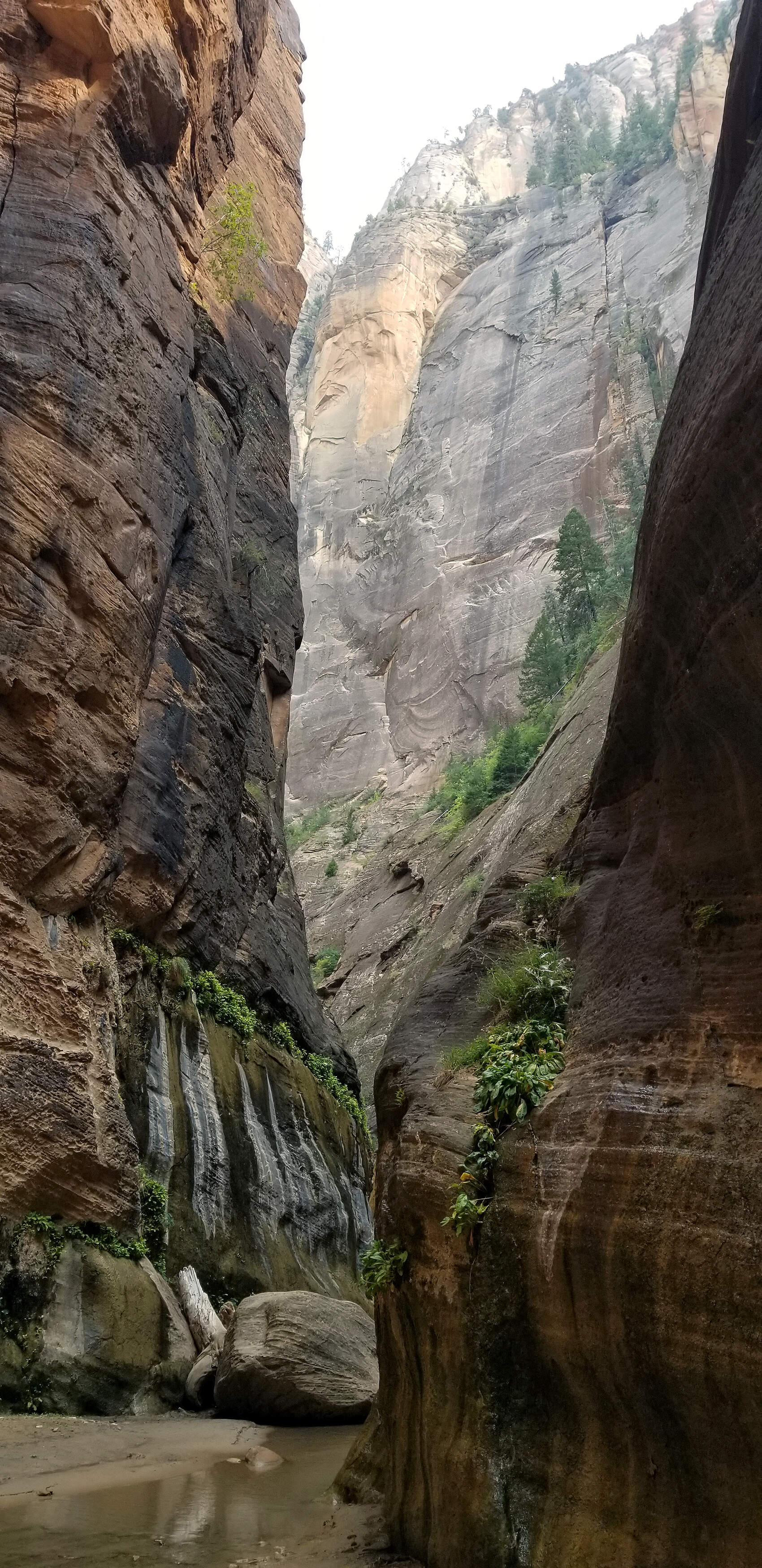
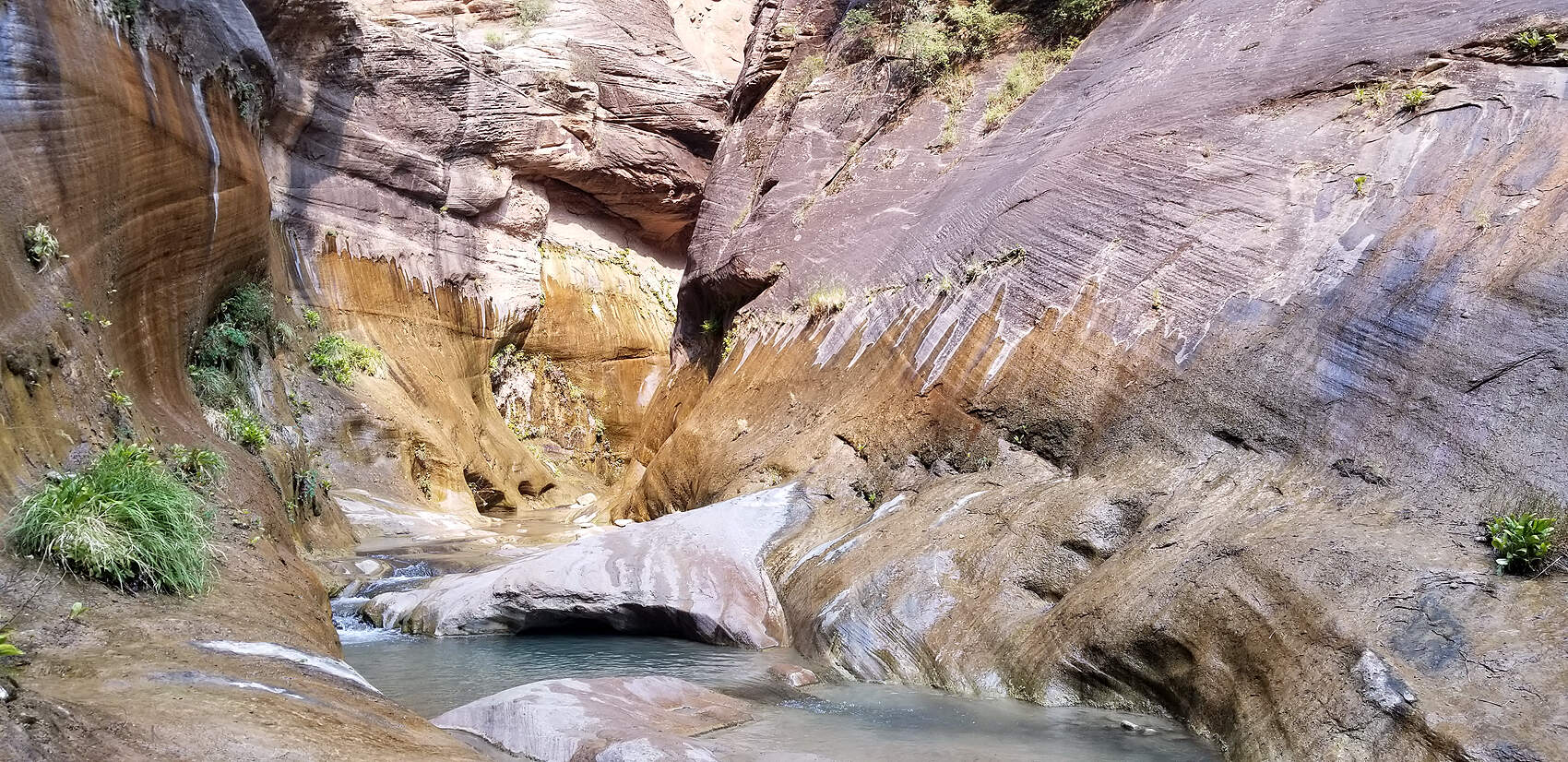
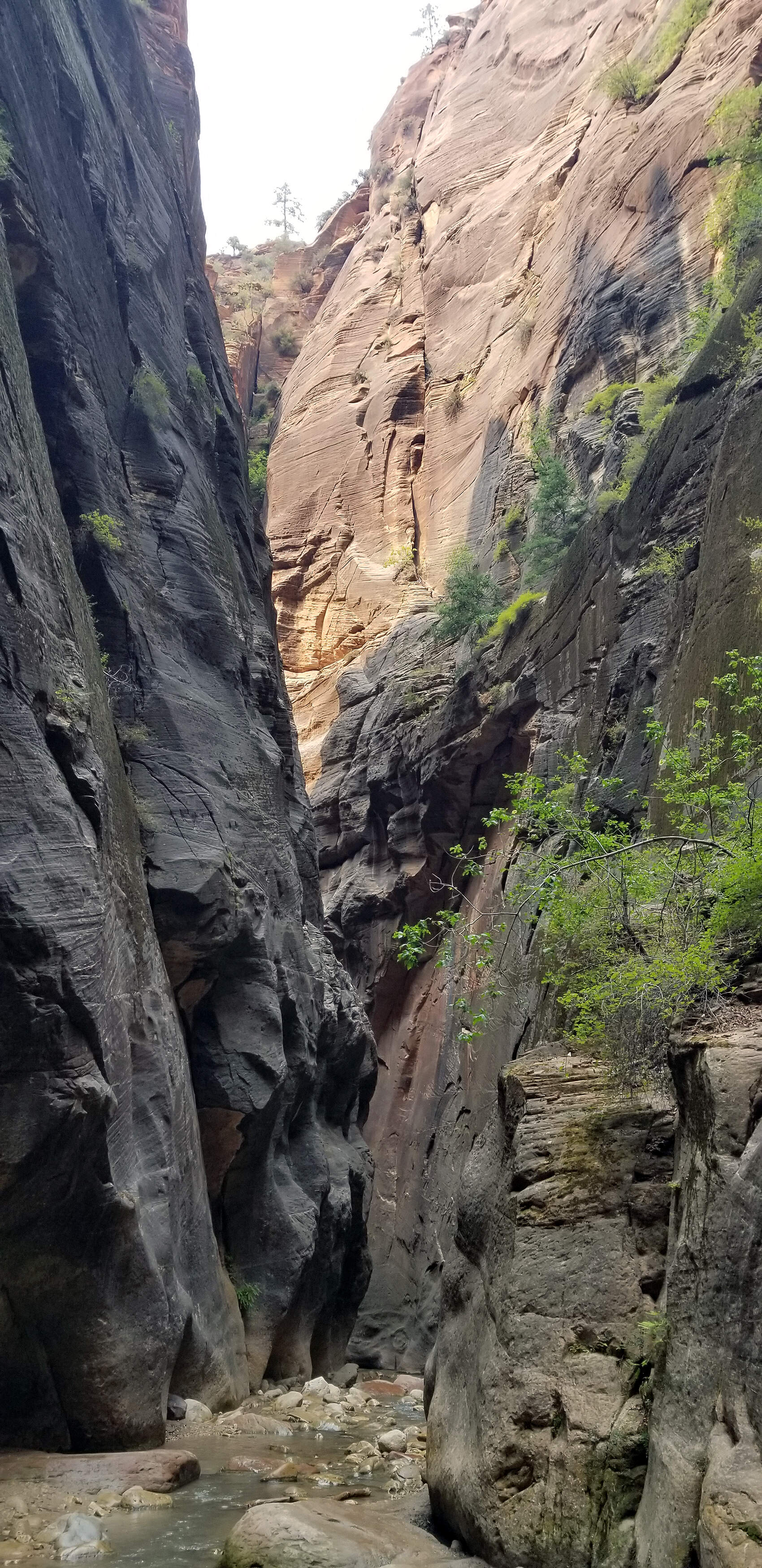
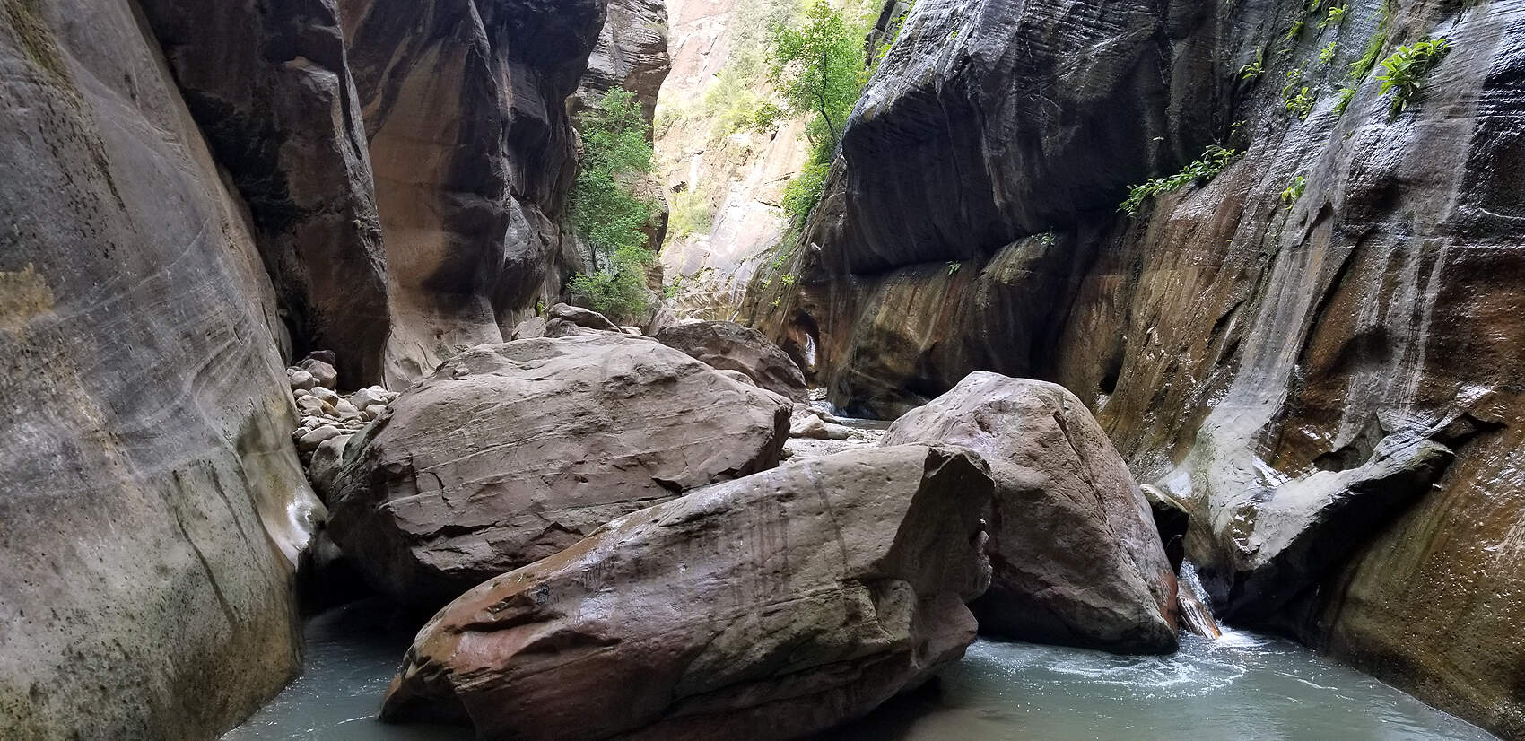
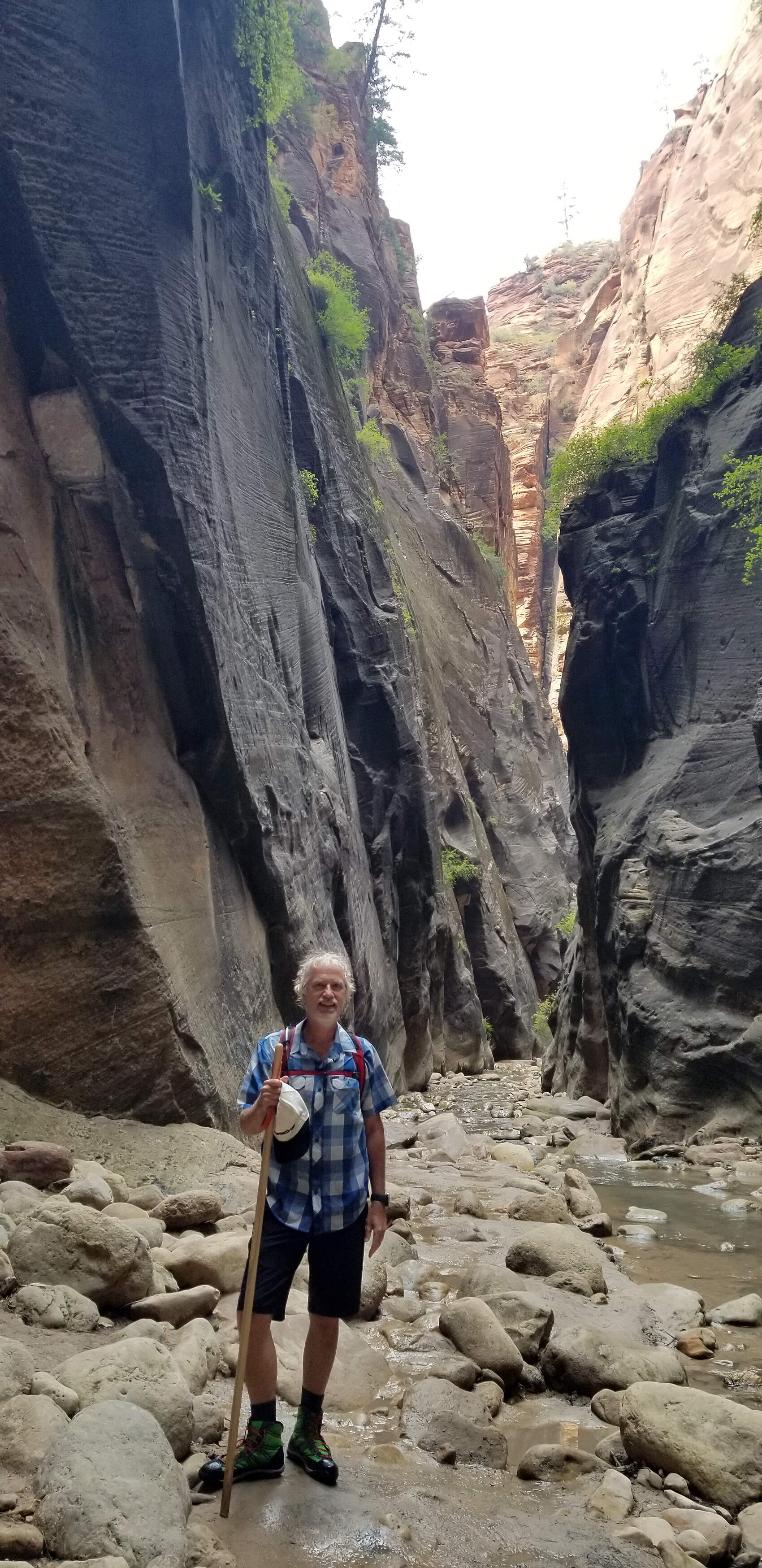
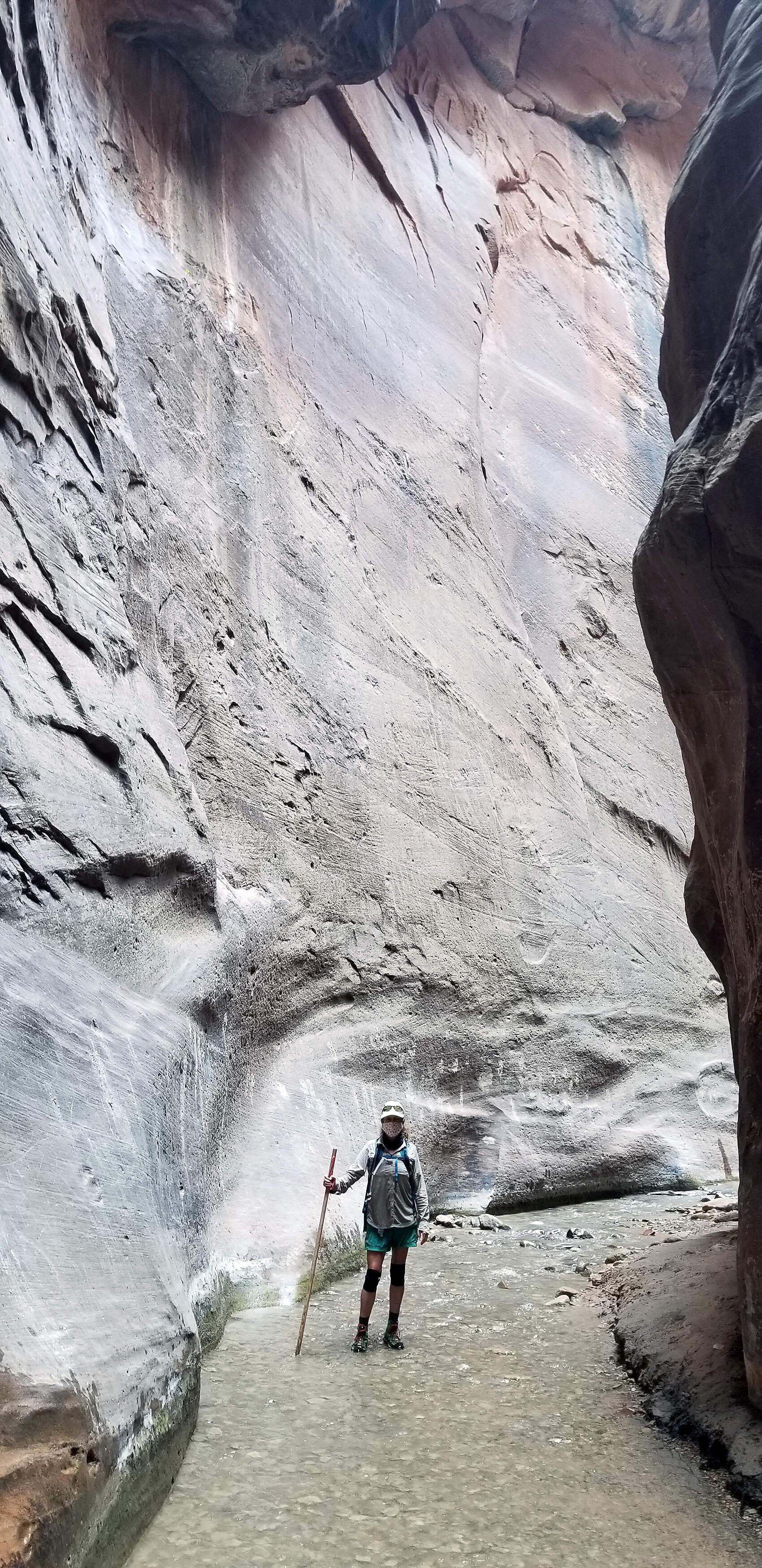
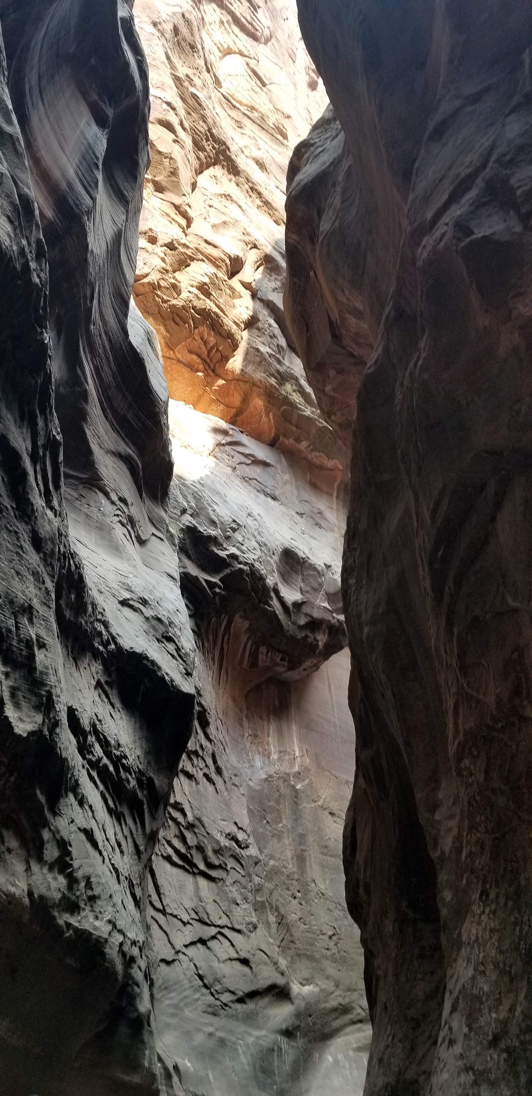
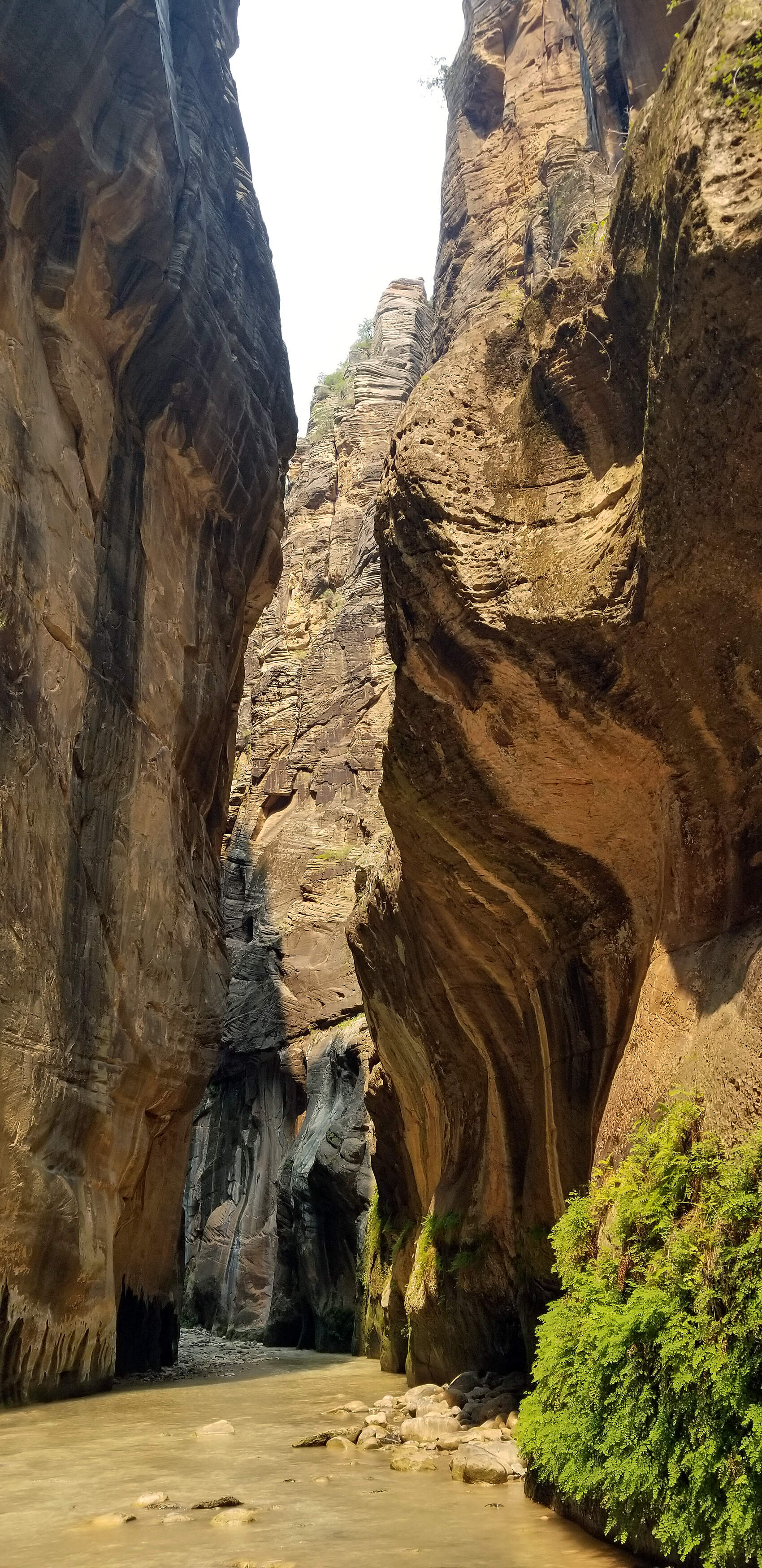
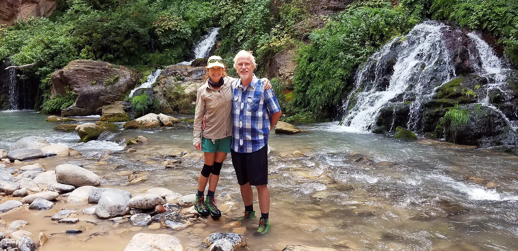
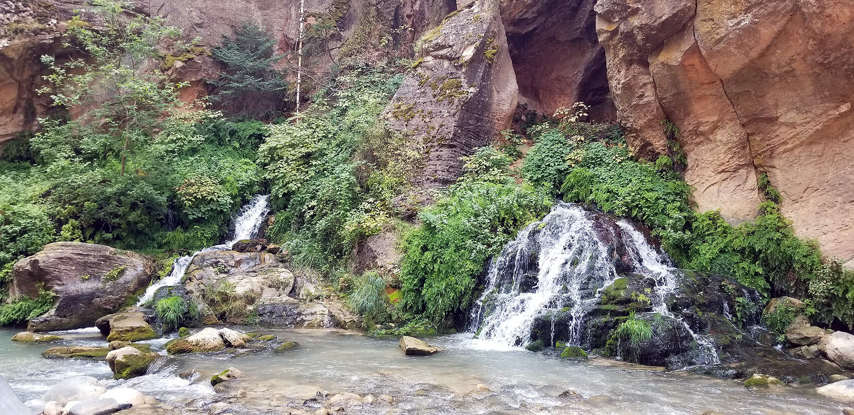
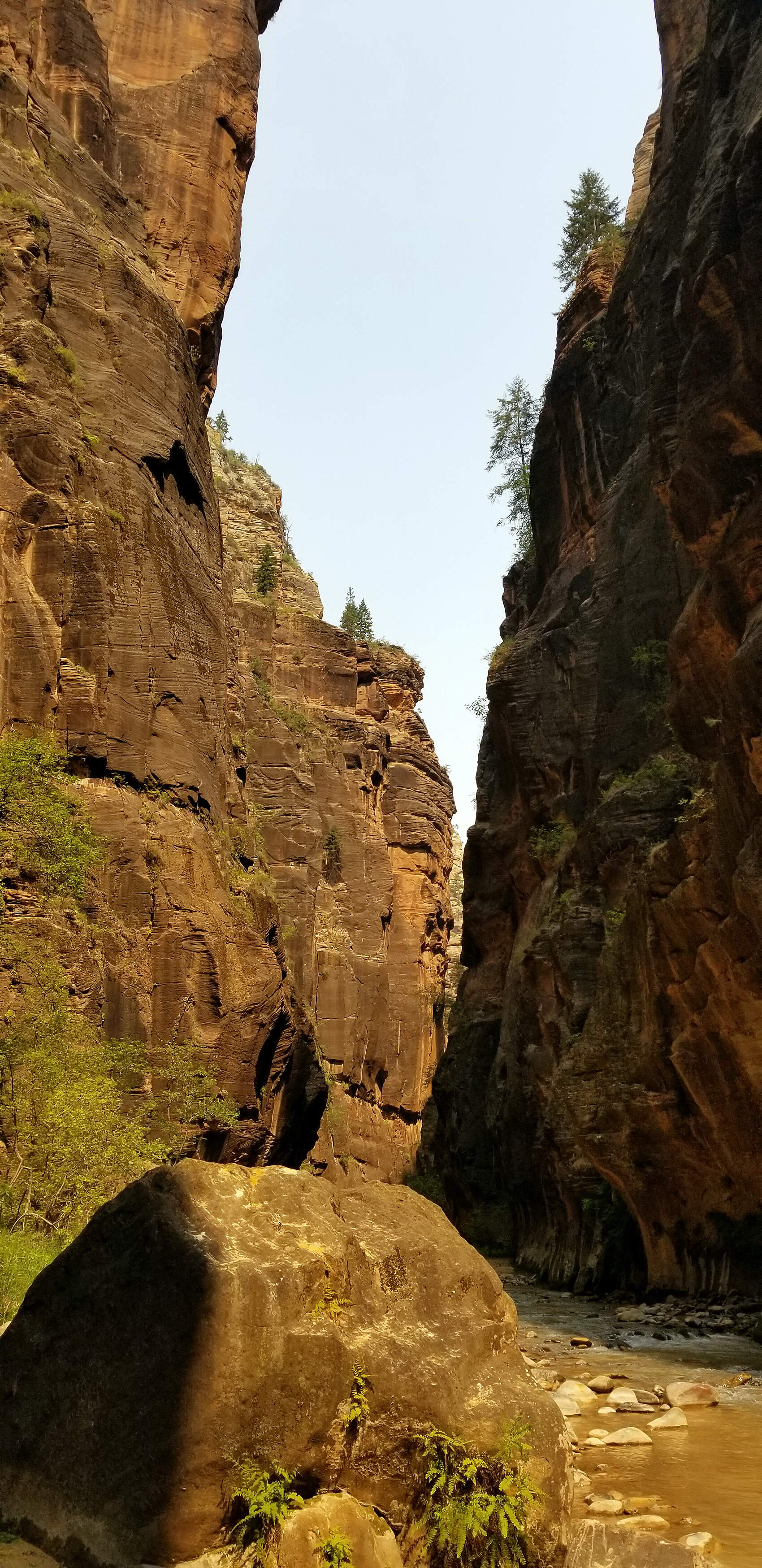
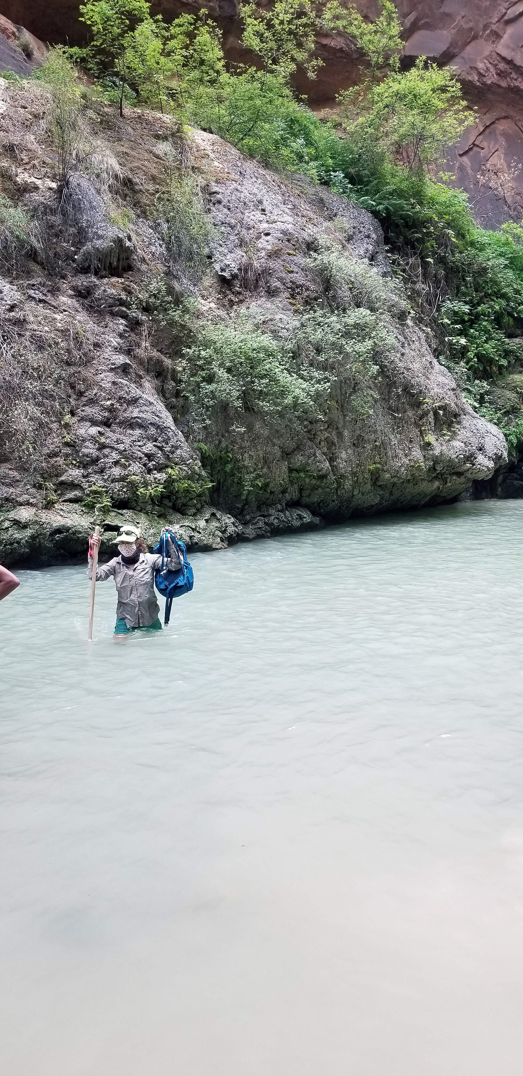
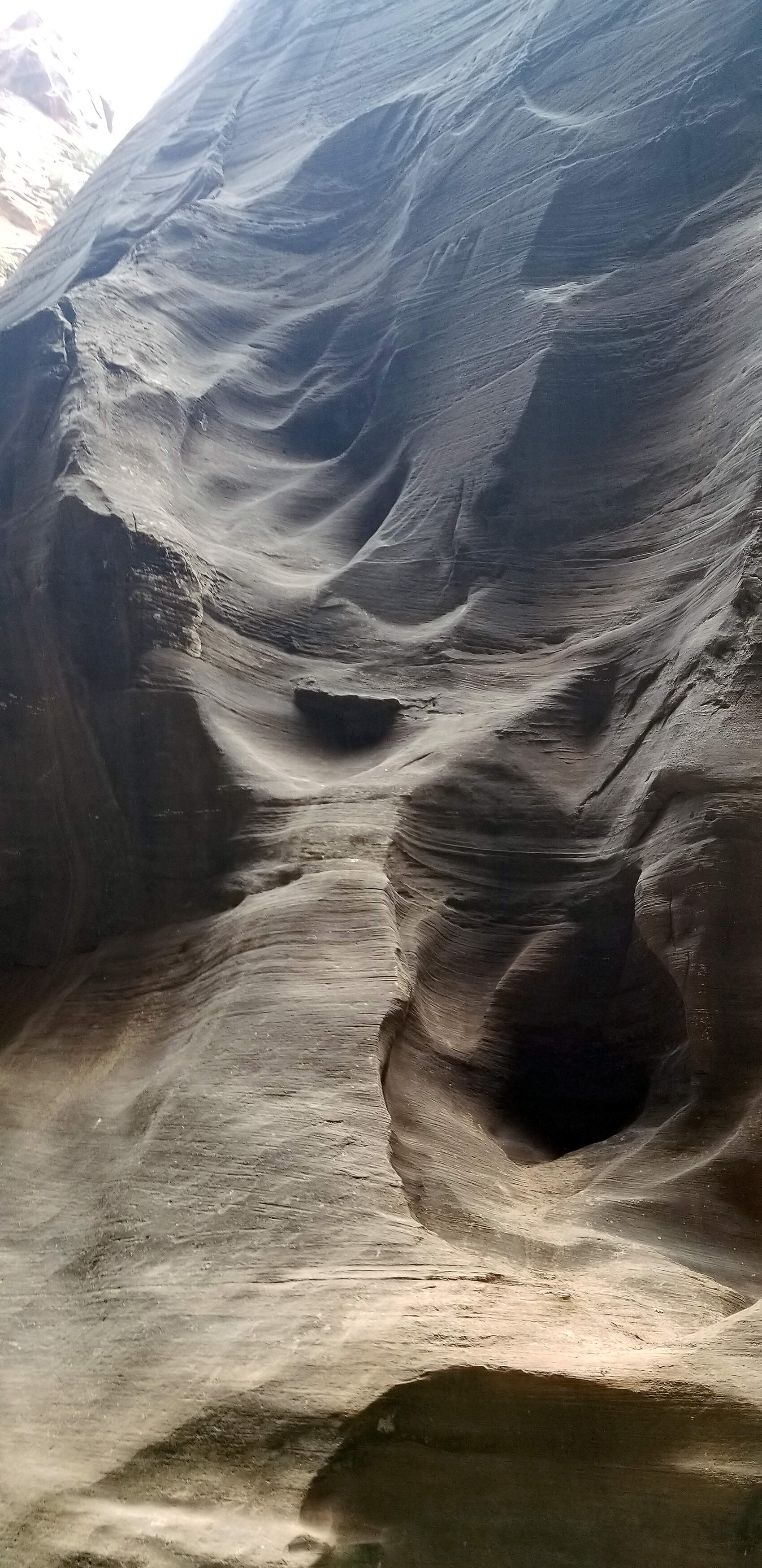
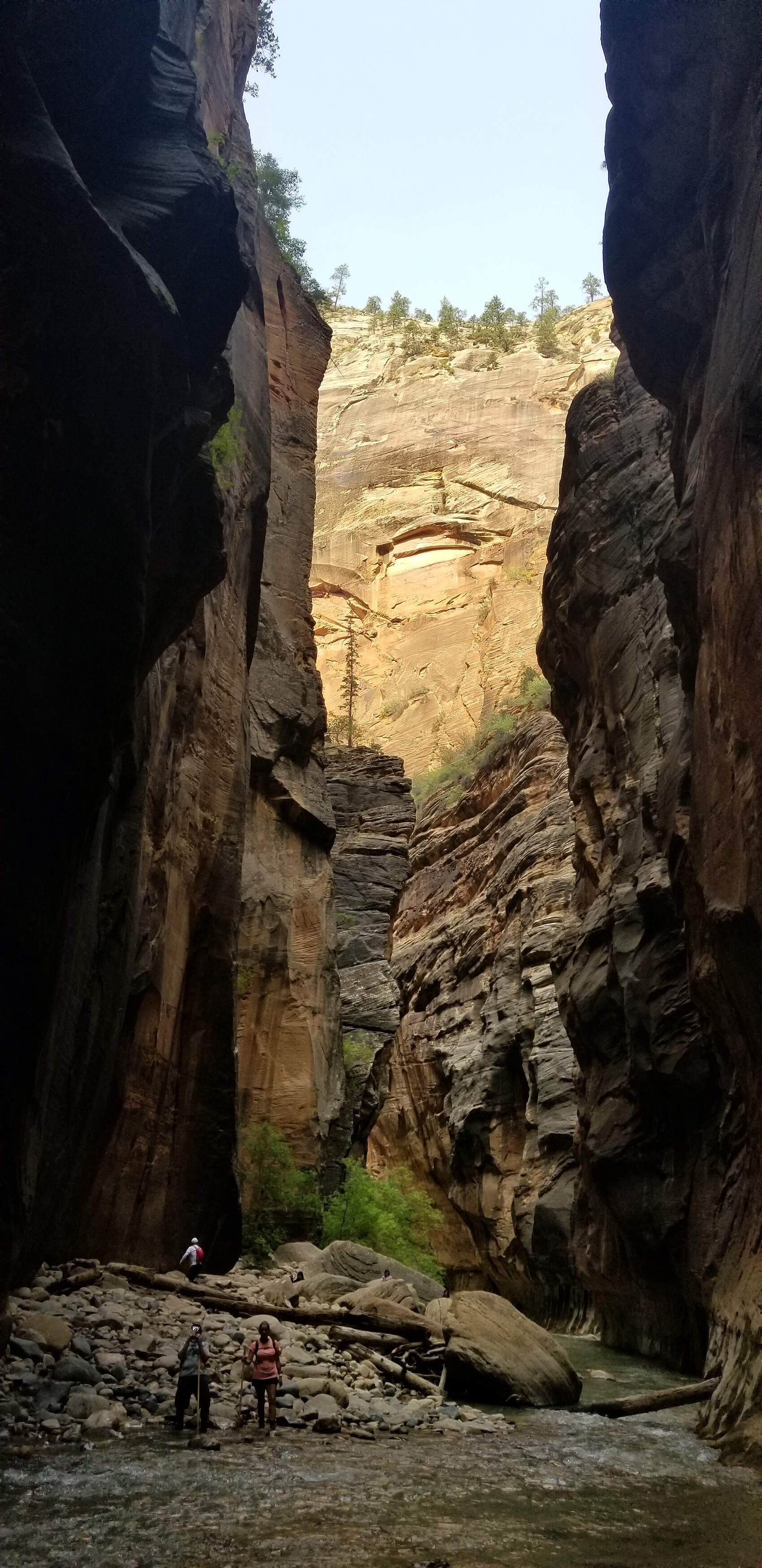
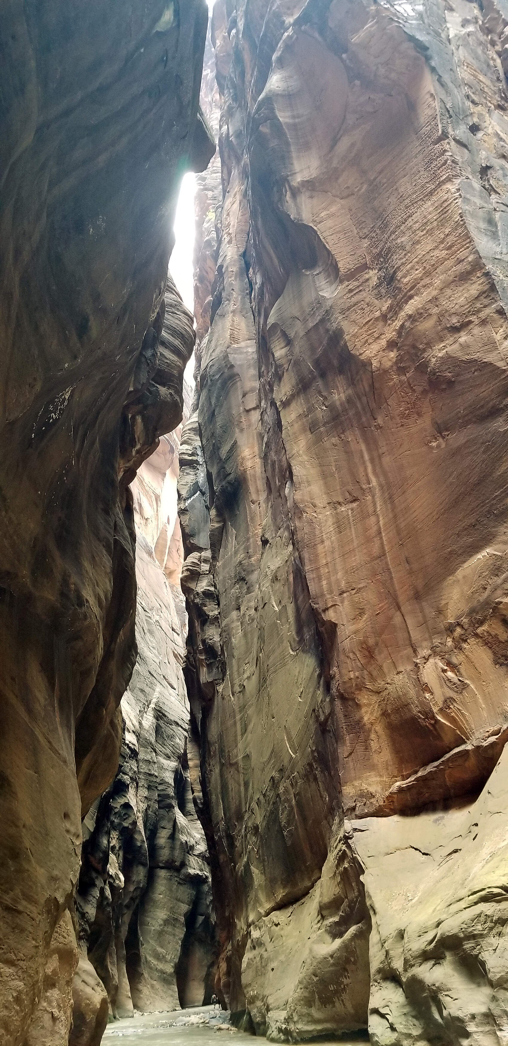
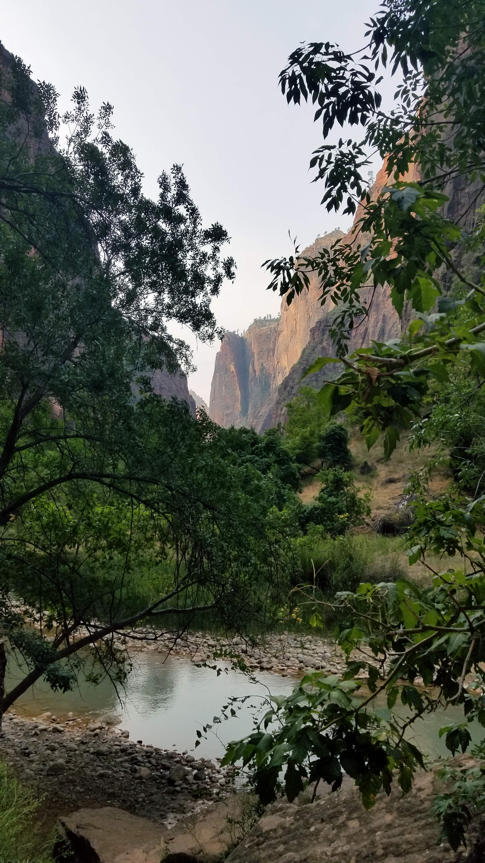
DAY 2: ZION - HIKING THE NARROWS
Total hiking miles this day: ~9.6 miles
This is a tiring 6 to 8 mile hike, but well worth the experience. It is a river hike so you will need to rent water proof boots and a special staff to help navigate the river. Allow about 6 hours if you want to see both forks in the river. Due to the constant balancing, finding sure footing, and undulating river bottom because it's covered in boulders you're pretty darn tired at the end of the day. You start early in the morning and get home at the end of the day. Needless to say, dinner tasted soooo good that night!
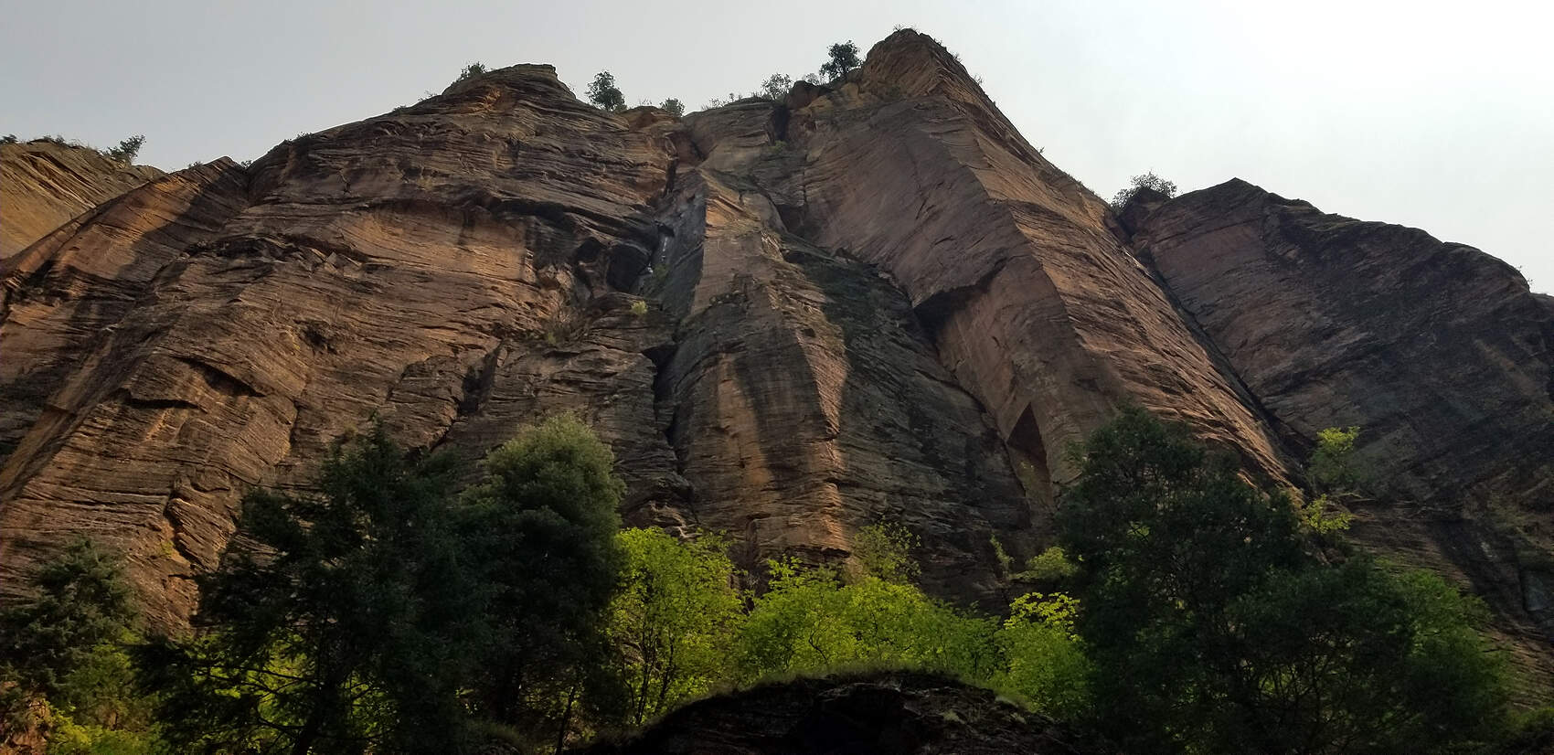
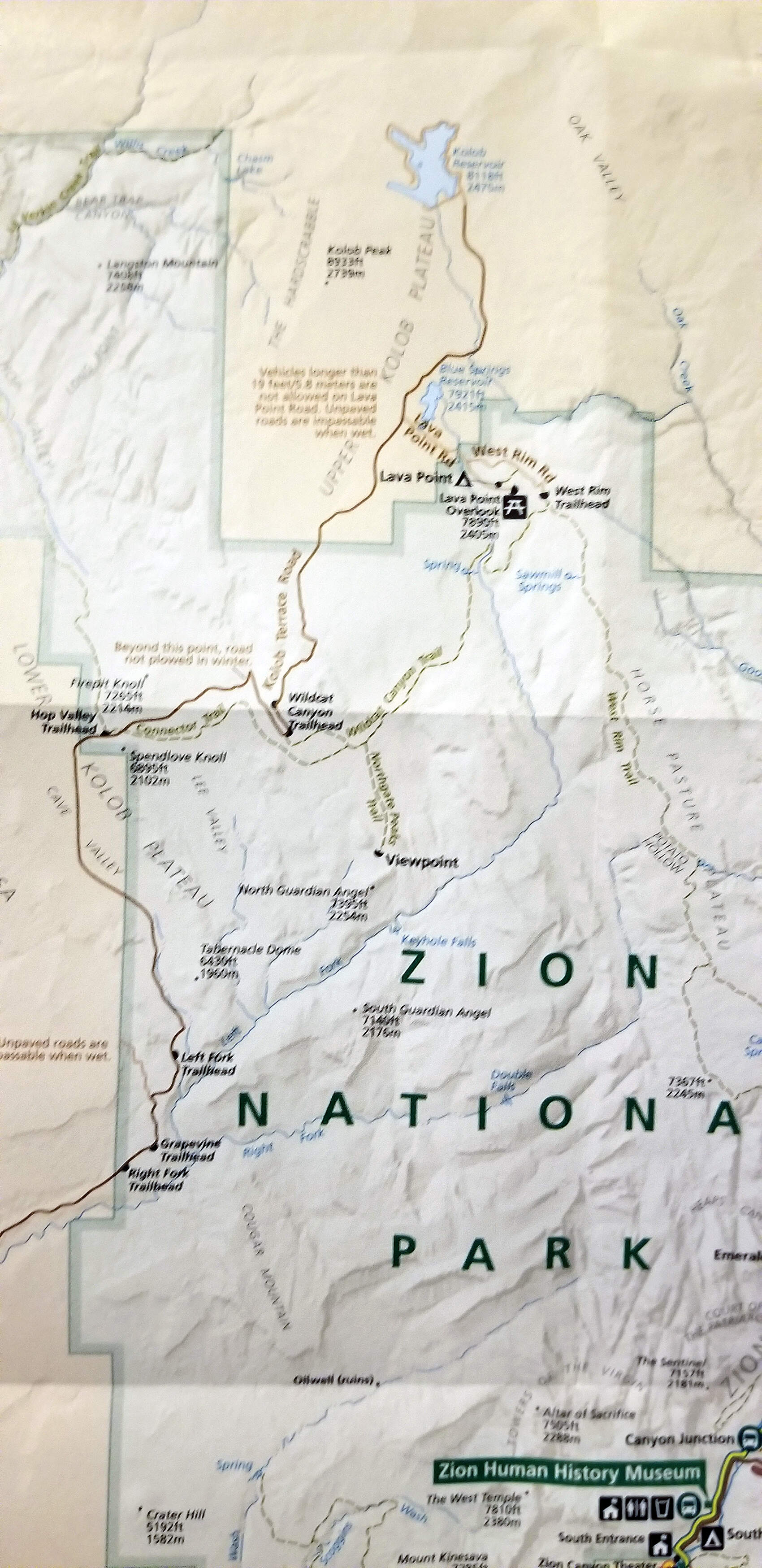
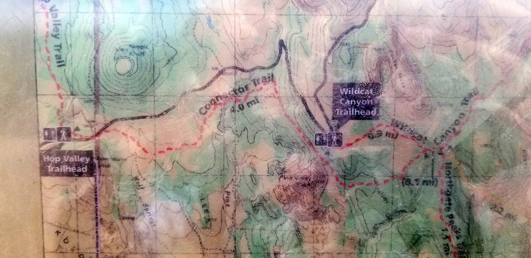
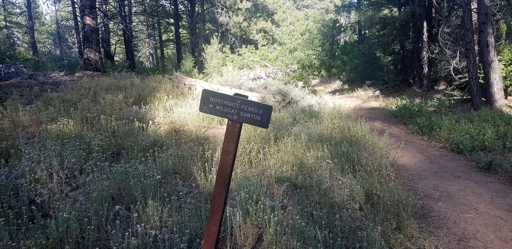
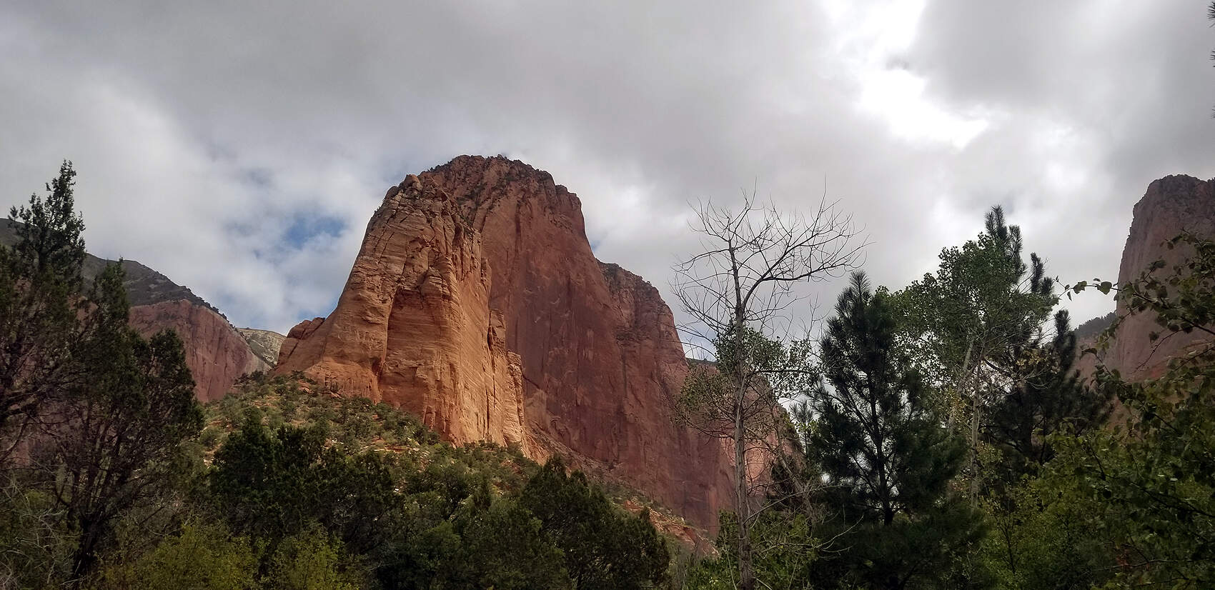
DAY 3: ZION - HIKING WILDCAT CANYON TRAIL
Total hiking miles this day: ~8.3 miles.
The temperatures on day 1 & 2 were about 105 degrees, but when you are on the river, especially in The Narrows, the weather is an even mid-70's. However, the next day the temperature dropped to 51 F. Neither of us had warm clothes. John likes the cool weather, but cold is not my thing, which is why I was wrapped in a towel to keep my legs warm and wearing about 4 shirts, LOL. We picked Wildcat Canyon because it was in the northern area and fairly sheltered from the gusting wind. The majority of the trails at Zion were closed due to COVID-19. The entire Wildcat Canyon trail is a little over 11 miles, but we only did about 6 miles roundtrip.
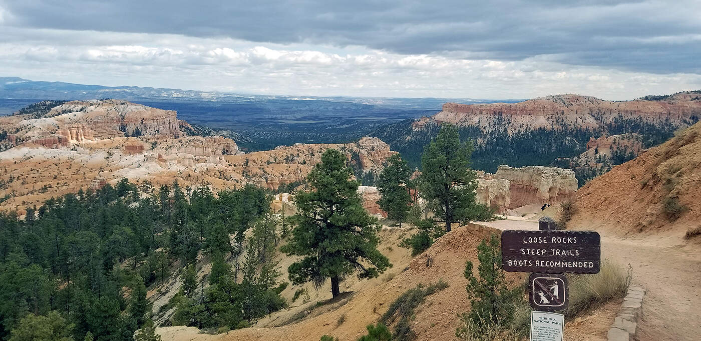
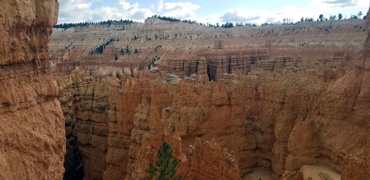
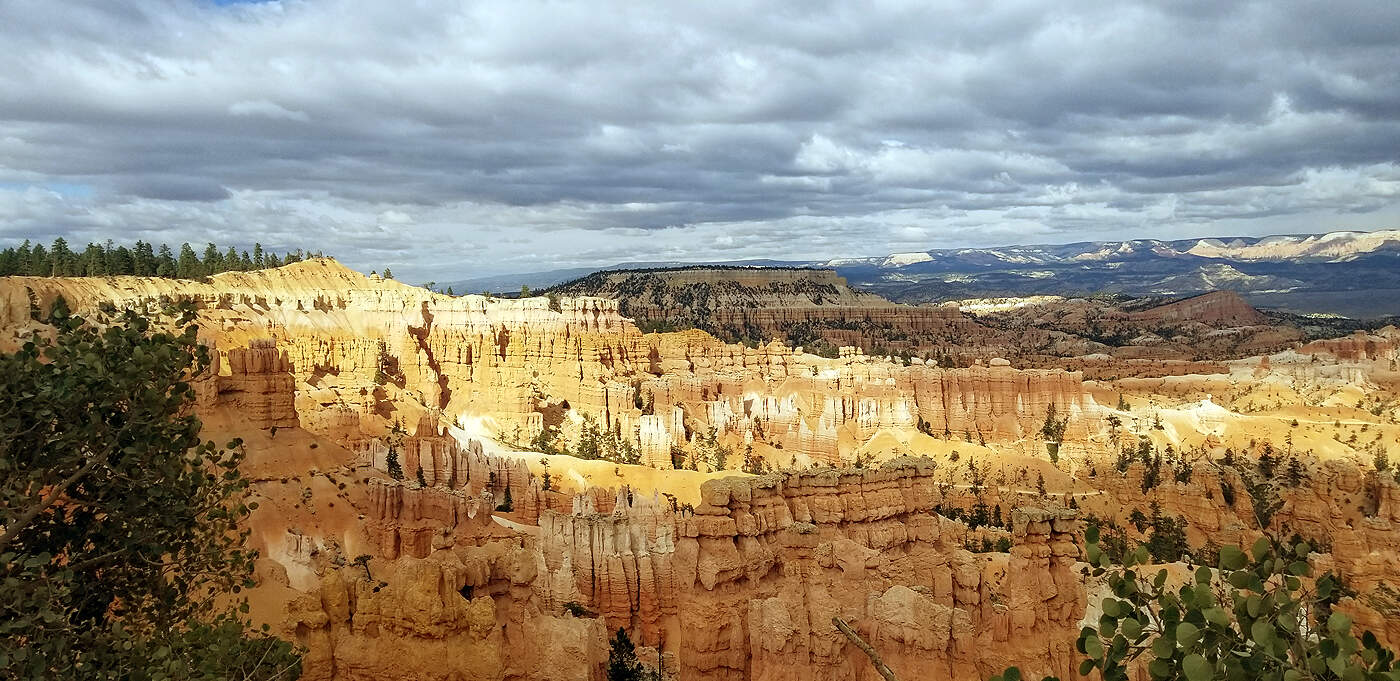
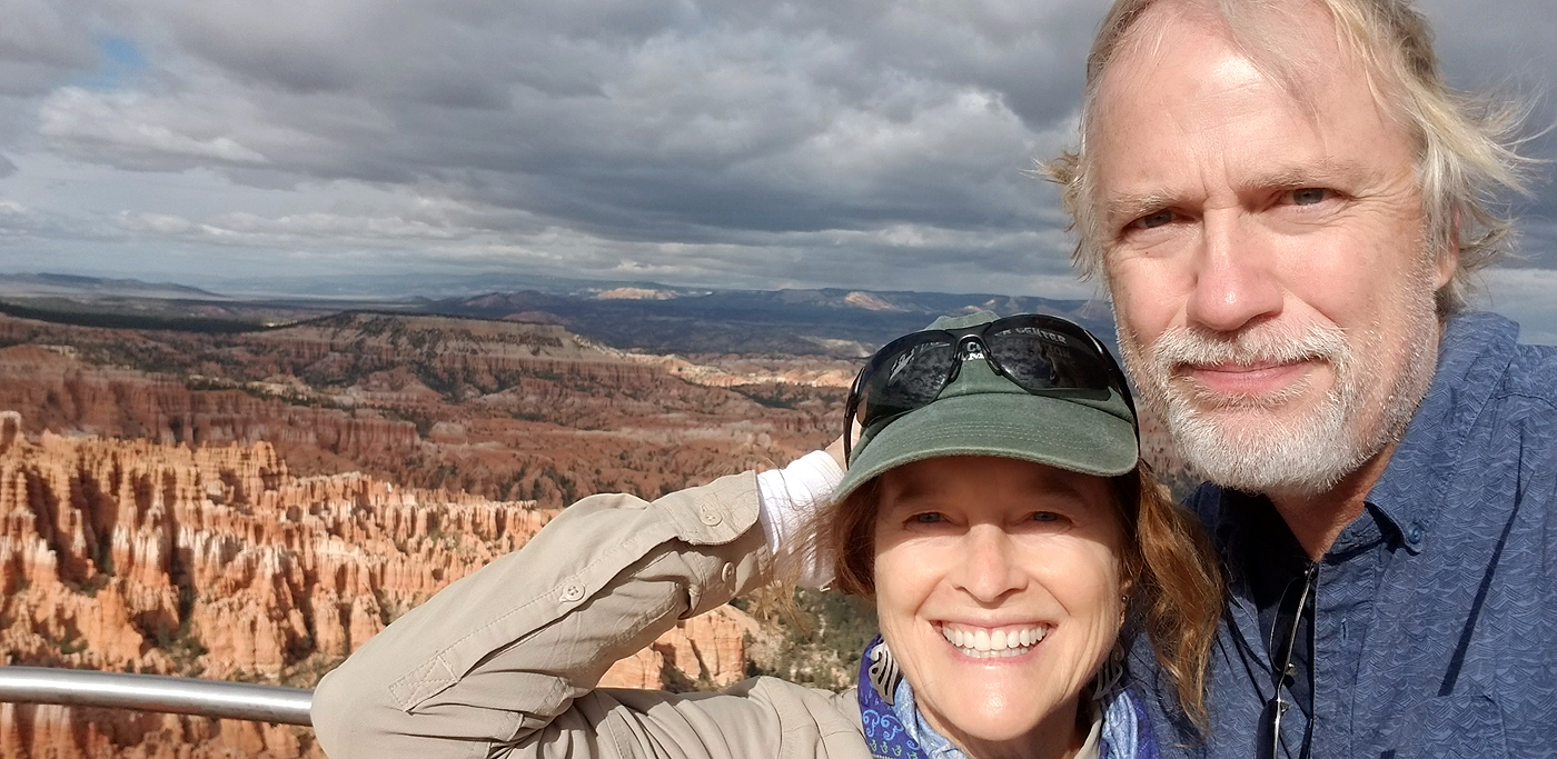
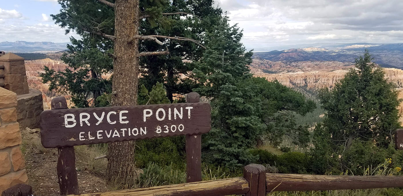
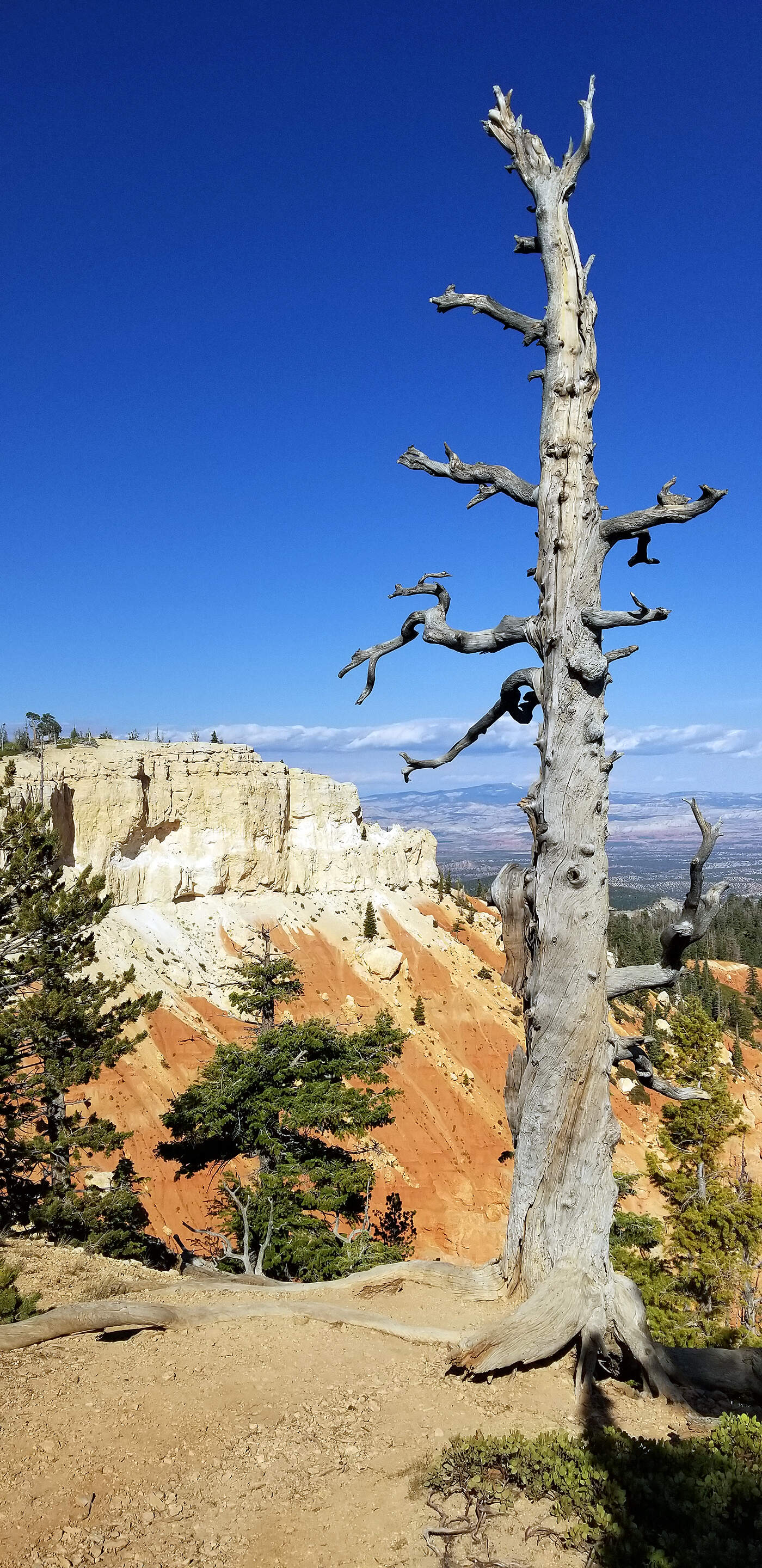
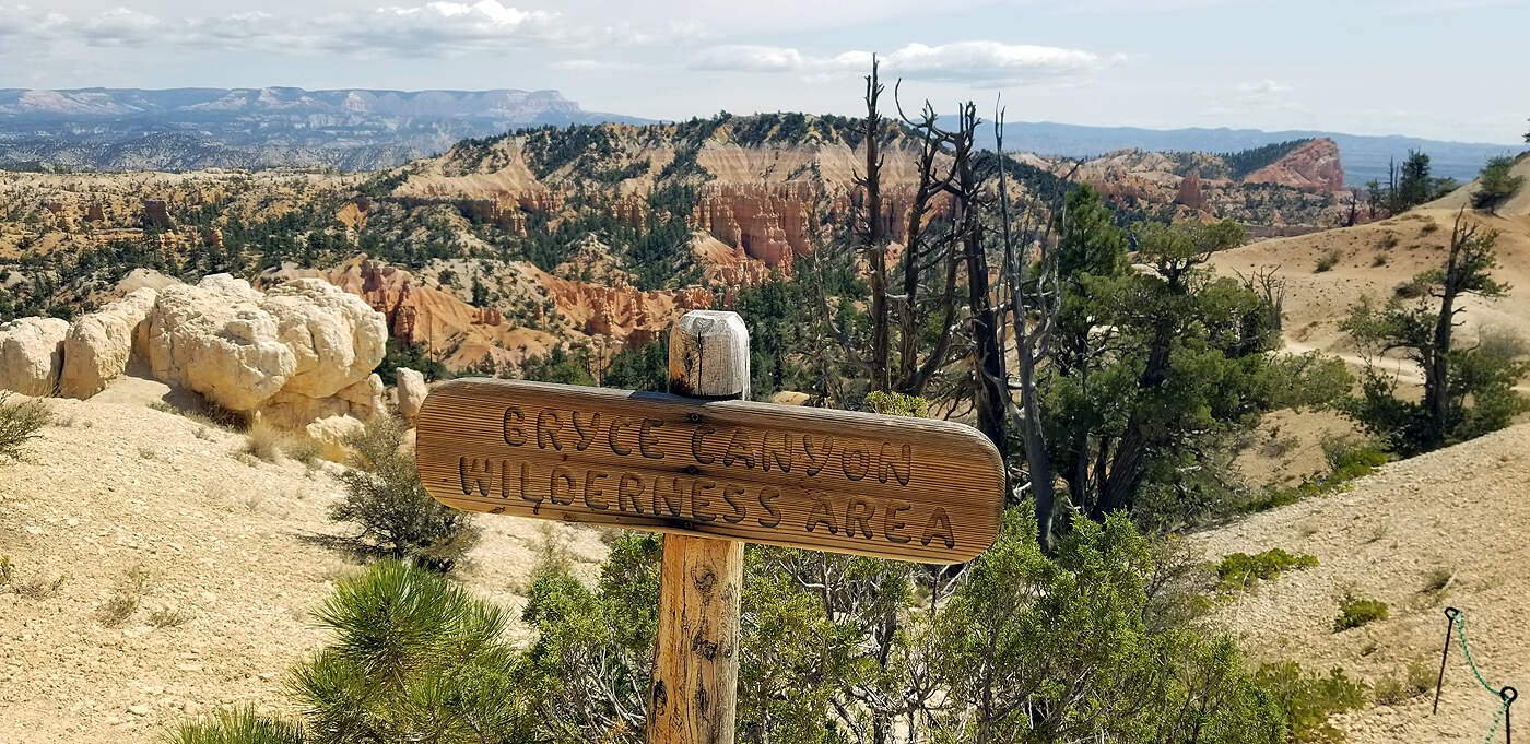
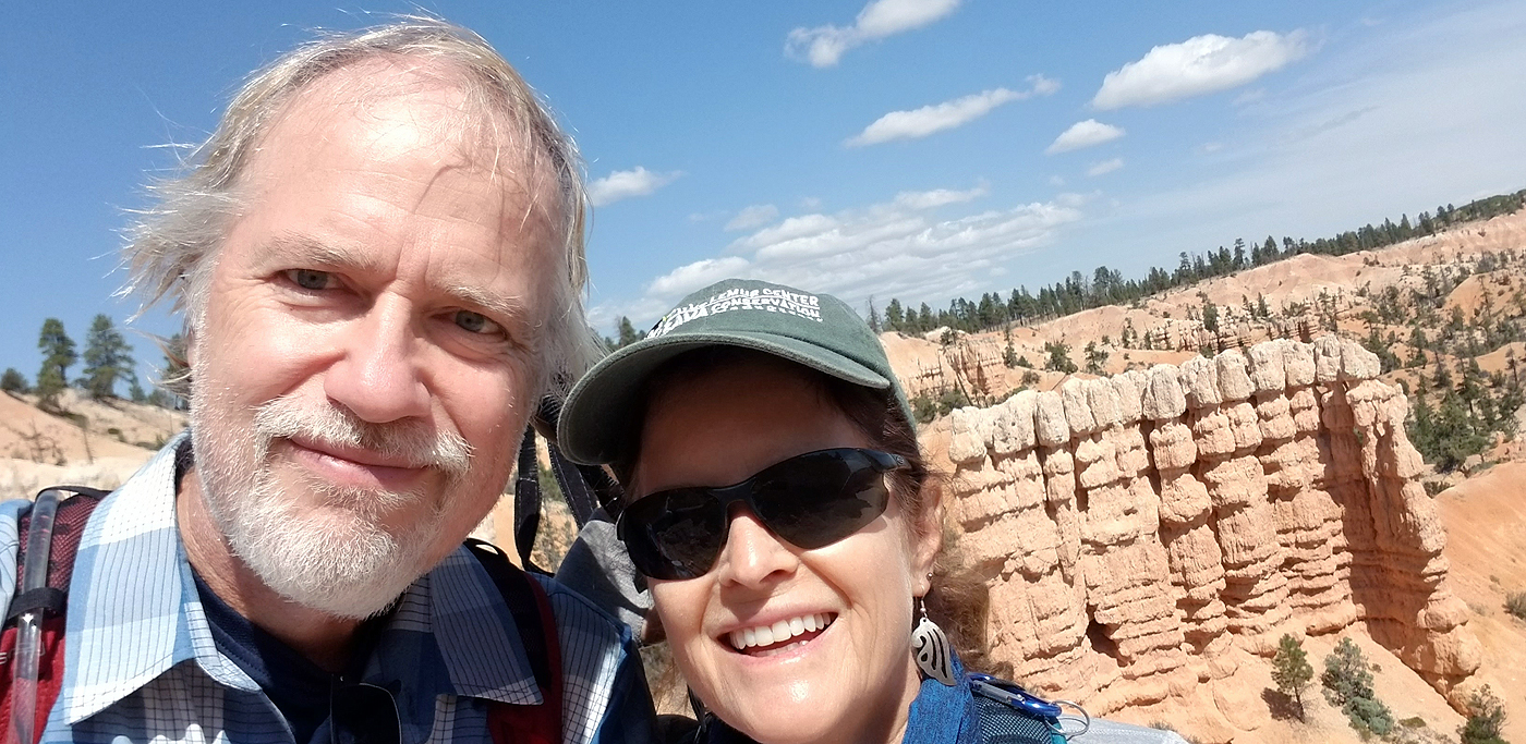
DAY 4: BRYCE CANYON NATIONAL PARK
Total hiking miles this day: ~7.8 miles
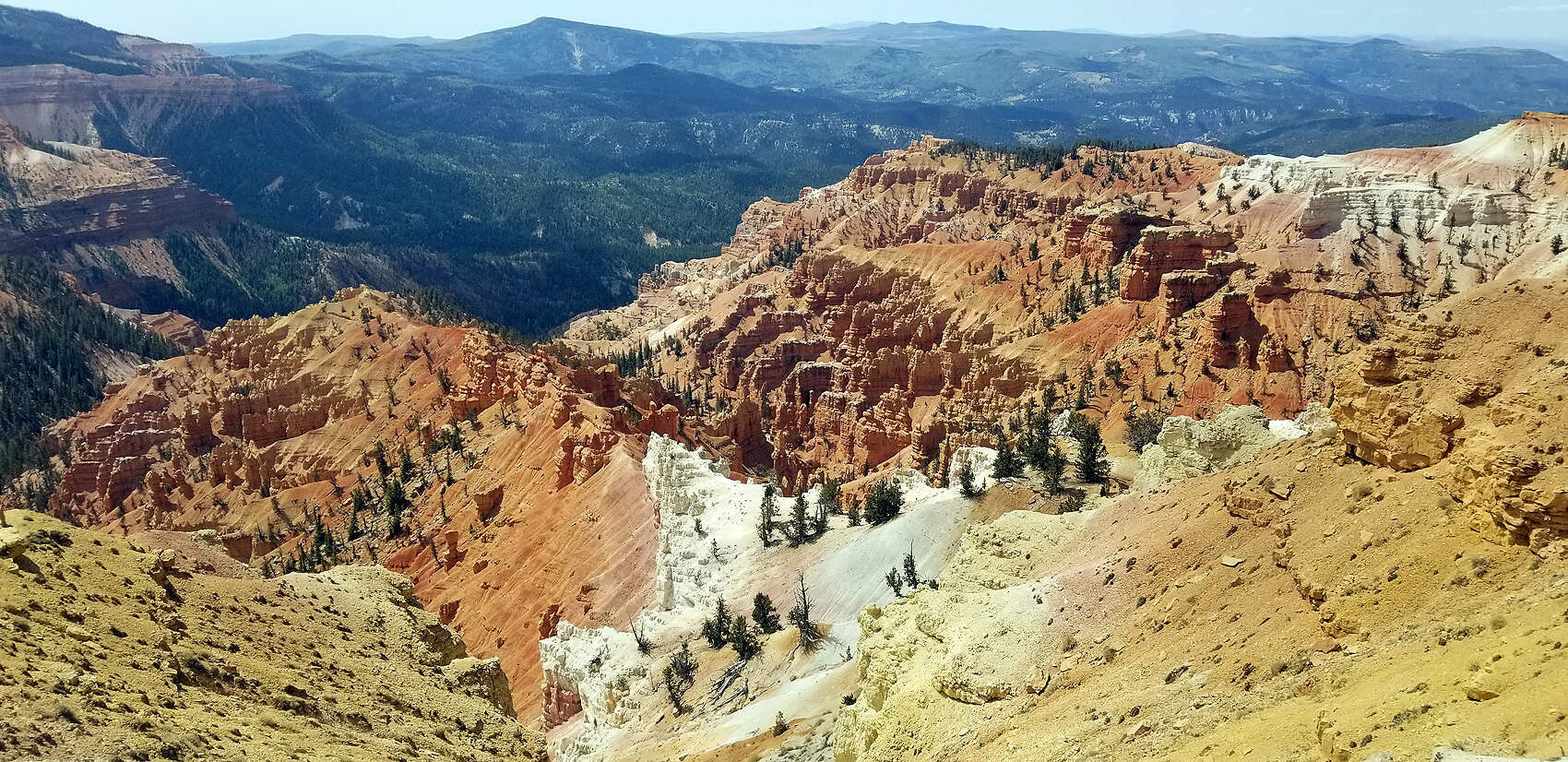
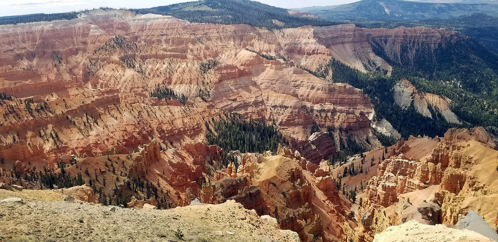
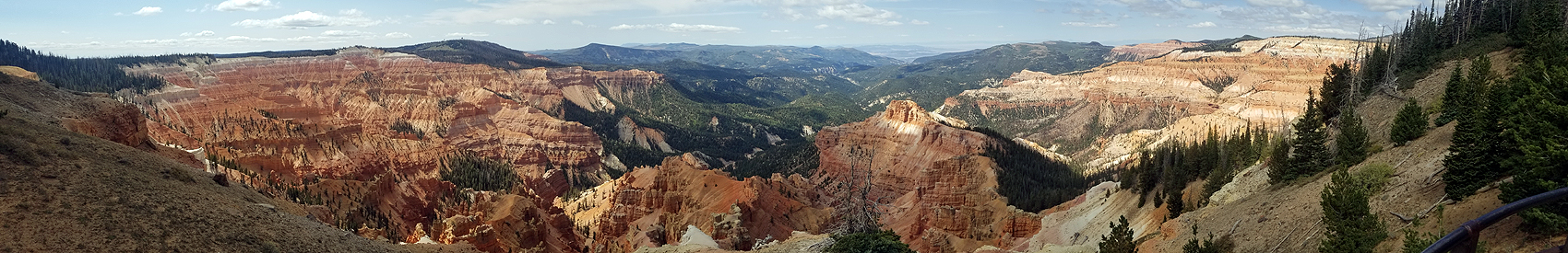
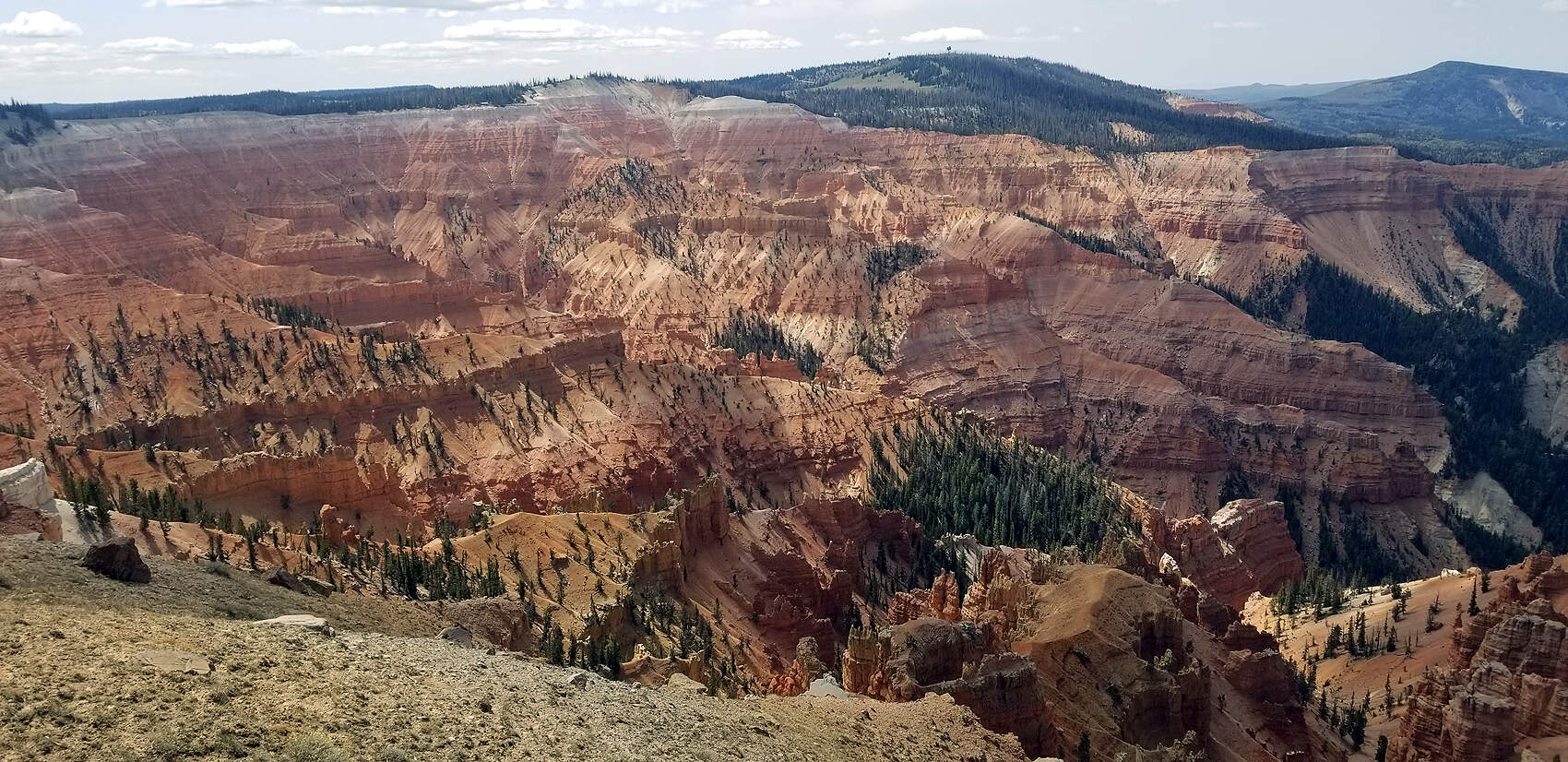
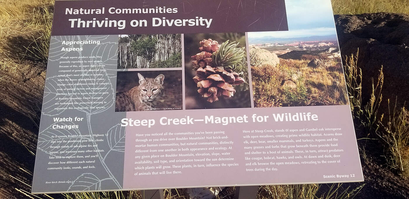
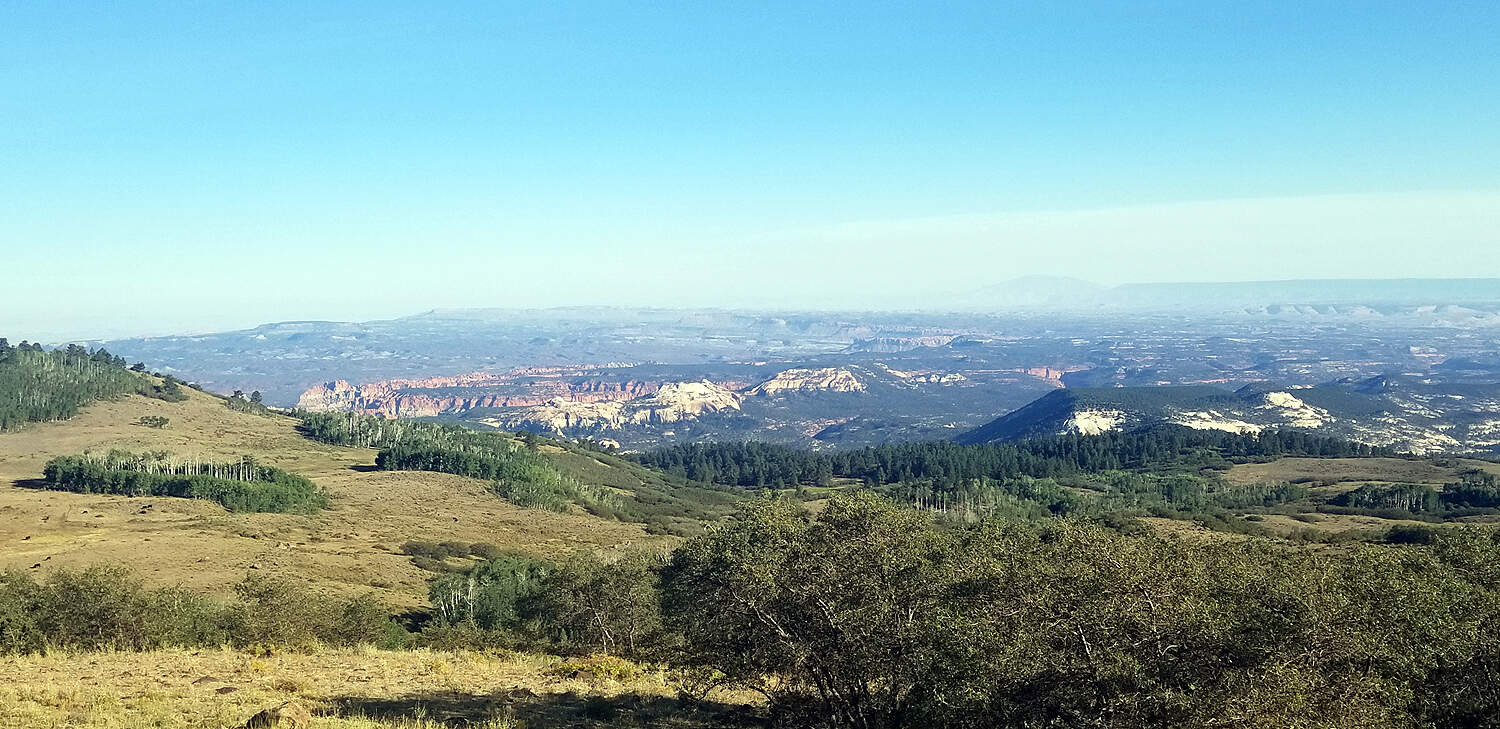
It's a beautiful drive to Bryce from Zion. Along the way there is a mini-Bryce Canyon called Cedar Breaks which is interesting to see except for the right side of it actually looks like a rock quarry. Overall, it's a hint of what you'll see at Bryce Canyon National Park.
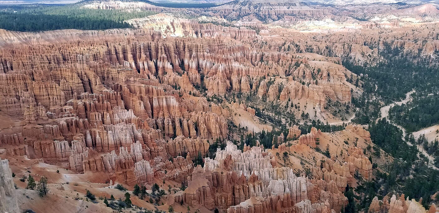
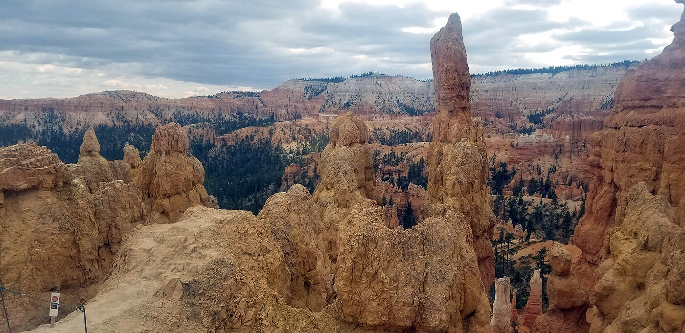
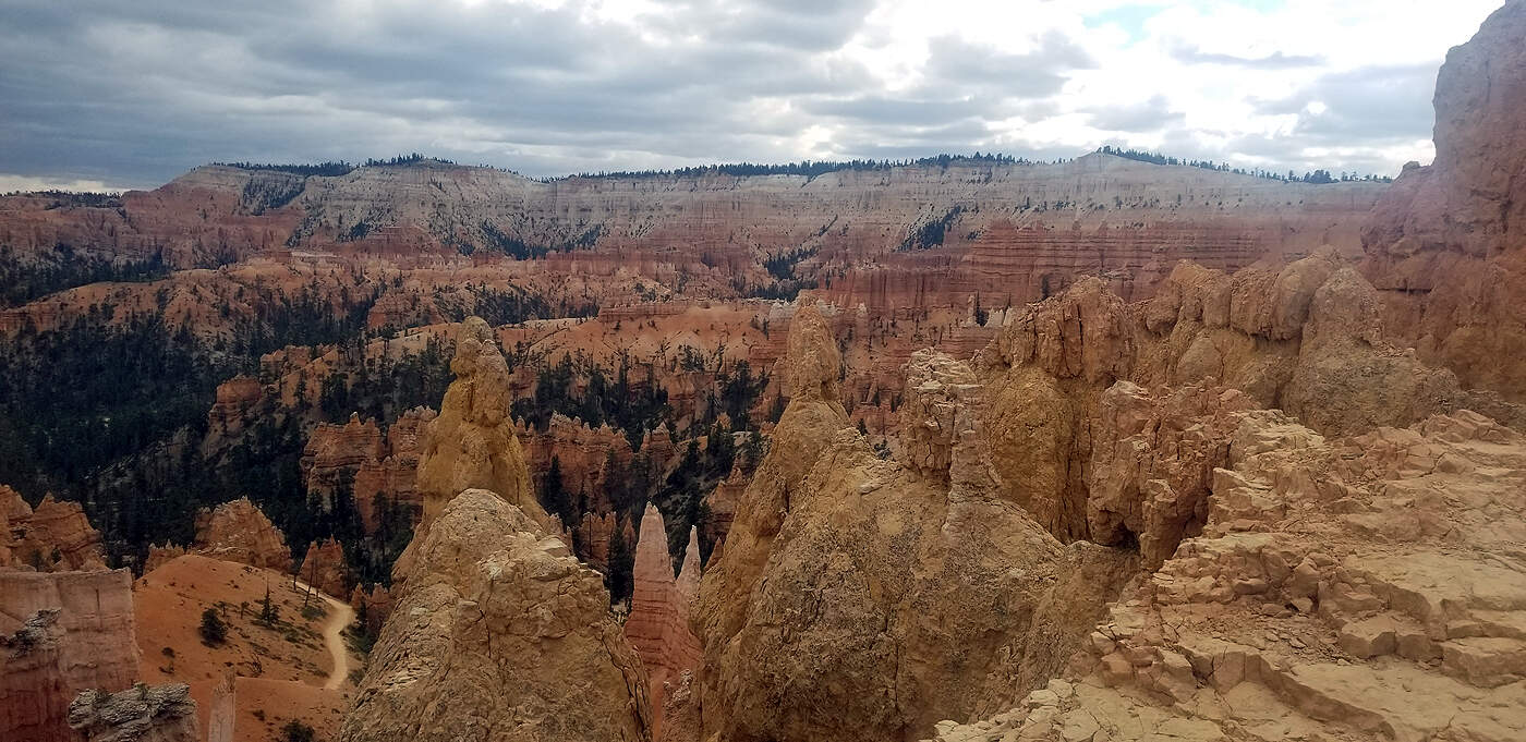
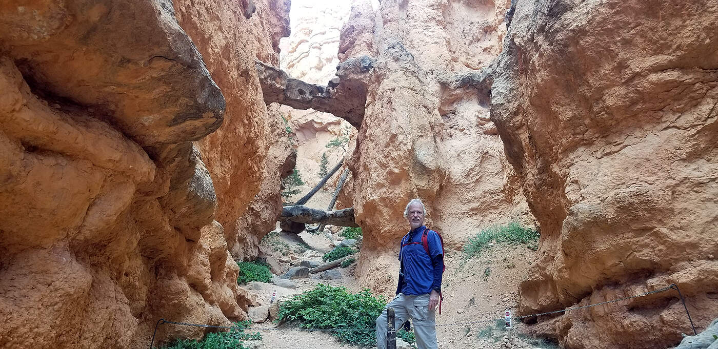
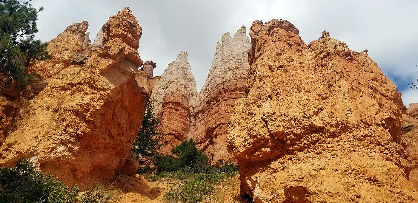
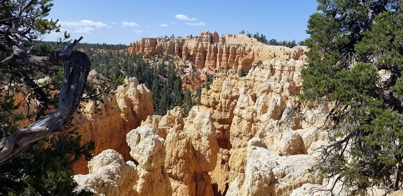
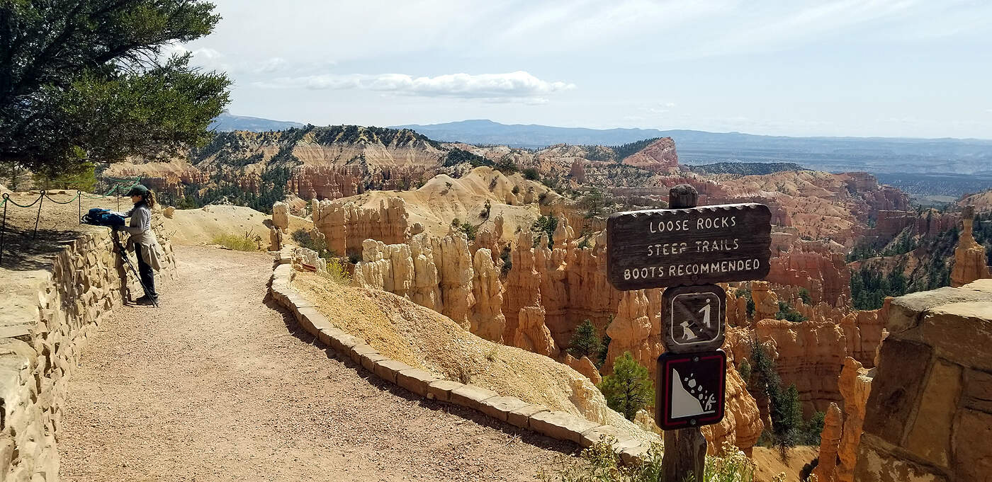
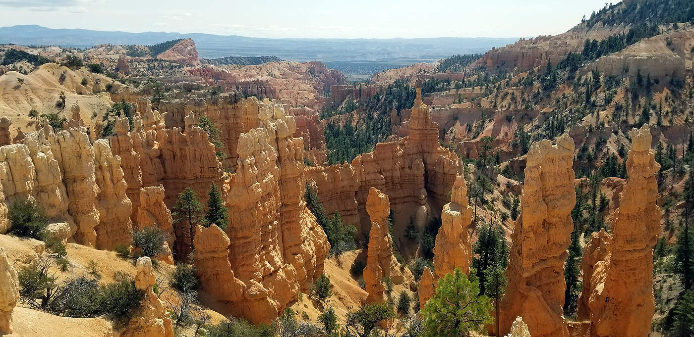
BRYCE CANYON: QUEEN'S GARDEN TRAIL
This hike is a short 1.8 miles.
The Queens Garden Trail begins at Sunrise Point, descends 320 feet (98m), is considered the least difficult trail entering the canyon from the rim. Traveling this trail you will see many hoodoos, representative of garden like features. Using your imagination you may be able to see Queen Victoria at the end of a short spur trail, overseeing the garden before her. Details in courtesy of the National Parks website.
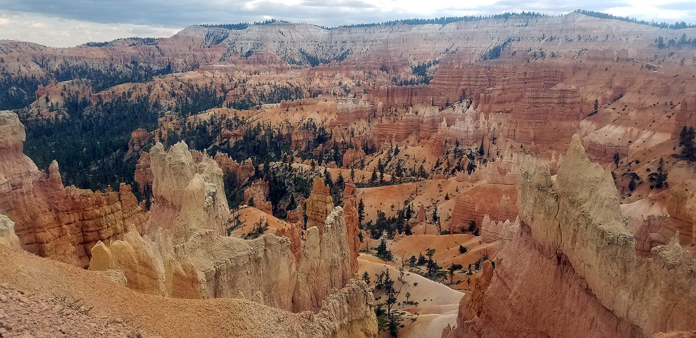
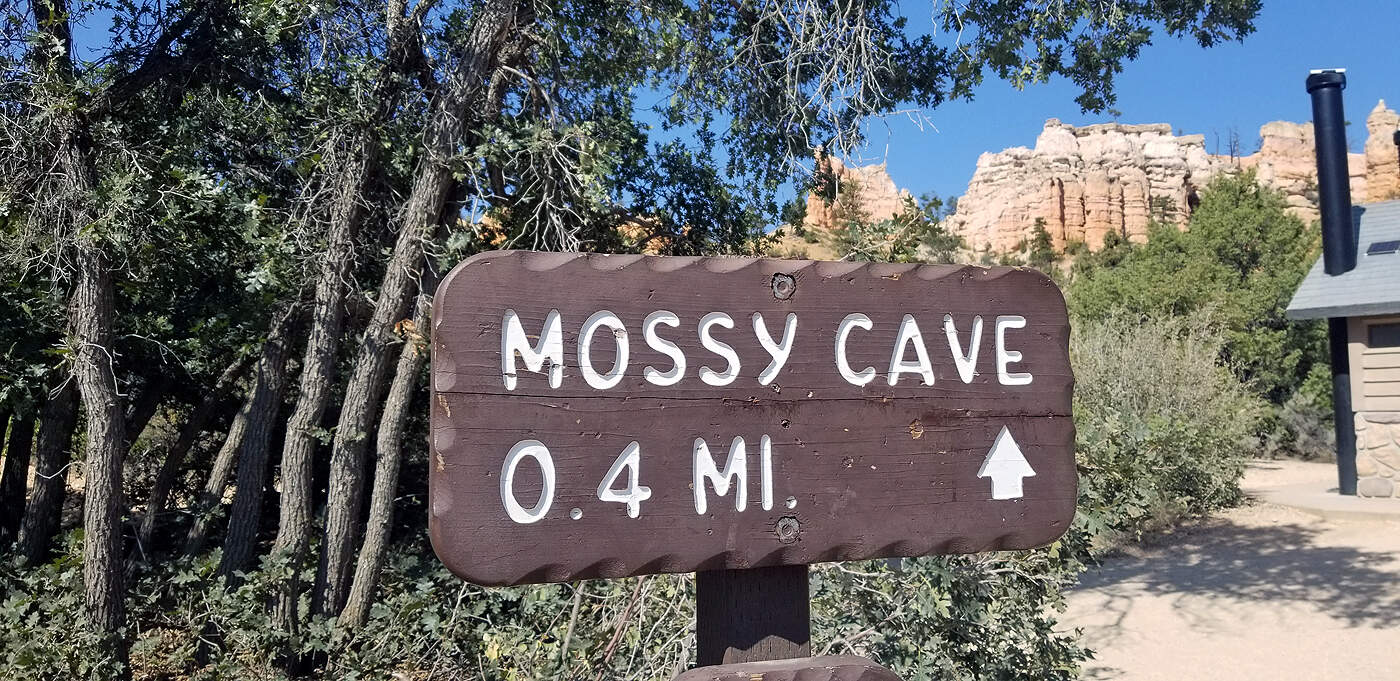
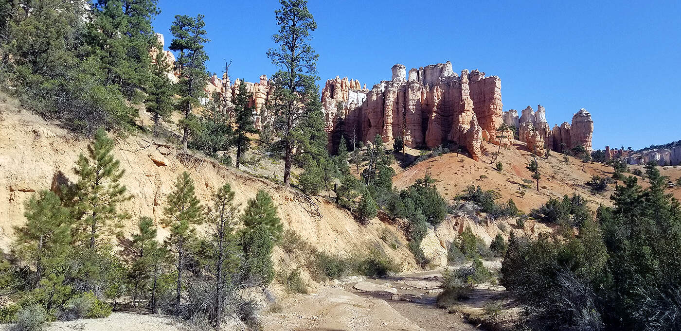
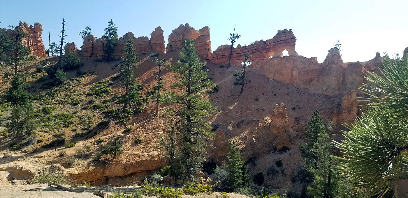
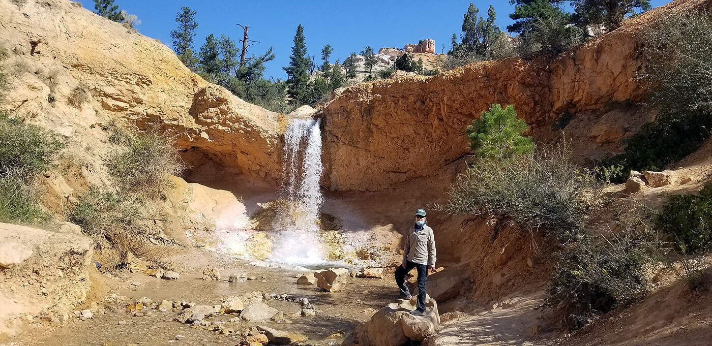
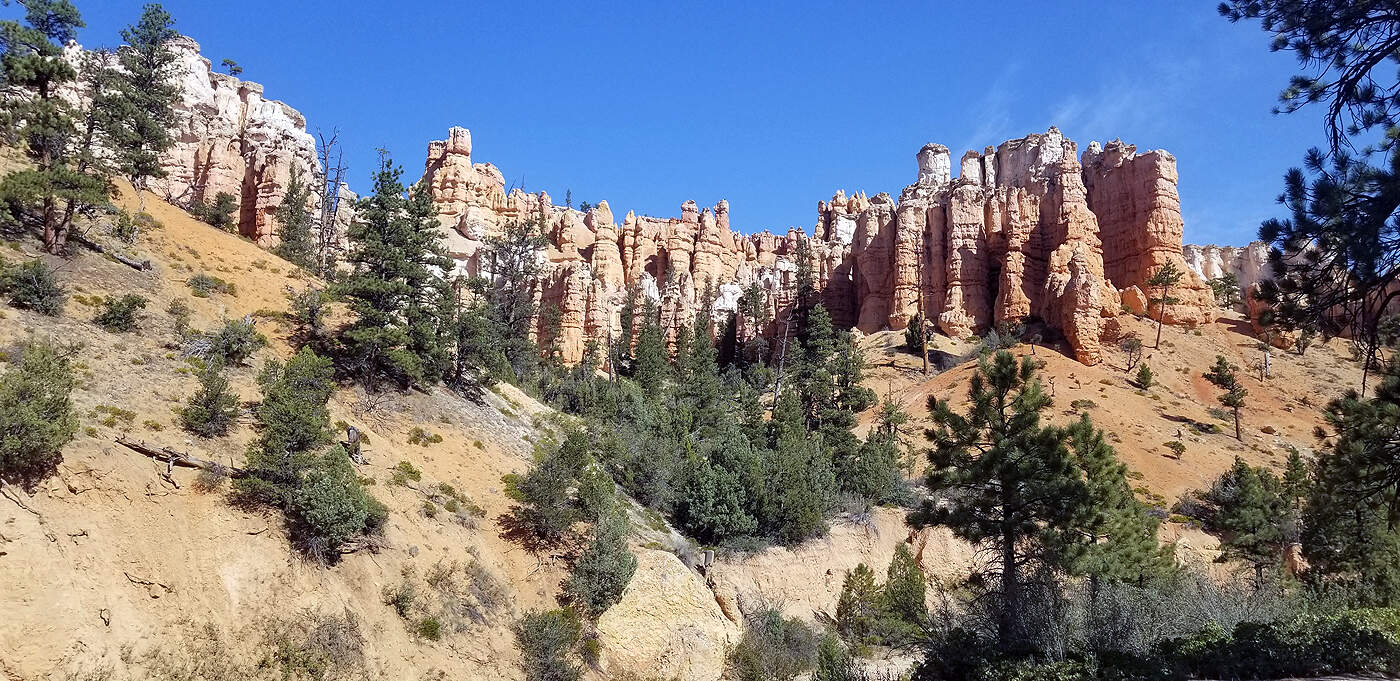
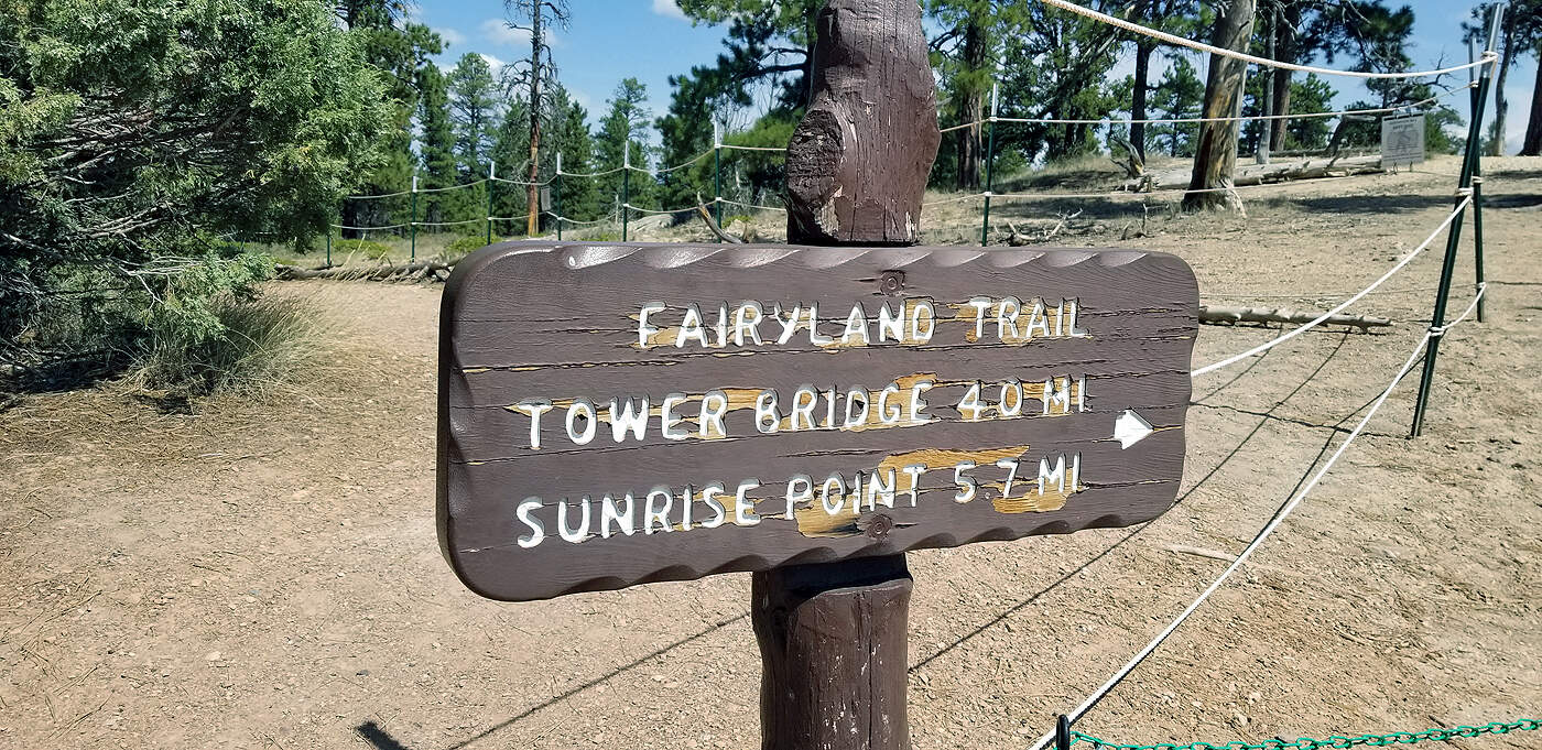
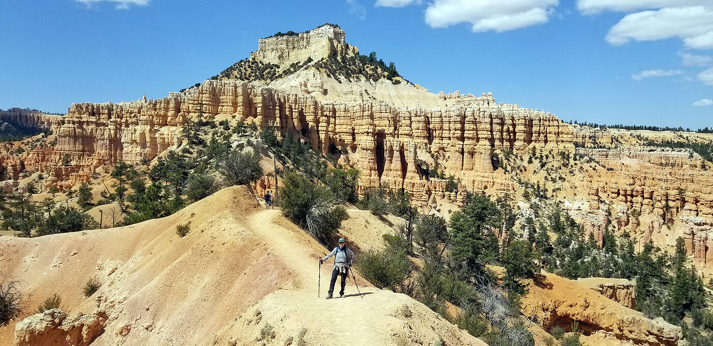
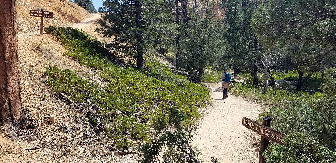
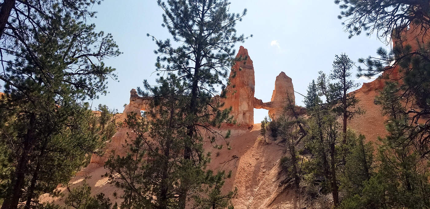
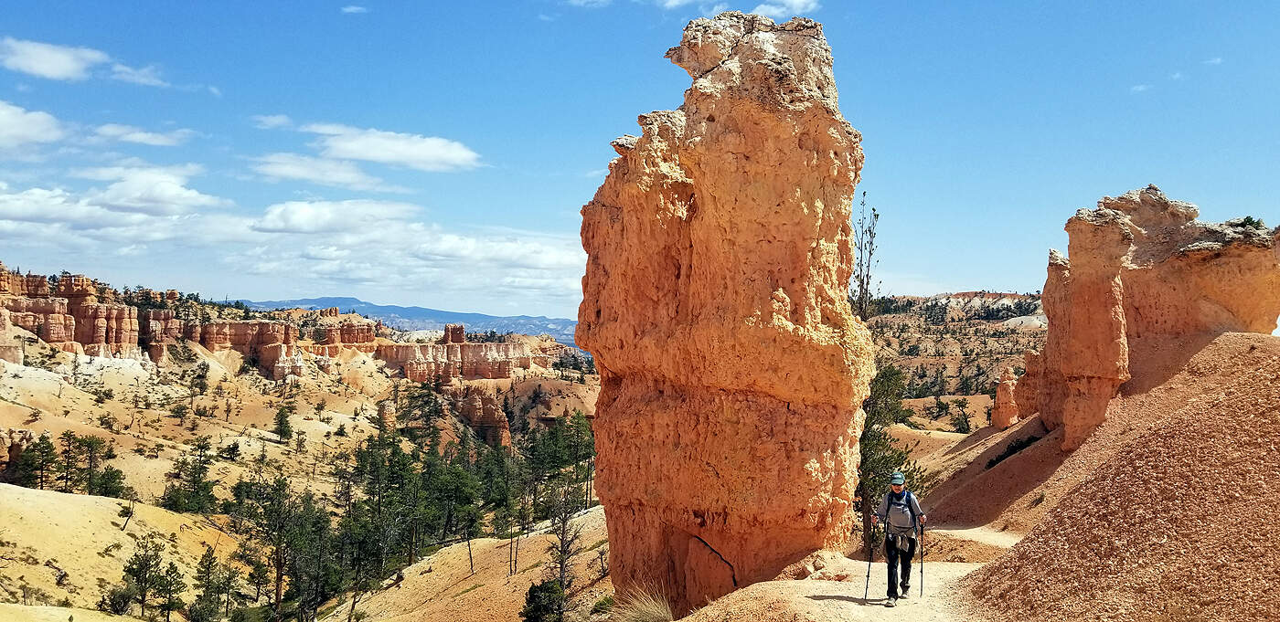
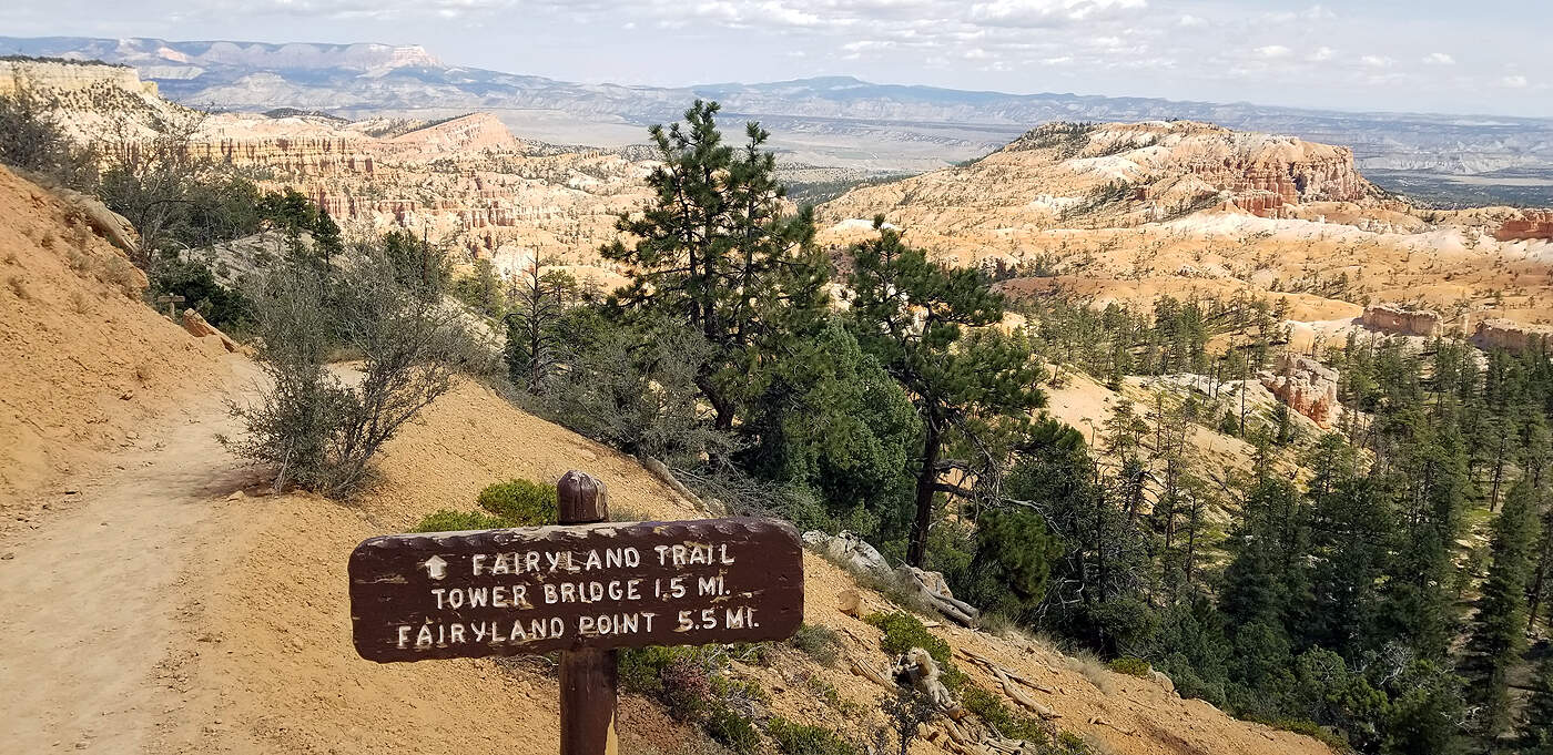
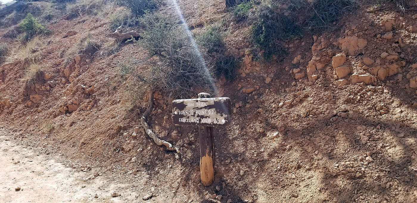
DAY 5: MOSSY CAVE & BRYCE CANYON'S FAIRYLAND TRAIL
Total hiking miles this day: ~
11.9 miles
Not much of a cave here, but a nice short .4 mile hike to warm up your legs and a nice a waterfall.
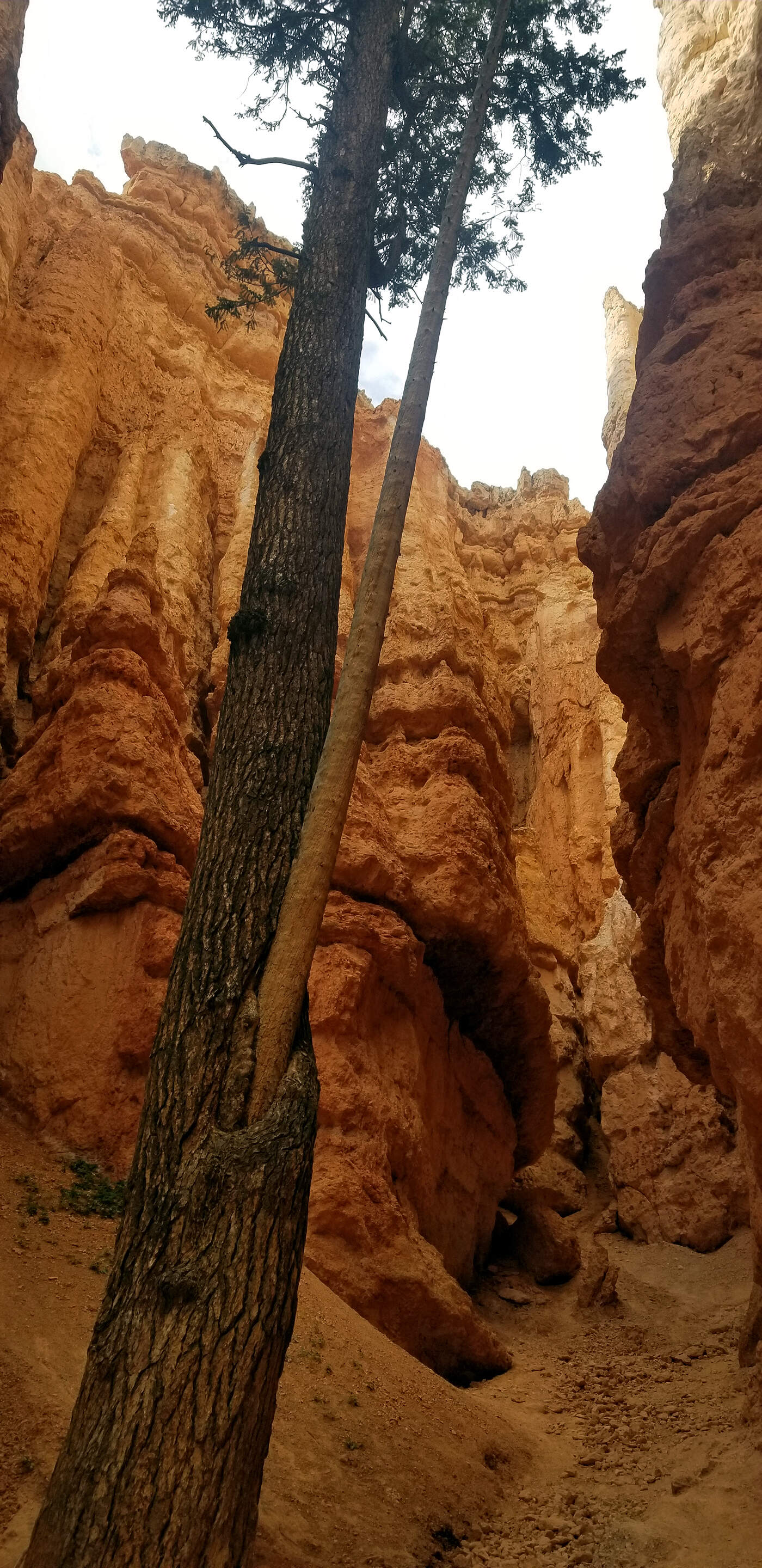
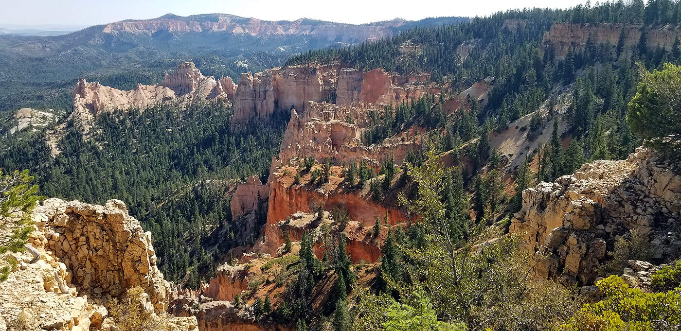
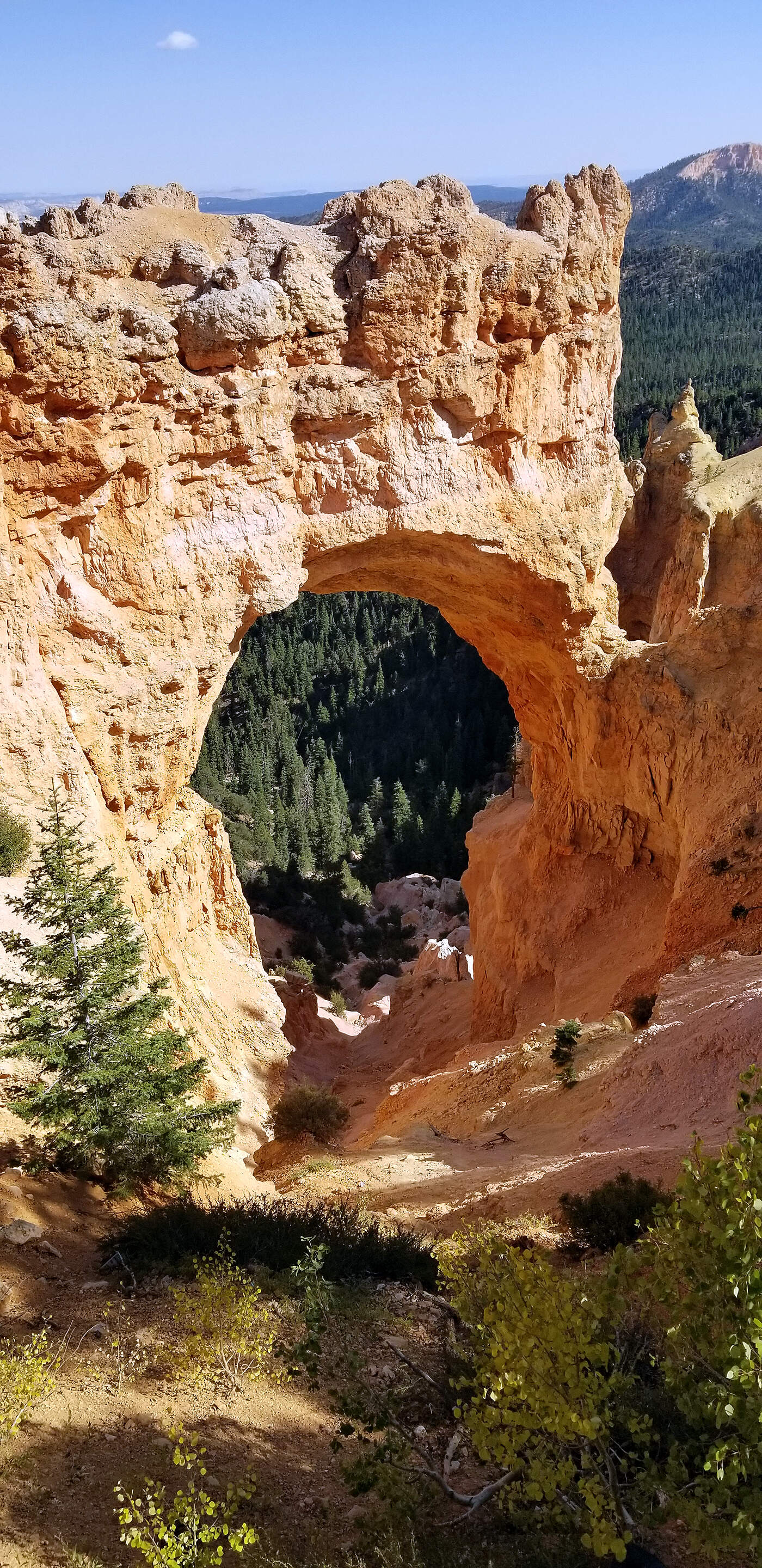
BRYCE CANYON: FAIRYLAND LOOP TRAIL
The Fairyland Loop Trail takes hikers from Fairyland Point on the rim, down into the amphitheaters and labyrinths, among the hoodoos and spires, and through deep, stone canyons of pink, white, and tan. The hike is long, dropping close to 900 feet into the bottom of the valley, and then circling wide around the massive base of Boat Mesa. The trail sticks to the bottoms of Fairyland and Campbell Canyon for the majority of the journey.
Trail Head: 37.649463, -112.147767 Length: 8.3 miles round trip Difficulty: Strenuous
Details per Utah.com
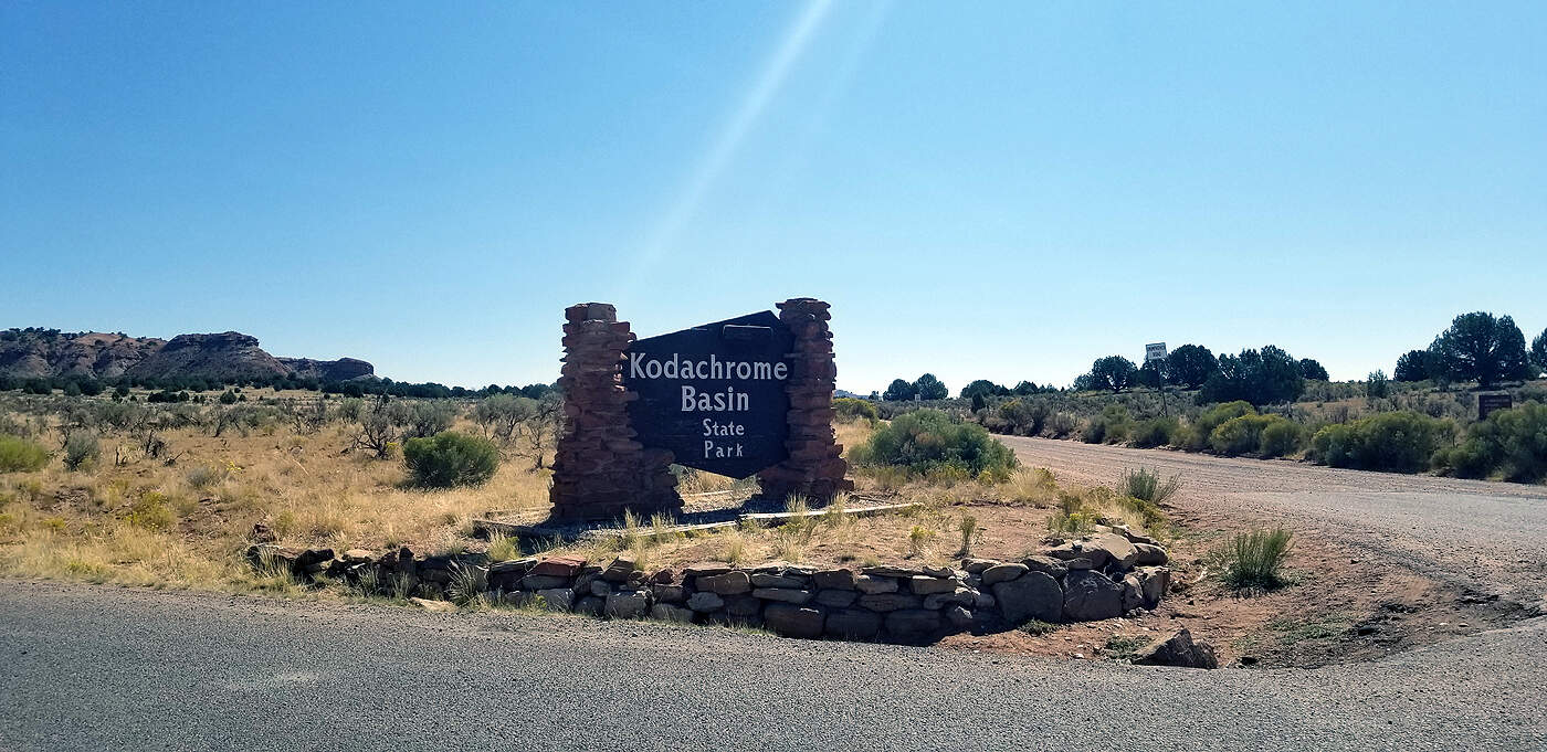
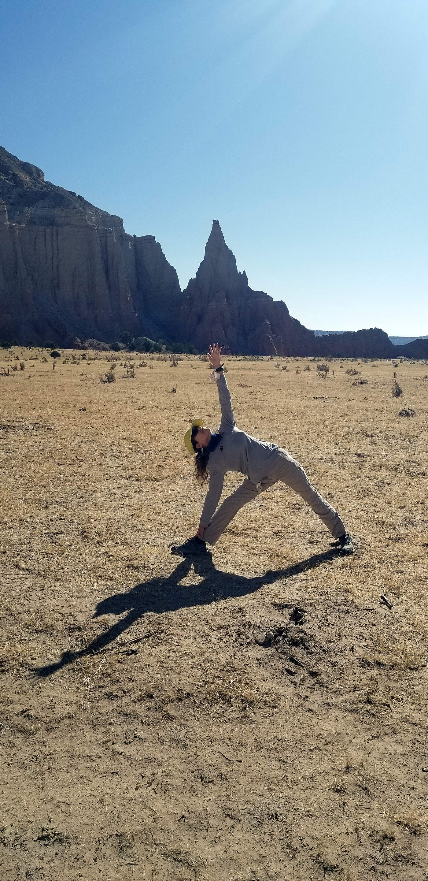
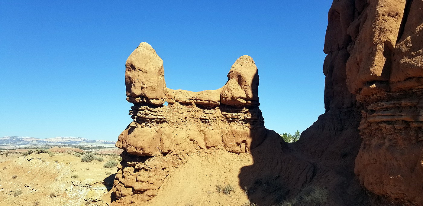
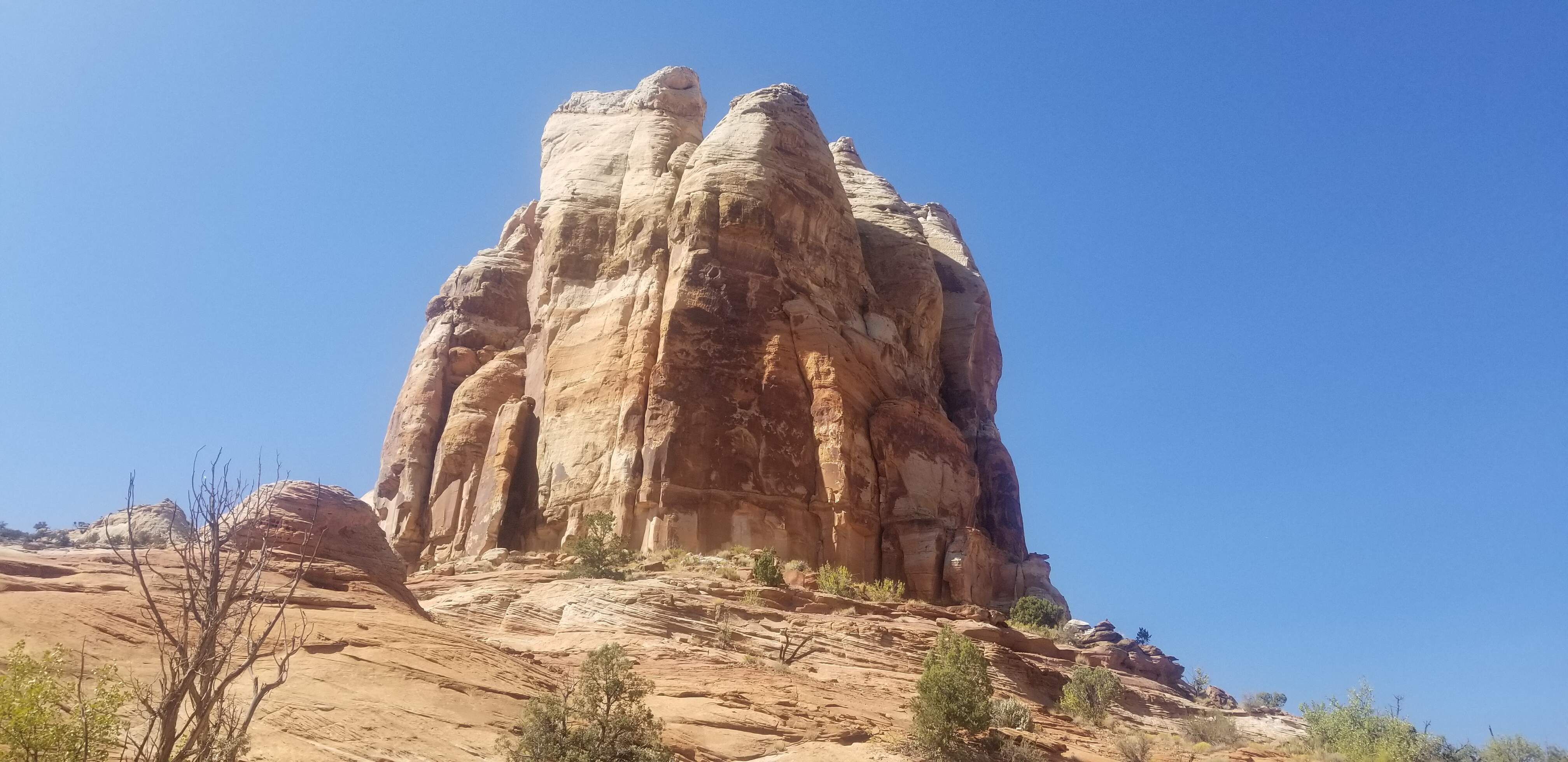
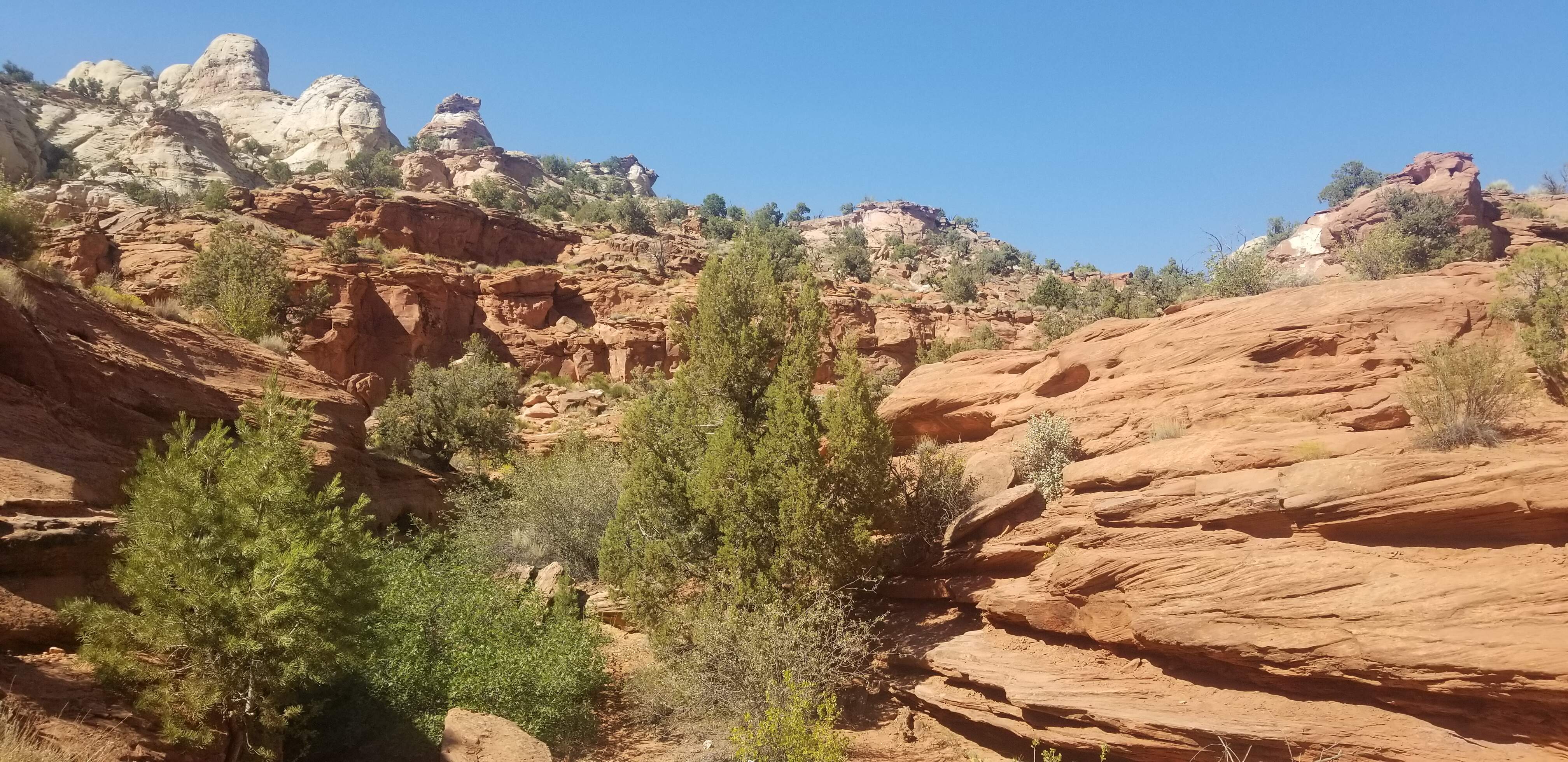
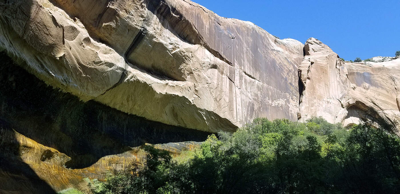
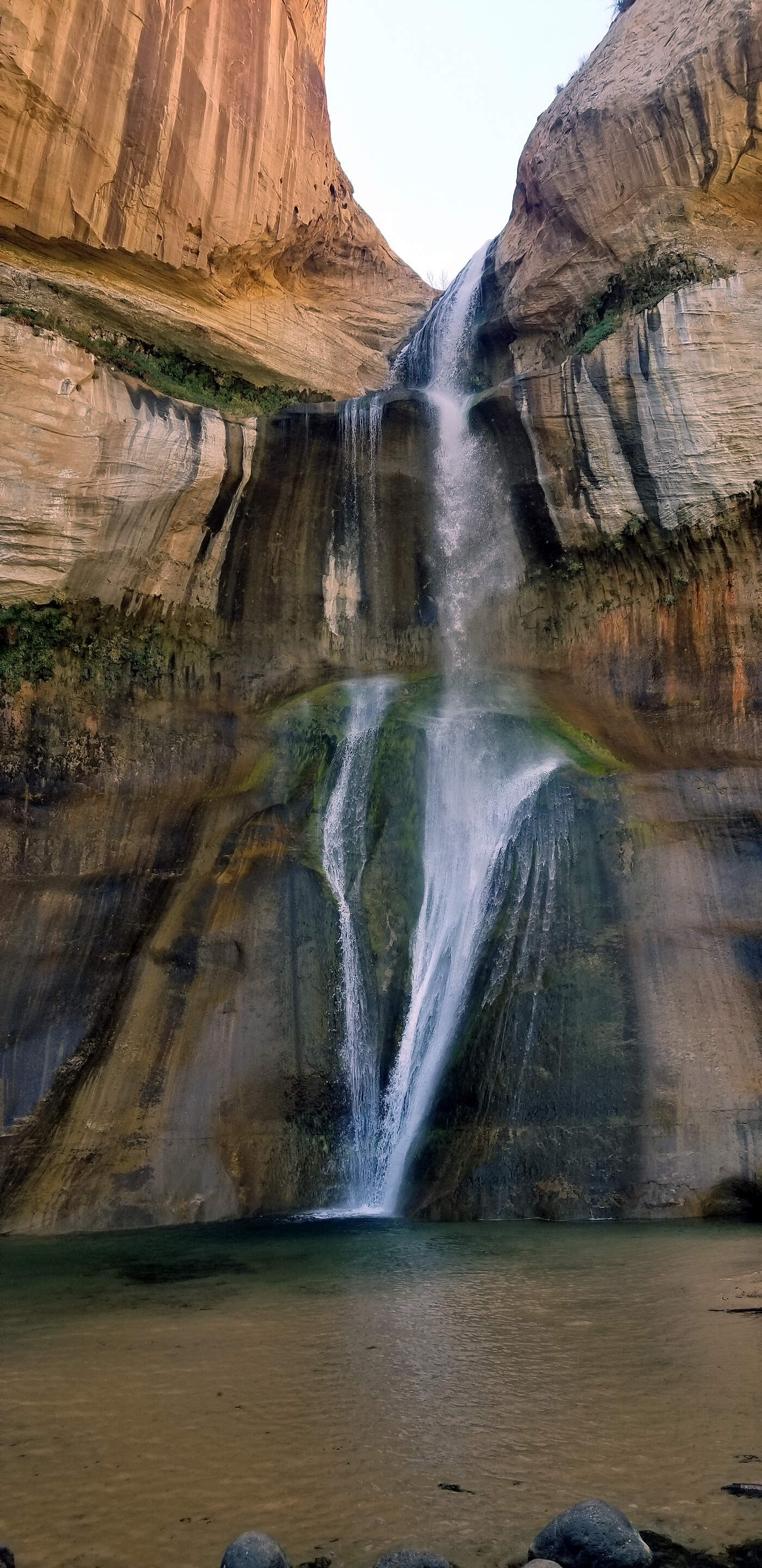
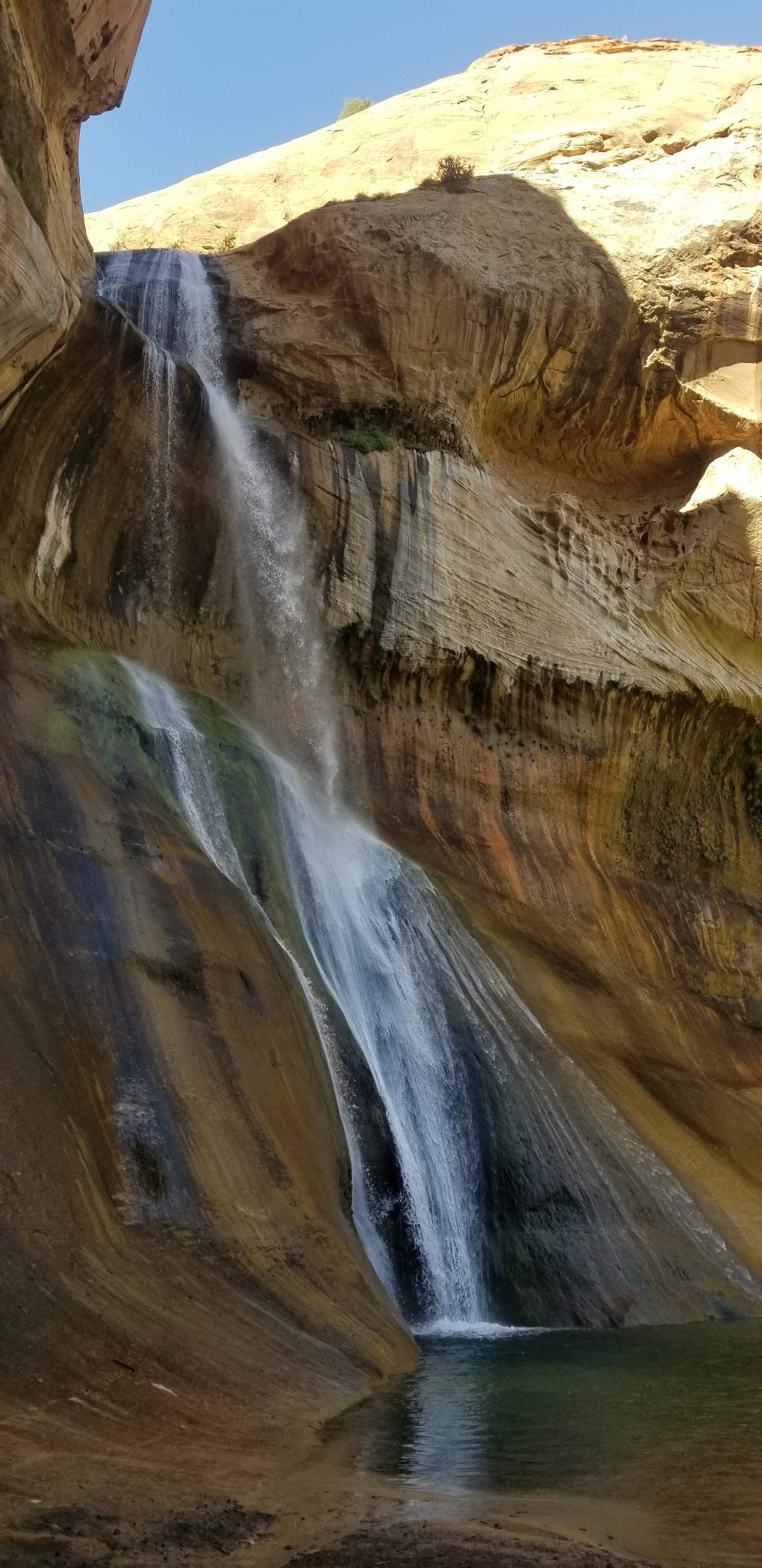
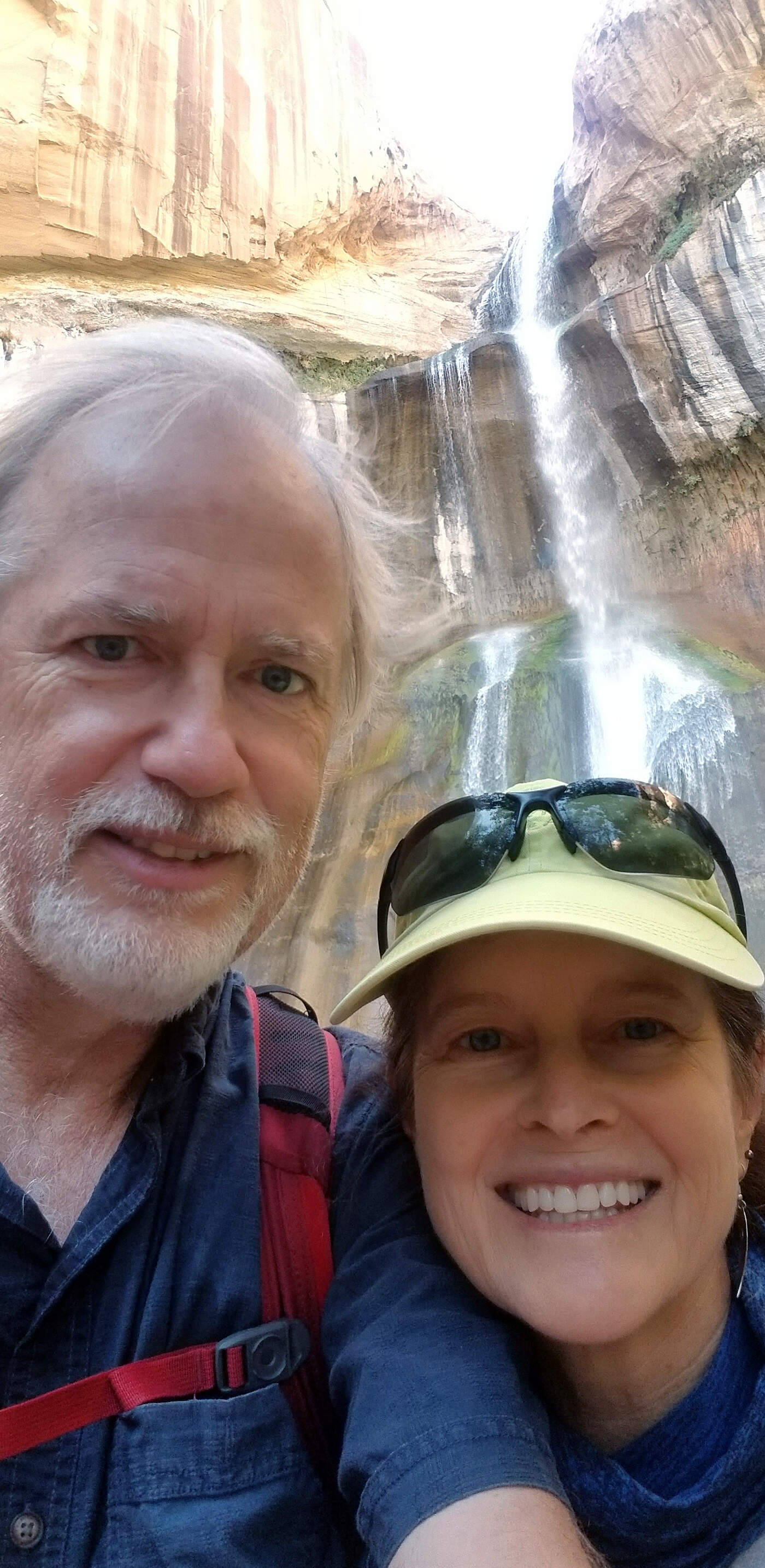
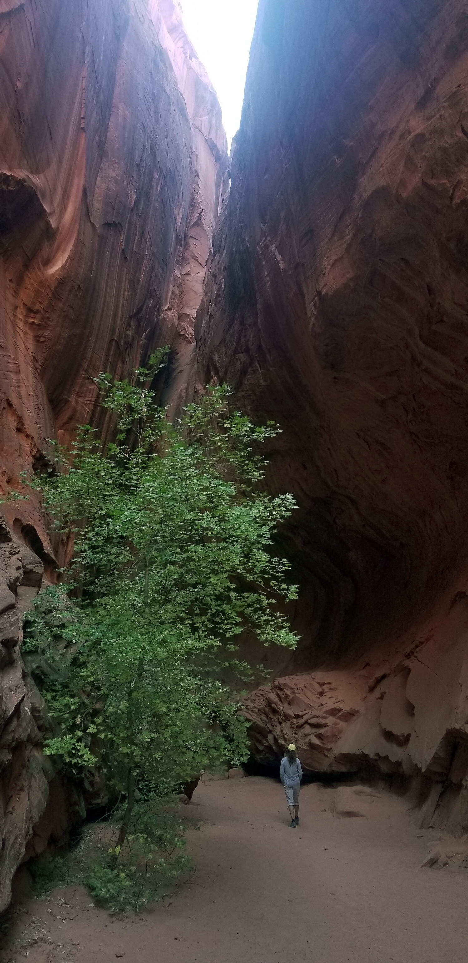
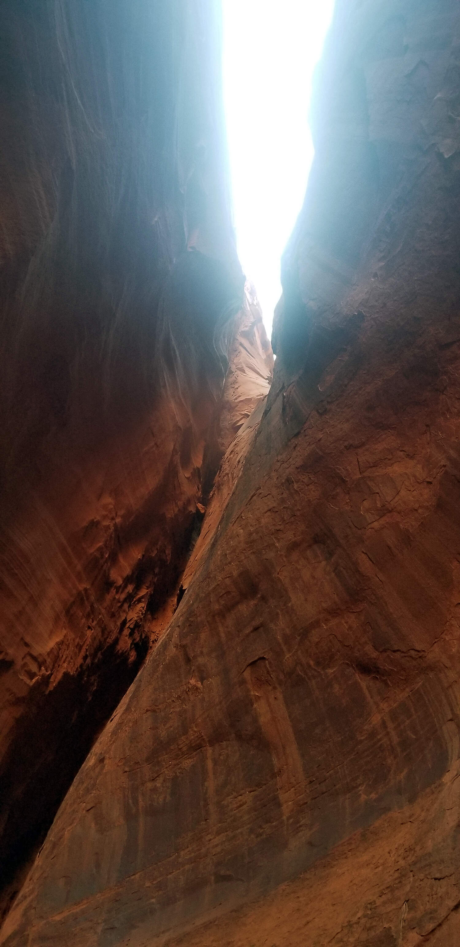
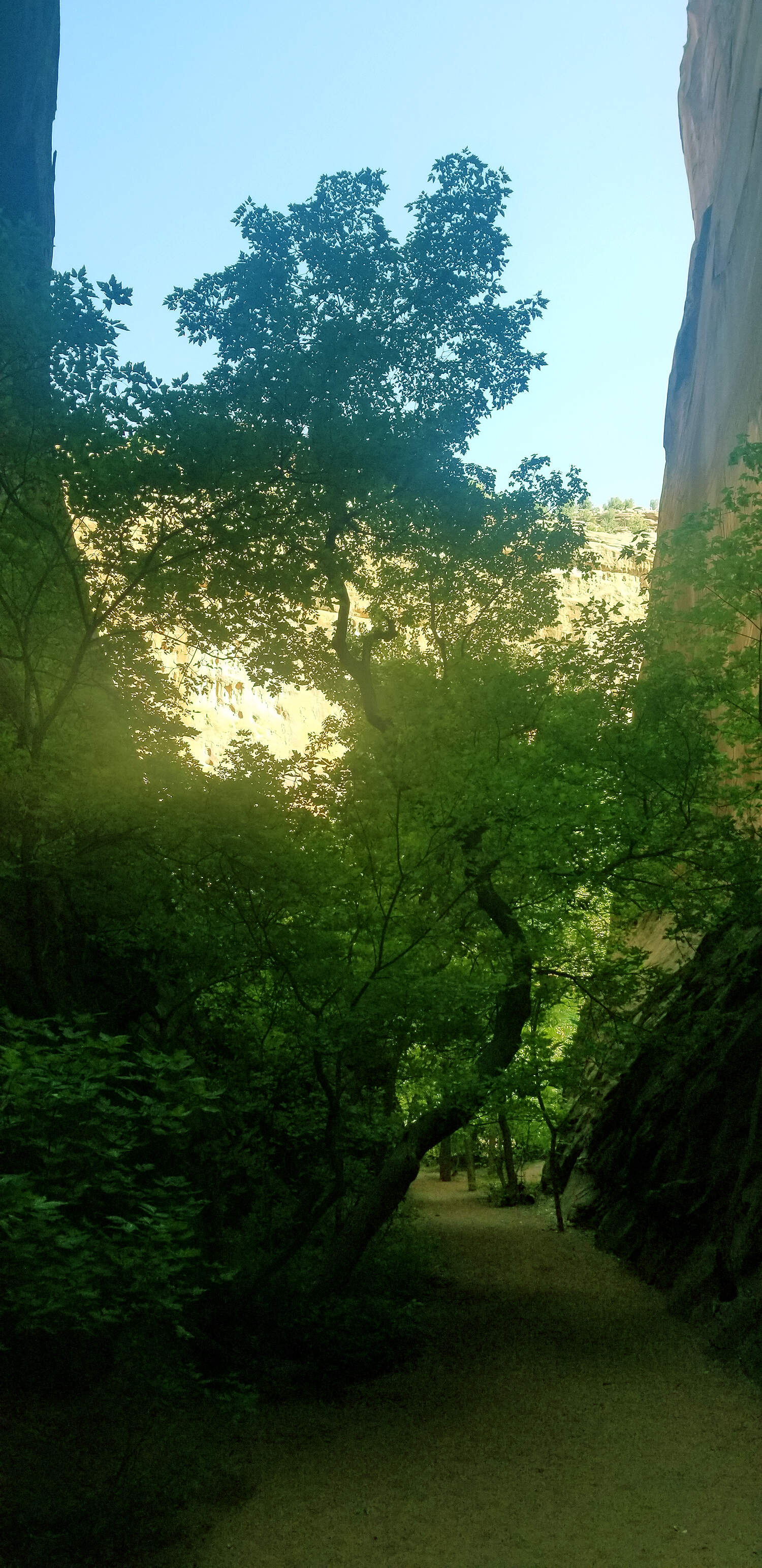
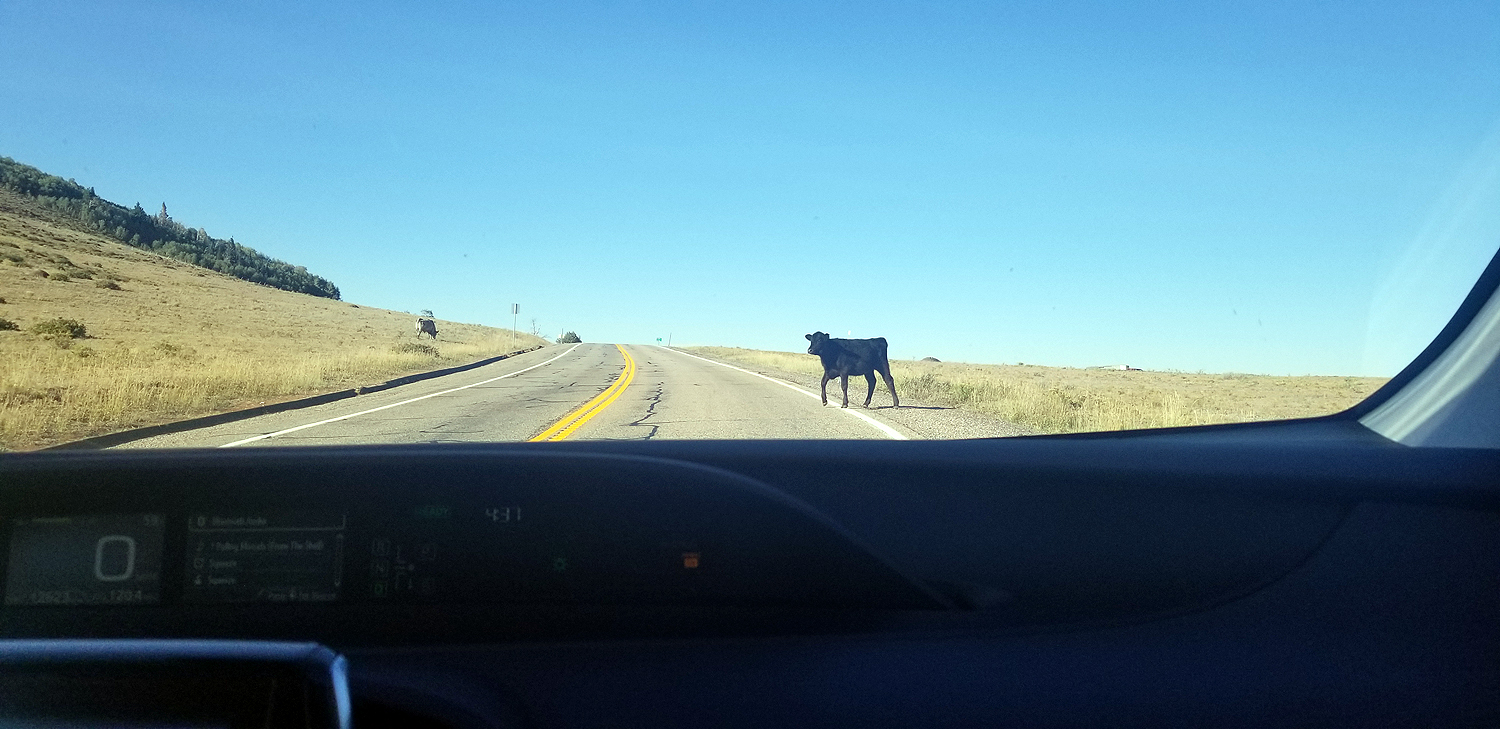
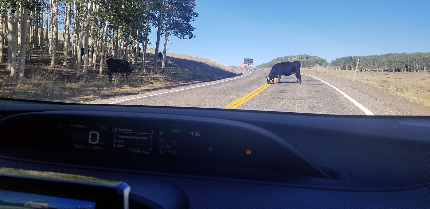
DAY 6: KODACHROME BASIN STATE PARK, GRAND STAIRCASE ESCALANTE NAT'L MONUMENT & CAPITOL REEF NAT'L PARK
Total hiking miles this day: ~ 10.2 miles
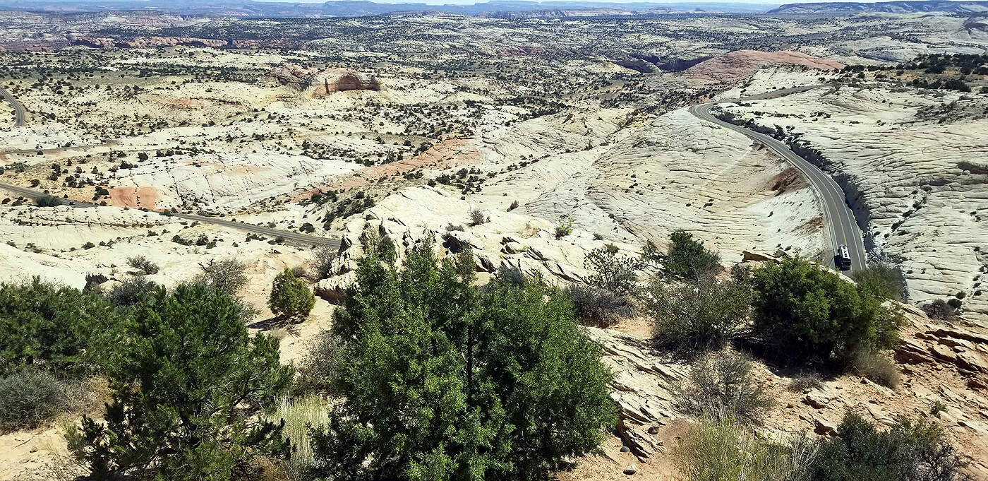
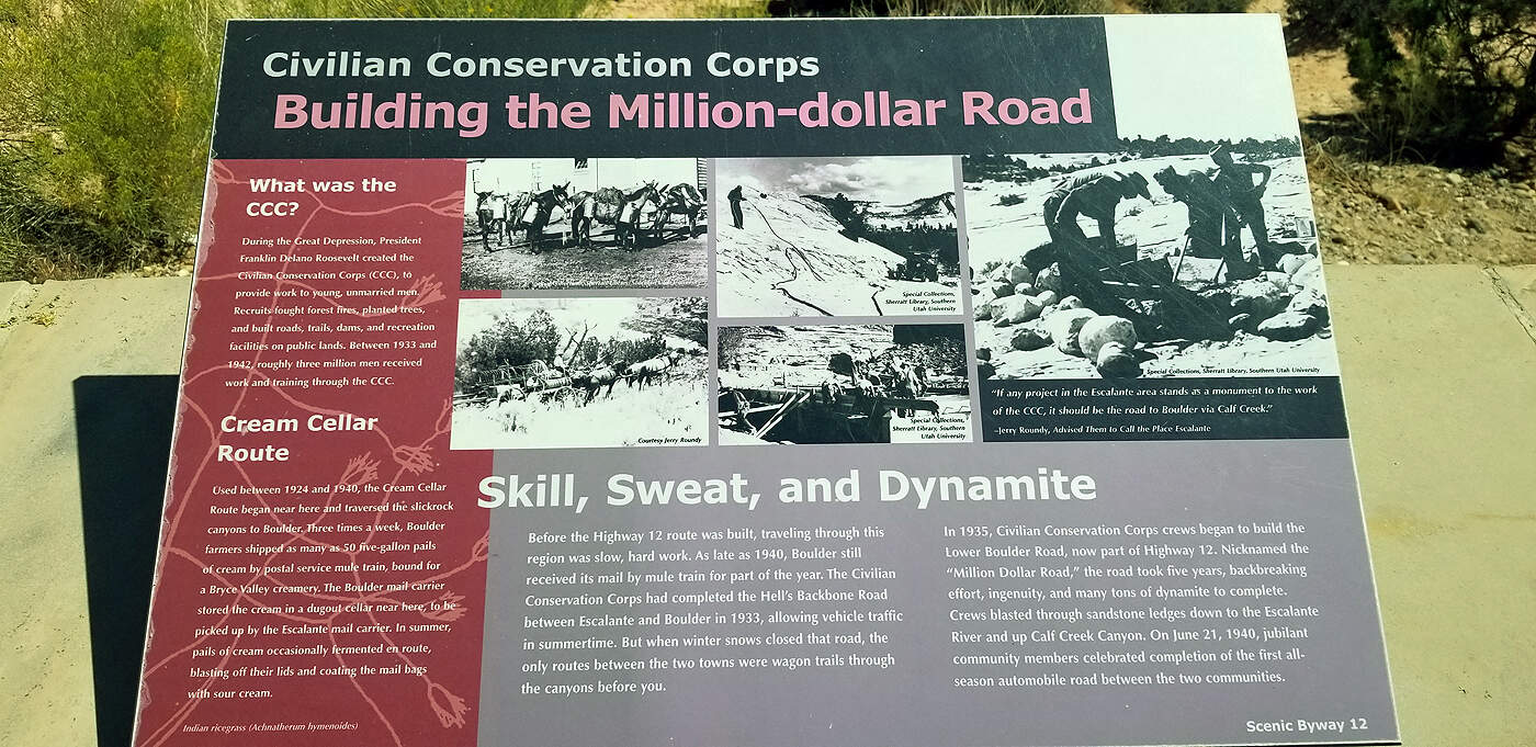
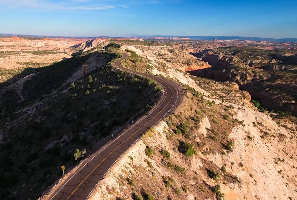
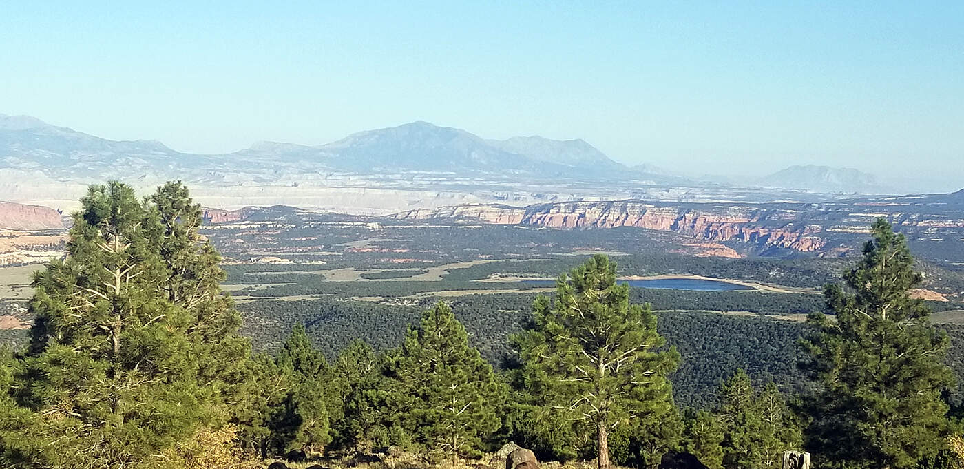
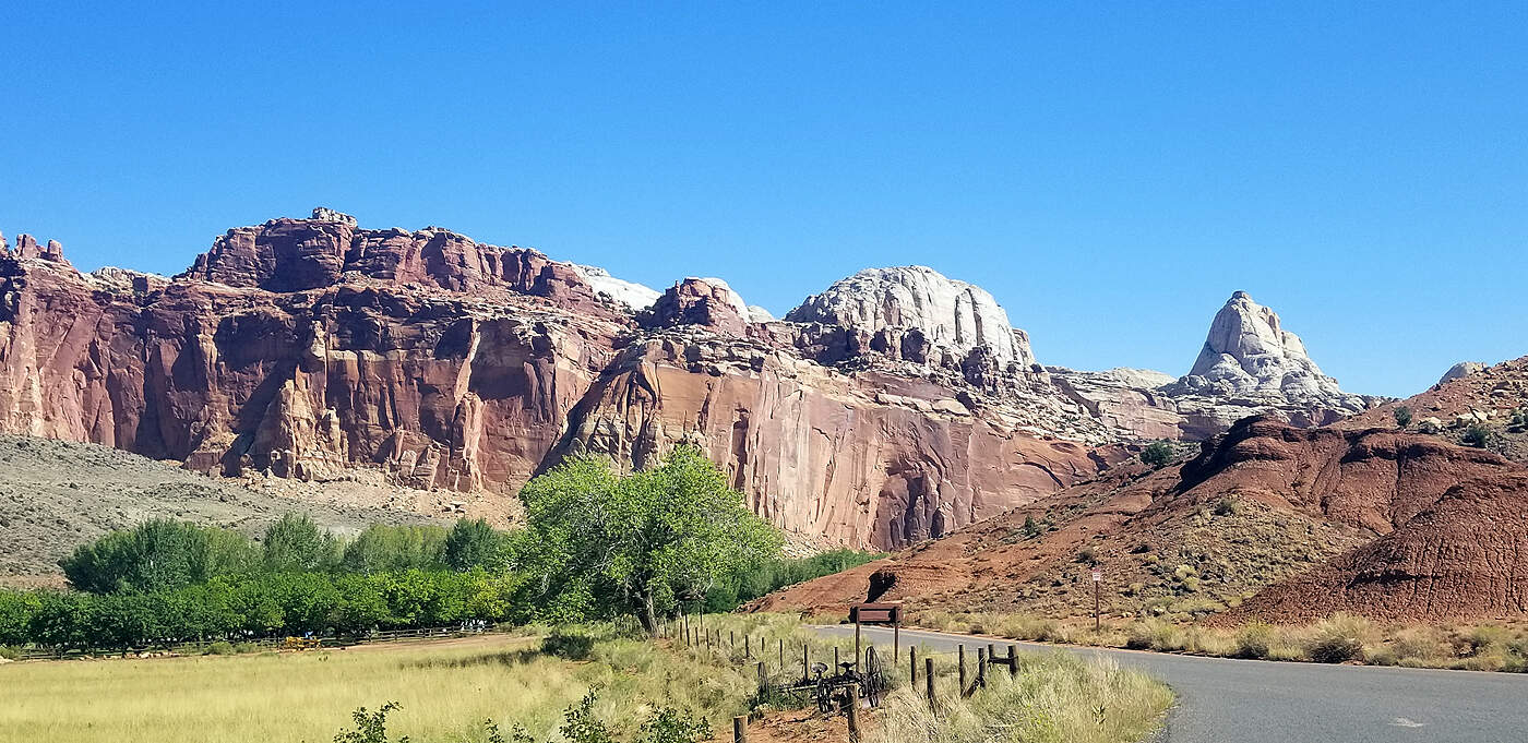
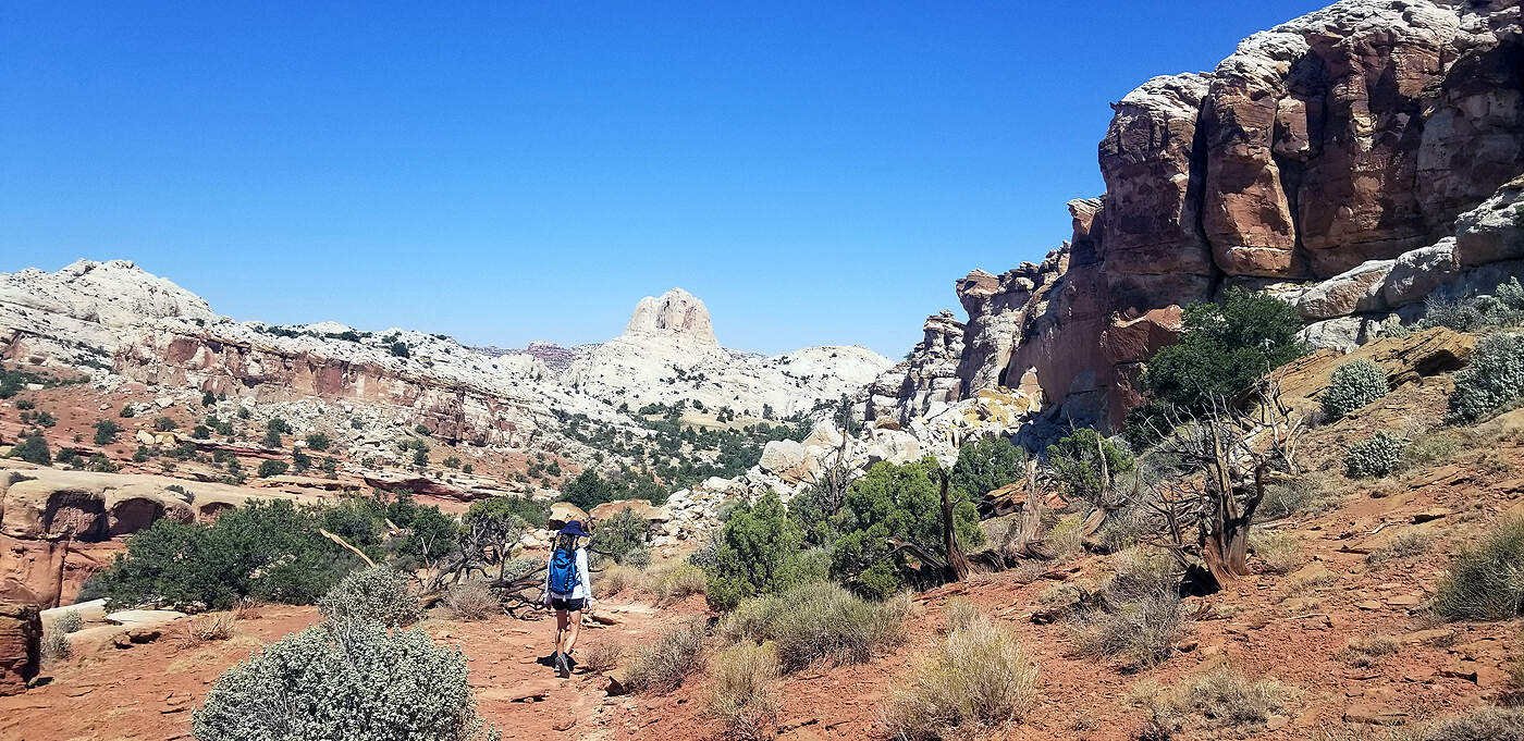
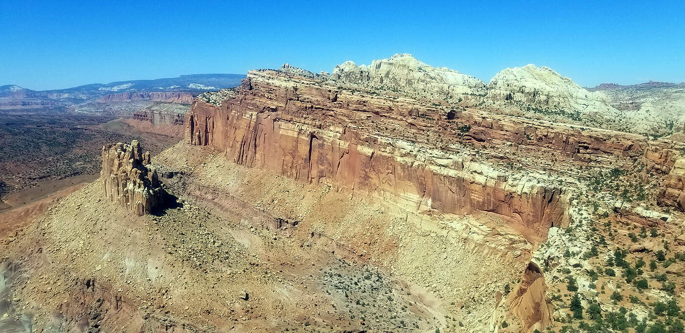
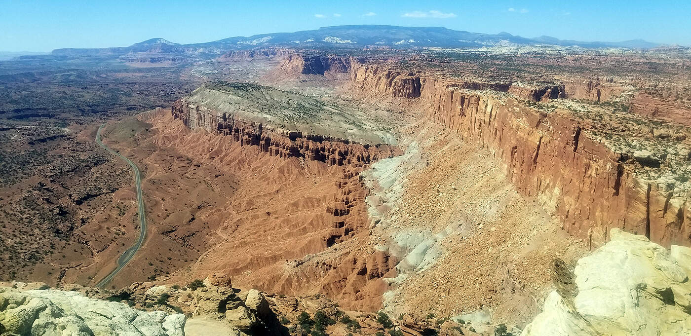
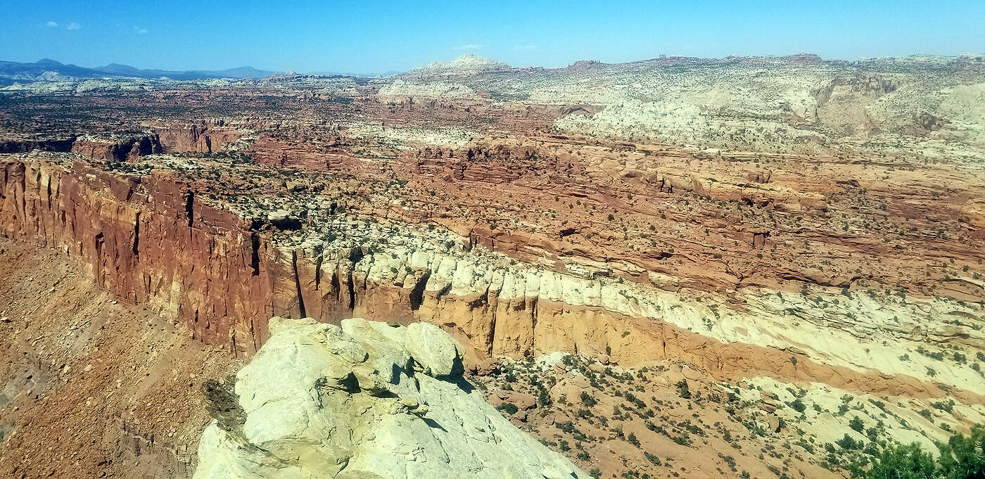
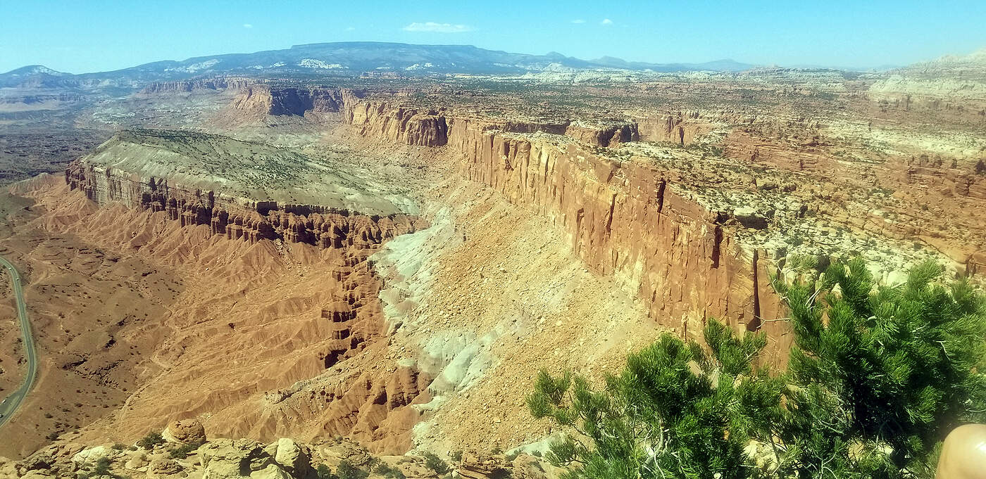
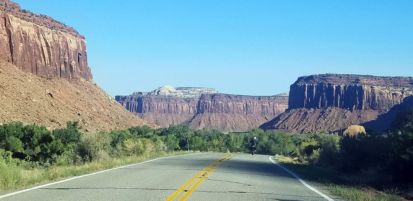
To break up the long drive to Arches National Park we stopped and hiked a couple miles at Kodachrome State Park, then a cool hike to a waterfall in Grand Staircase Escalante, drove the million dollar highway to Capitol Reef, then spent the night in Torrey, UT. Capitol Reef is really beautiful with amazing views of huge slabs of compressed rock have jutted upward at what seem to be parallel angles from seismic activity over millions of years.
KODACHROME BASIN STATE PARK
Utah's scenic highway 12, was a back-breaking monumental task to build and cost approximately a million dollars in 1935 to 1940. This section of Highway 12 today is often referred to as 'The Hogback'. Picture number three below is courtesy of seniorcitizentravel.com.
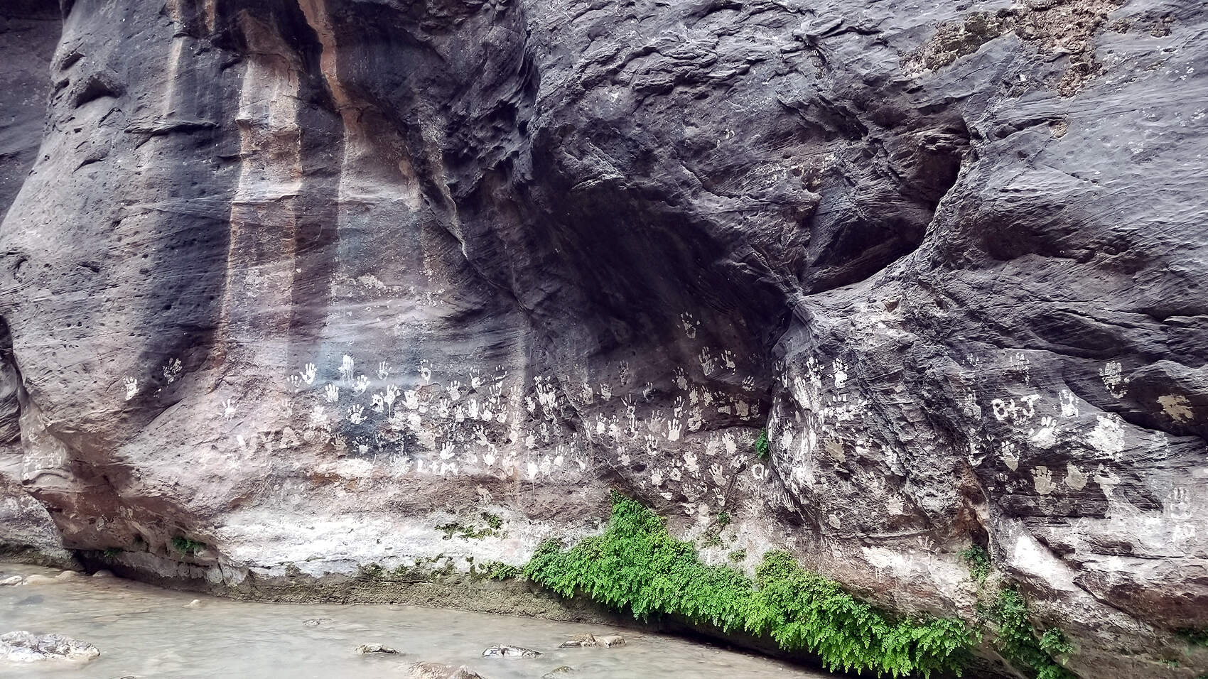
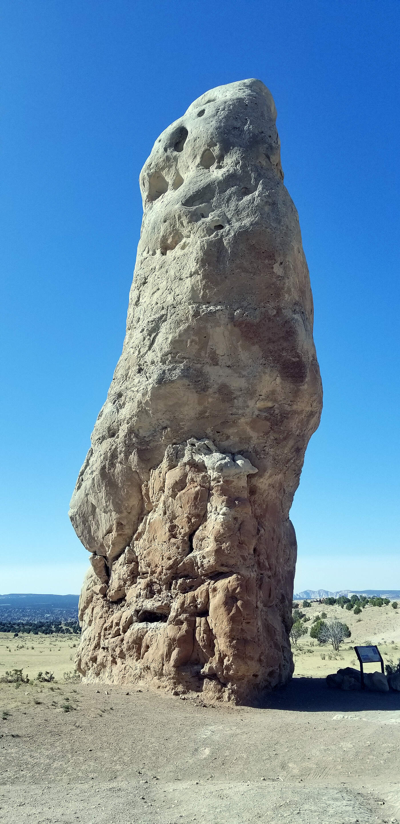
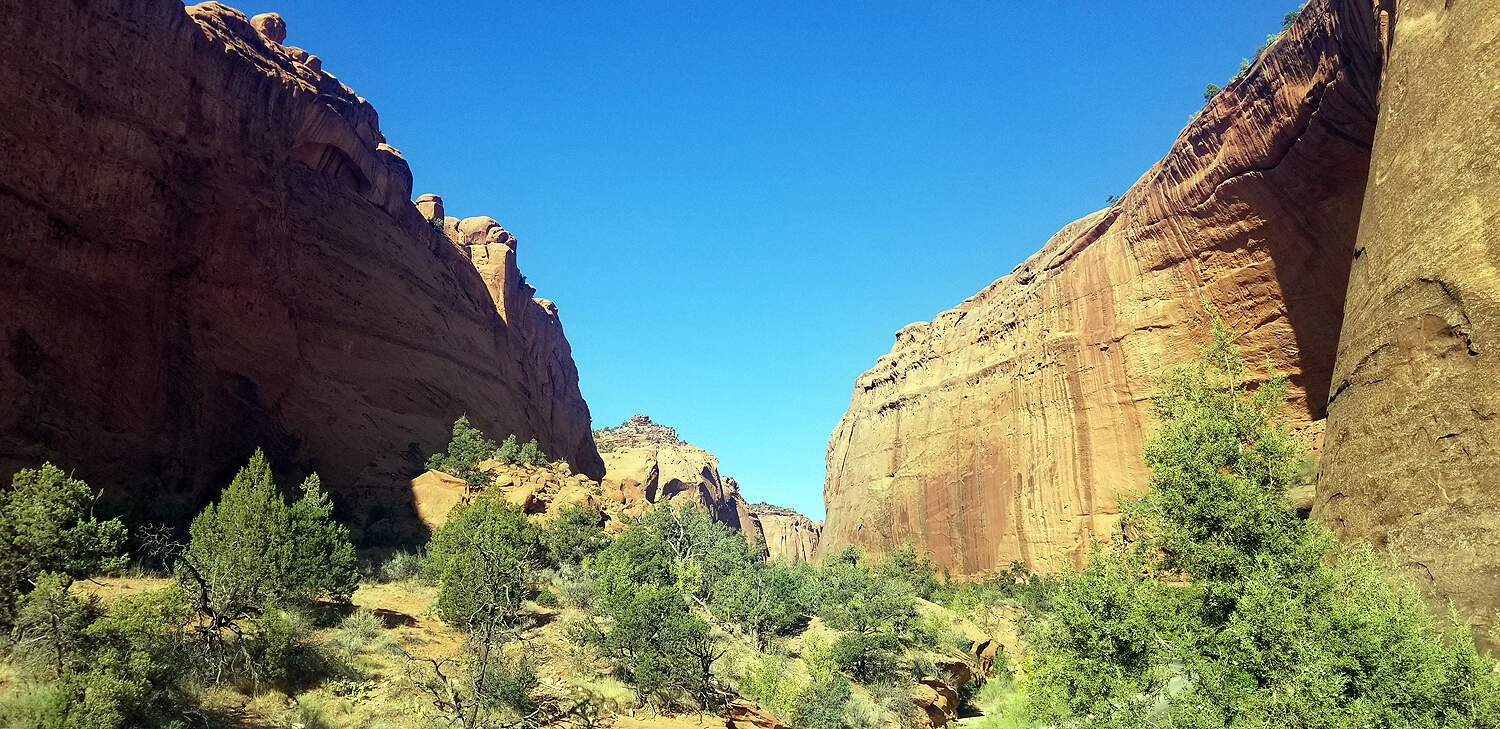
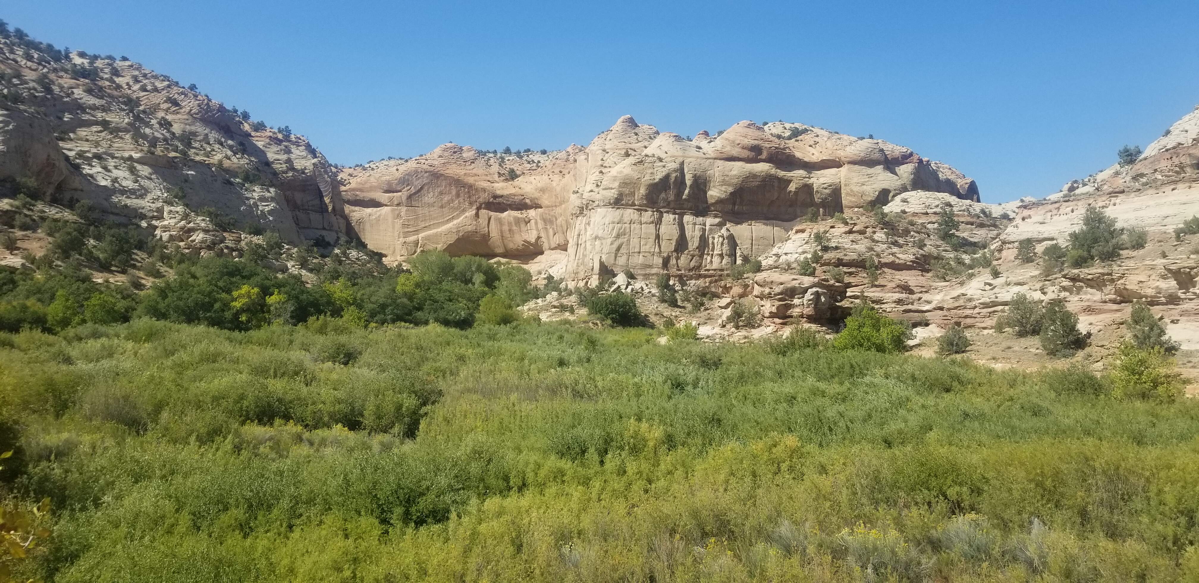
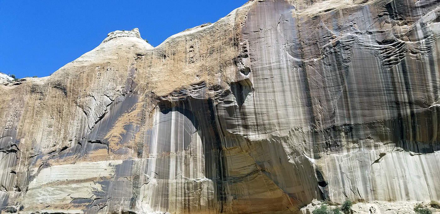
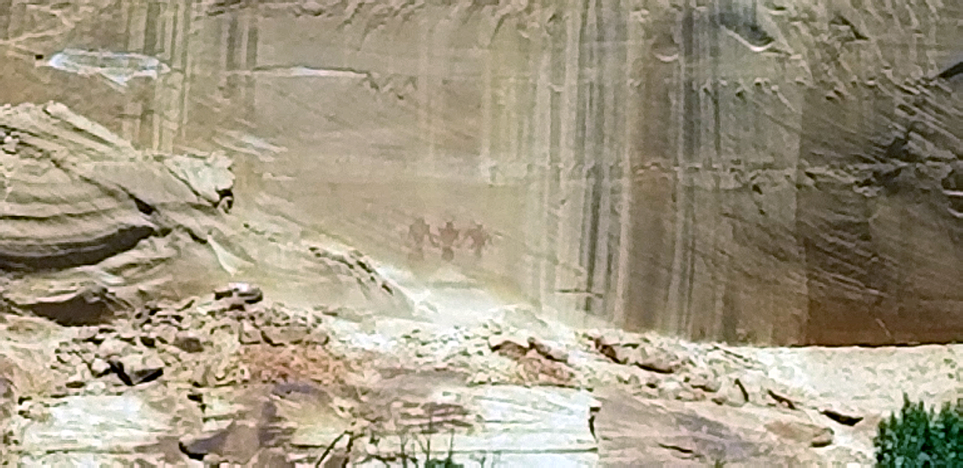
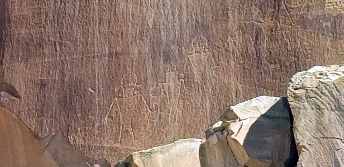
GRAND STAIRCASE ESCALANTE NATIONAL MONUMENT
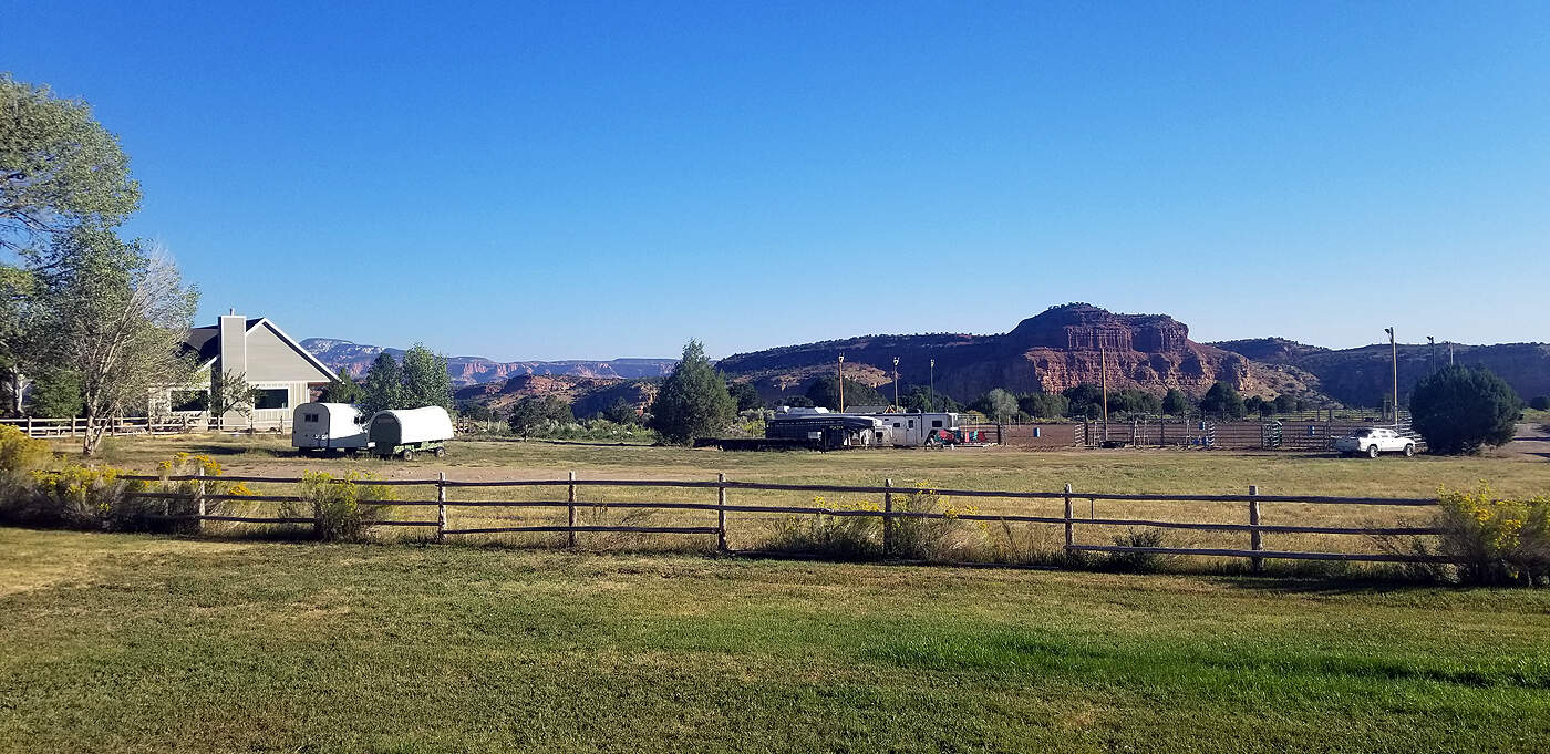
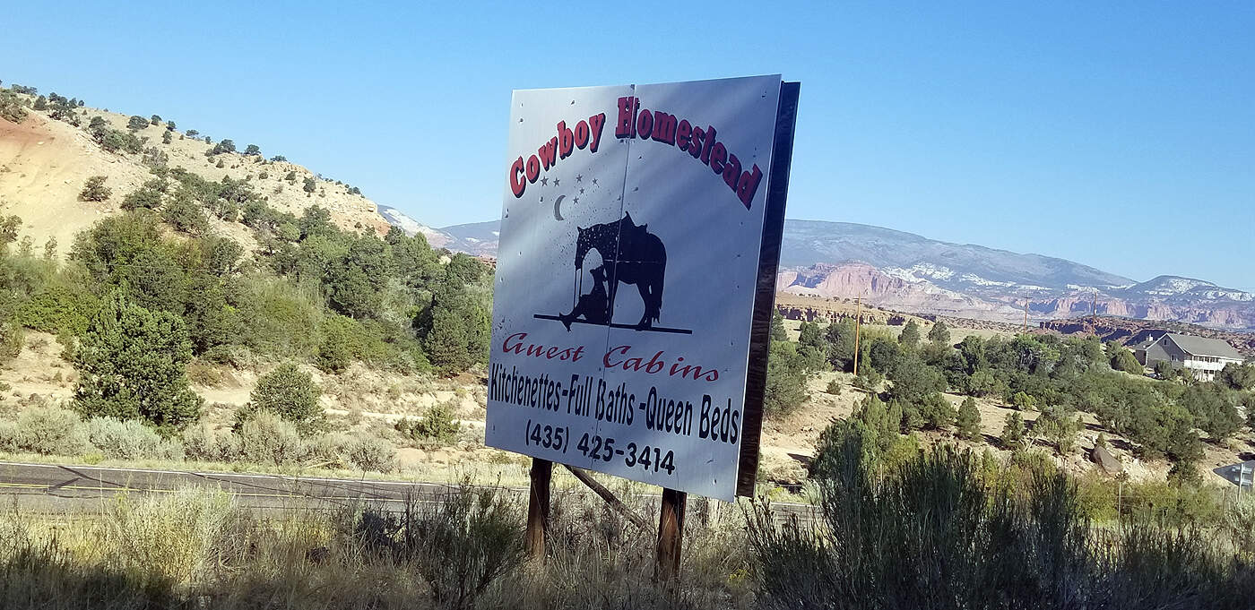
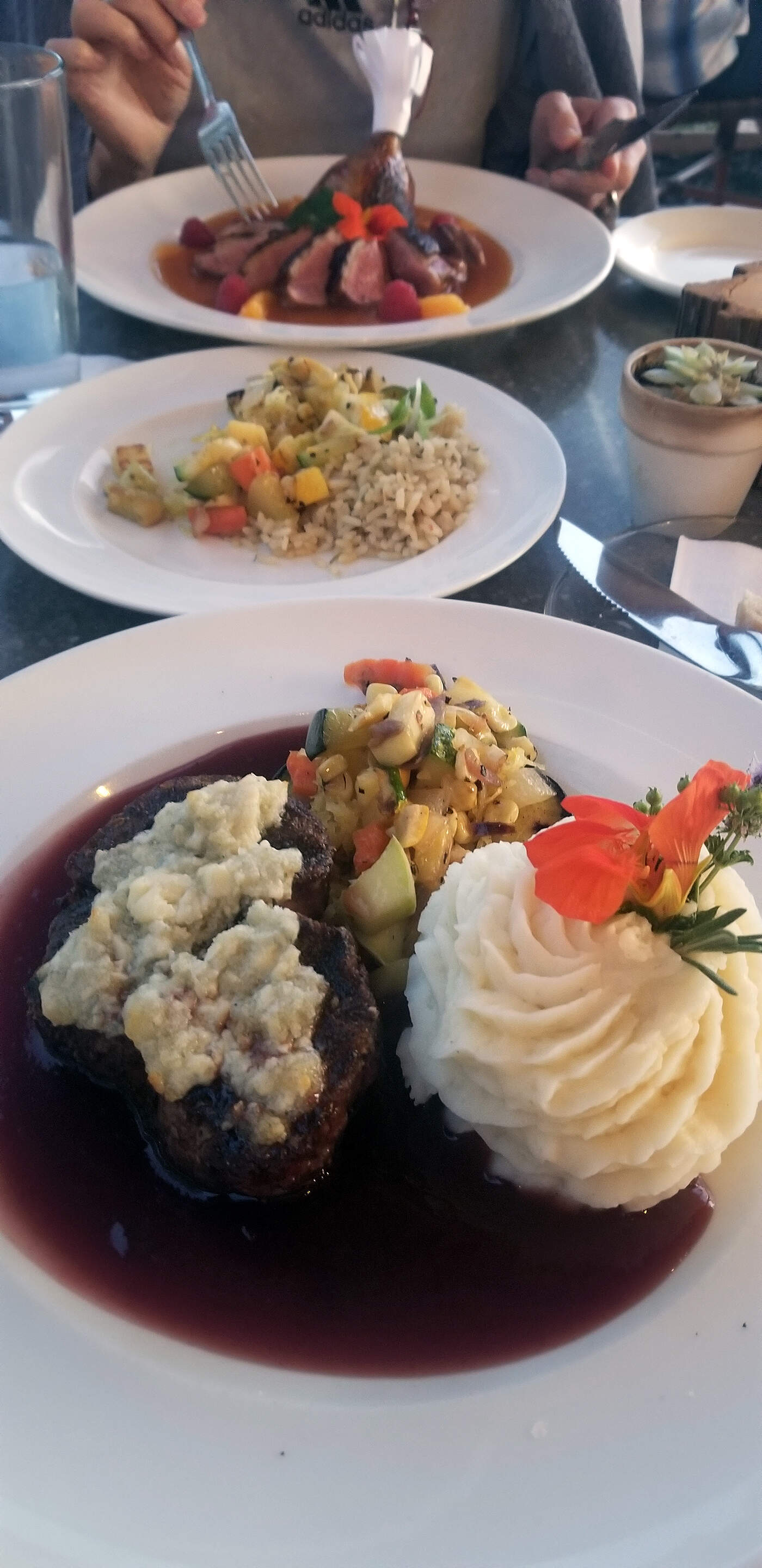
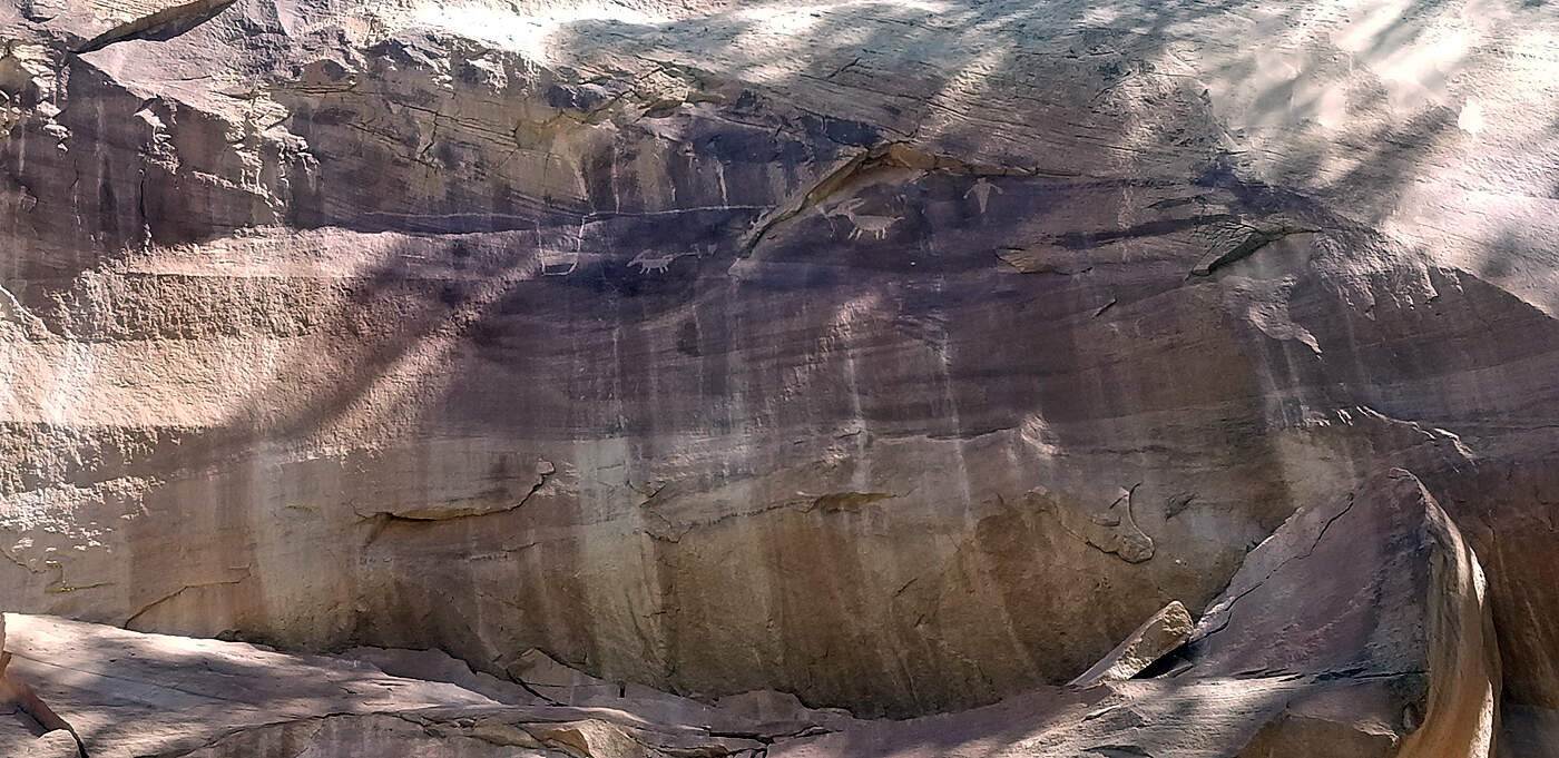
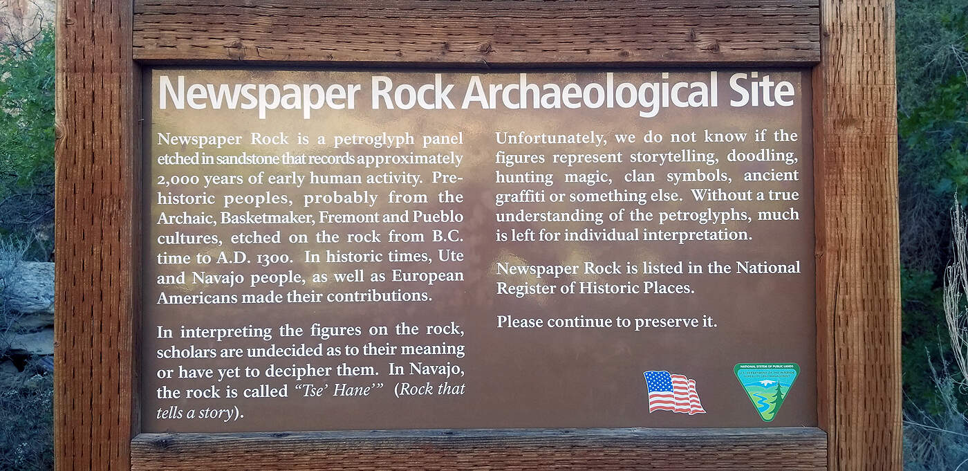
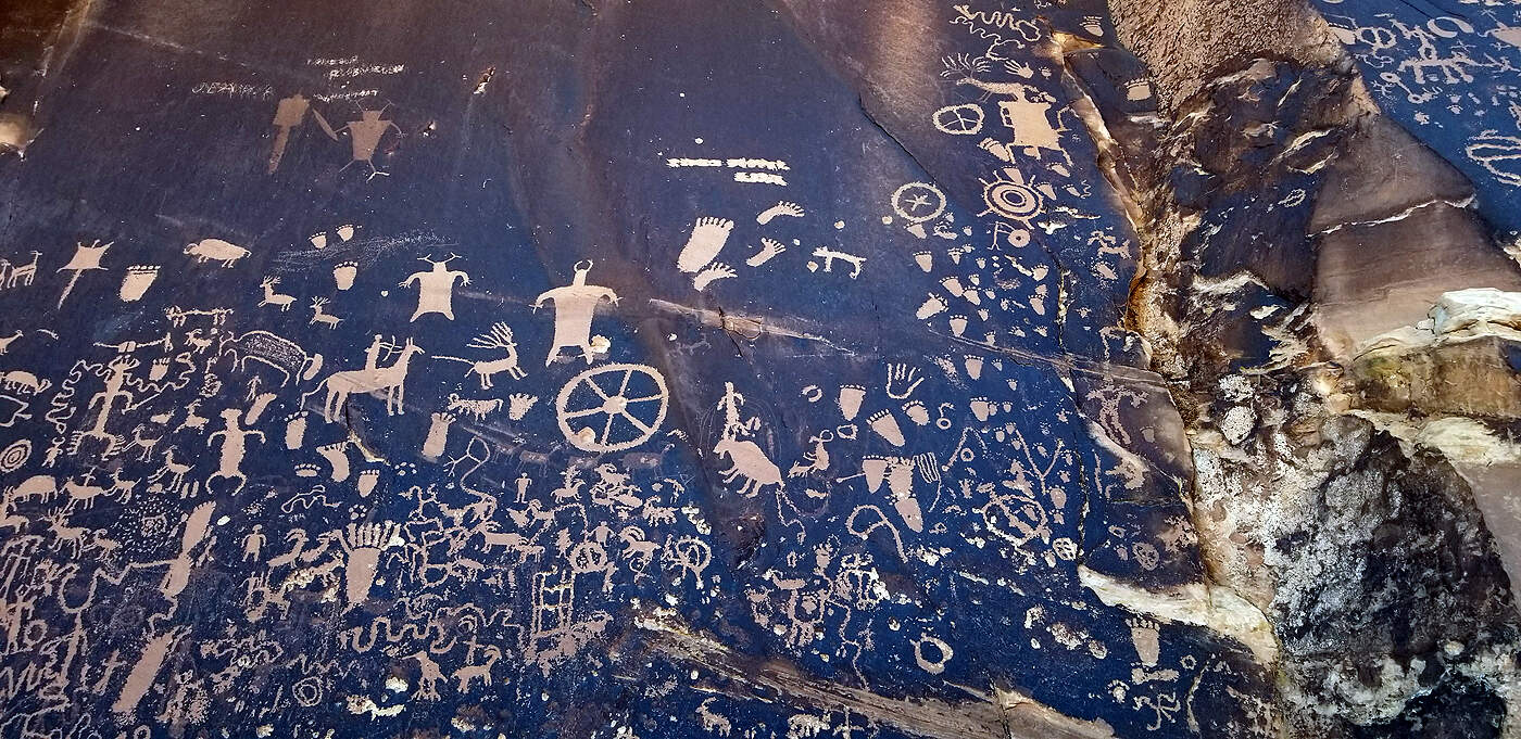
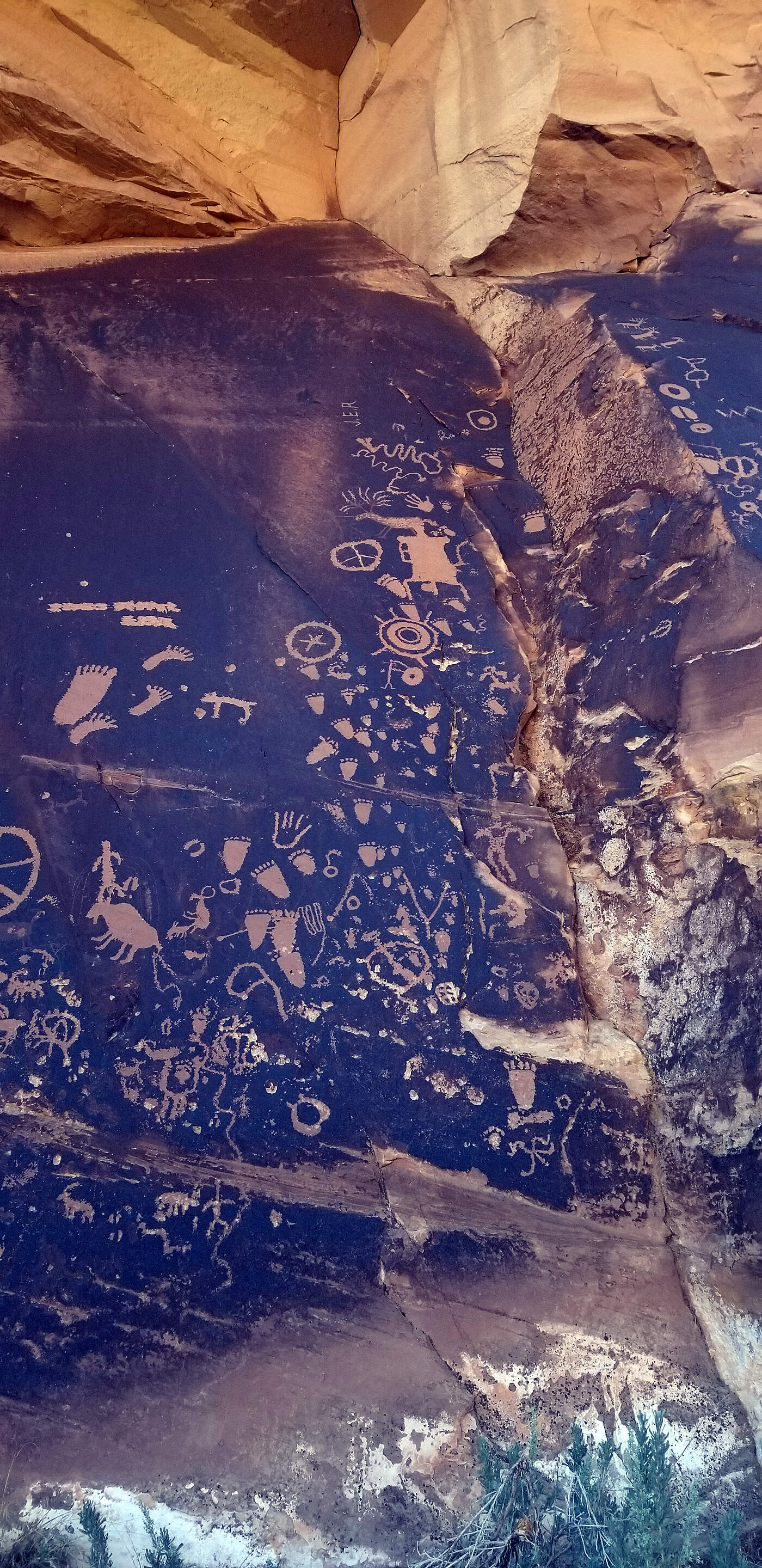
Look close, on the sheer rock faces there are petroglyphs. At the end of the day we stayed just outside the small town of Torrey. On the way there we came across a herd of cows crossing the road and one cow wouldn't stop licking the center divide, lol. The rancher eventually arrived on his ATV and herded the cow along. It was way cute. Our accommodations that date were at a family ranch that had immaculately clean cabins. We arrived on the day they were having a family portrait and celebrating a family rodeo. It was a really heartwarming scene of about twenty something people/kids all dressed in their finest blue jeans and western dresses. That evening they had a bond fire with family sitting around, some roping cows in the corral, it was quite a party to watch. The highlight was this awesome restaurant where we had the best meal of the trip!.
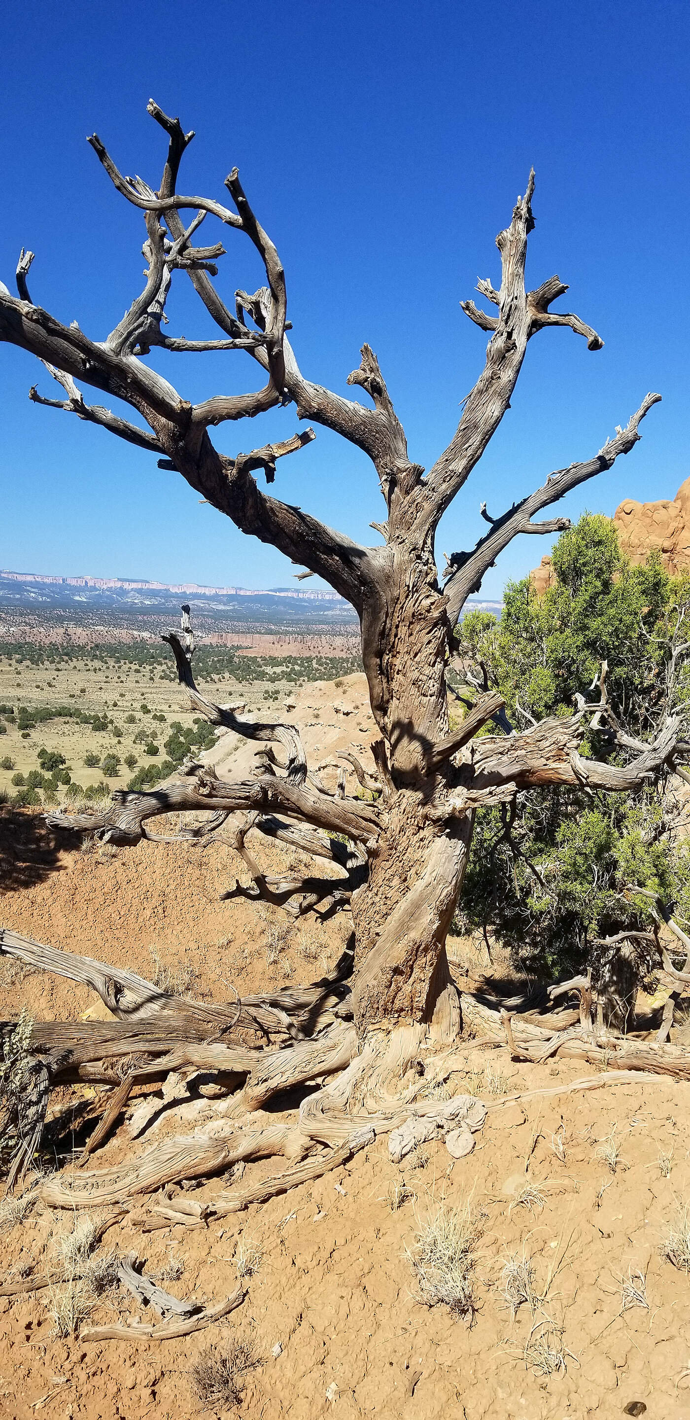
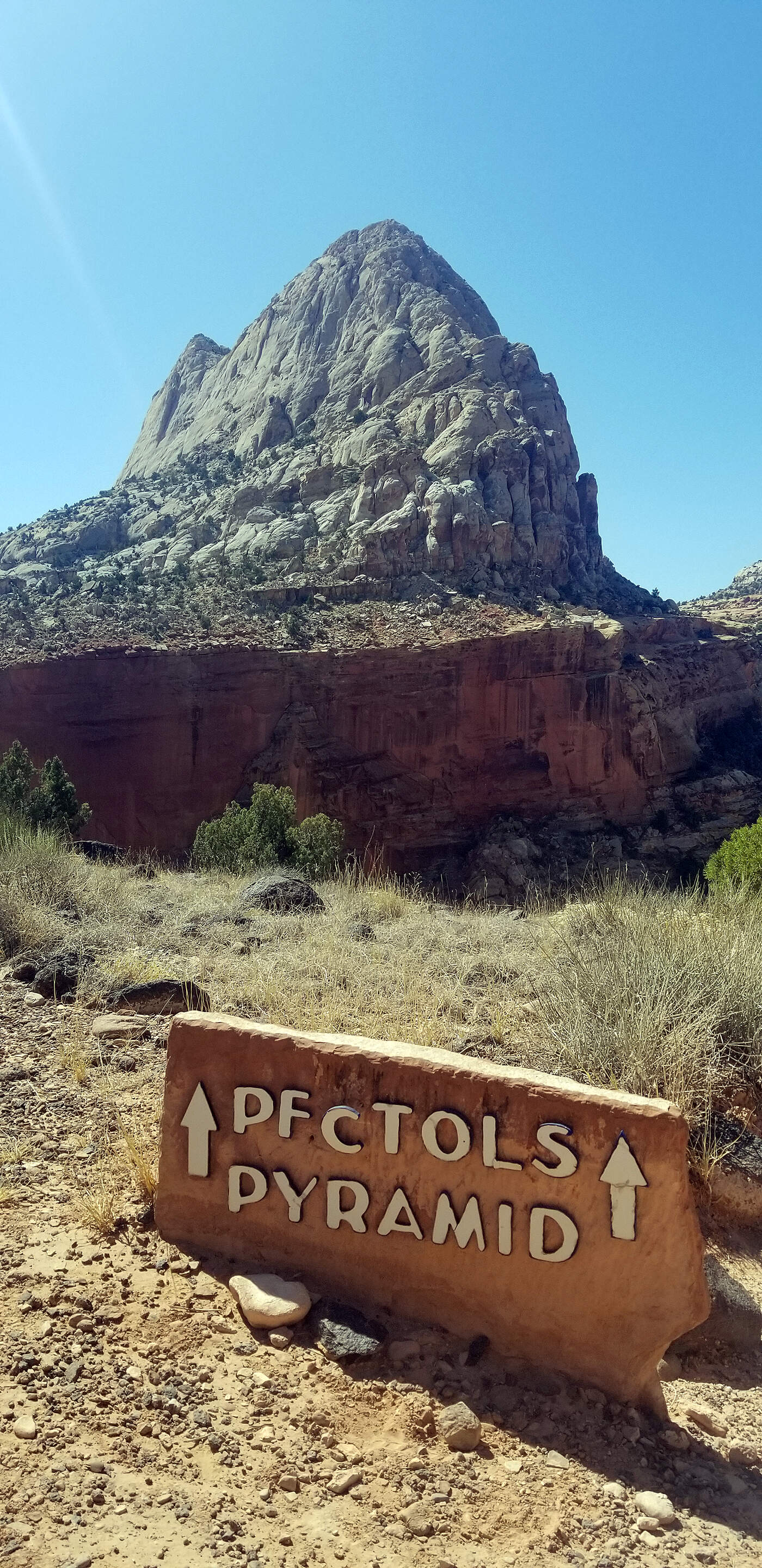
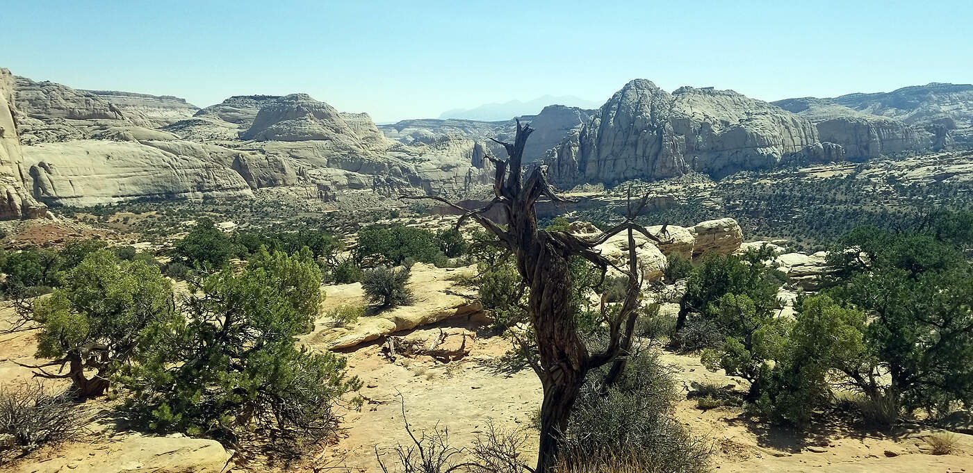
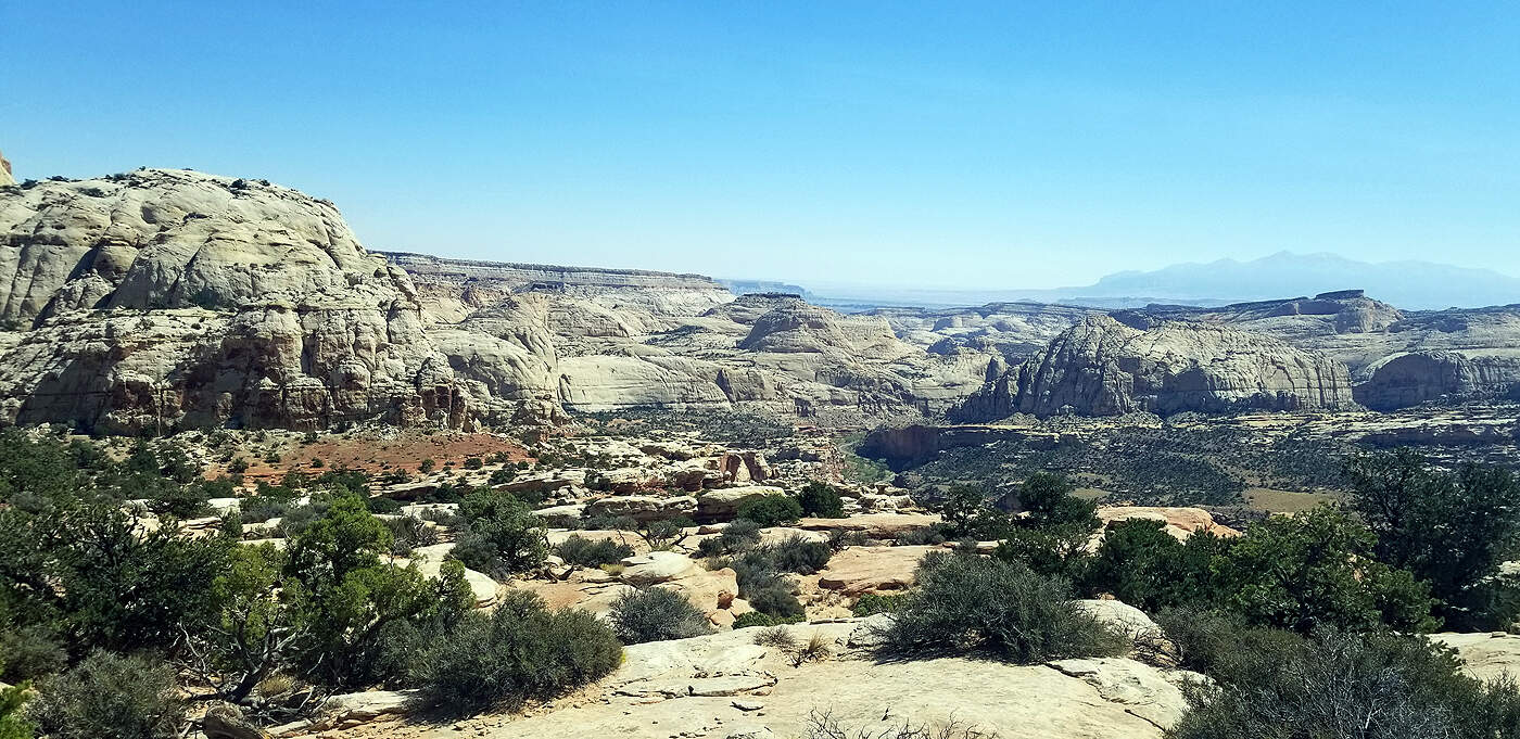
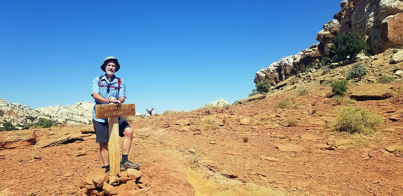
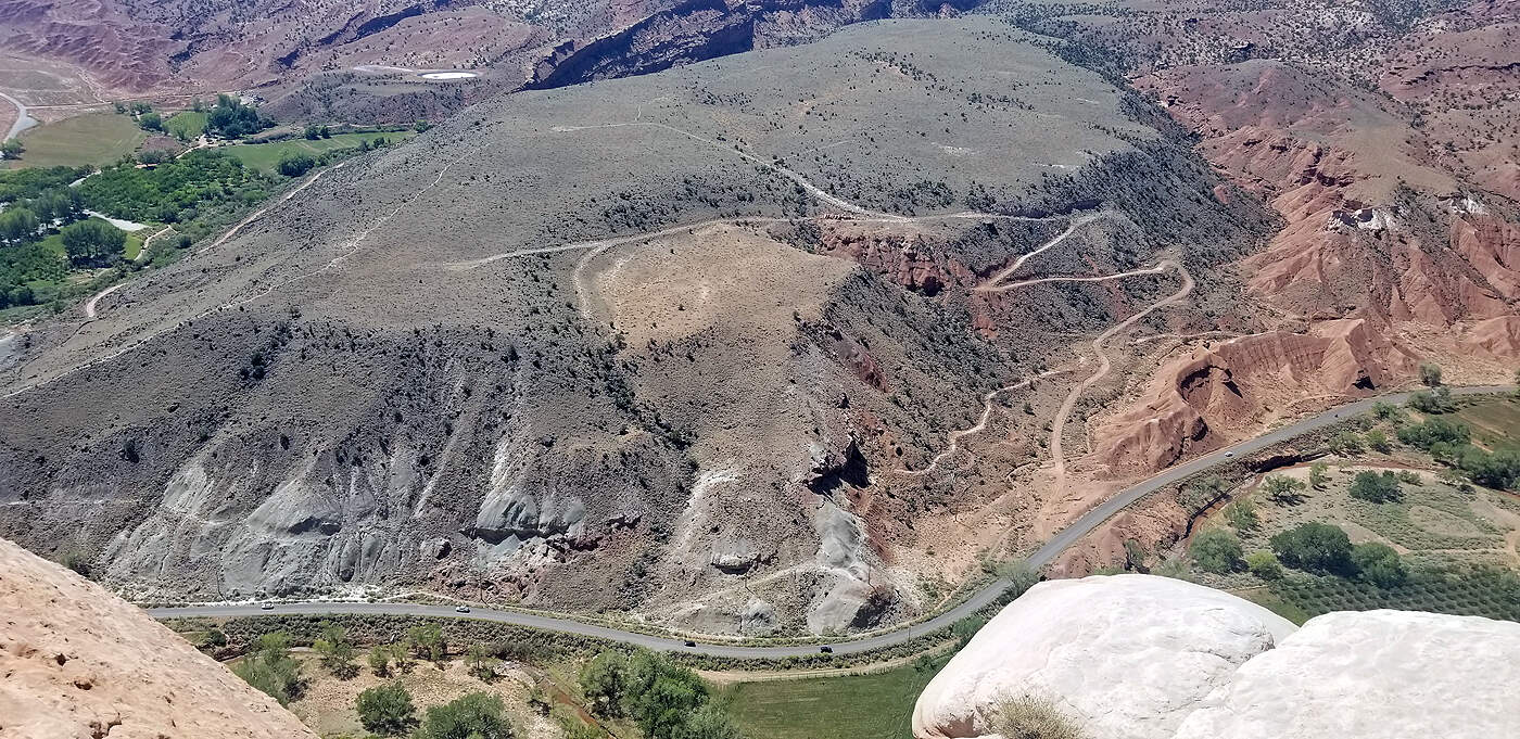
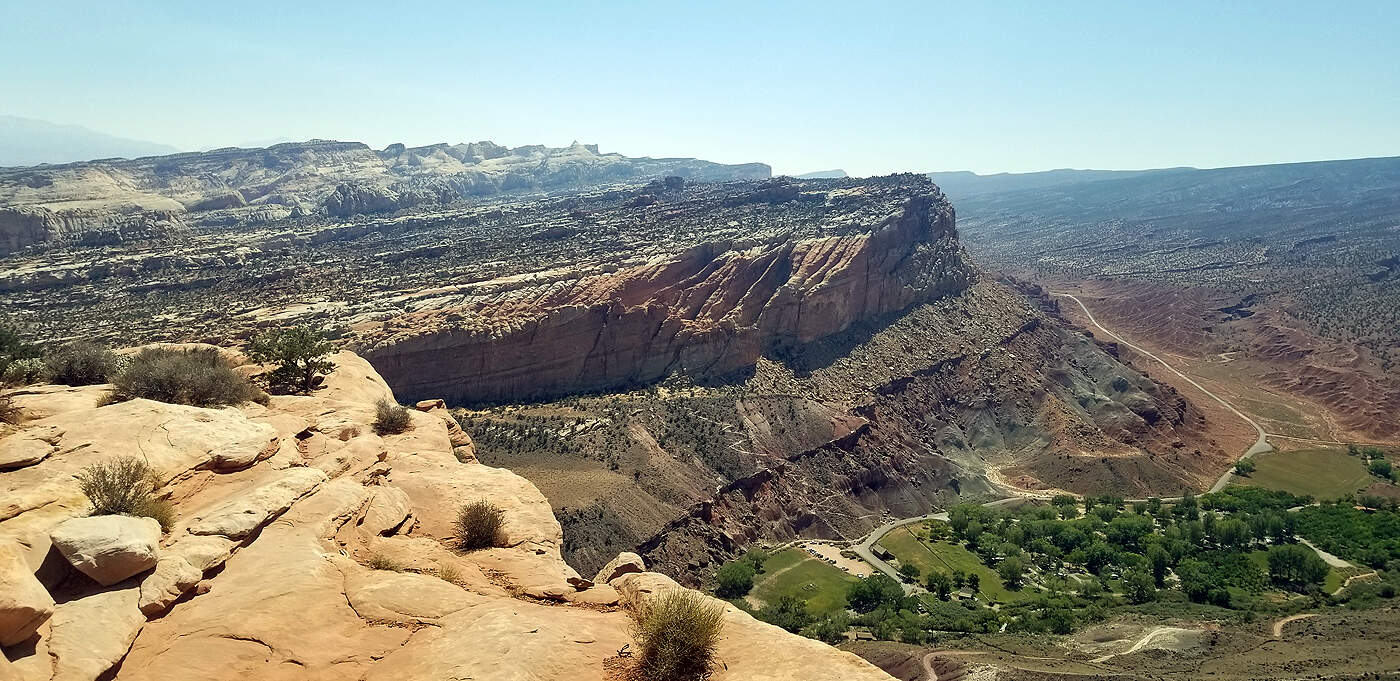
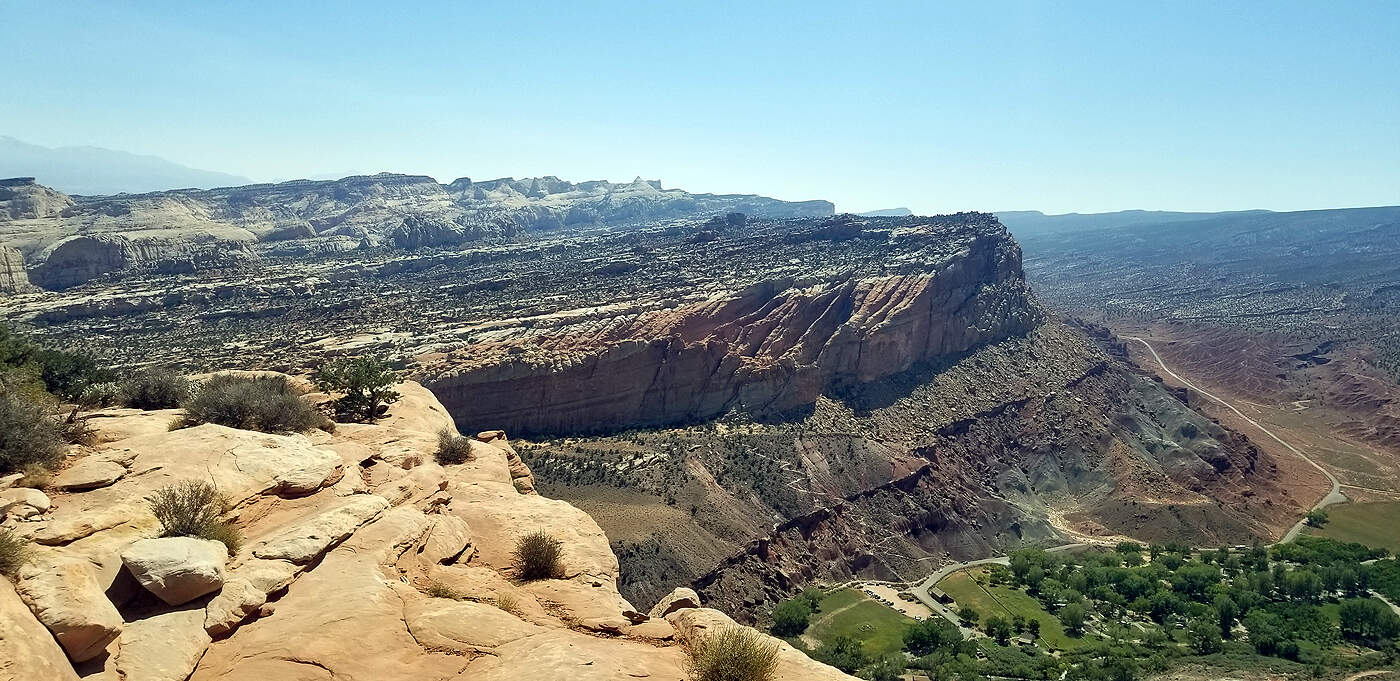
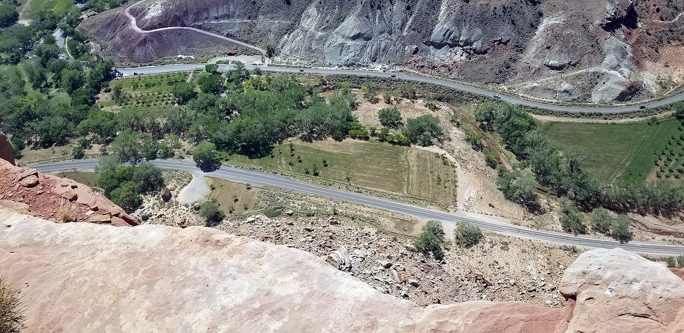
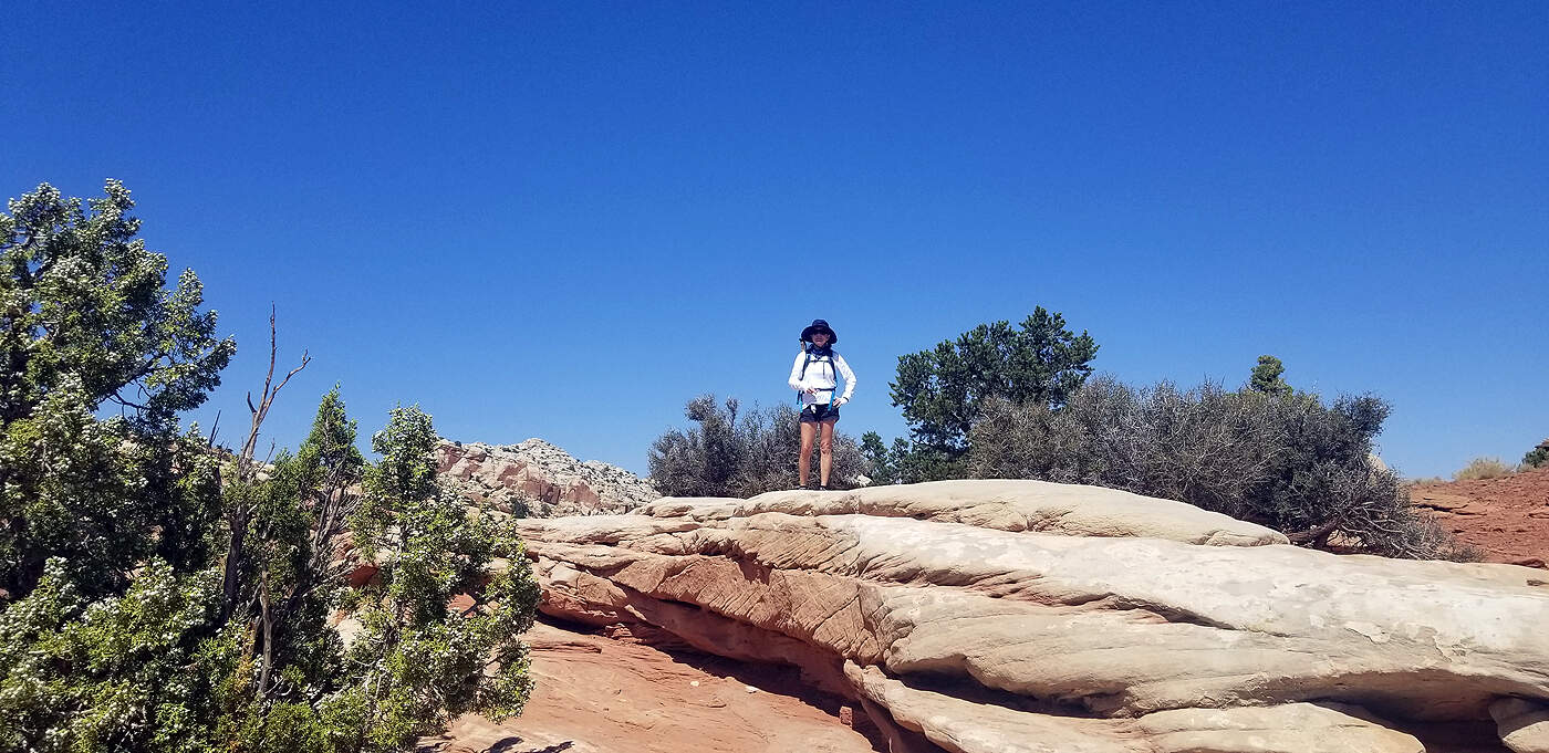
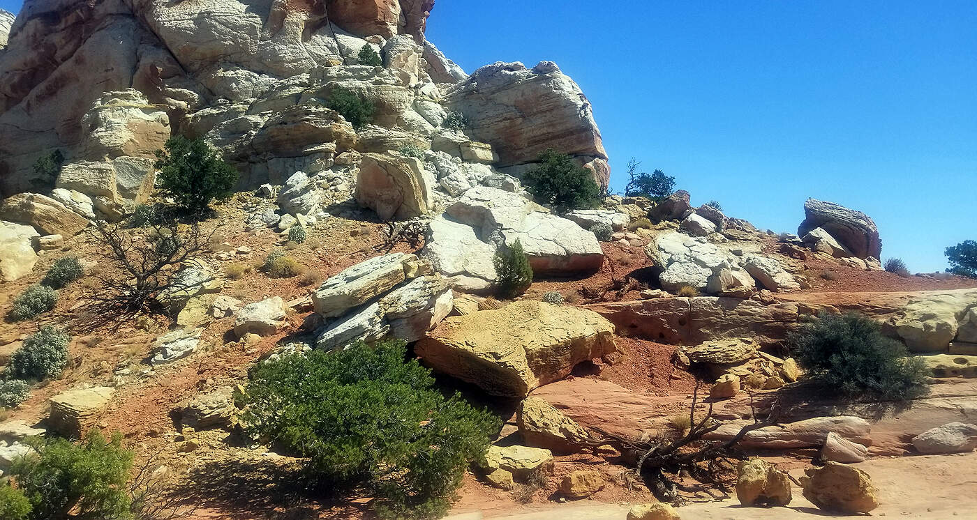
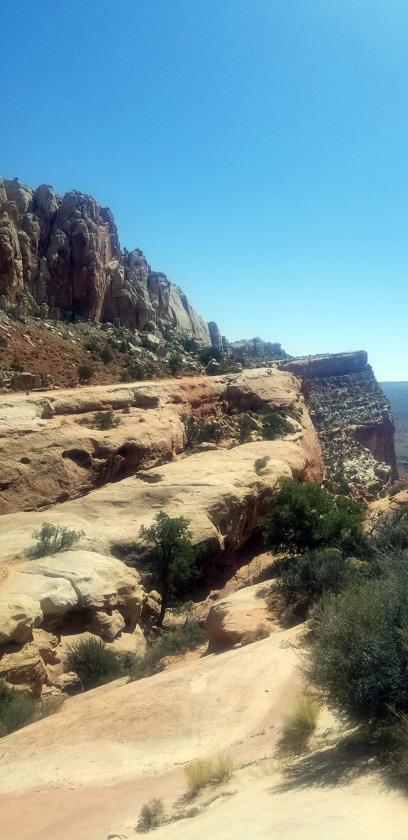
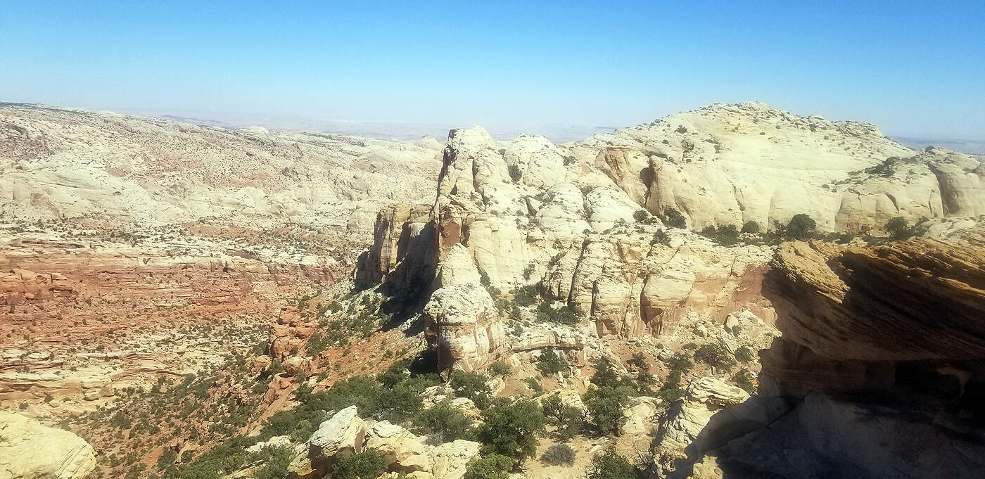
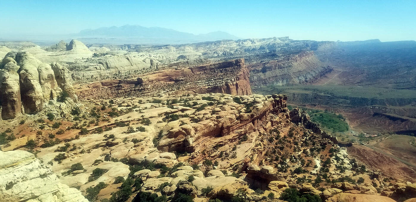
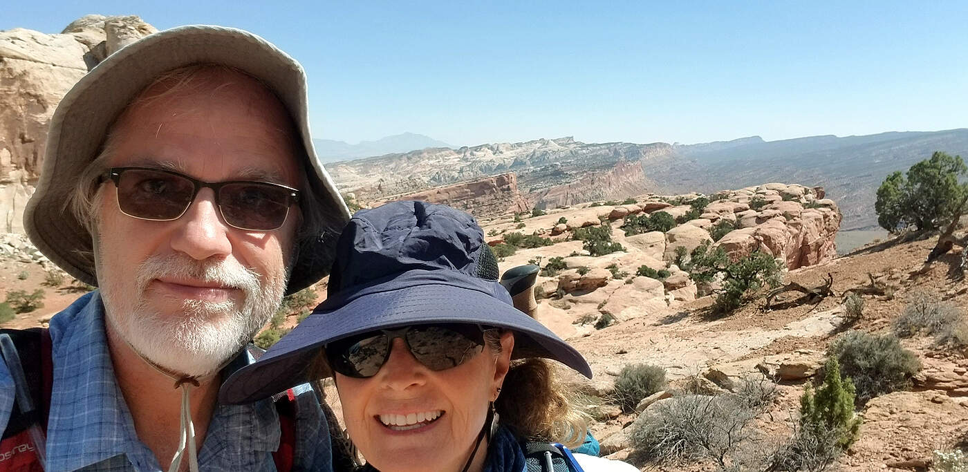
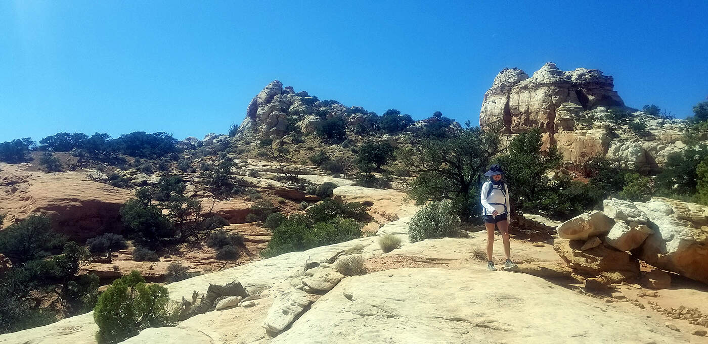
DAY 7: CAPITOL REEF NATIONAL PARK
Total hiking miles this day: ~ 11.5 miles
Total hiking miles this day: ~
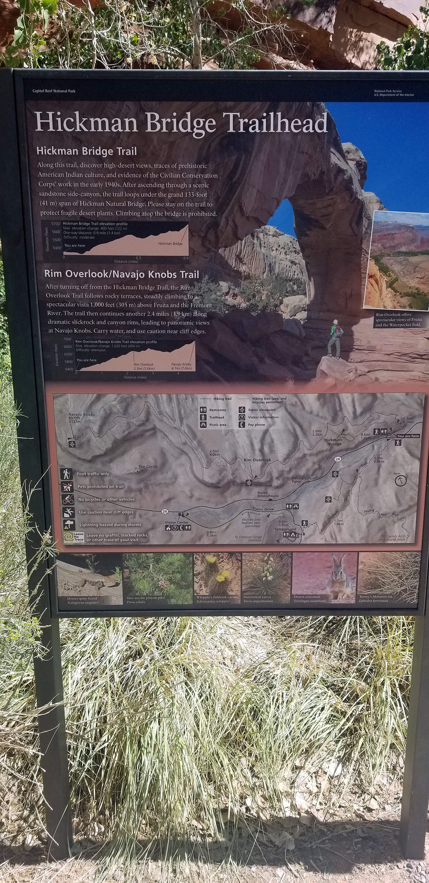
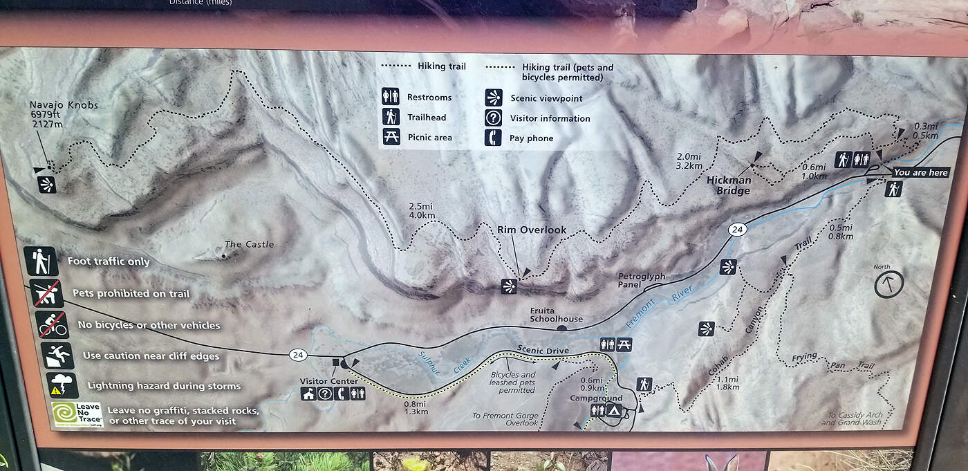
At Capitol Reef we did the Navajo Knobs Trail. We were feeling good with all the hiking we had been doing, but this was definitely a big one at 9.1 miles and rated hard. The first part of the trail is shared with the Hickman Bridge Trail which is rated moderate and has way more hikers on it. Once you pass the fork to Hickman there are very few others hikers. We only saw about 4 other people past this point. "
Navajo Knobs Trail is a 9.1 mile heavily trafficked out and back trail located near Torrey, Utah that features beautiful wild flowers and is rated as difficult. The trail is primarily used for hiking, nature trips, and bird watching and is best used from March until November." per alltrails.com
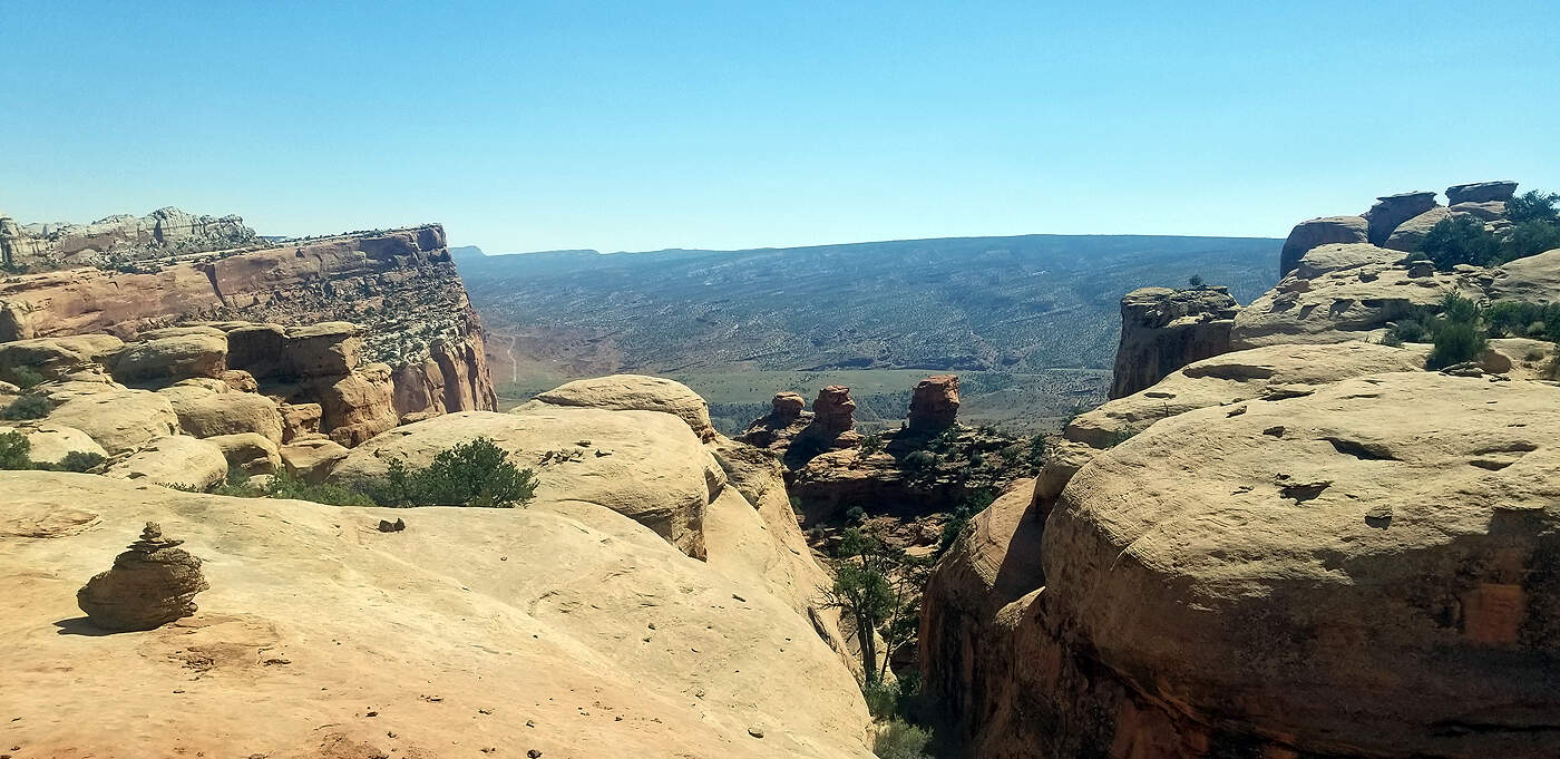
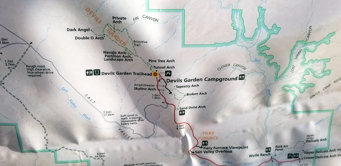
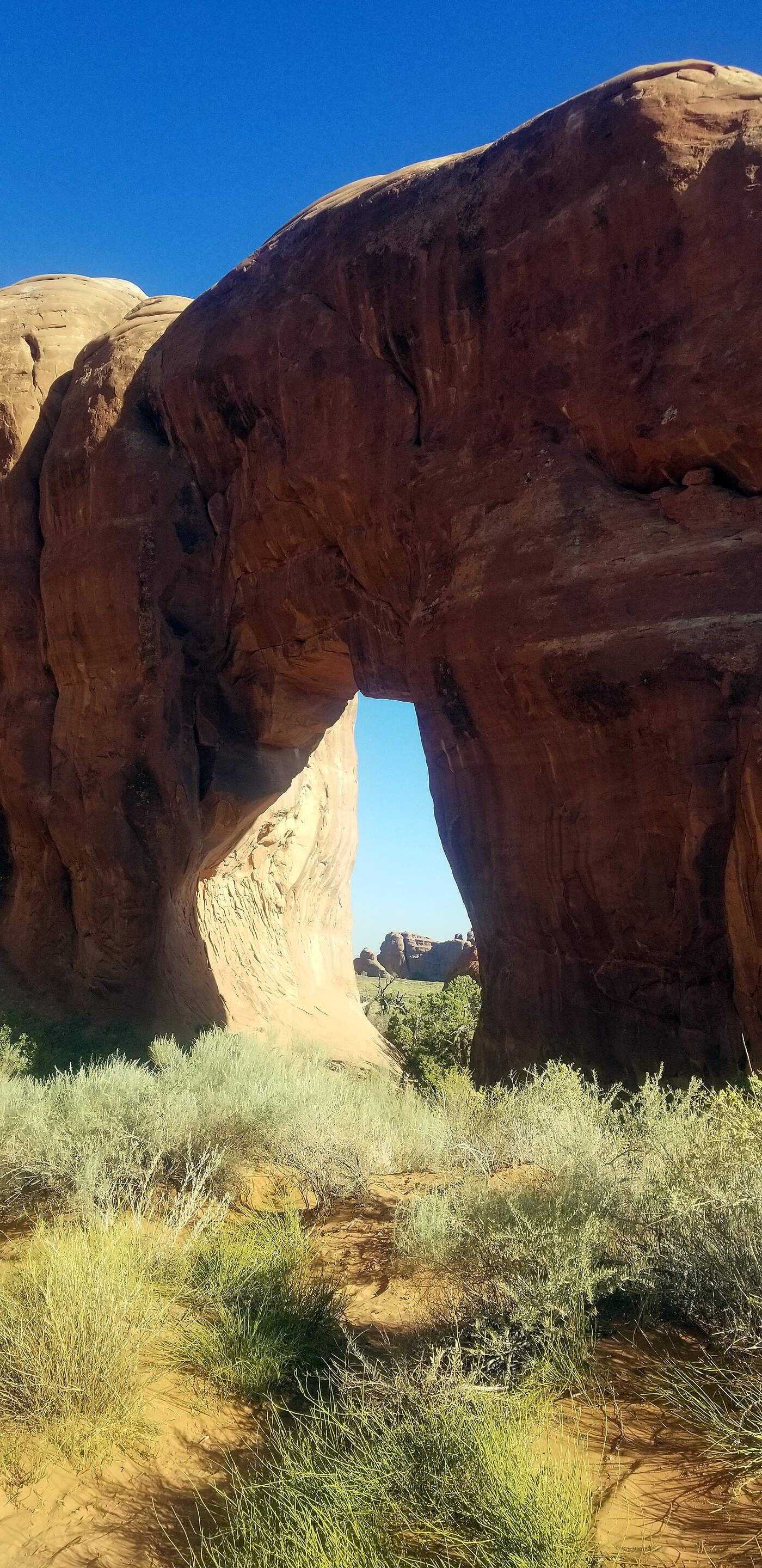
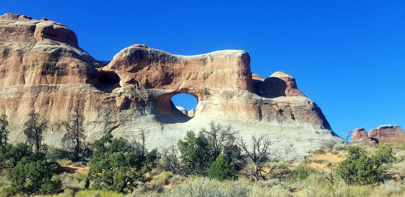
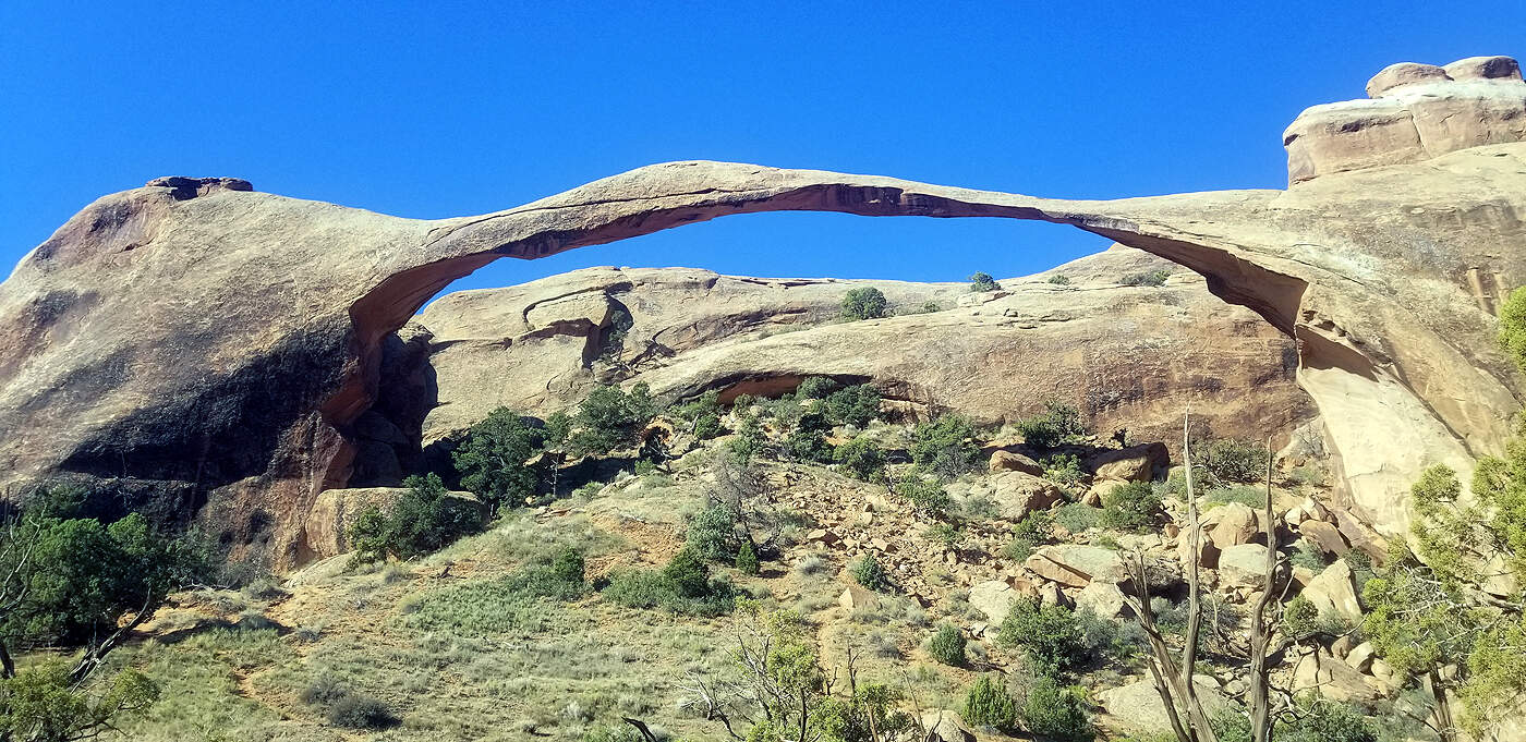
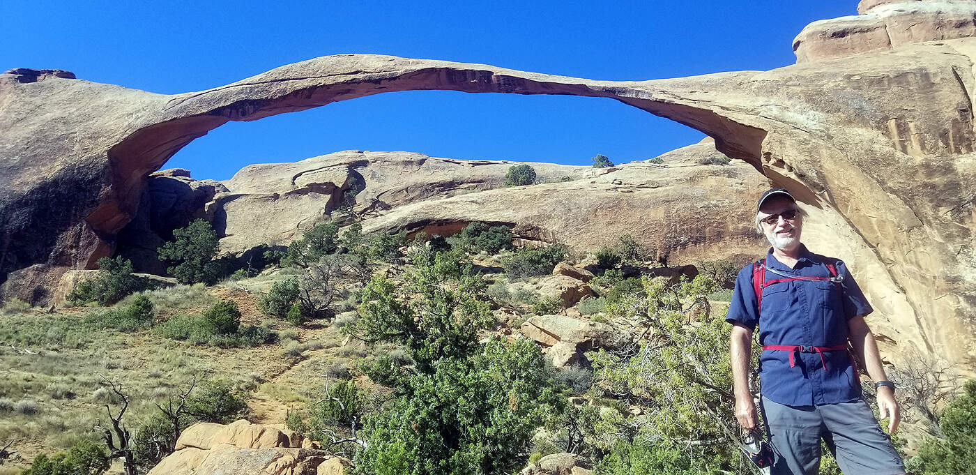
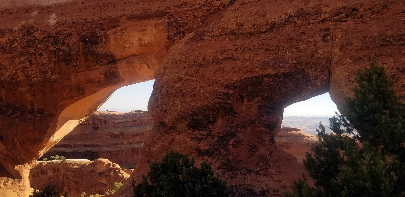
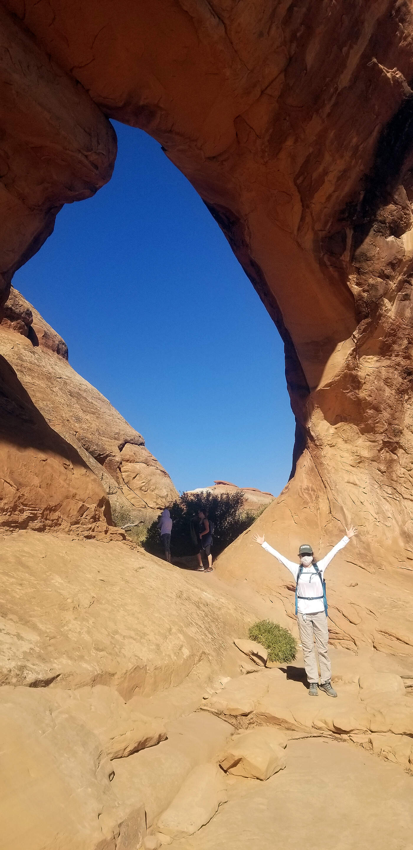
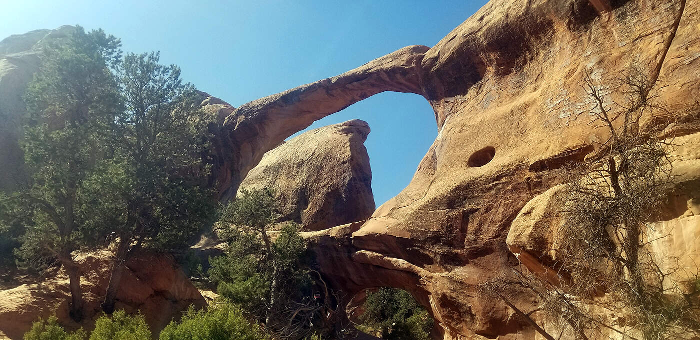
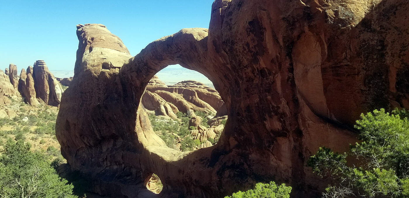
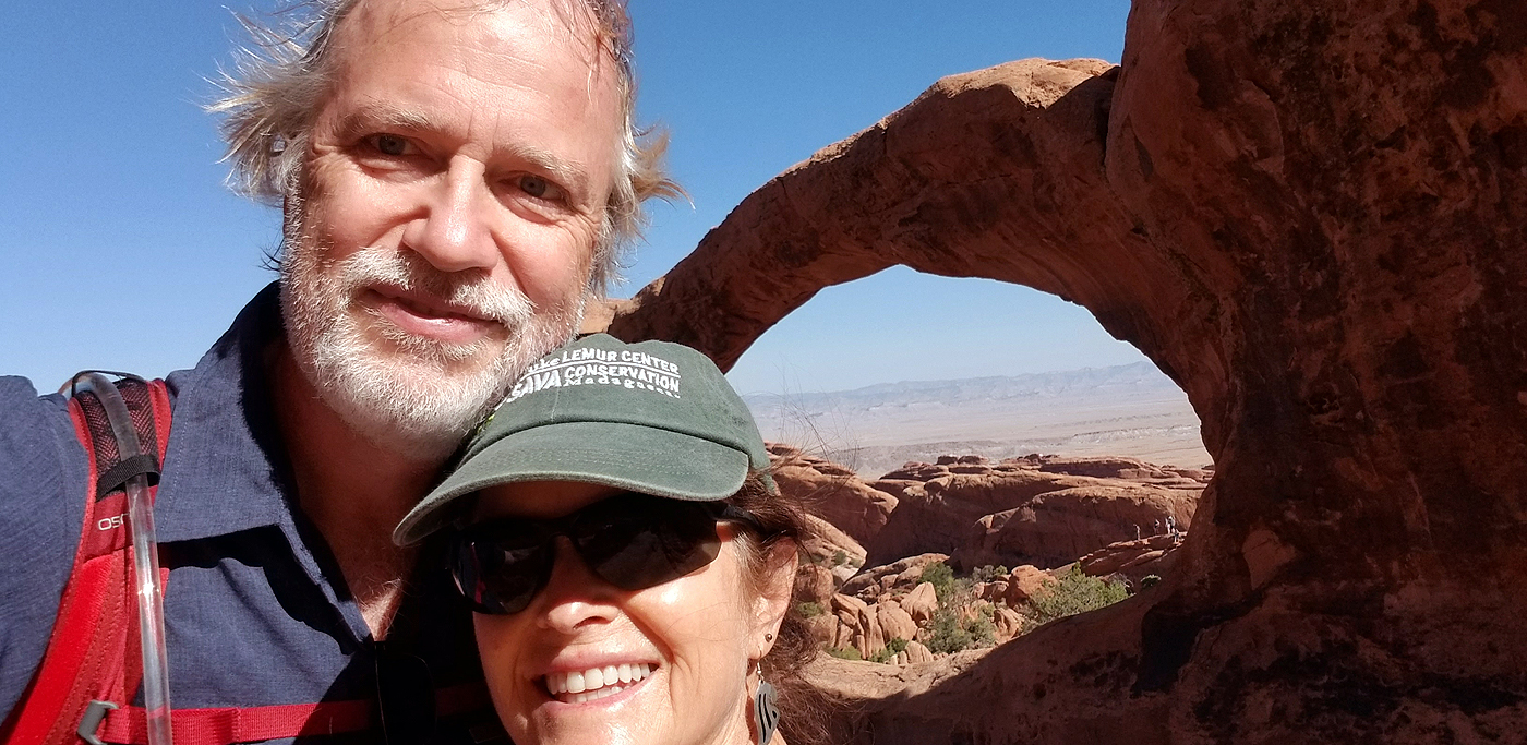
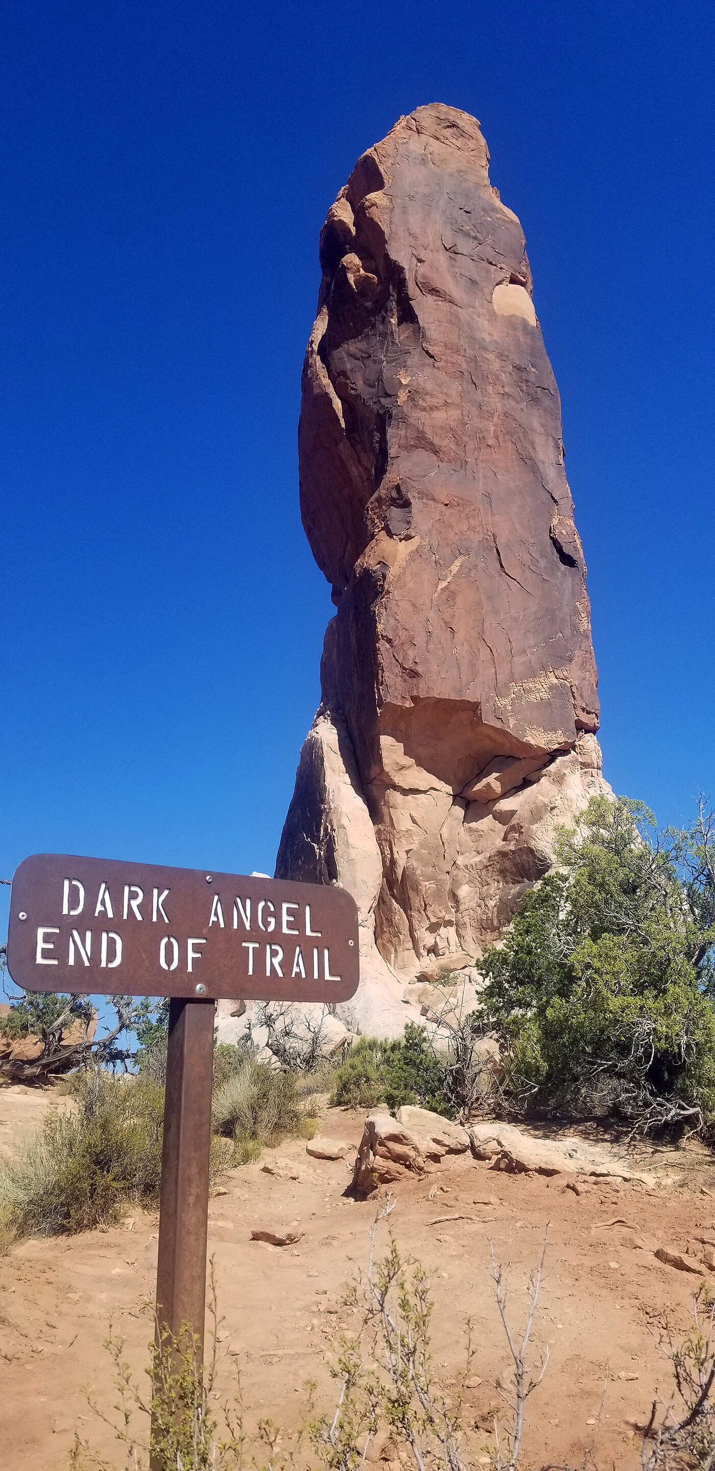
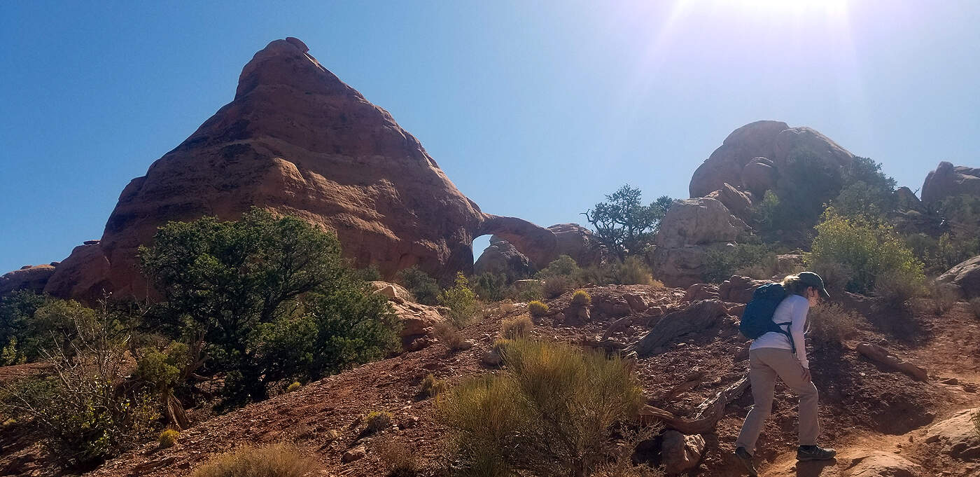
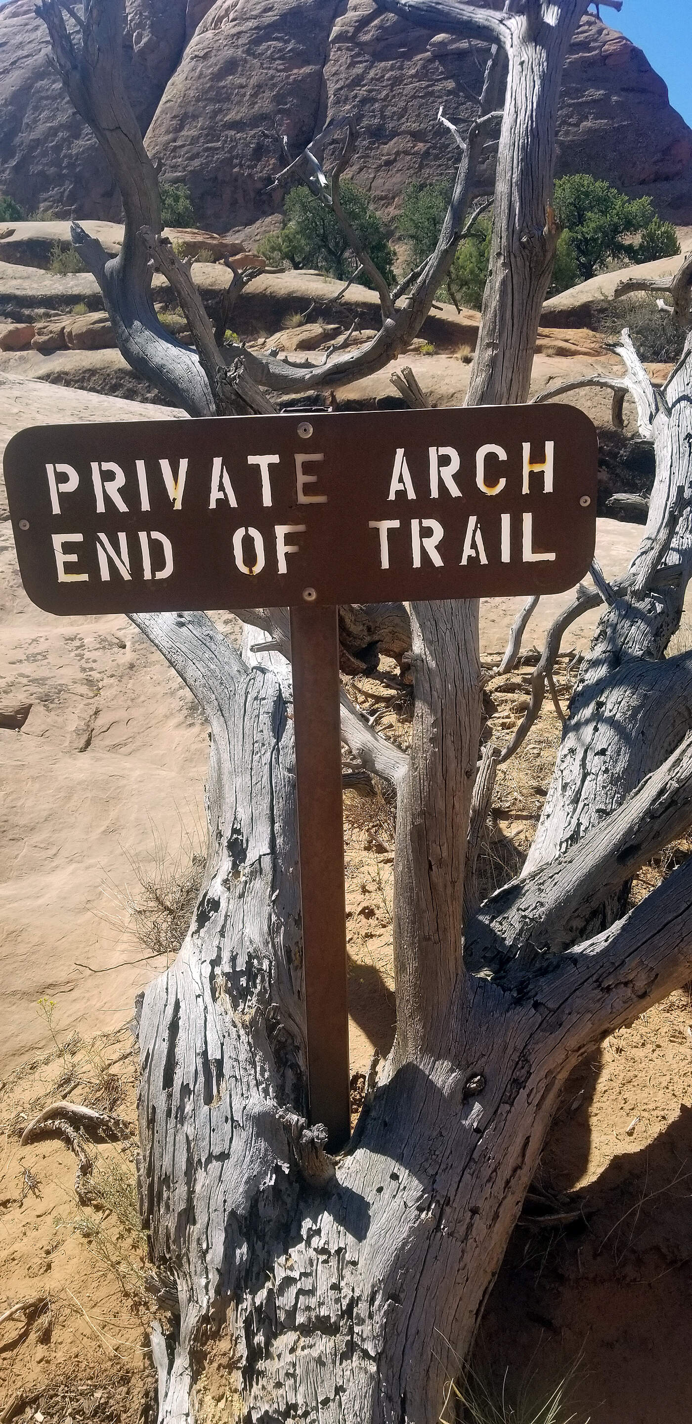
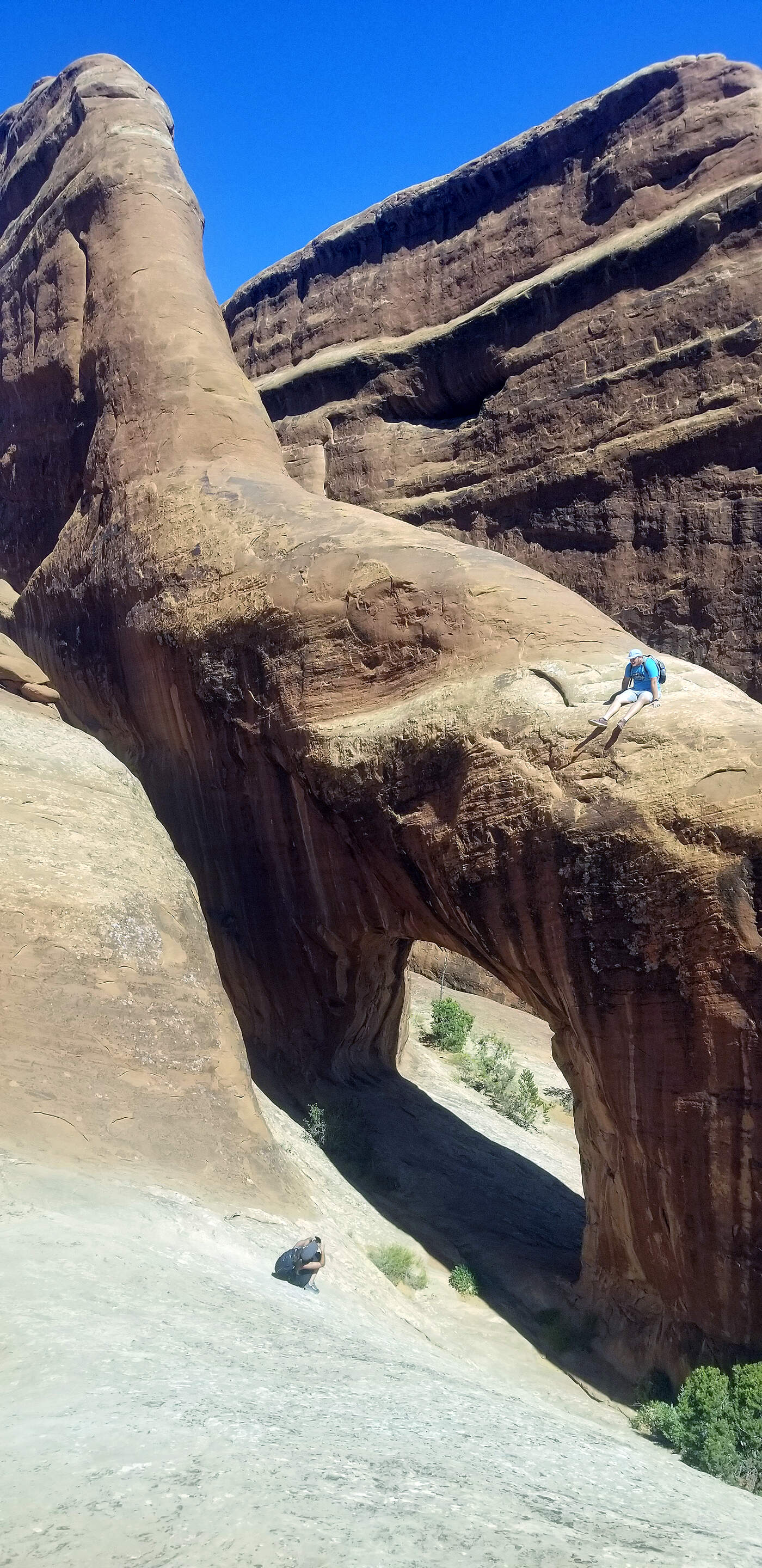
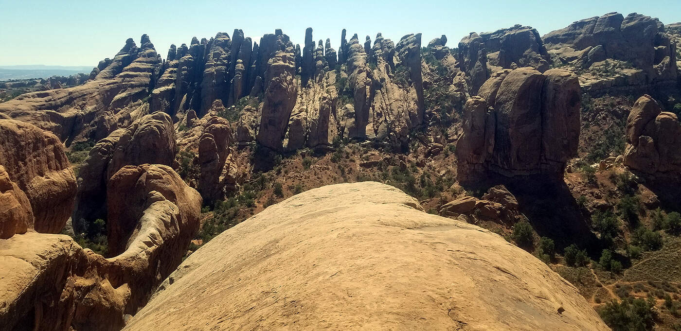
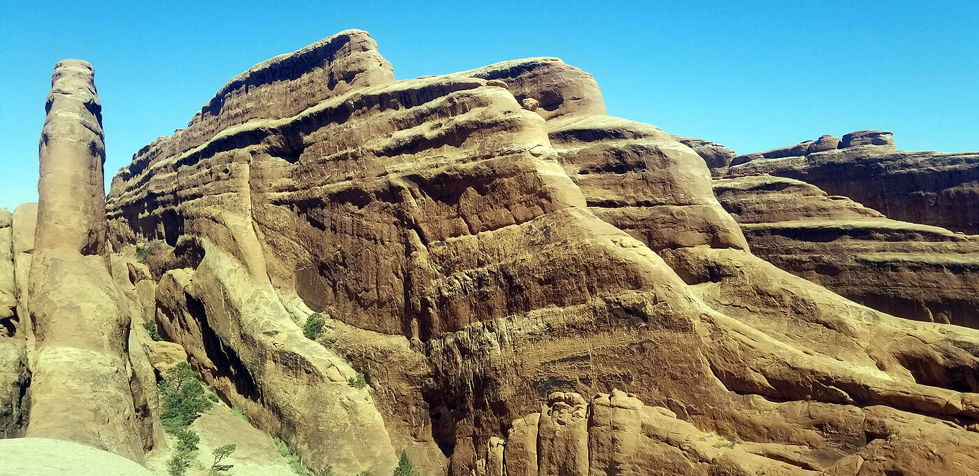
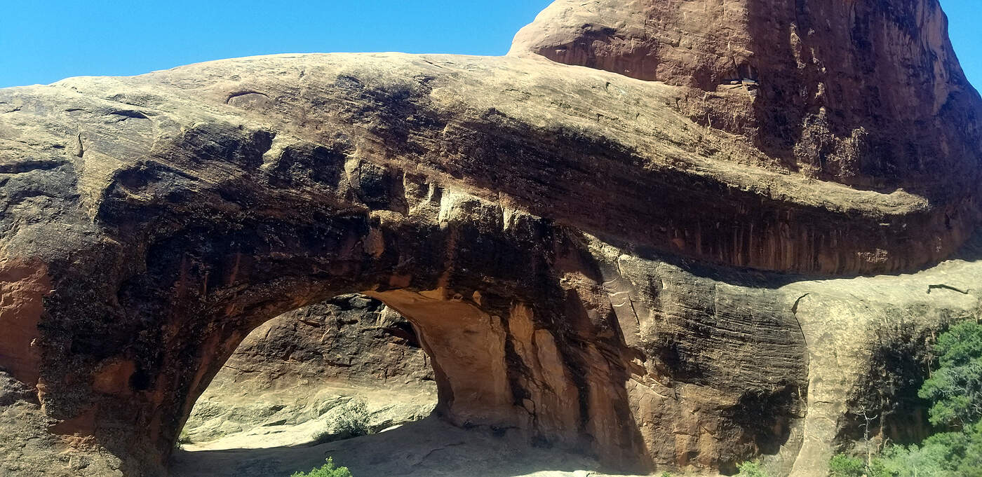
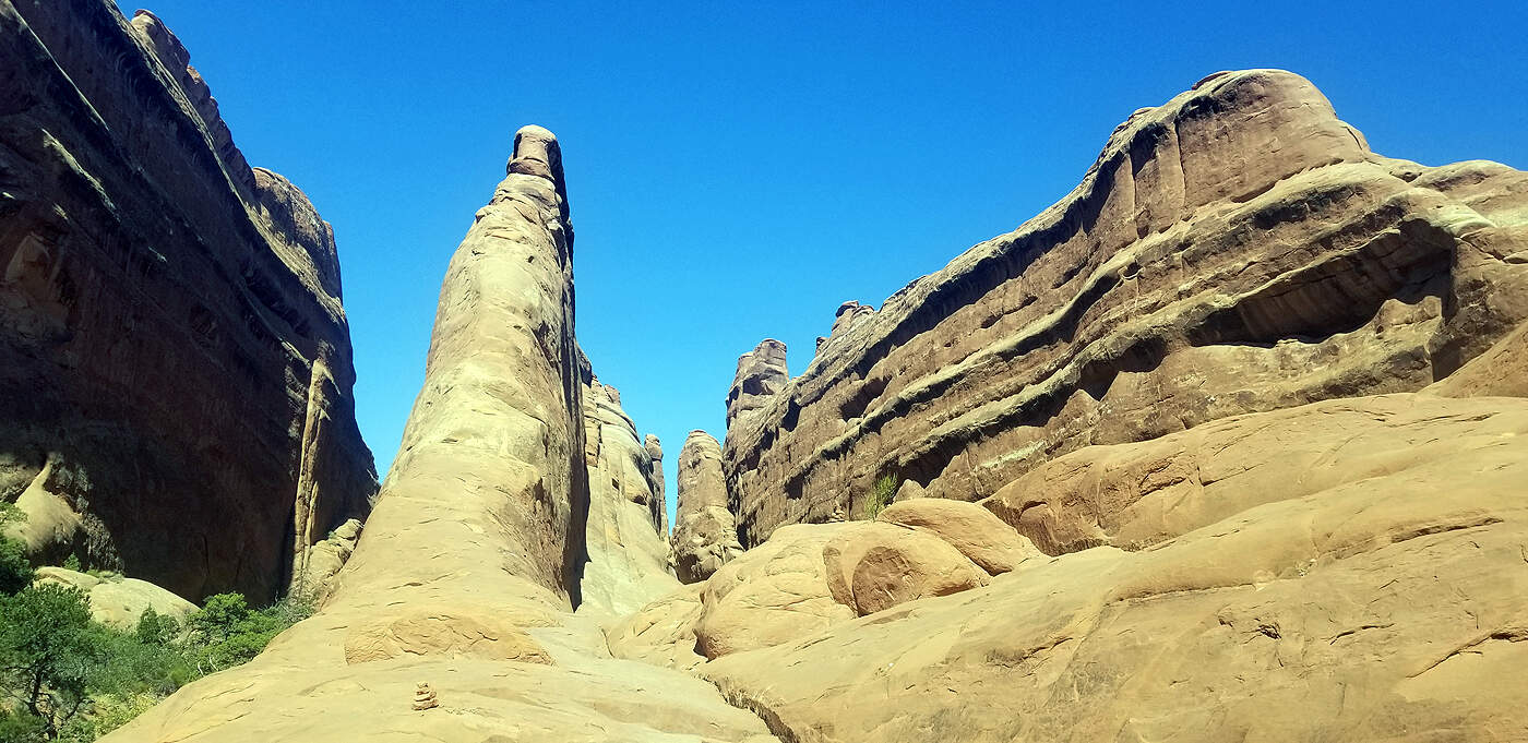
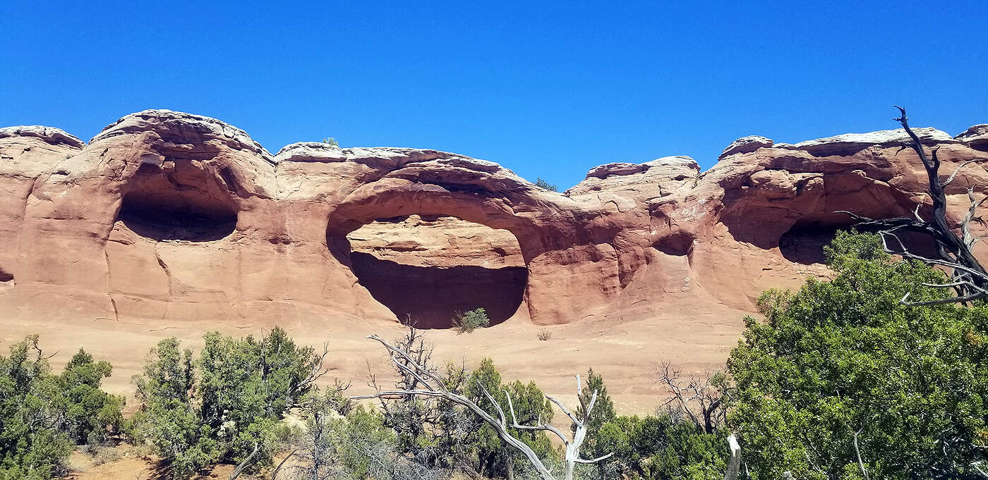
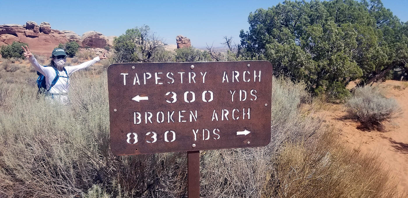
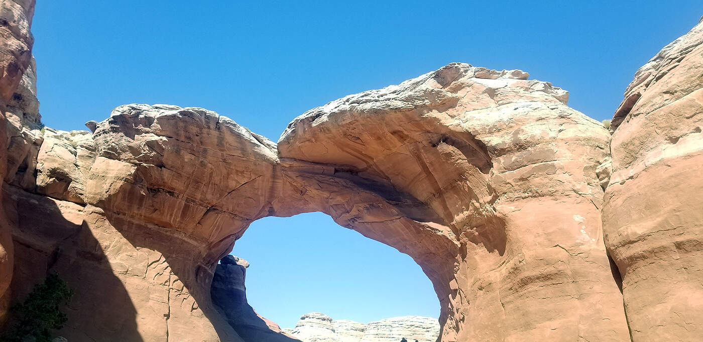
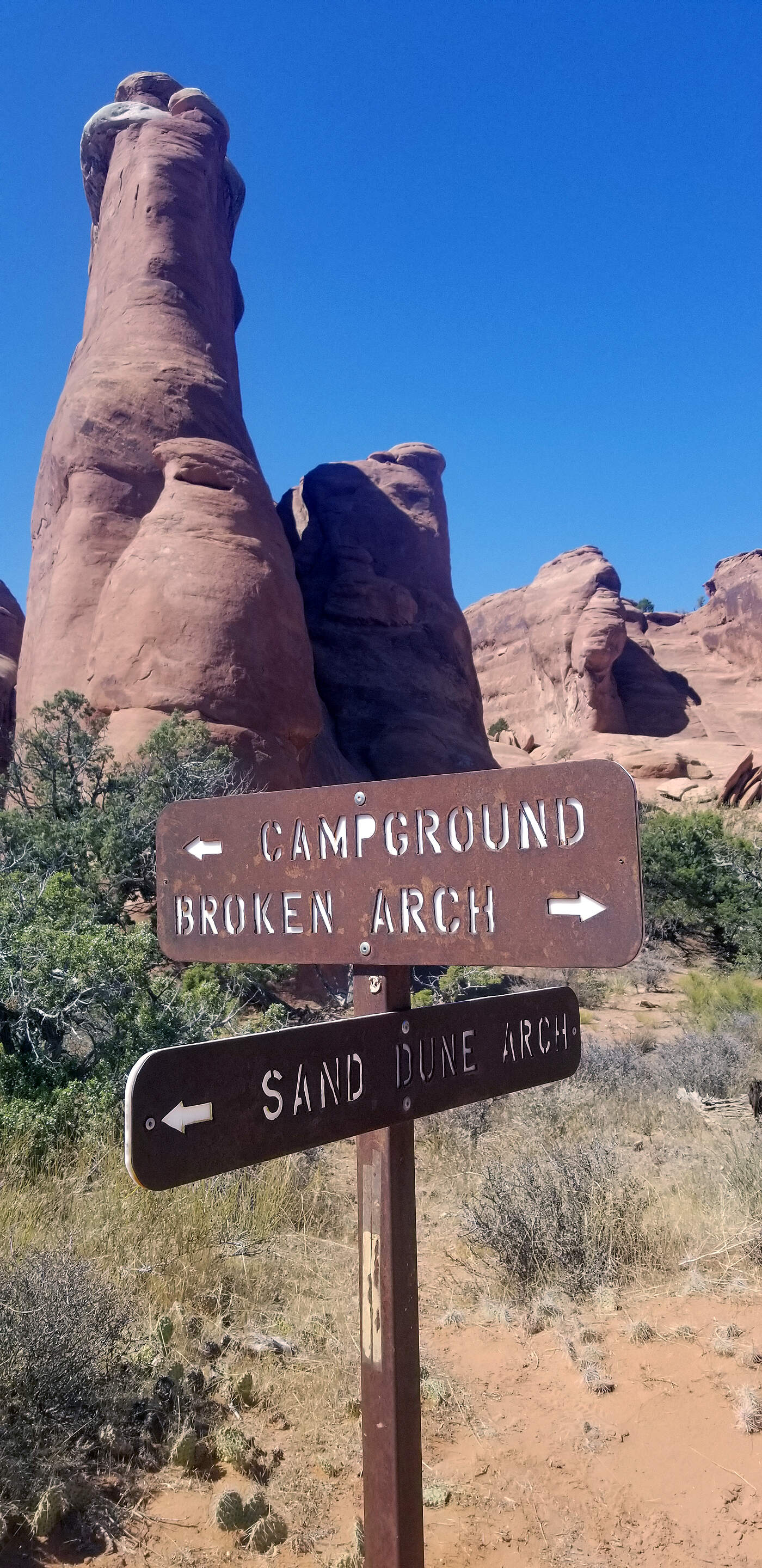
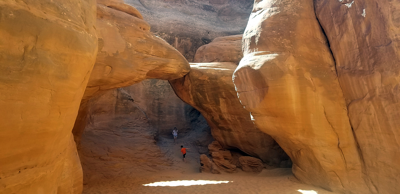
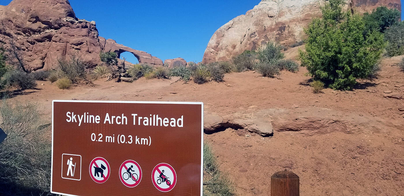
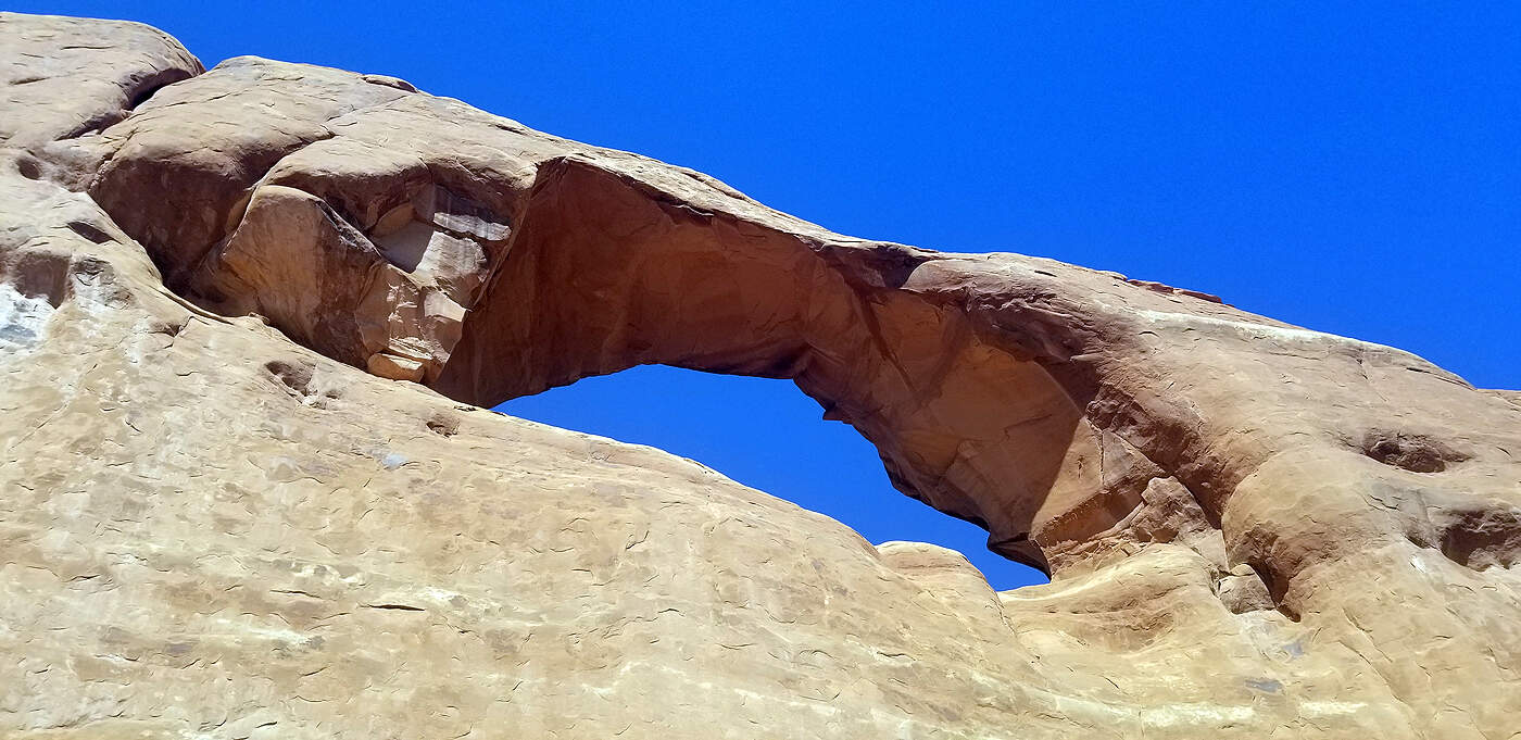
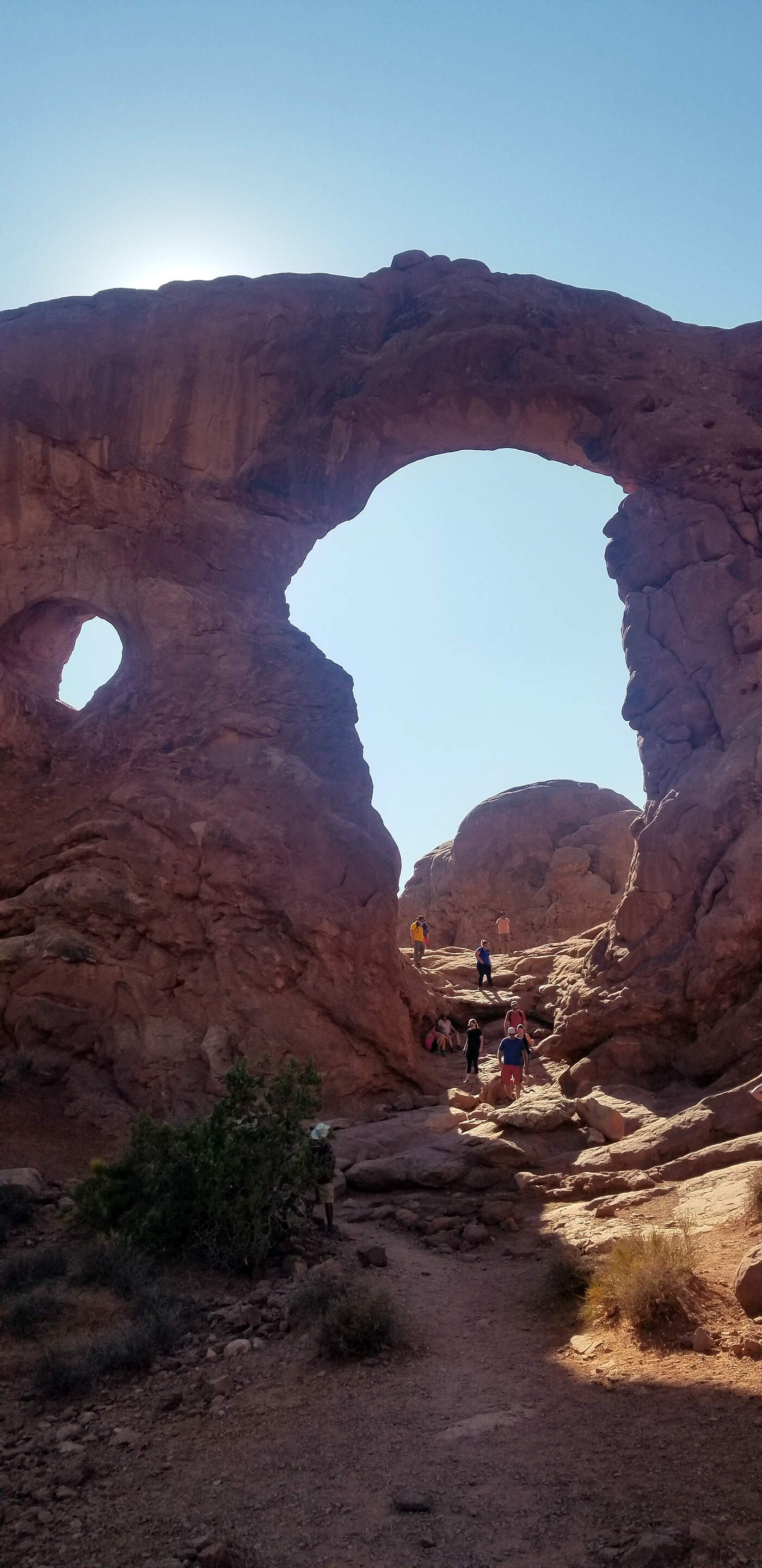
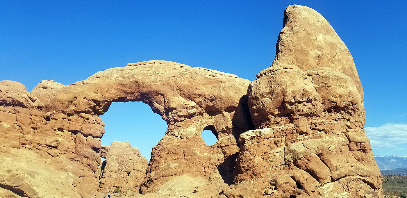
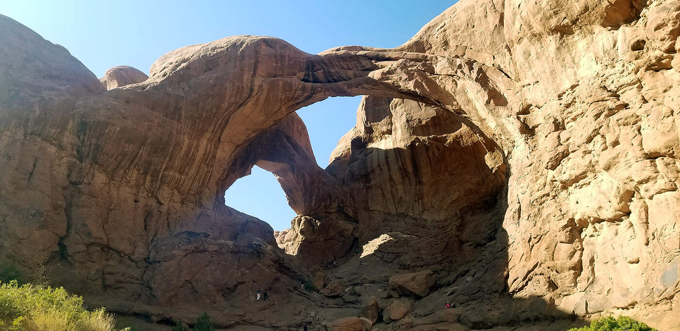
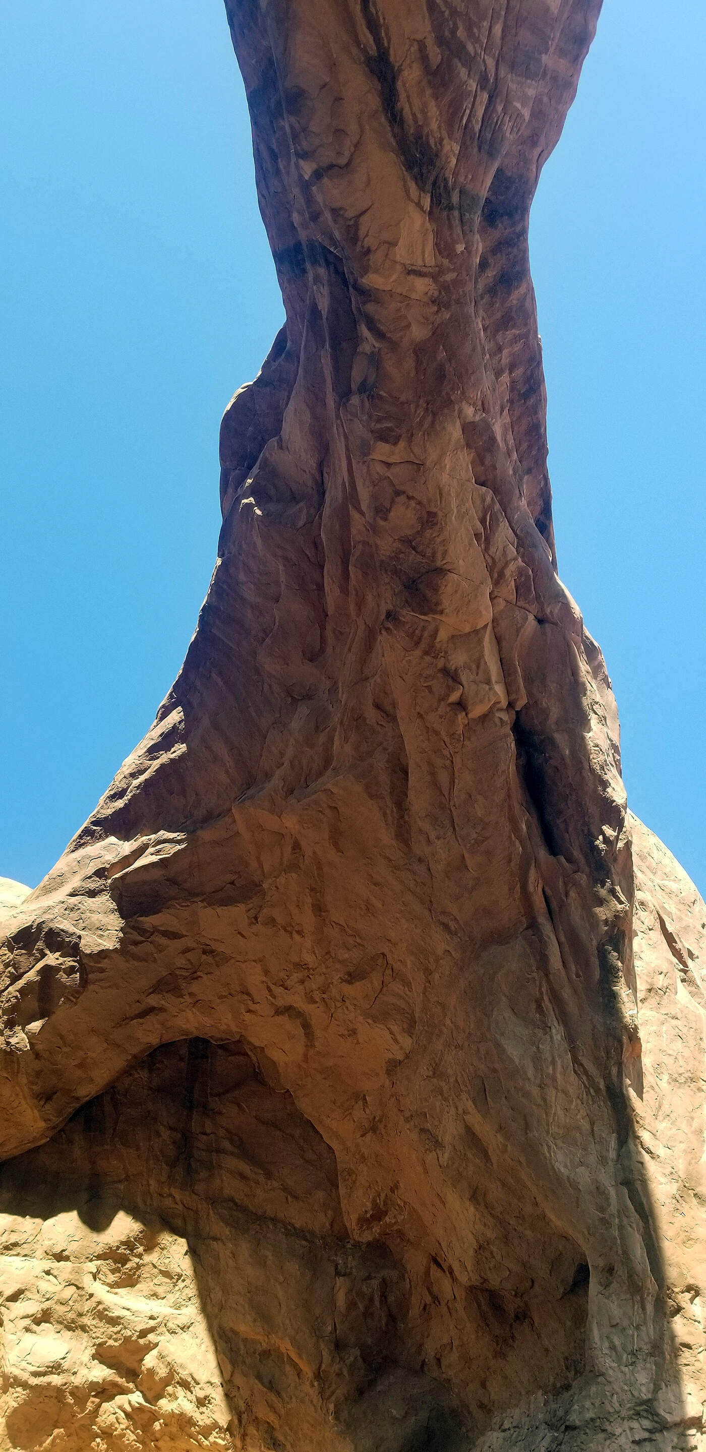
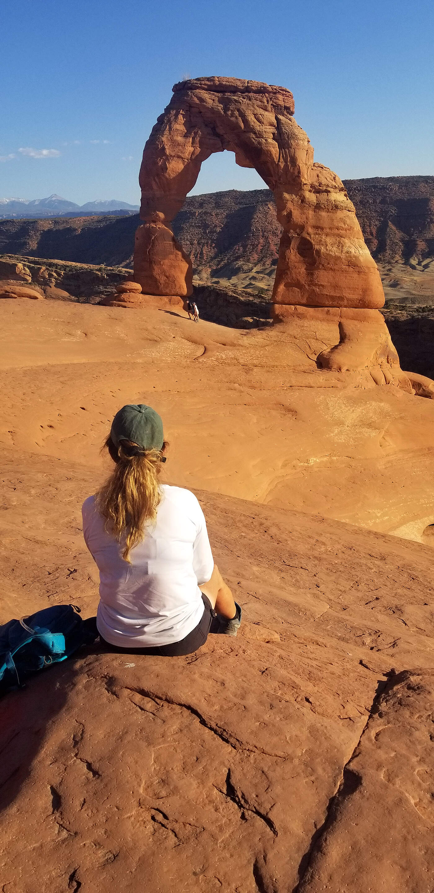
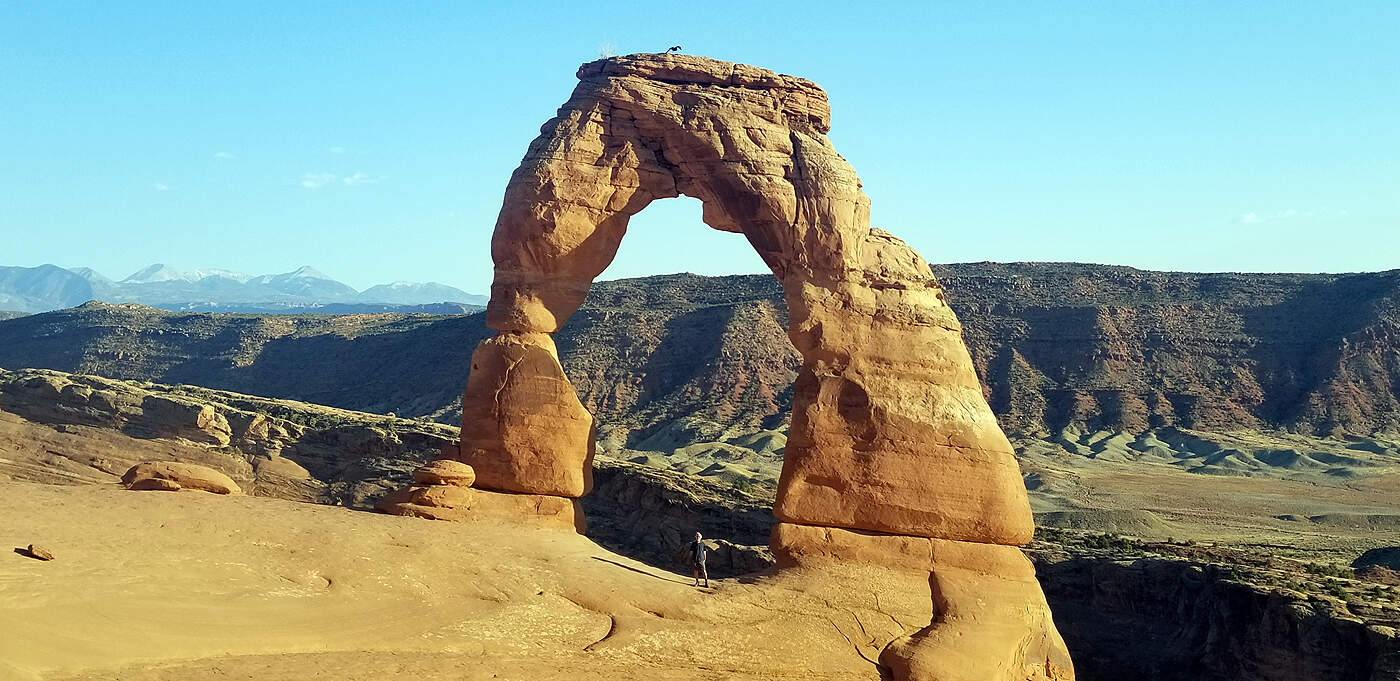
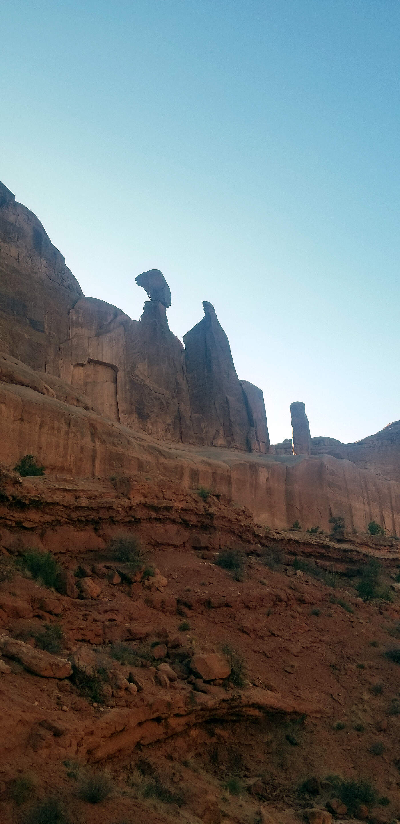
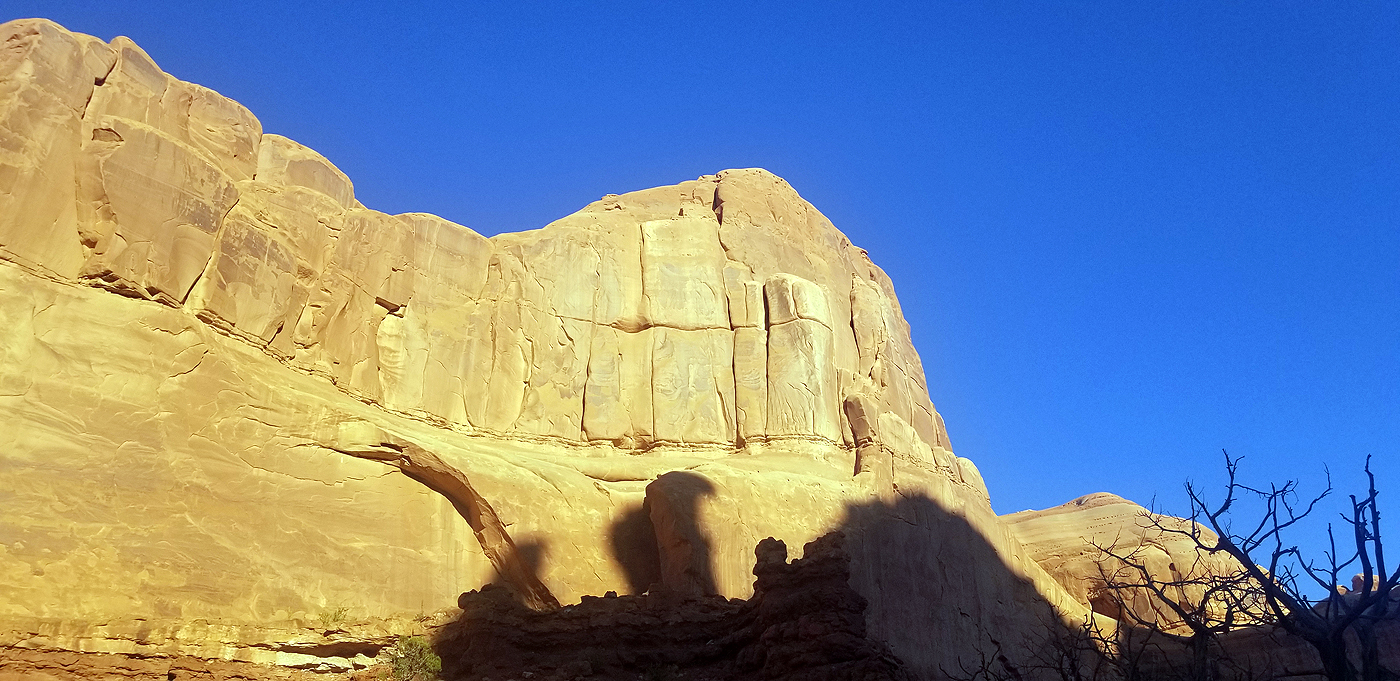
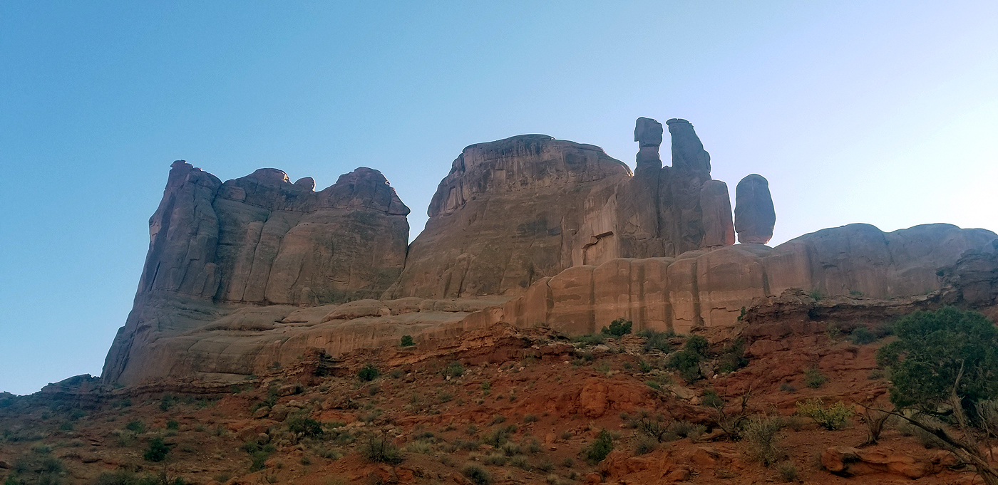
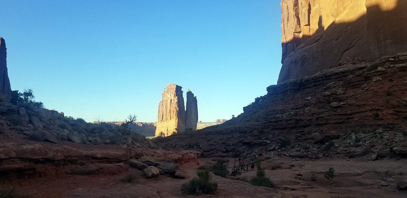
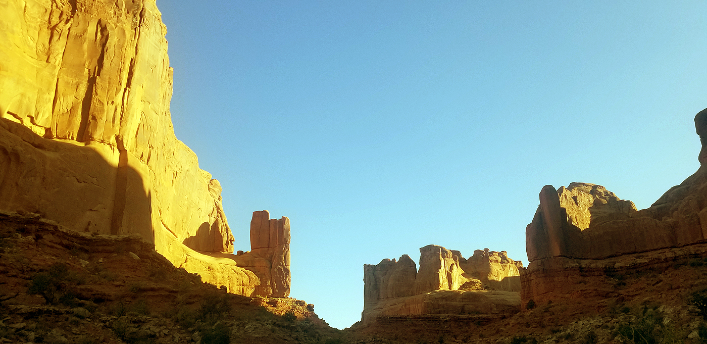
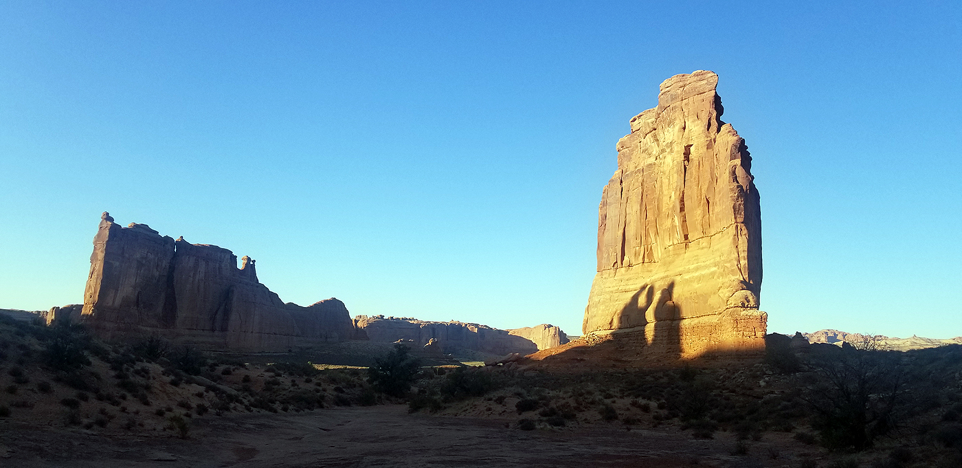
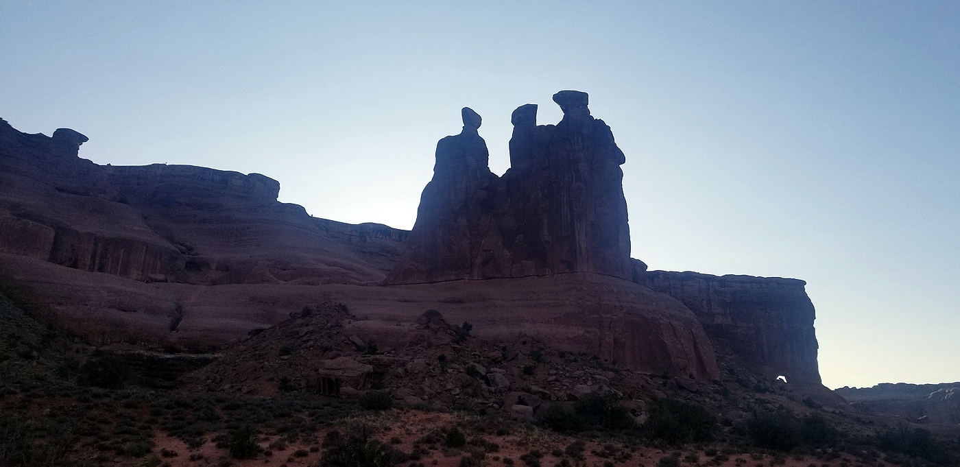
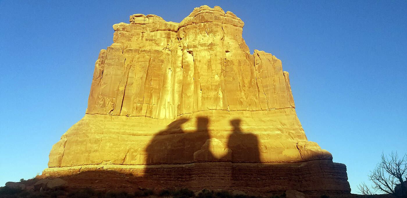
DAY 8: ARCHES NATIONAL PARK
Total hiking miles in the day: ~14.8 miles
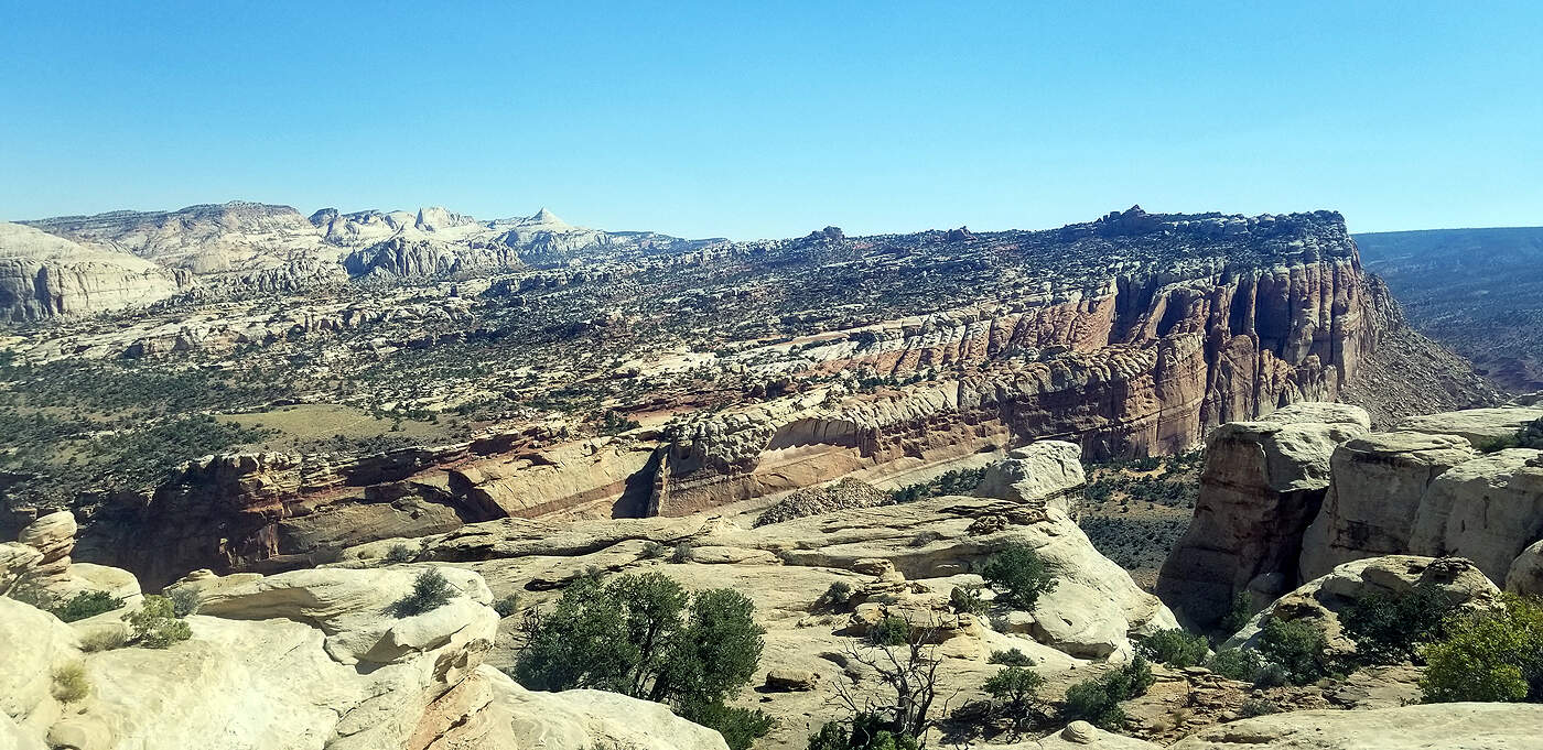
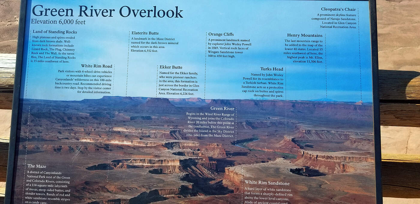
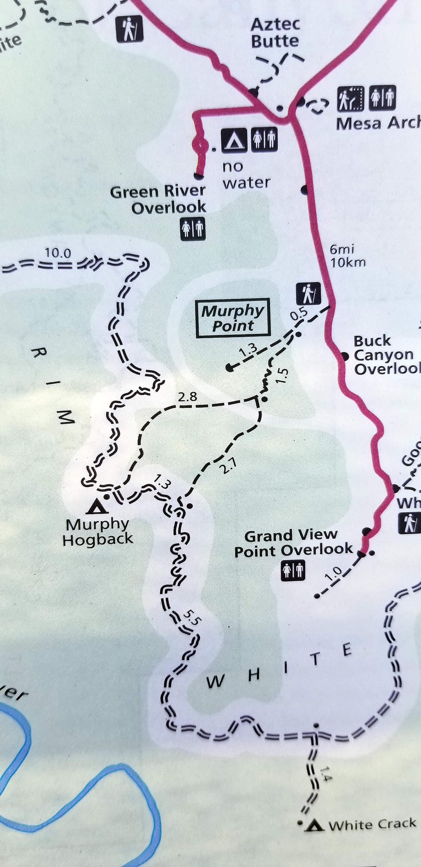
DAY 9: CANYONLANDS - ISLAND IN THE SKY DISTRICT & ARCHES - PARK AVE HIKE
Total hiking miles this day: ~10.1 MILES
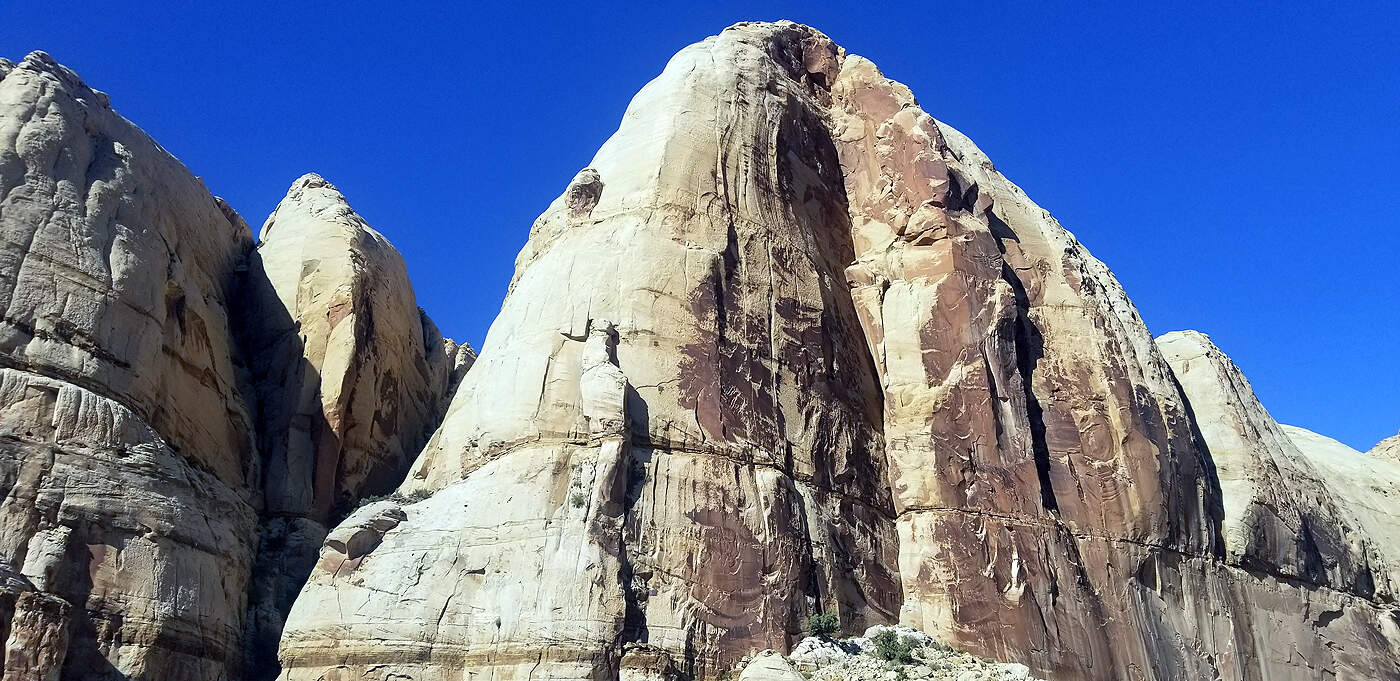
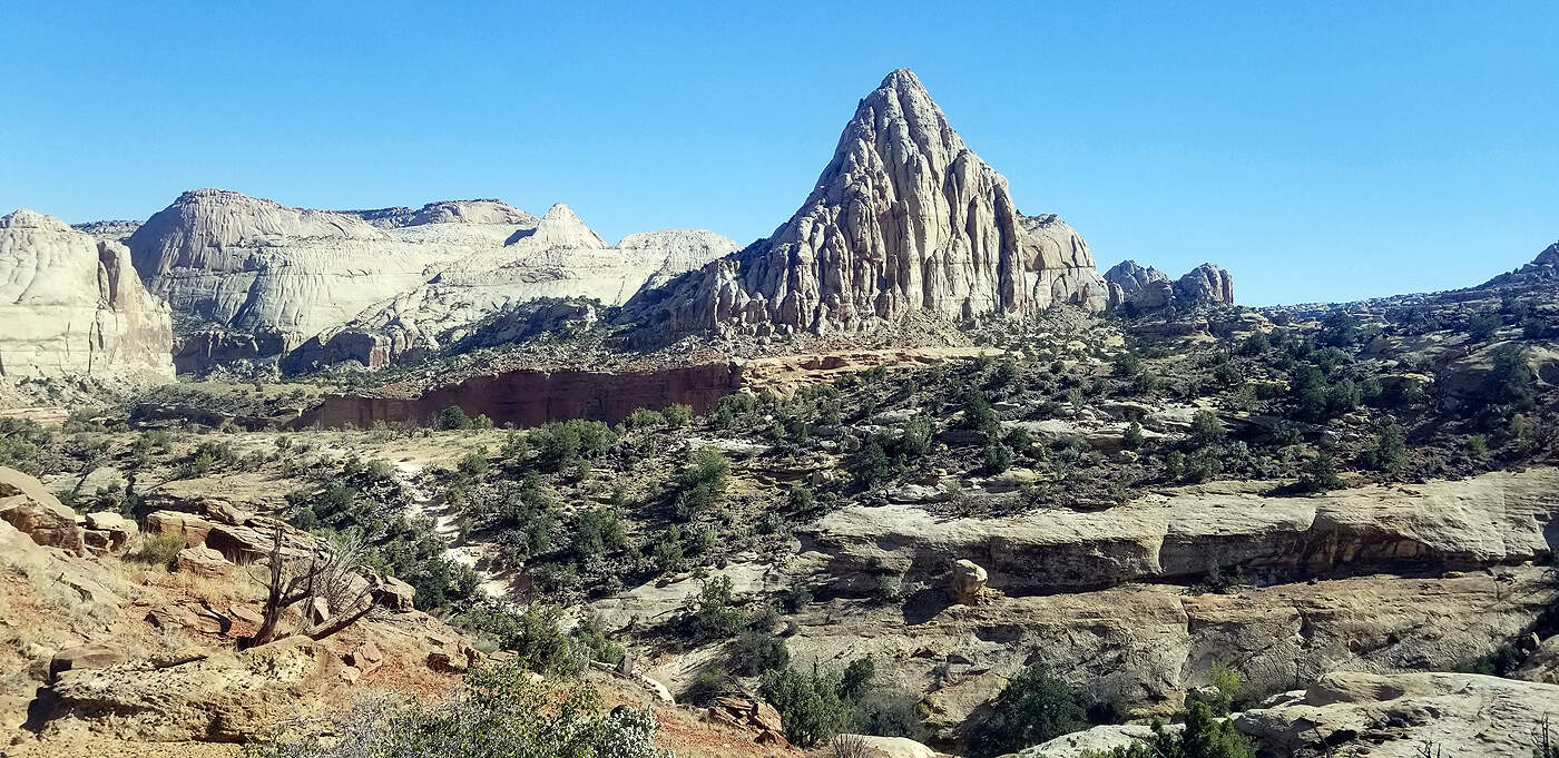
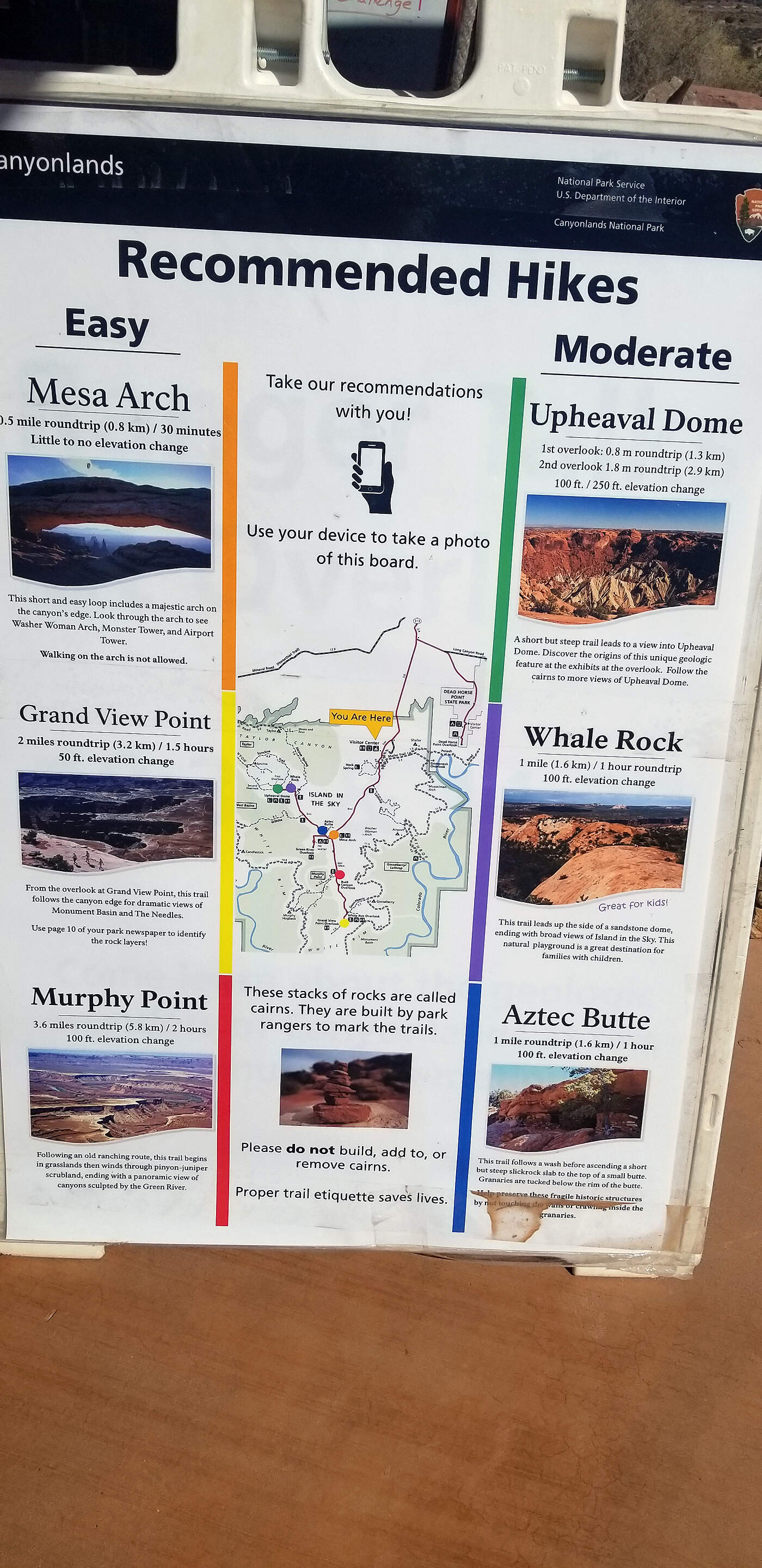
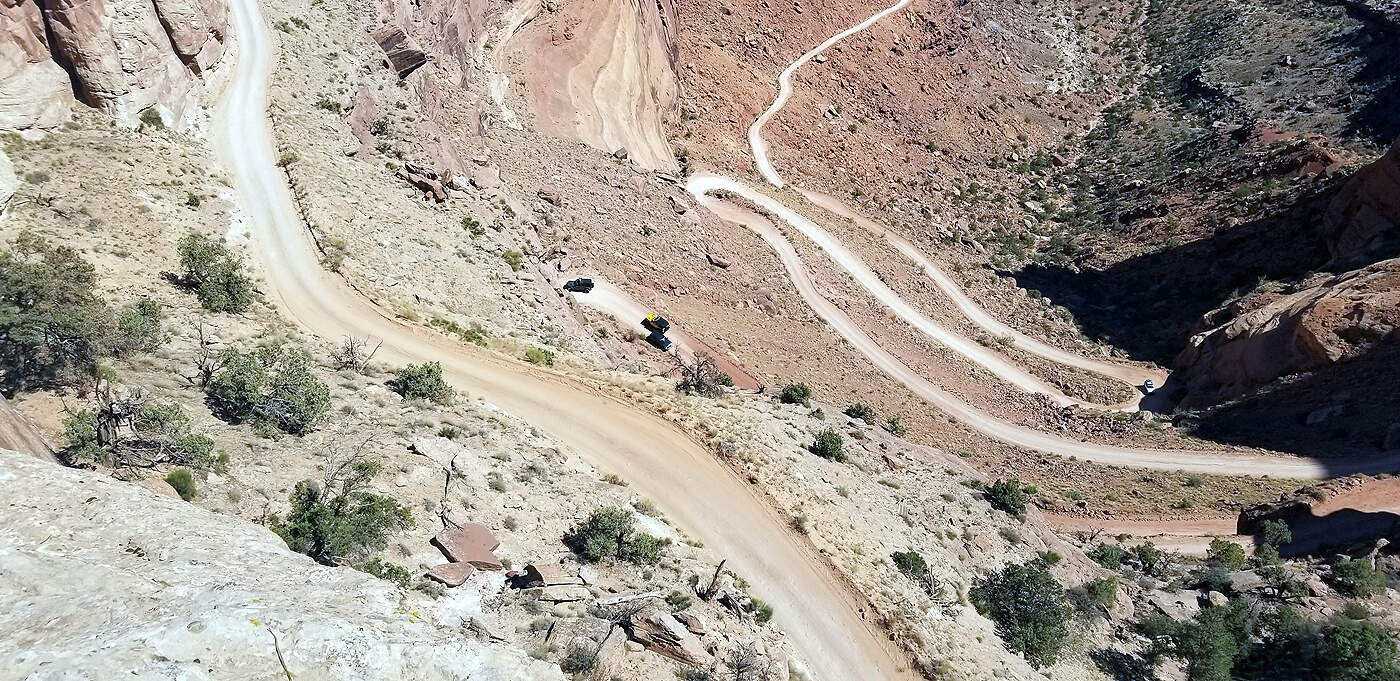
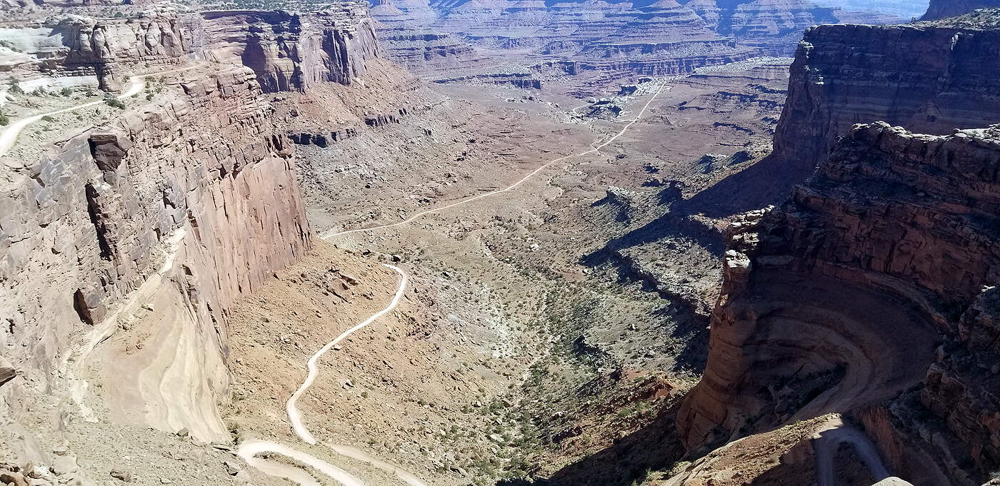
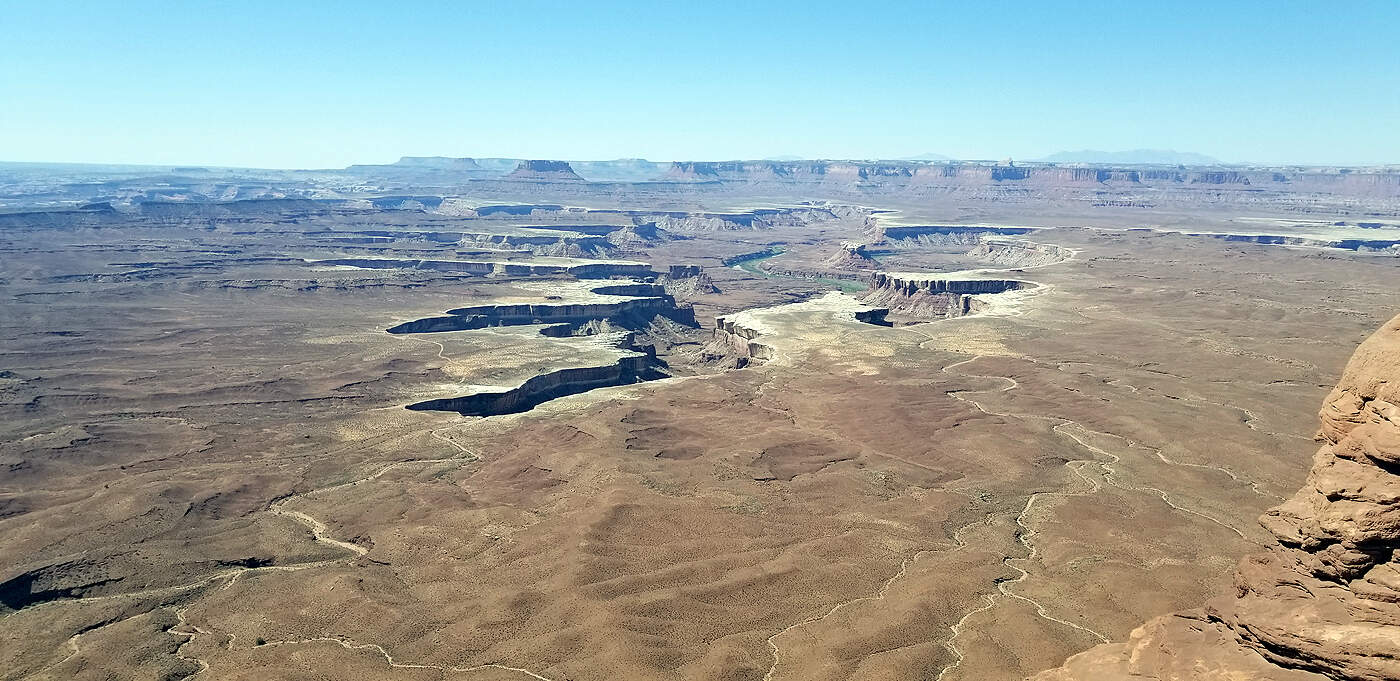
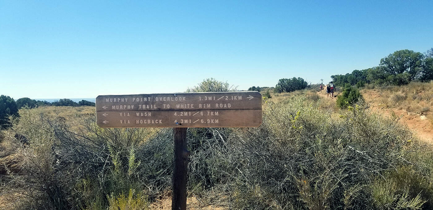
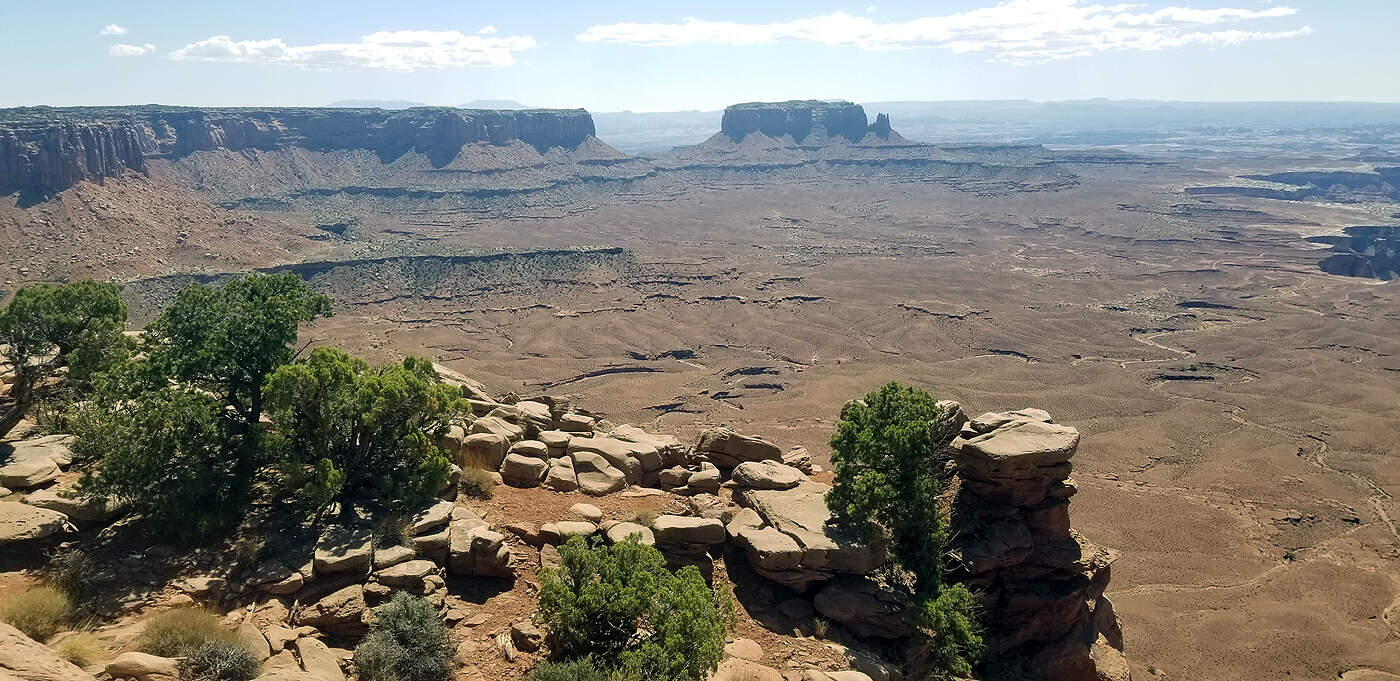
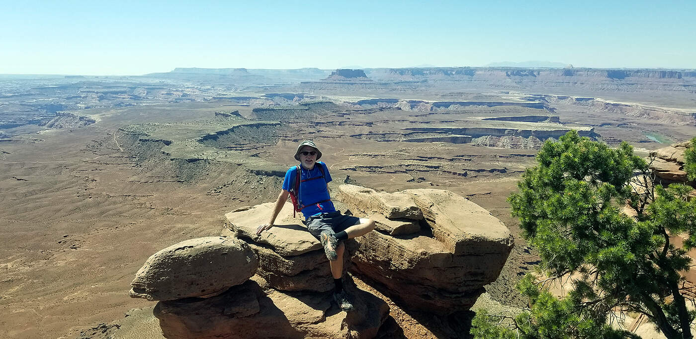
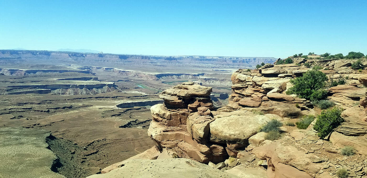
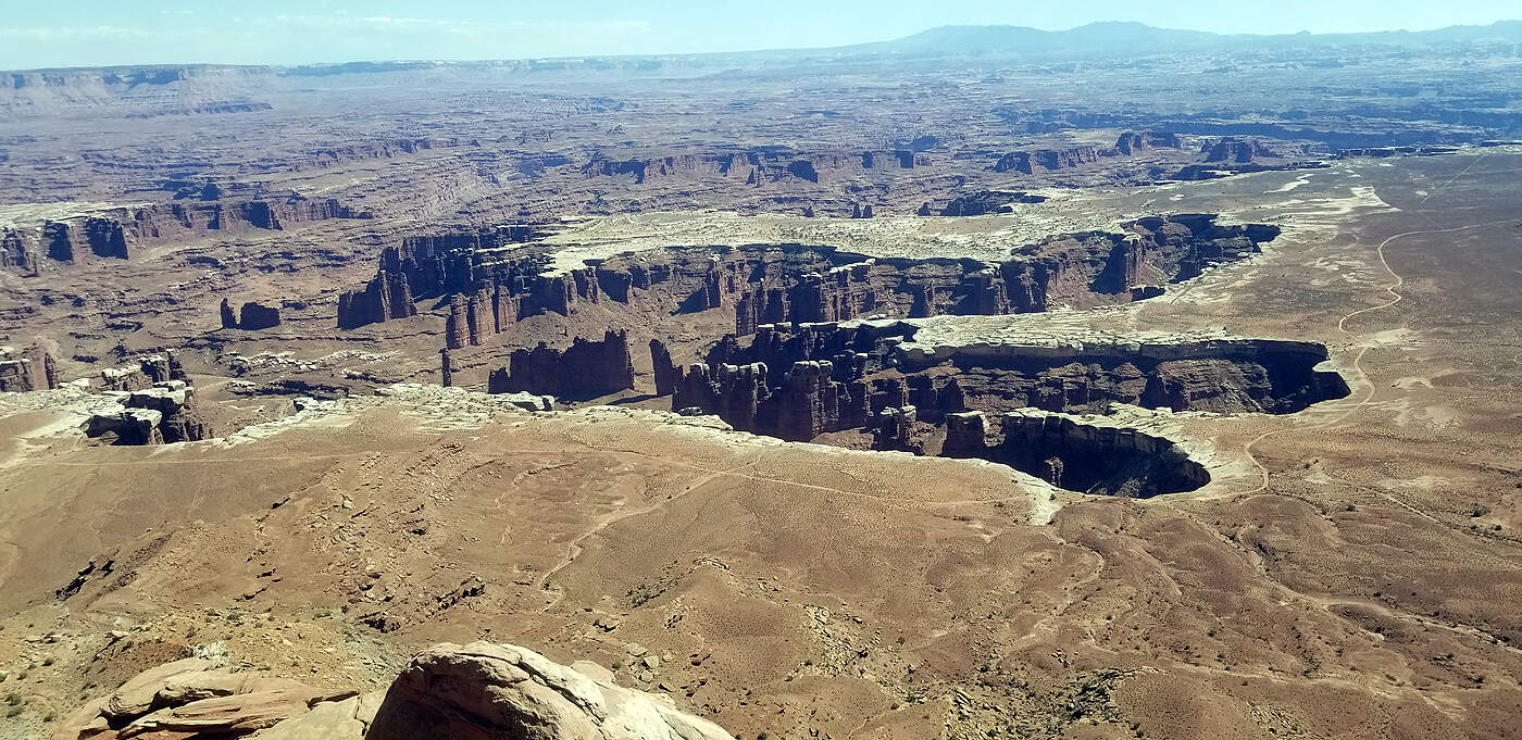
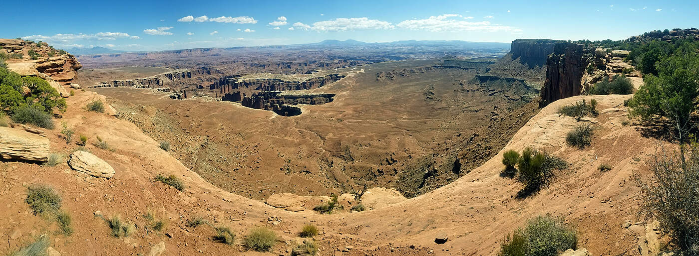
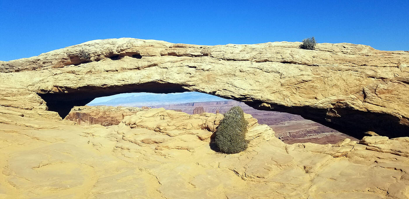
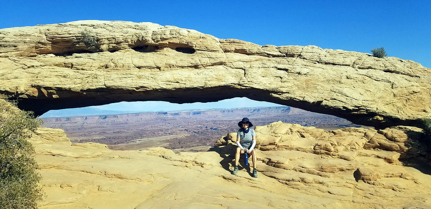
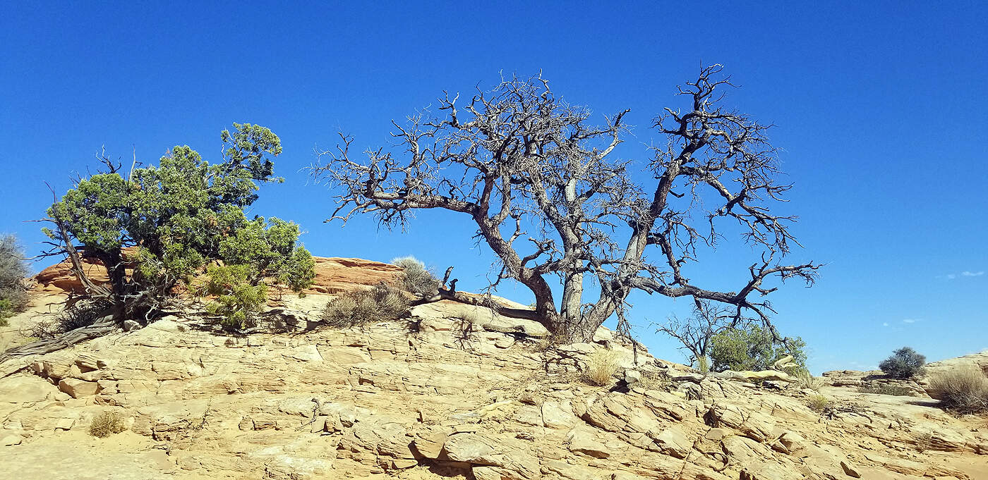
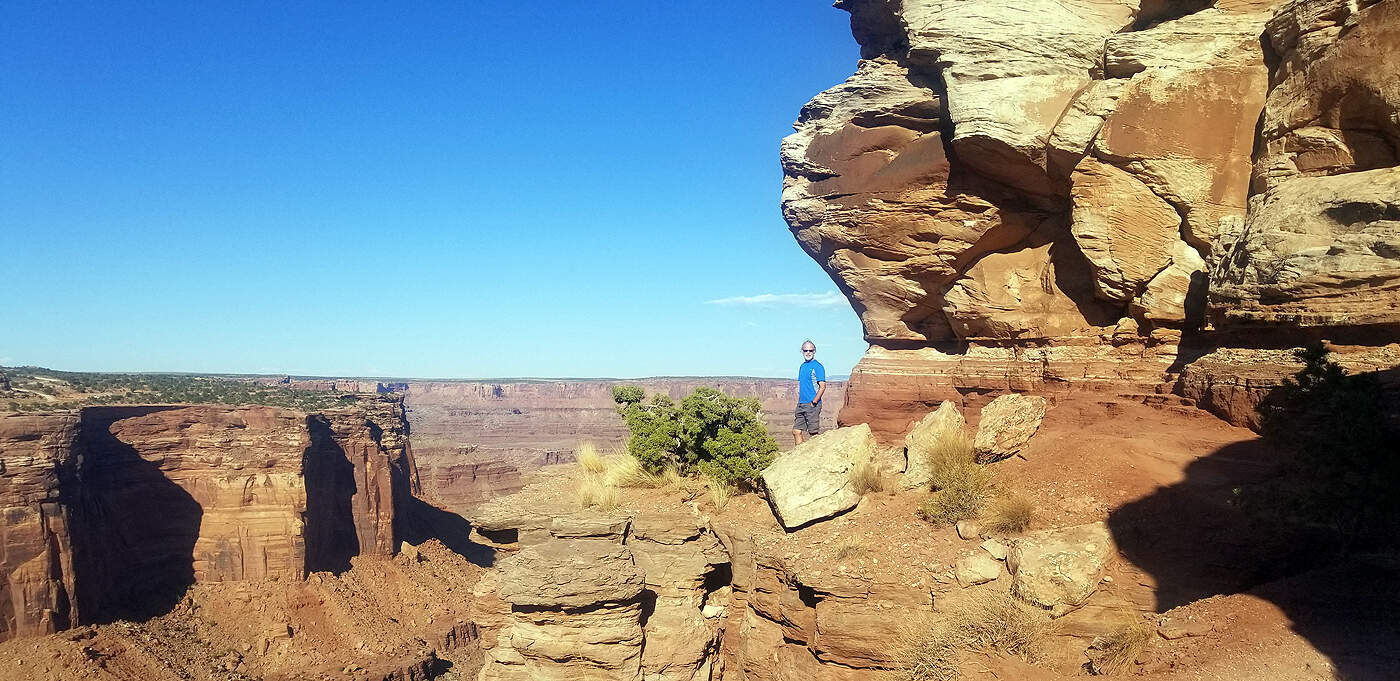
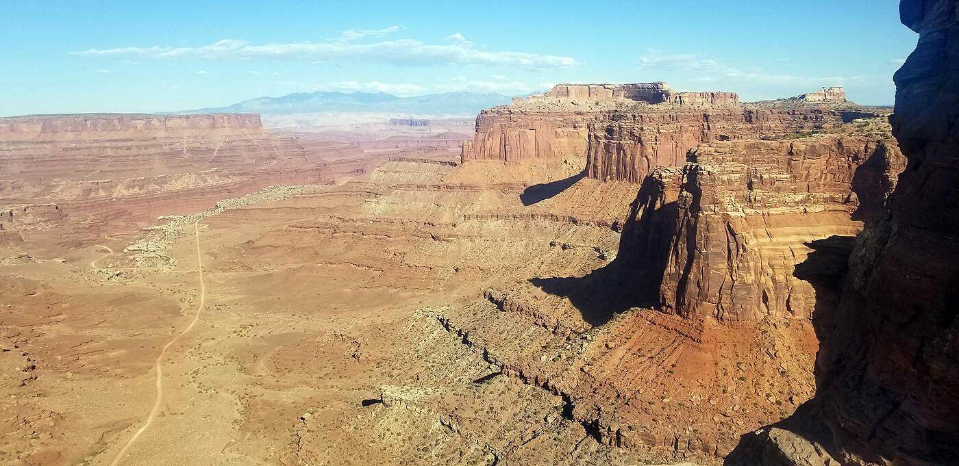
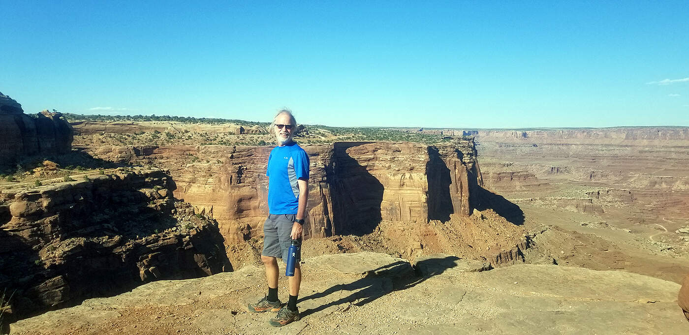
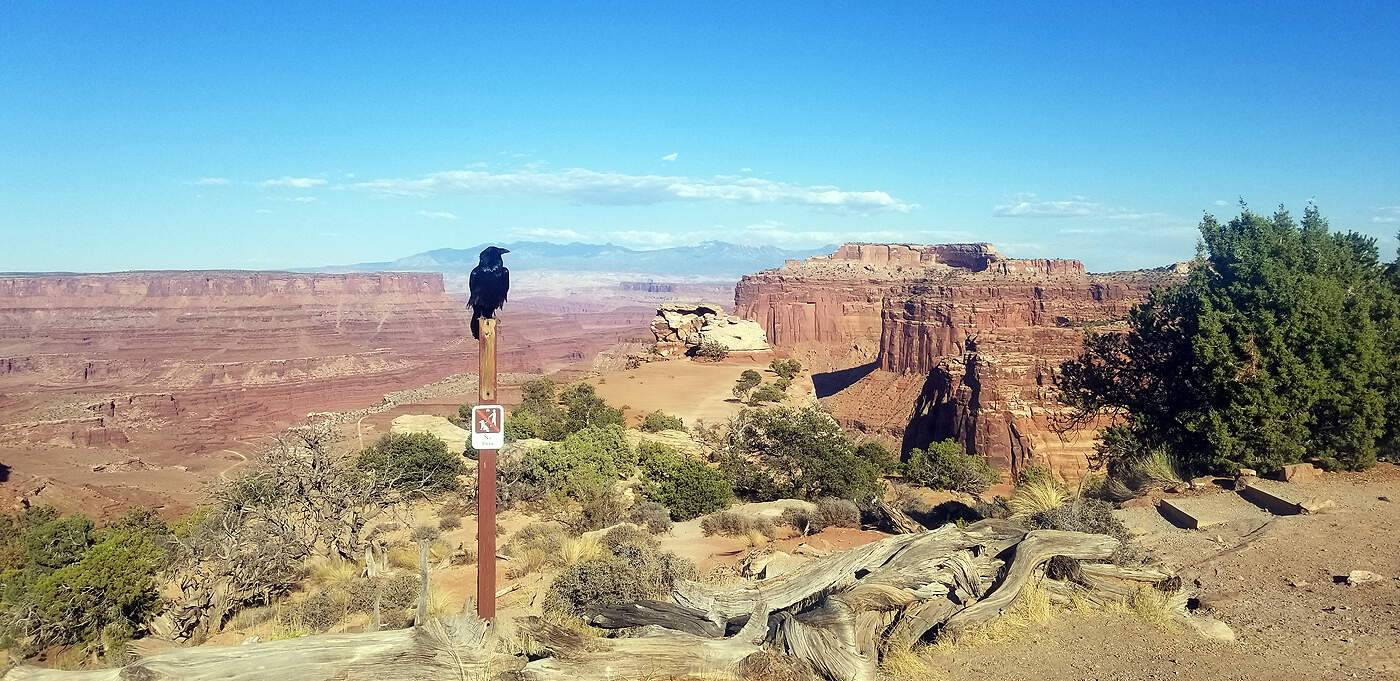
CANYONLANDS - ISLAND IN THE SKY DISTRICT
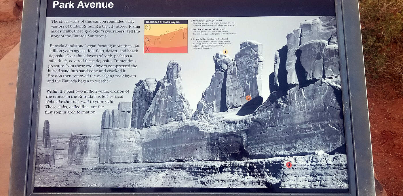
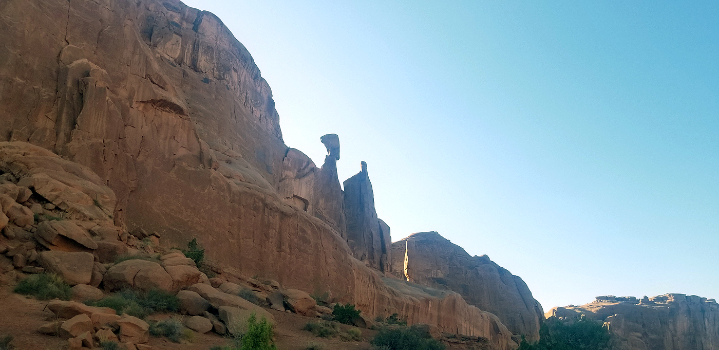
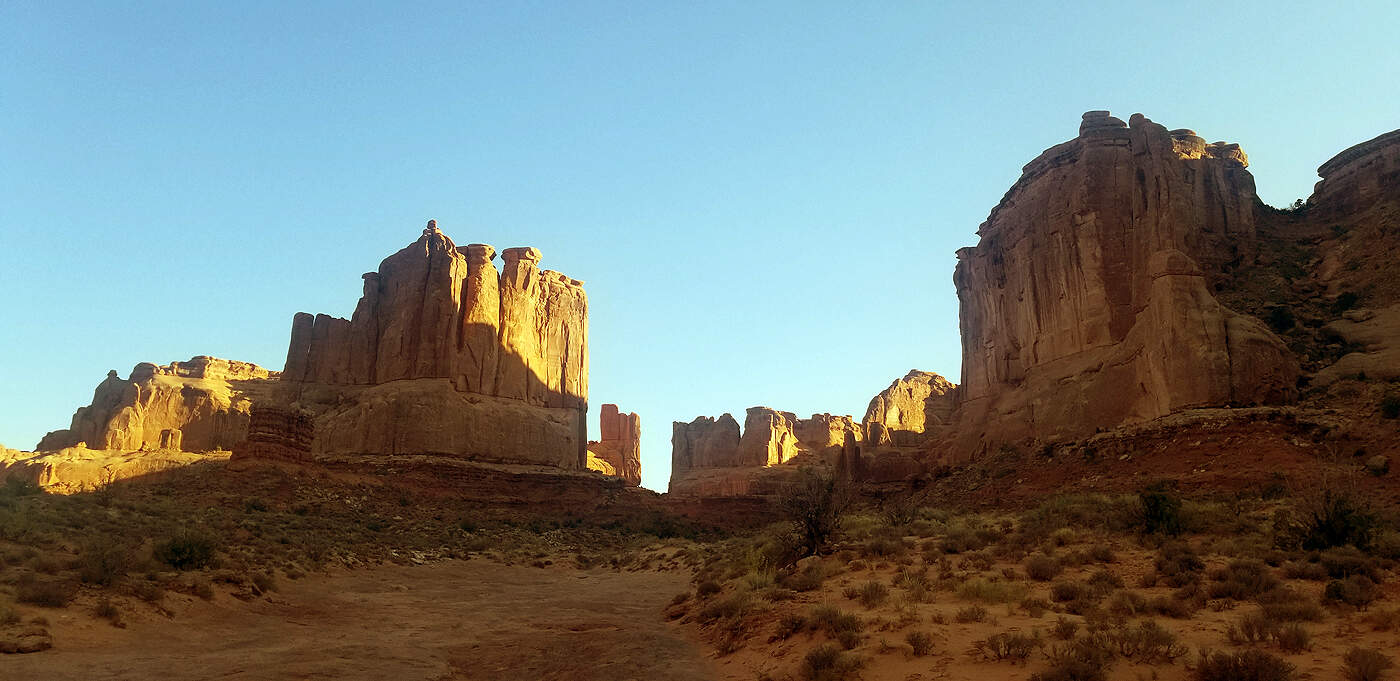
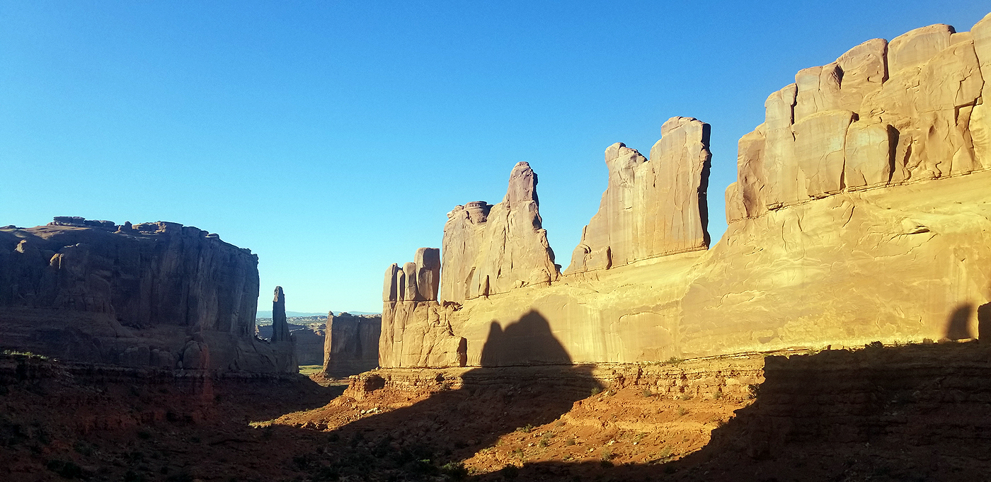
ARCHES NATIONAL PARK - PARK AVENUE HIKE
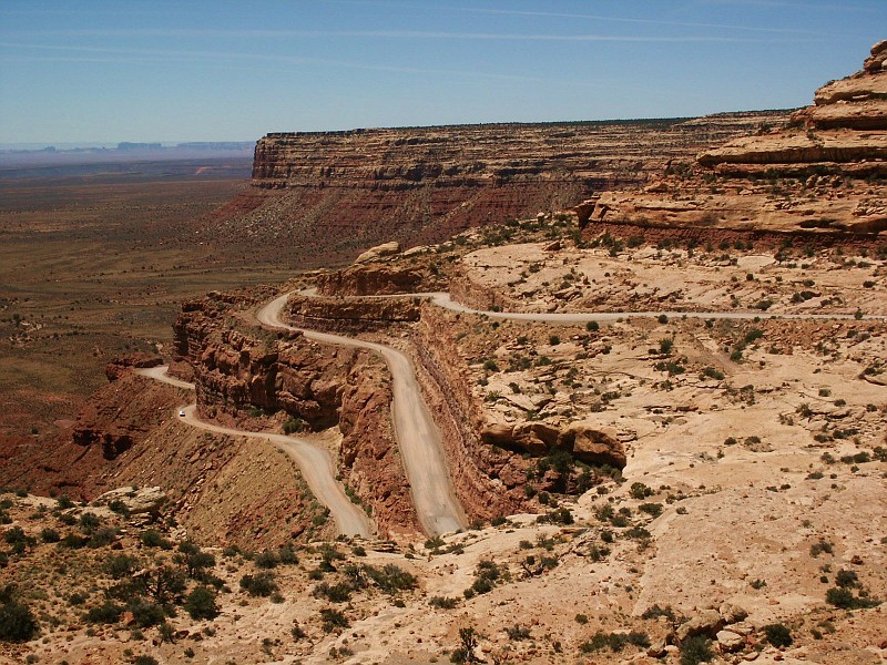
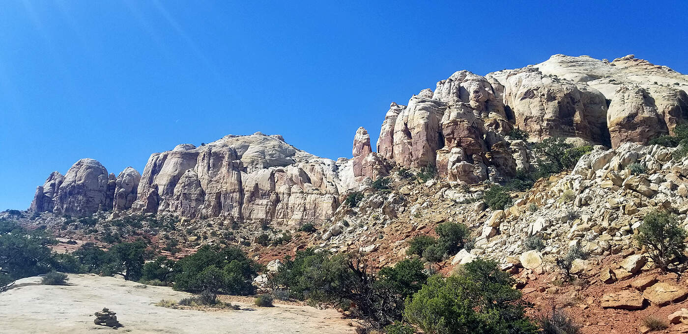
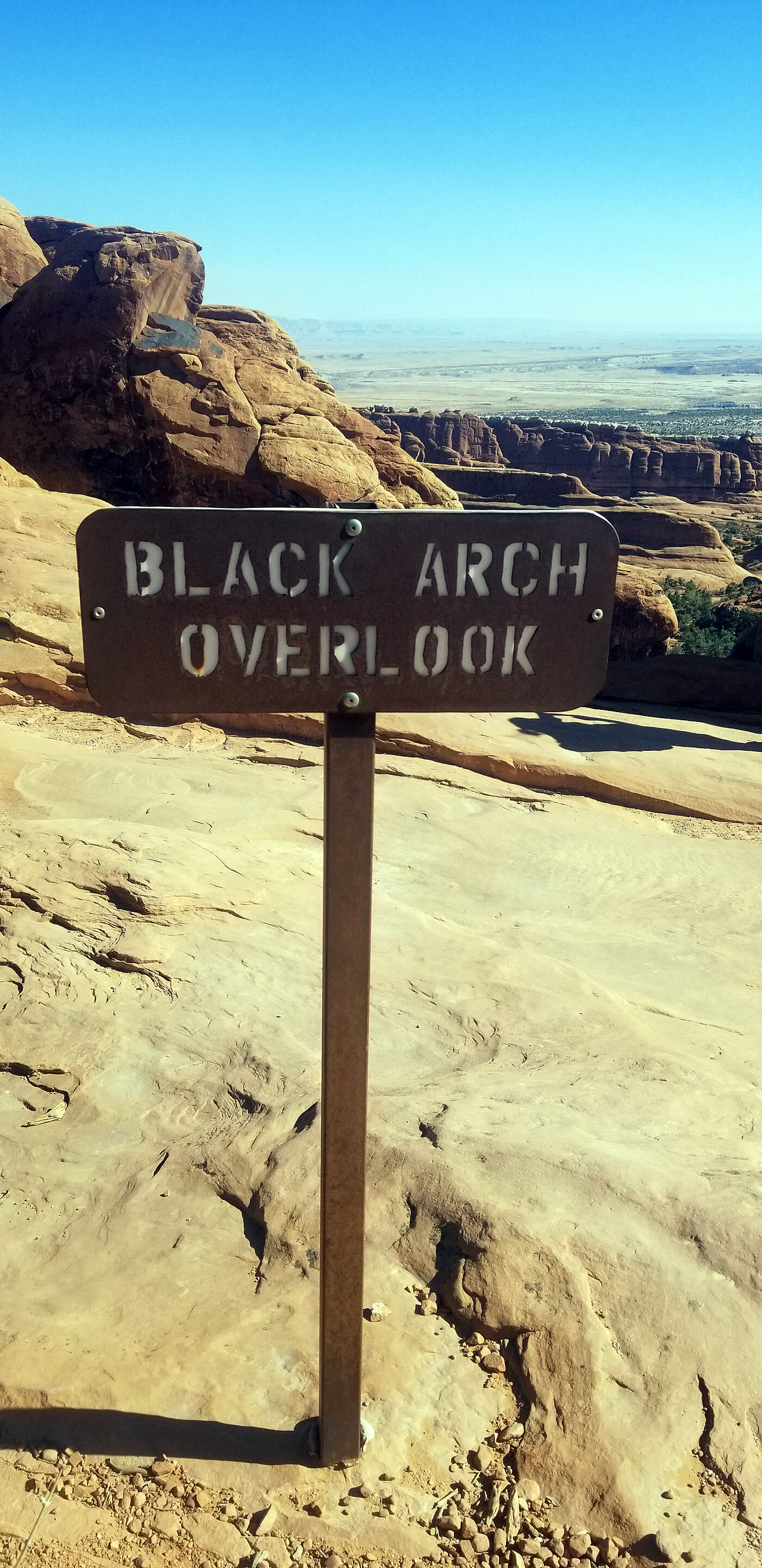
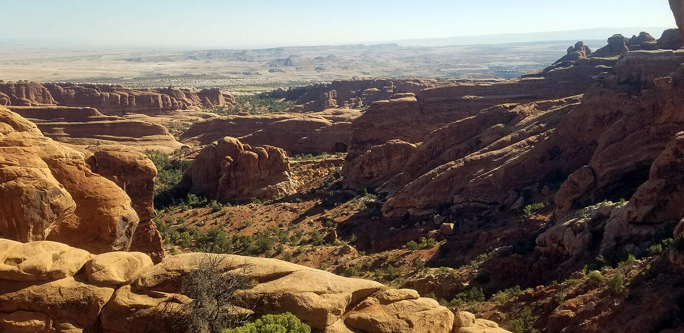
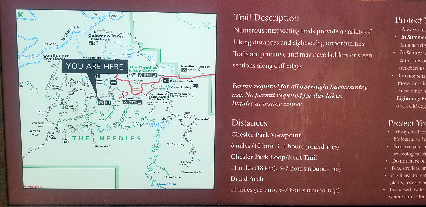
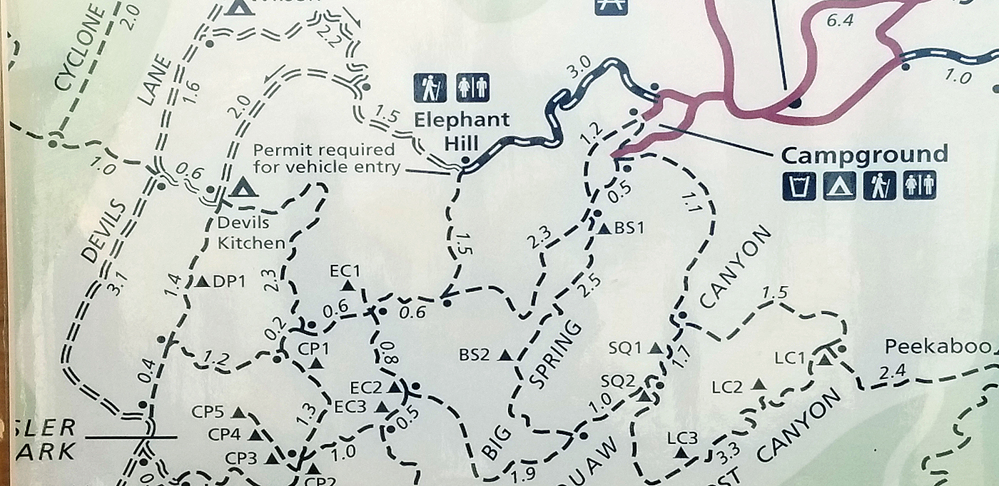
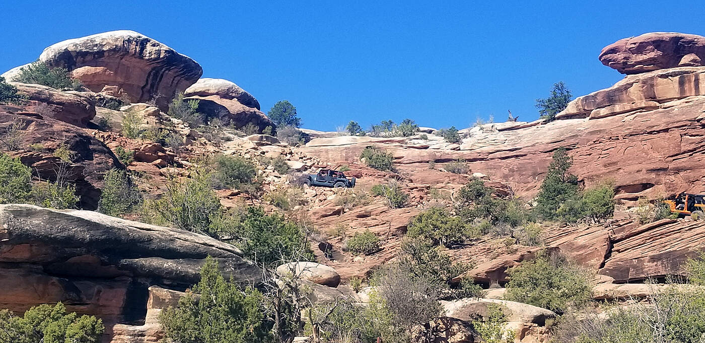
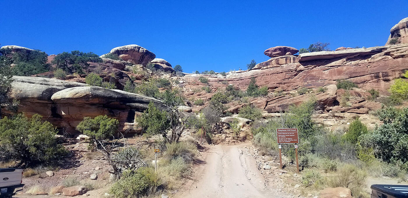
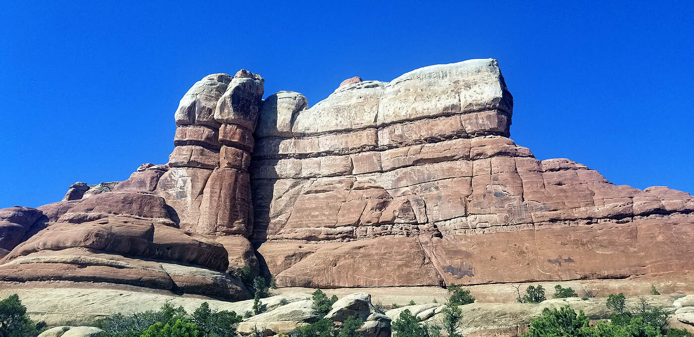
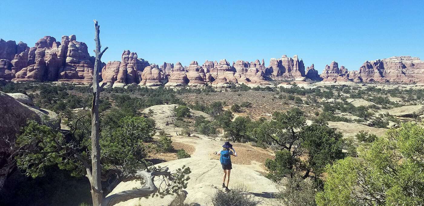
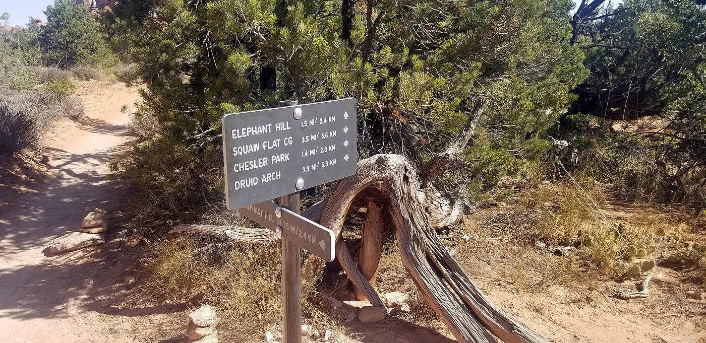
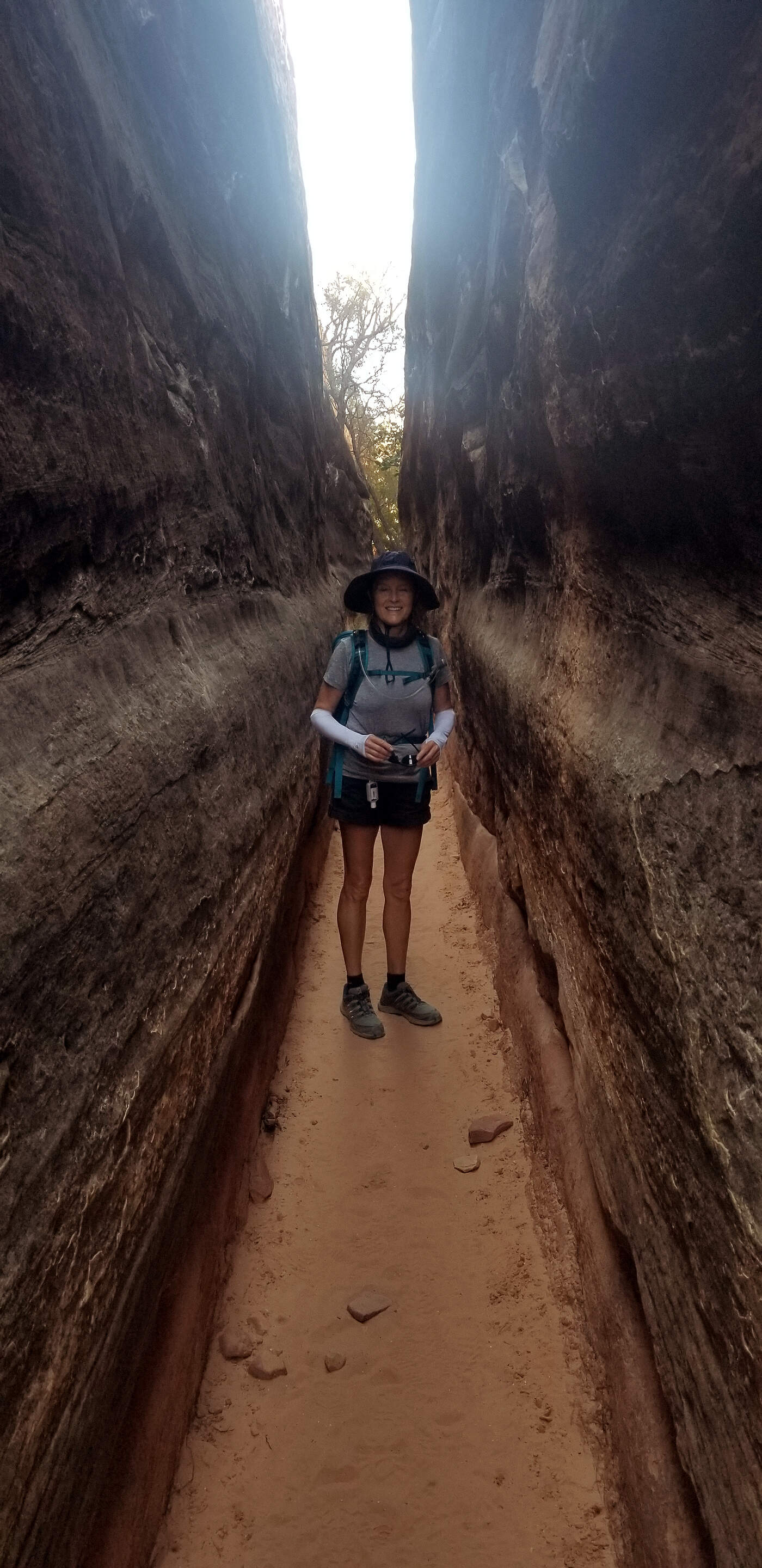
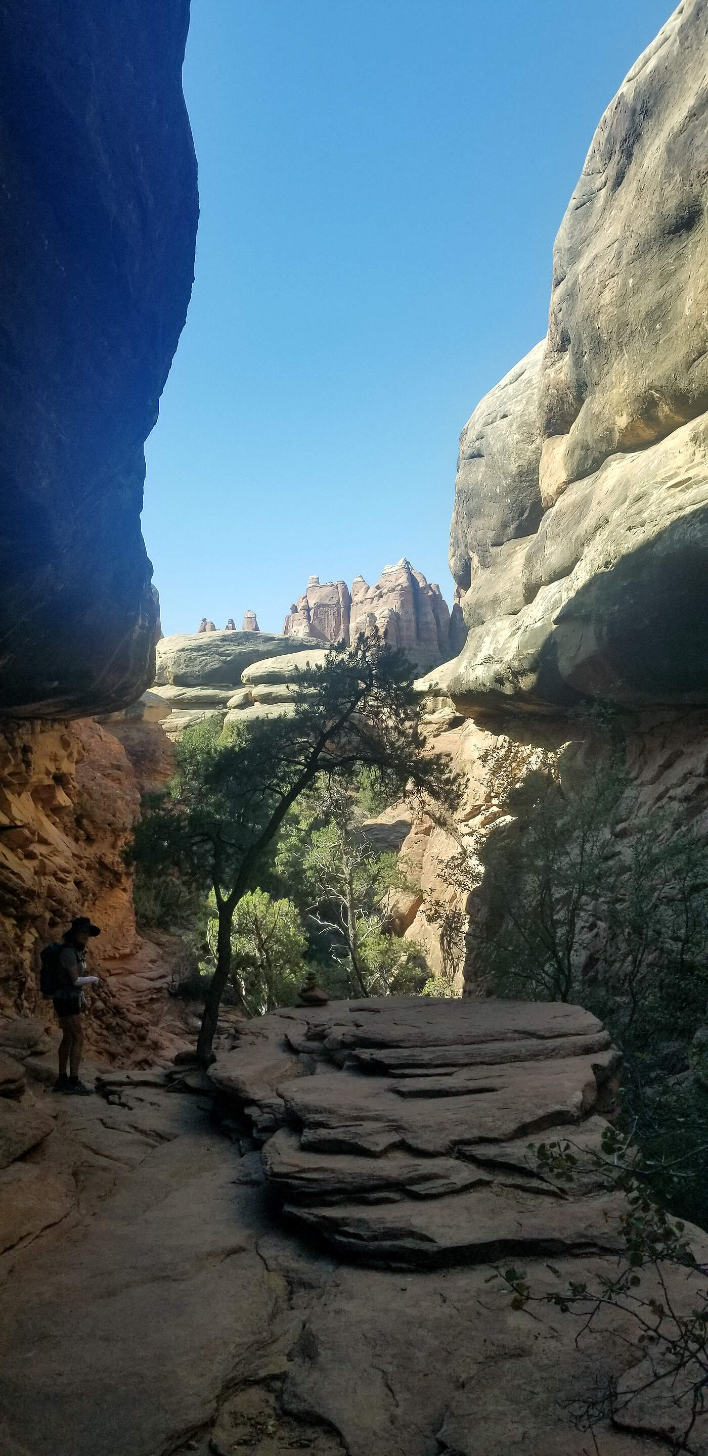
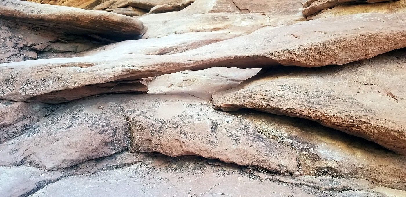
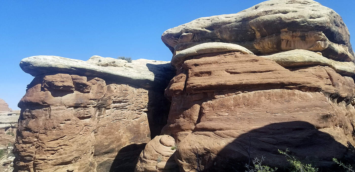
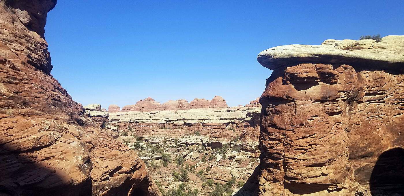
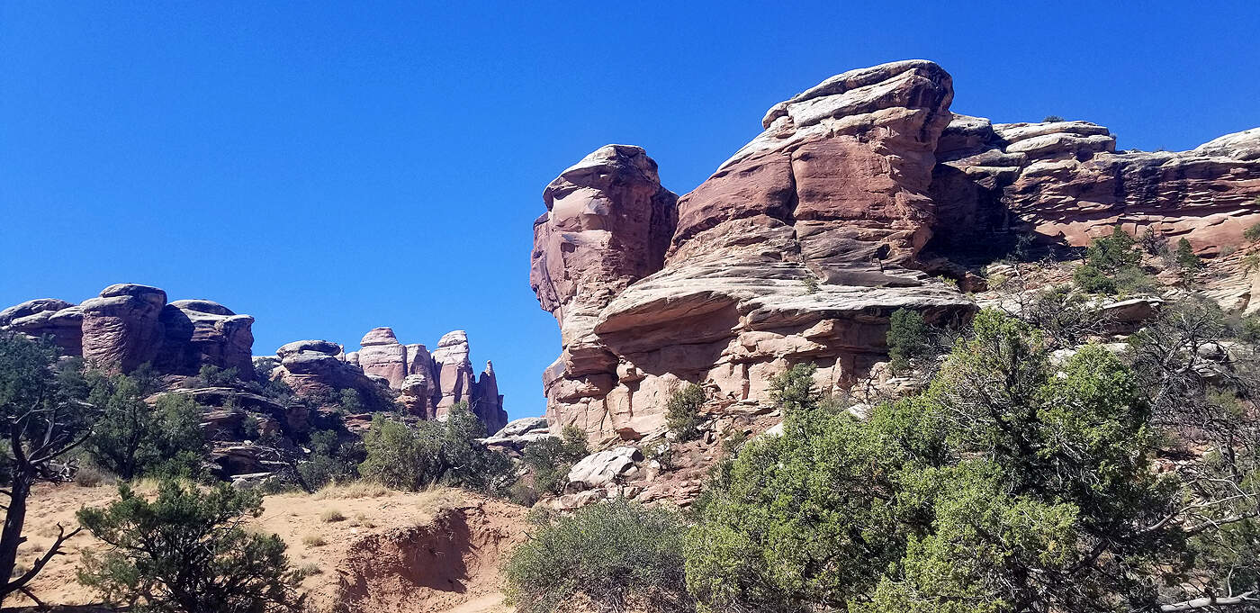
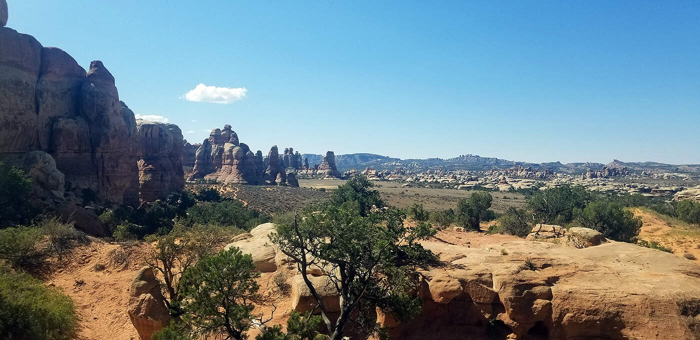
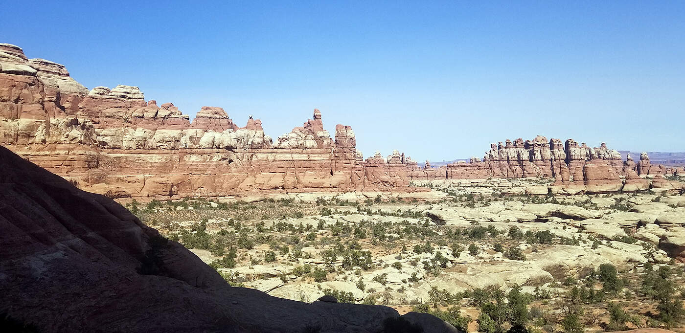
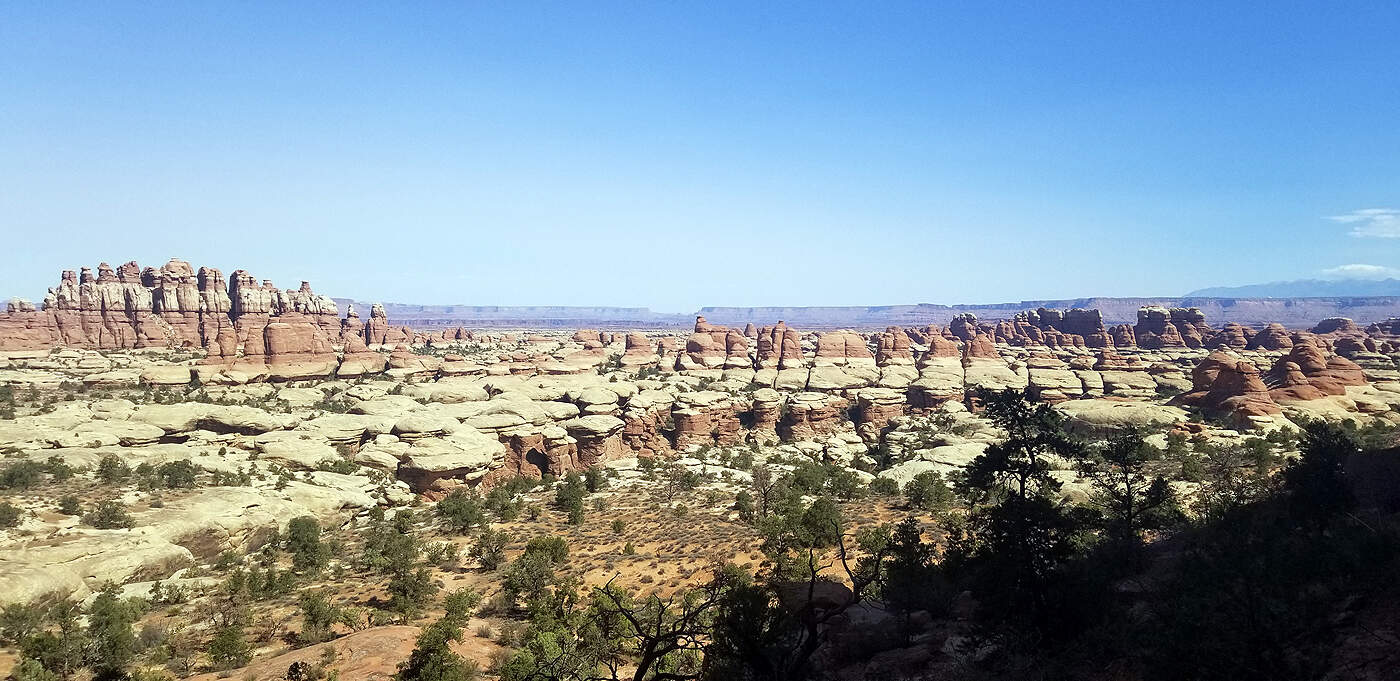
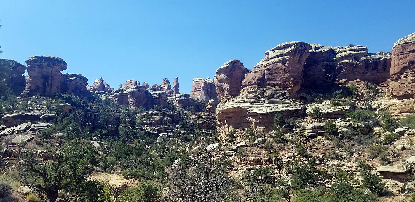
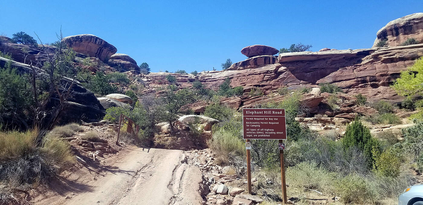
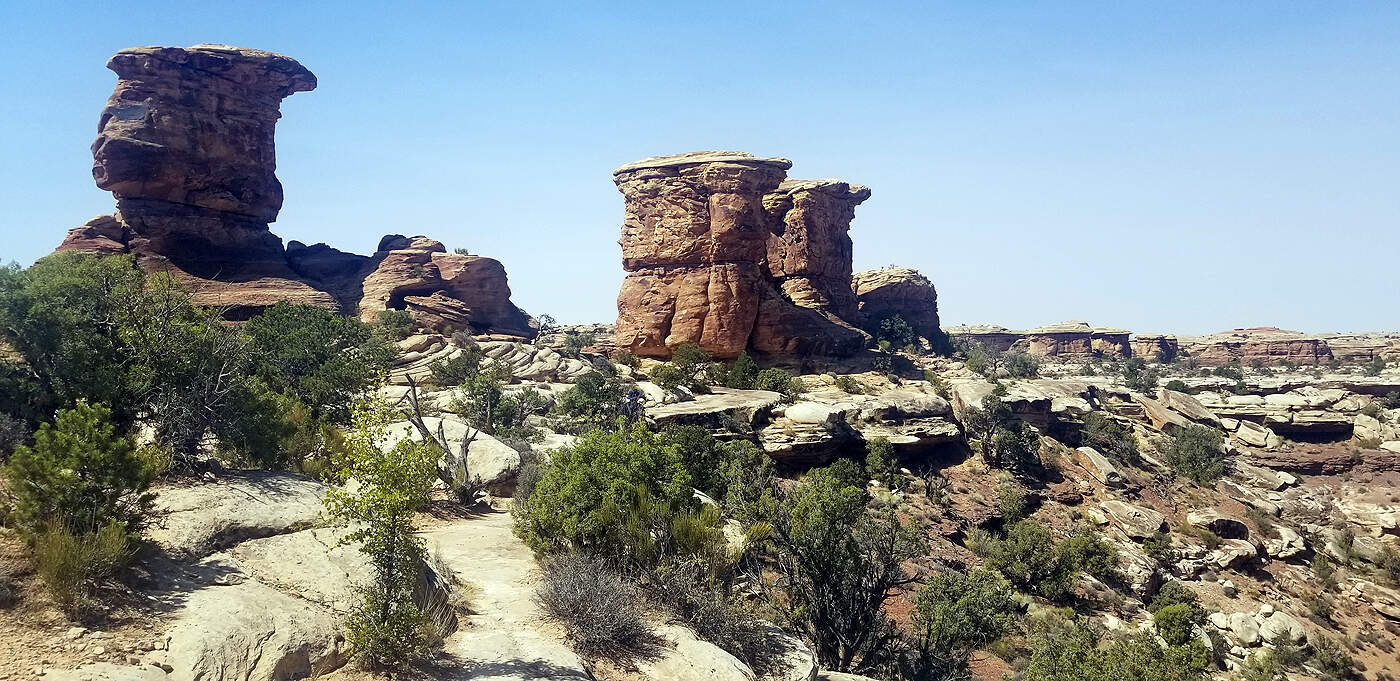
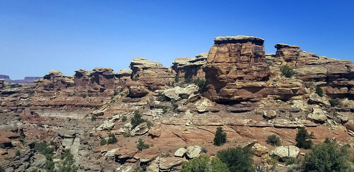
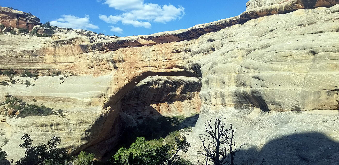
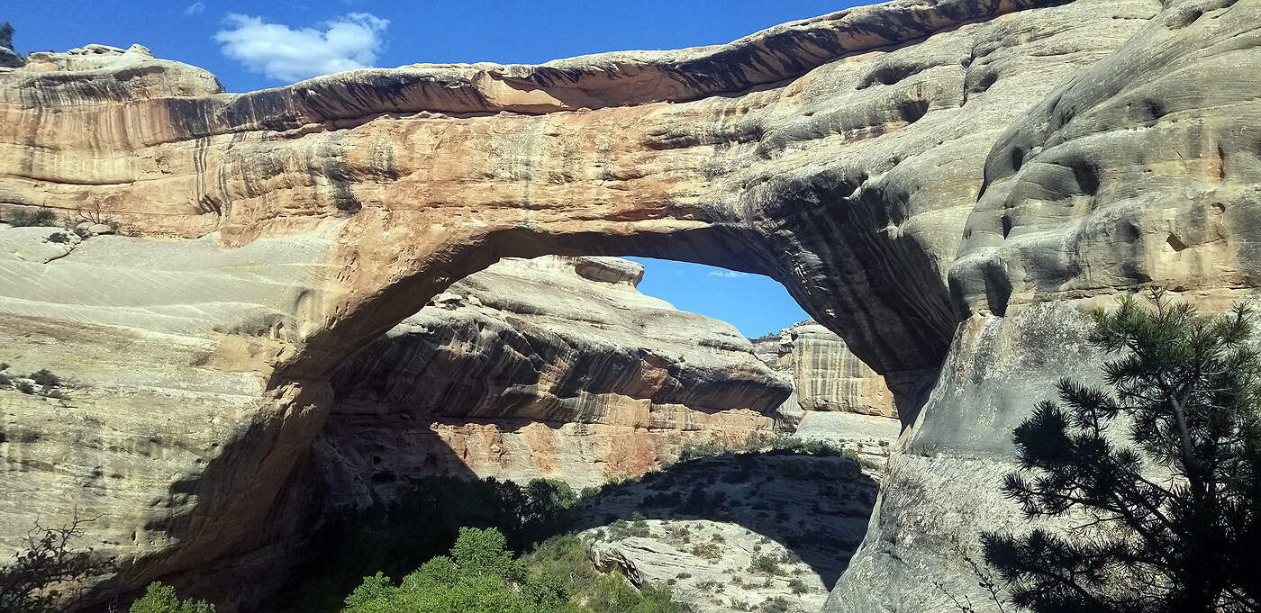
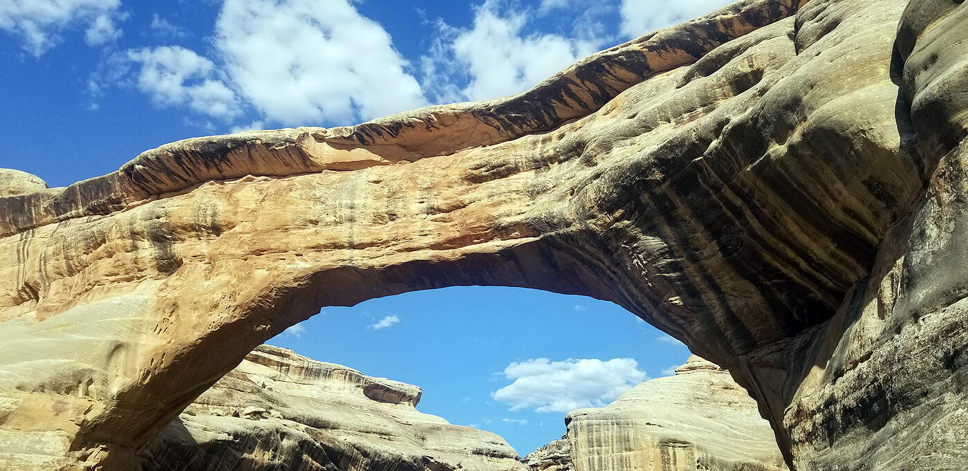
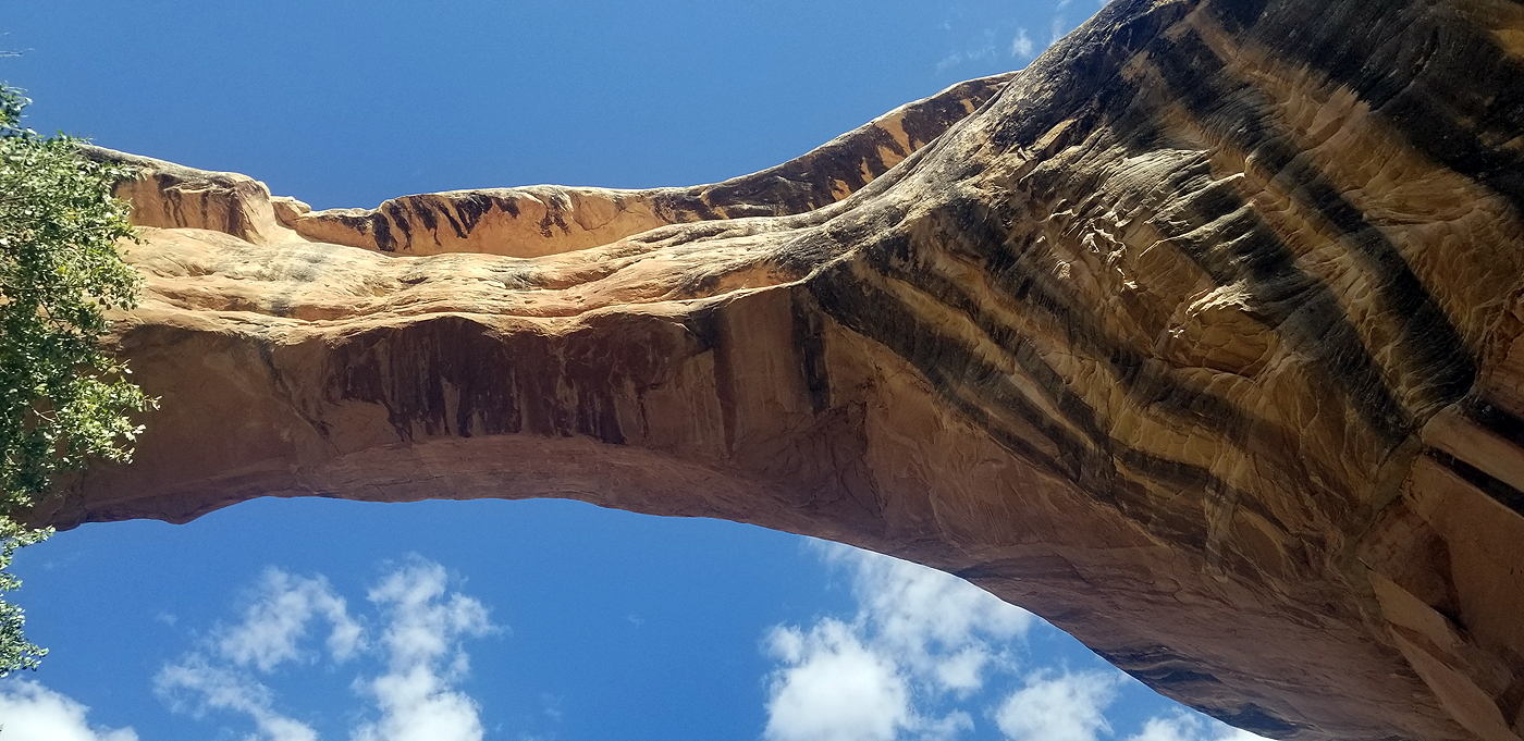
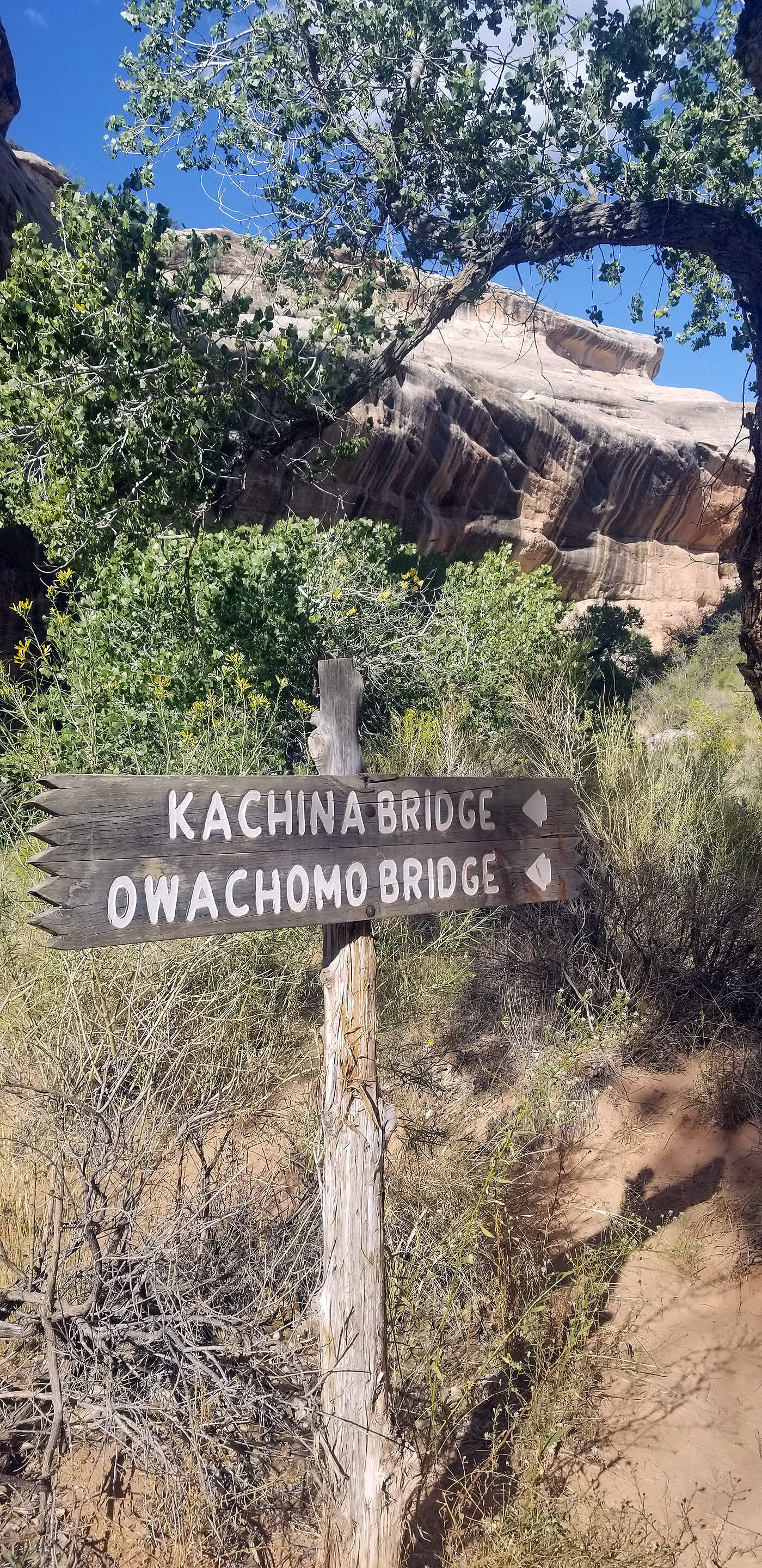
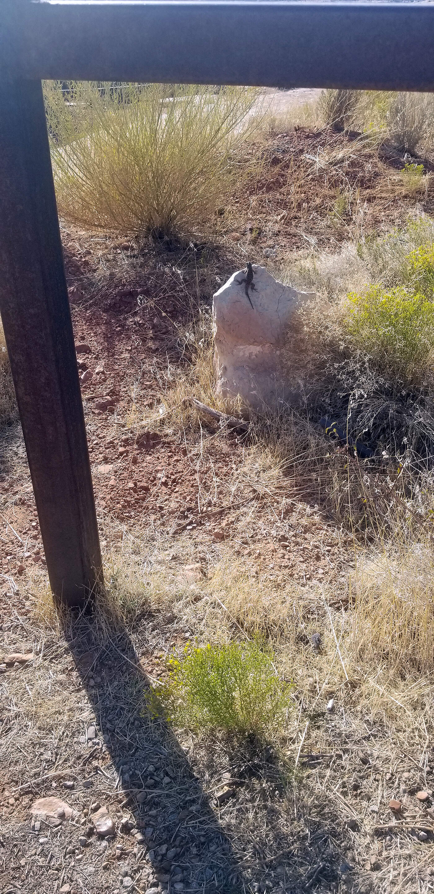
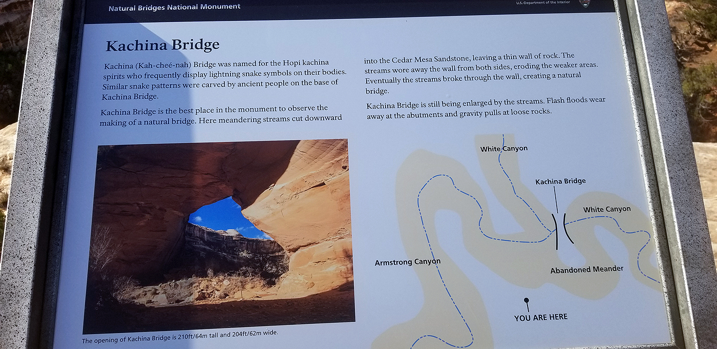
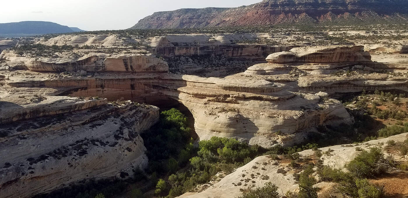
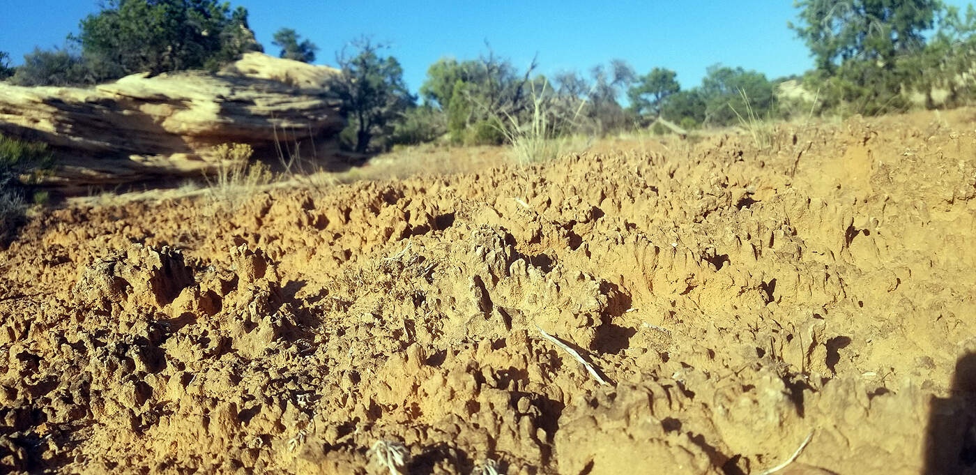
DAY 10: CANYONLANDS - NEEDLES DISTRICT & NATURAL BRIDGES NAT'L PARK
Total hiking miles this day: ~10.1 miles
CANYONLANDS - NEEDLES DISTRICT
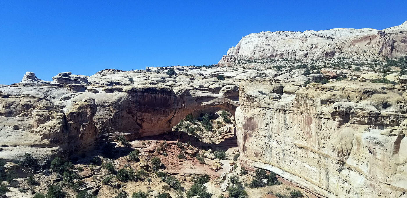
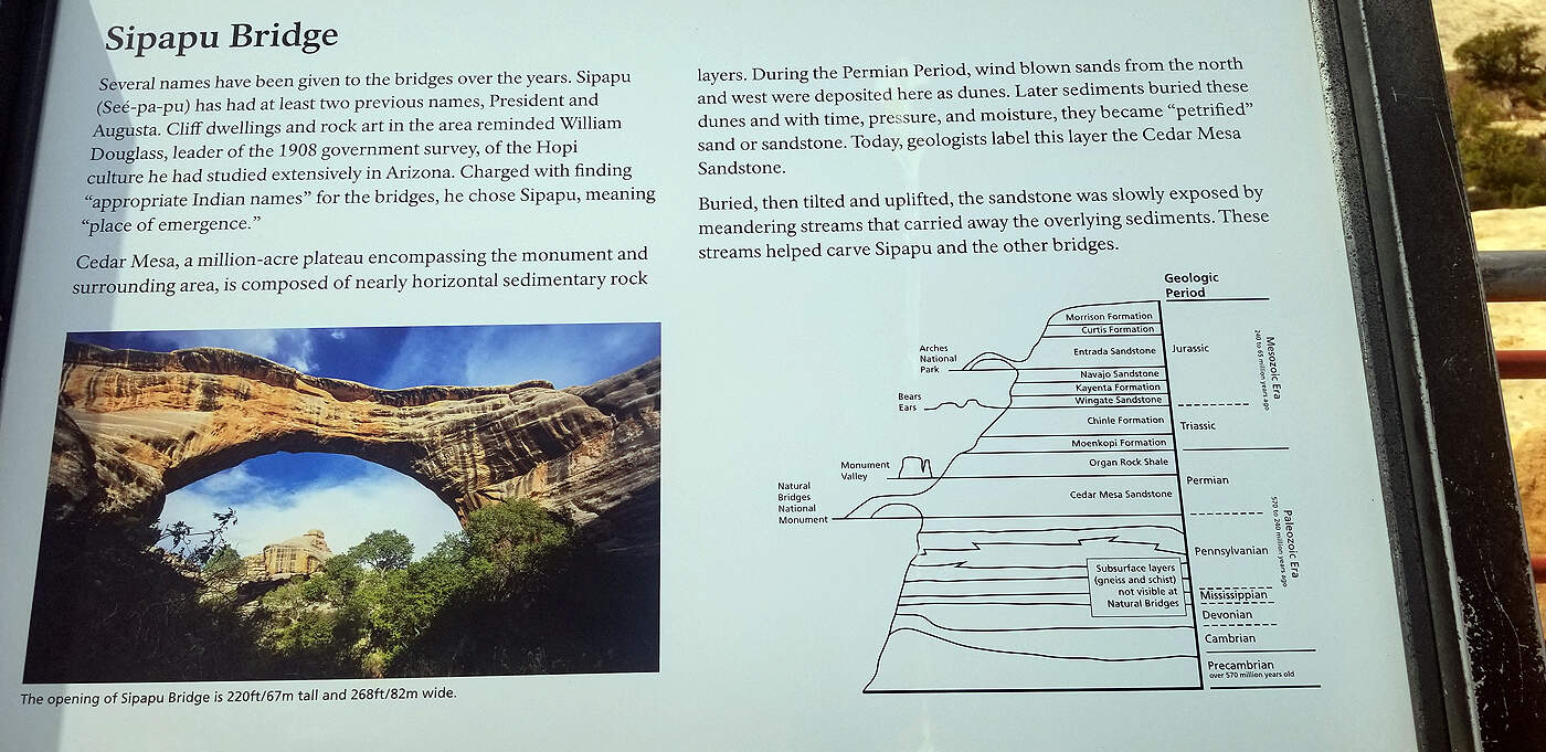
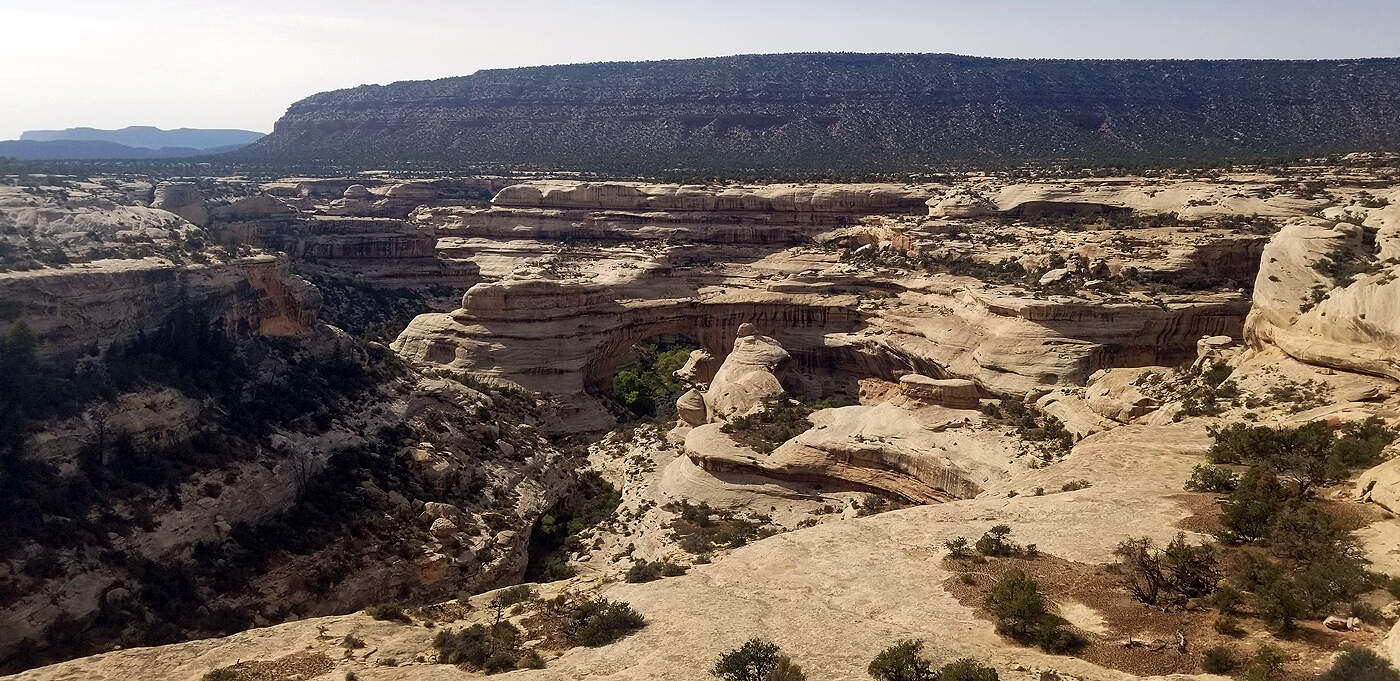
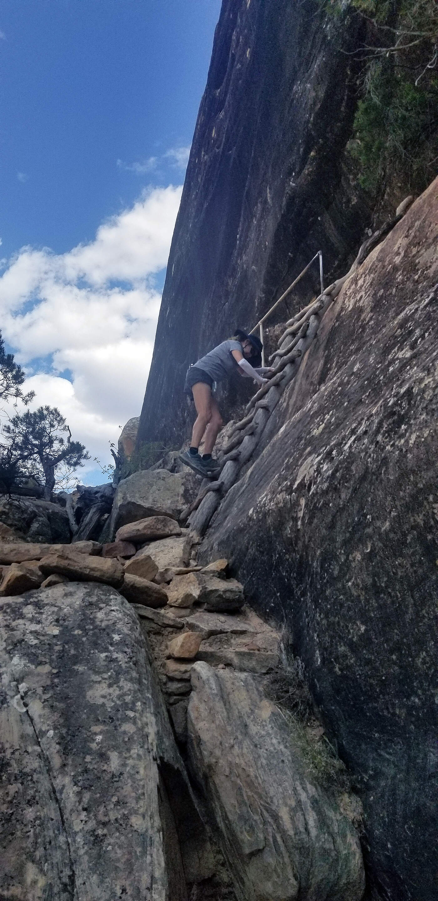
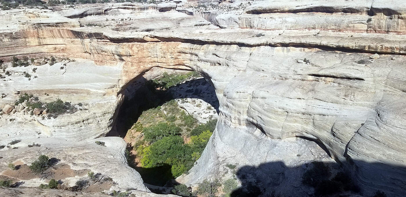
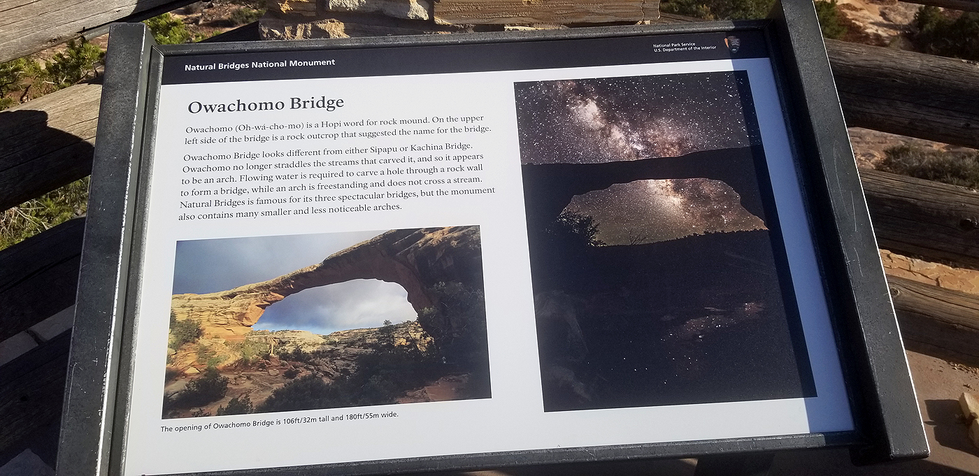
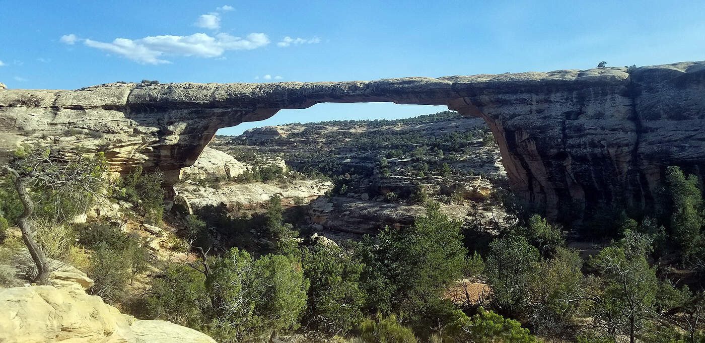
NATURAL BRIDGES NATIONAL PARK
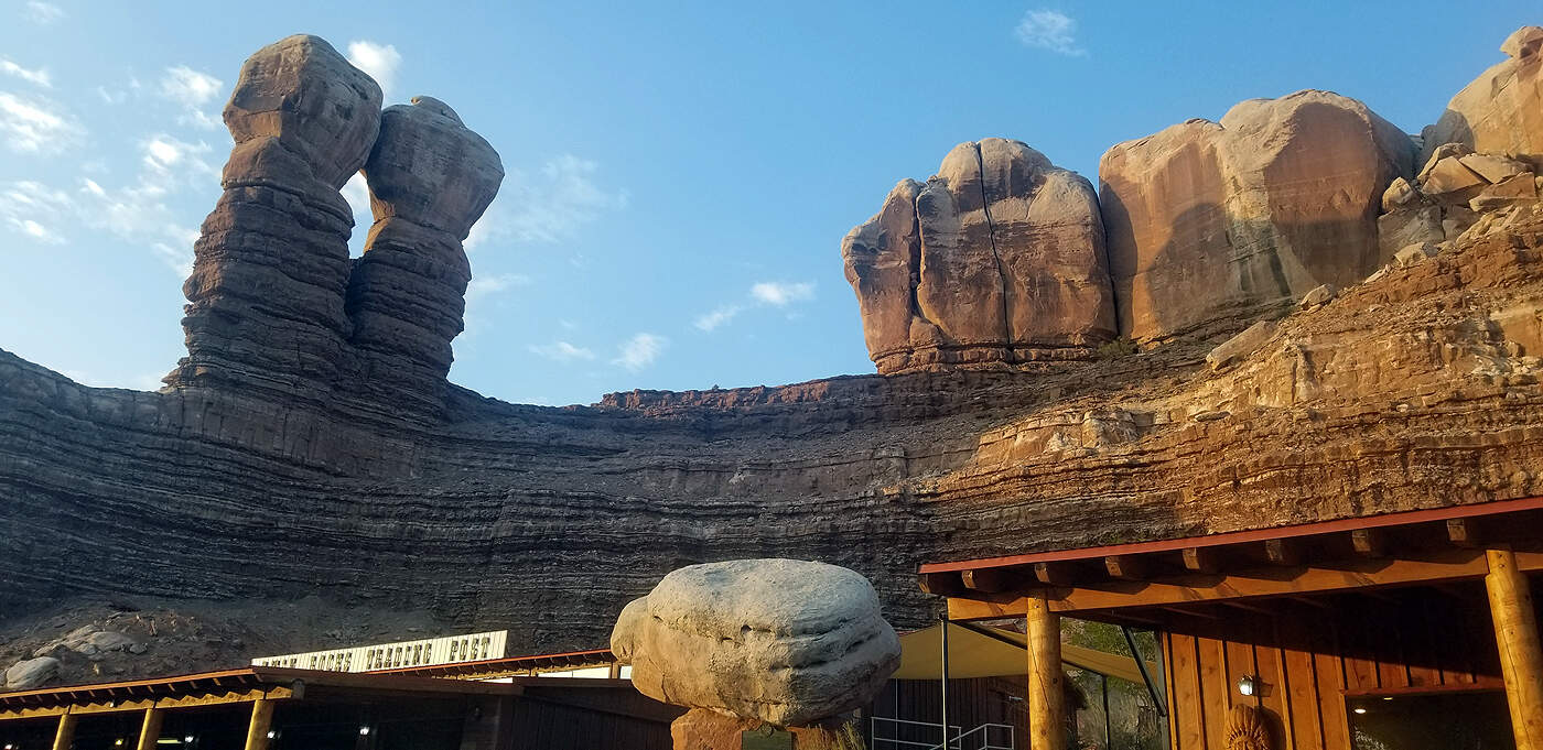
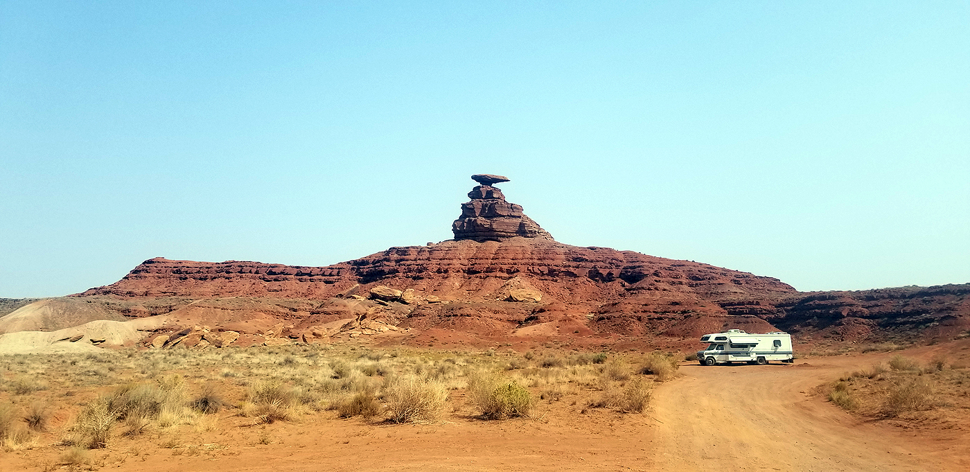
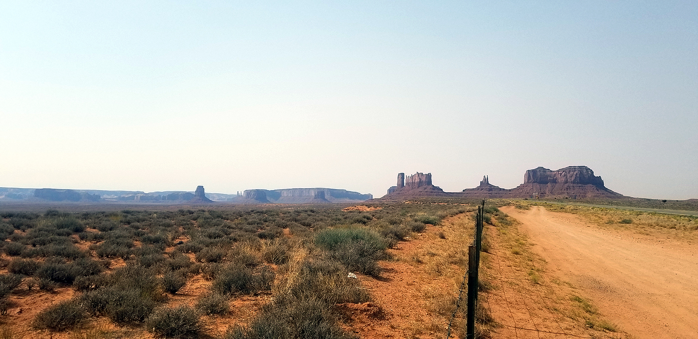
DAY 11: MEXICAN HAT ROCK, WUKOKI - ANASAZI AND SINAGUAN PEOPLE DWELLINGS, AND SUNSET CRATER VOLCANO NATIONAL MONUMENT
Total hiking miles this day: ~5.7 miles
Mexican Hat Rock is very cool looking from far away. Yes, from some angles it looks like a sombrero hat and from a closer yet still far view you can see how it is a massive slab of rock balanced at the tip of a pyramid shaped rock outcropping. It's amazing to see from the highway; however, as you drive closer the area is littered with trash, beer bottles and a few broken down cars. We recommend turning down the main road and pullover to take pictures. It is a big disappointment to drive up close to see it.
Due to COVID-19 all Navajo Nation land was closed so we could only take pictures from the road. Picture number 2 is courtesy of Wikipedia.
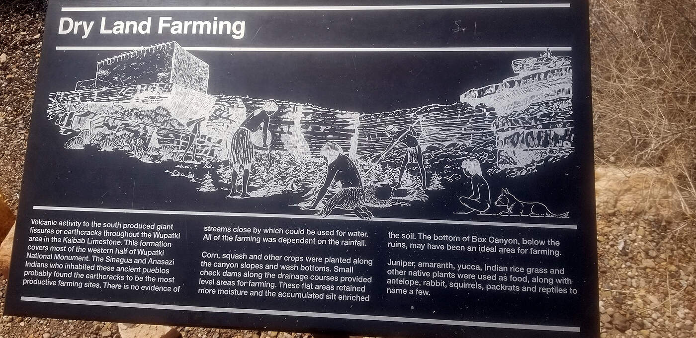
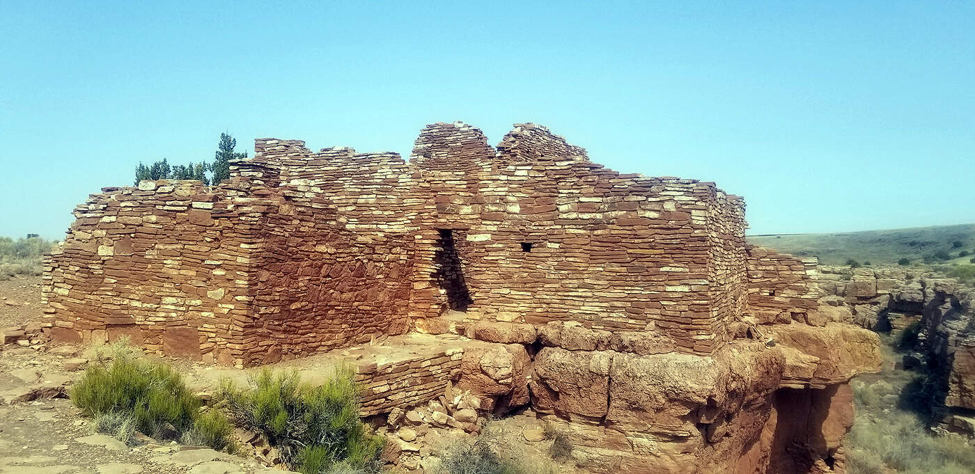
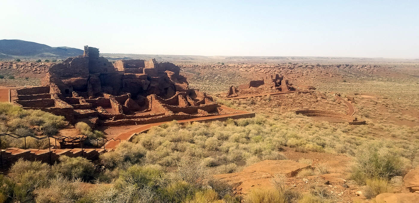
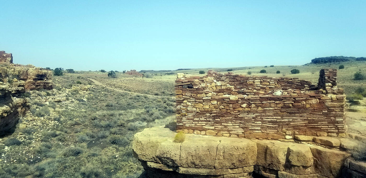
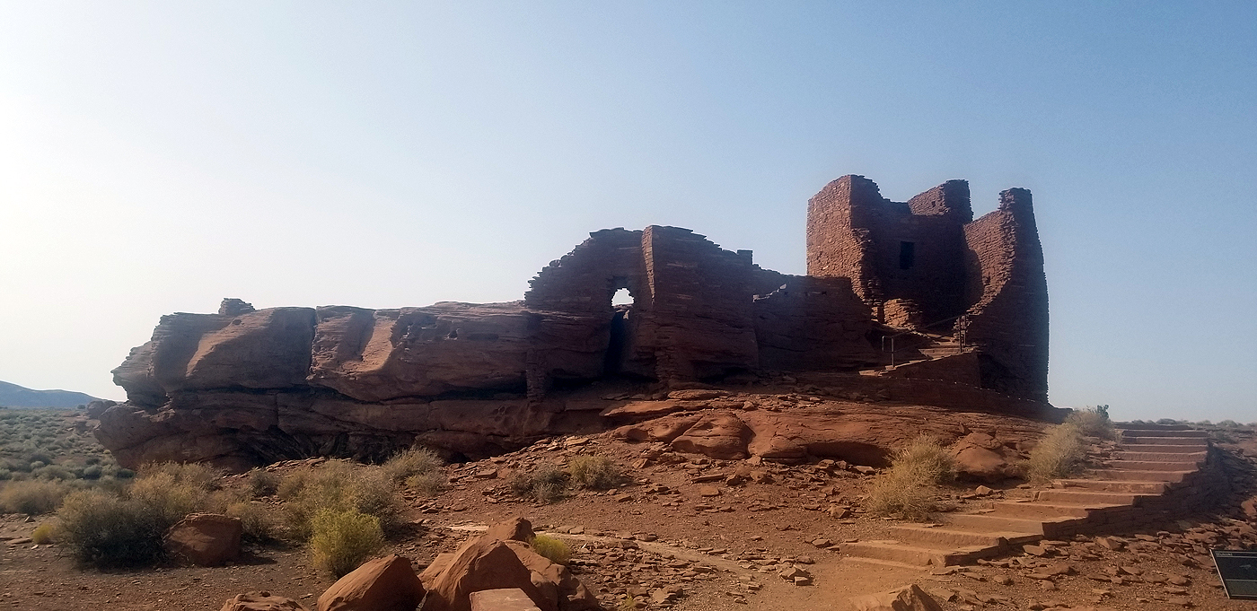
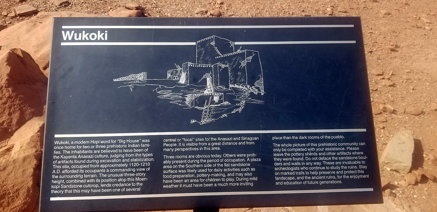
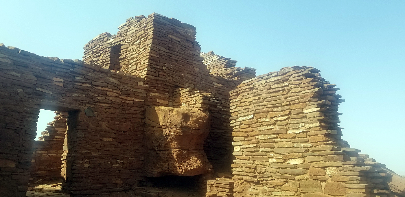
WUKOKI: ANASAZI & SINAGUAN DWELLINGS
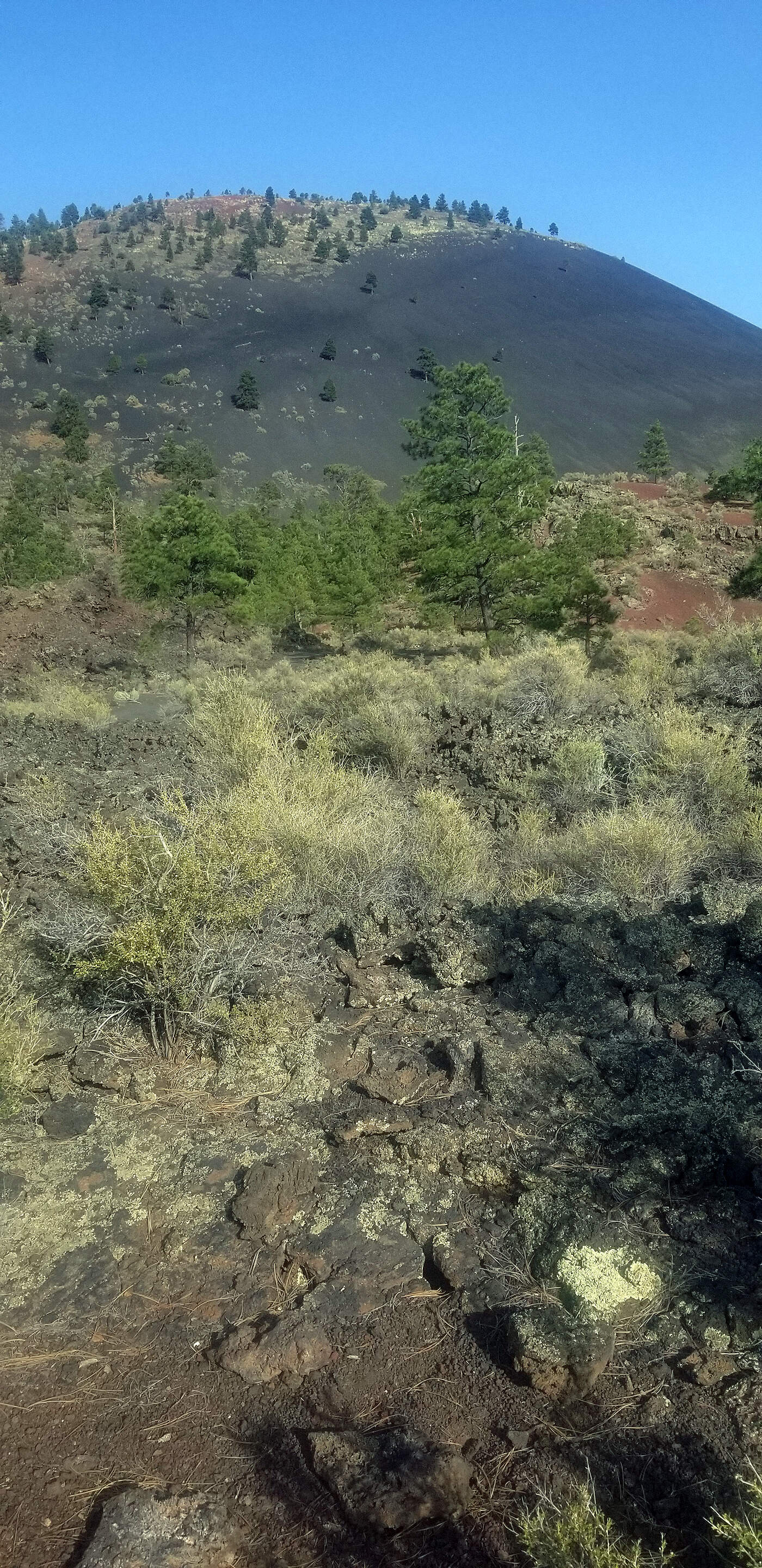
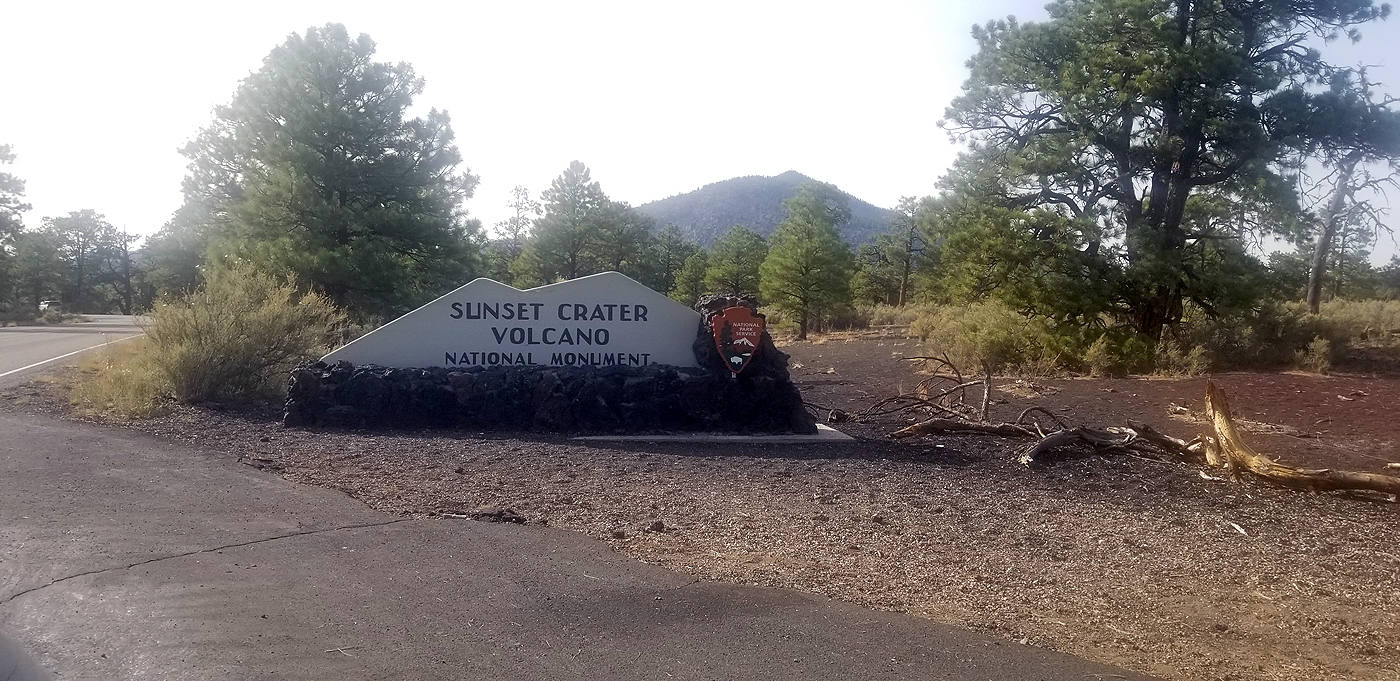
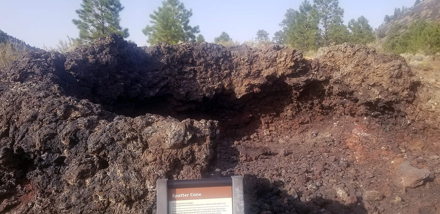
SUNSET CRATER VOLCANO NATIONAL MONUMENT
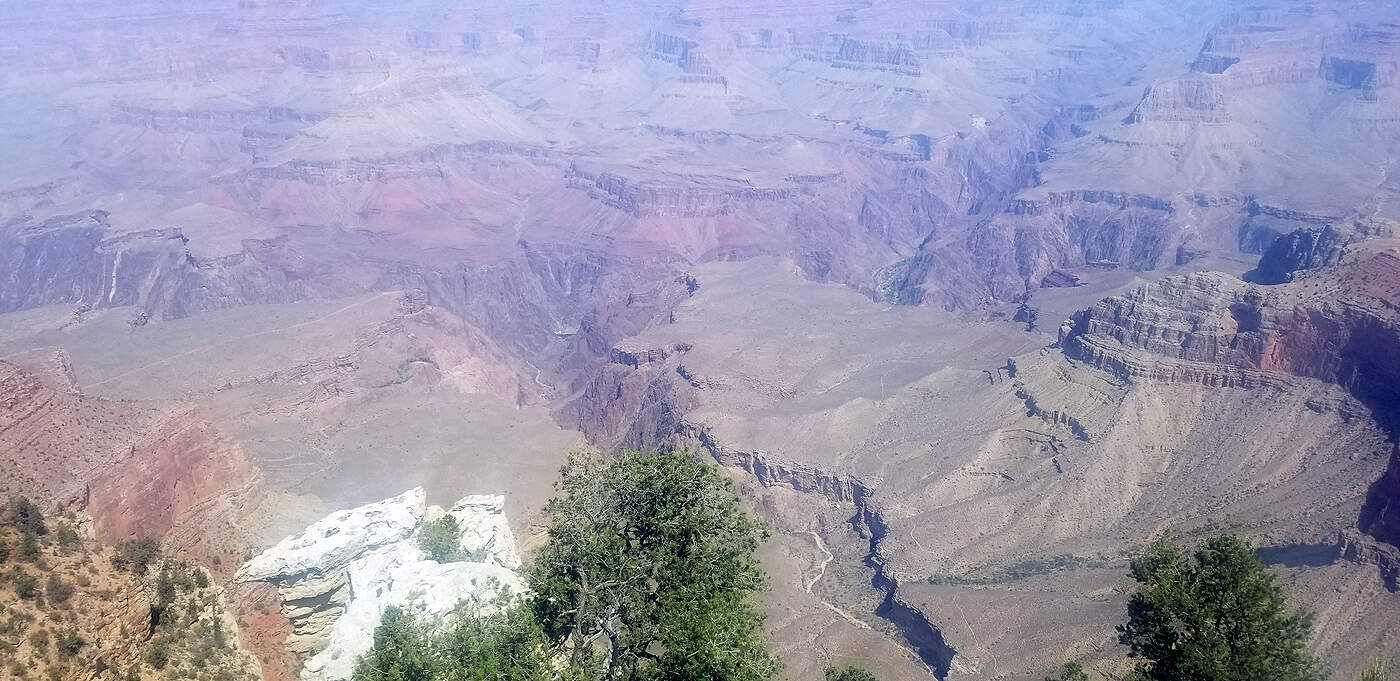
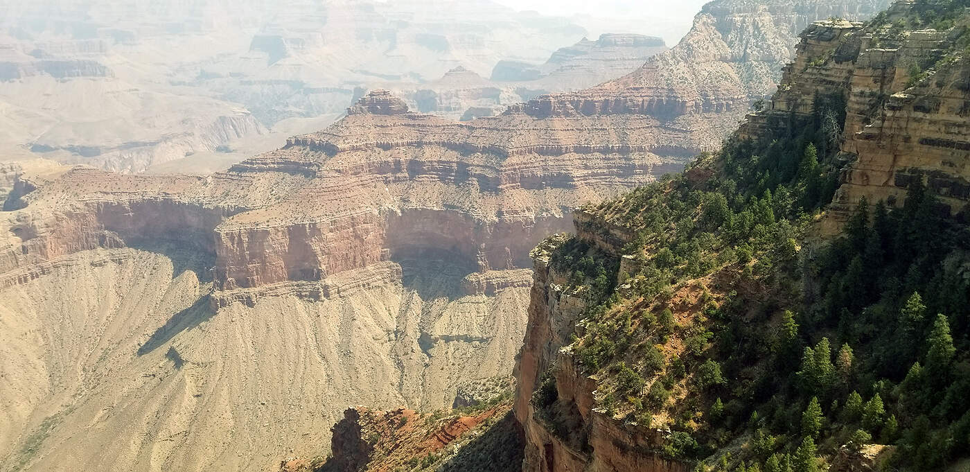
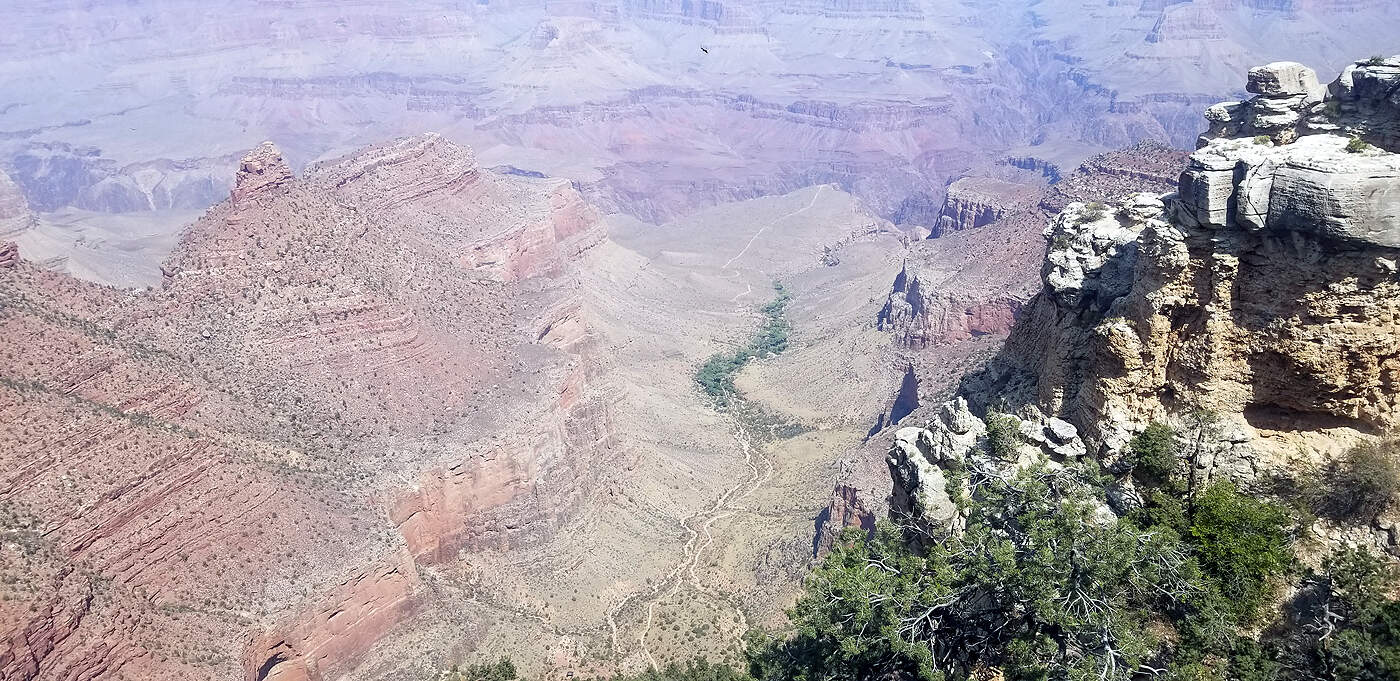
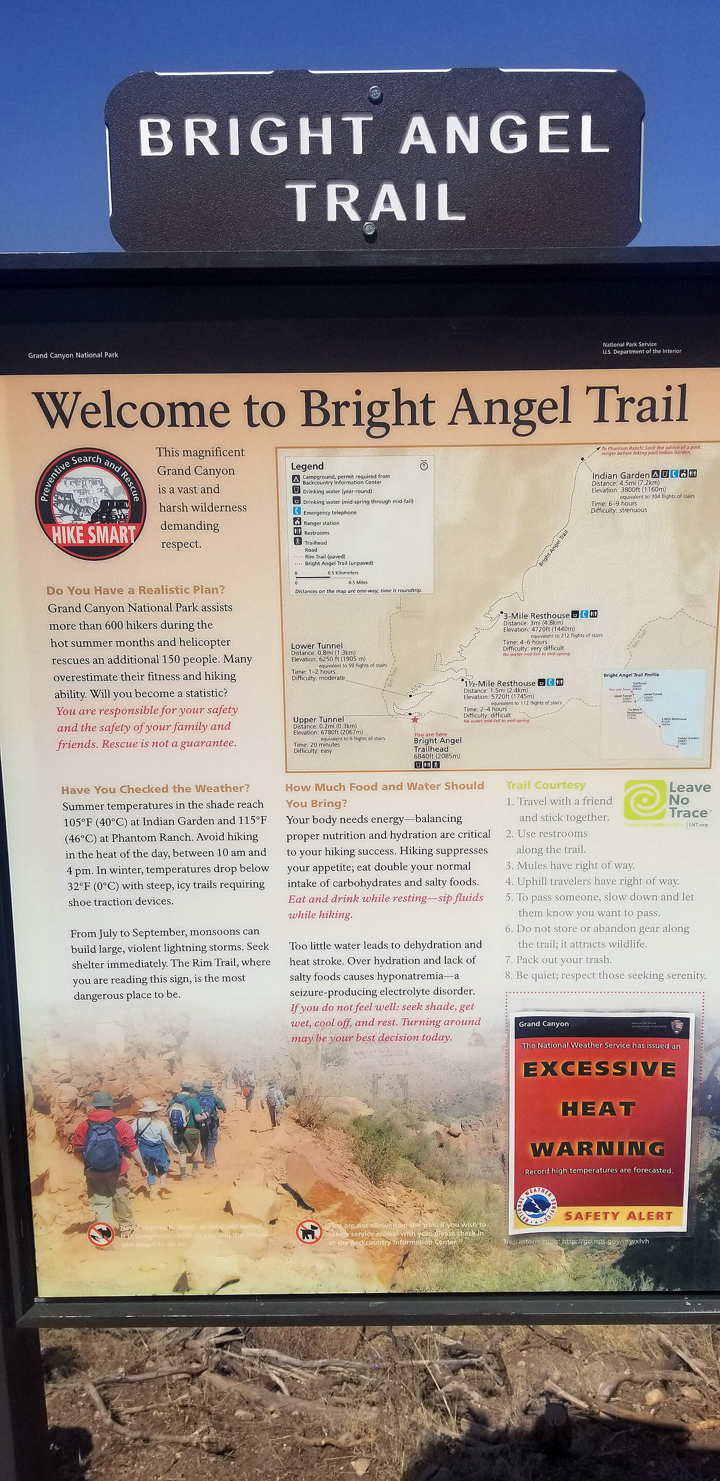
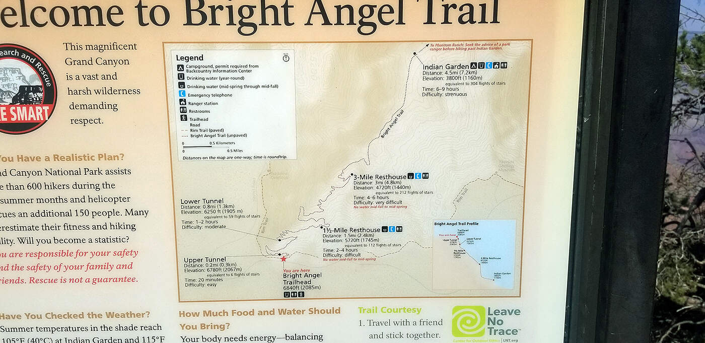
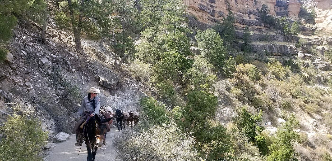
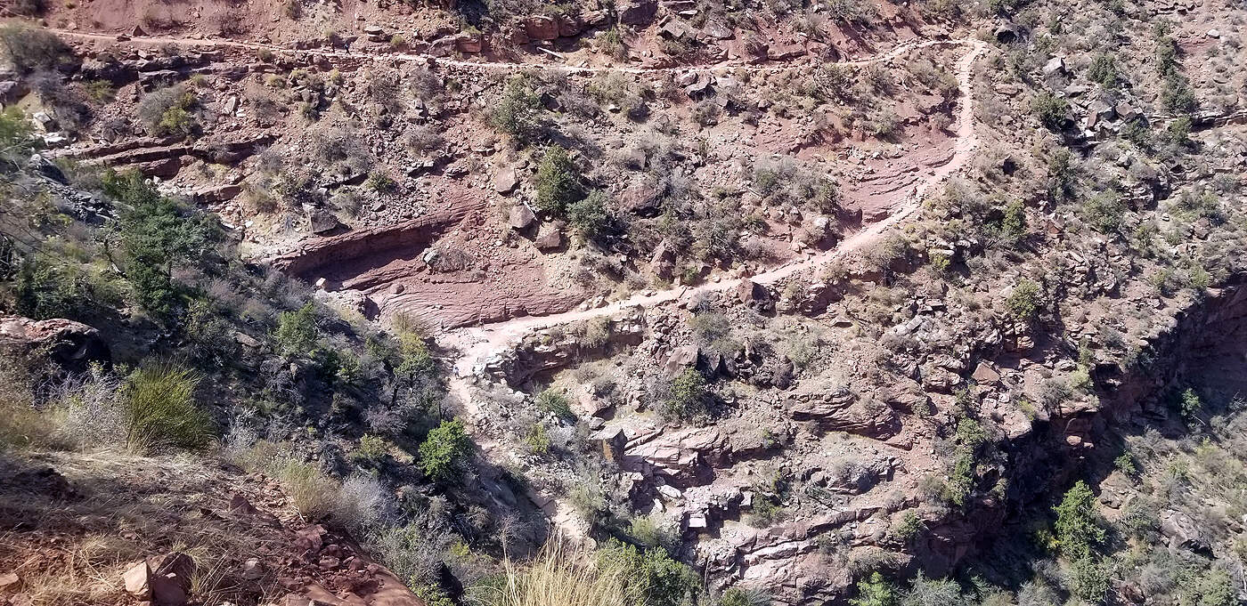
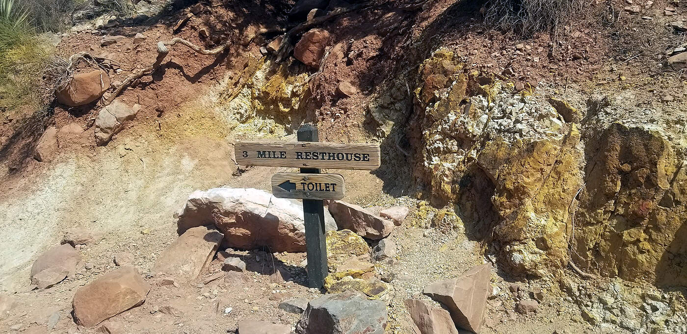
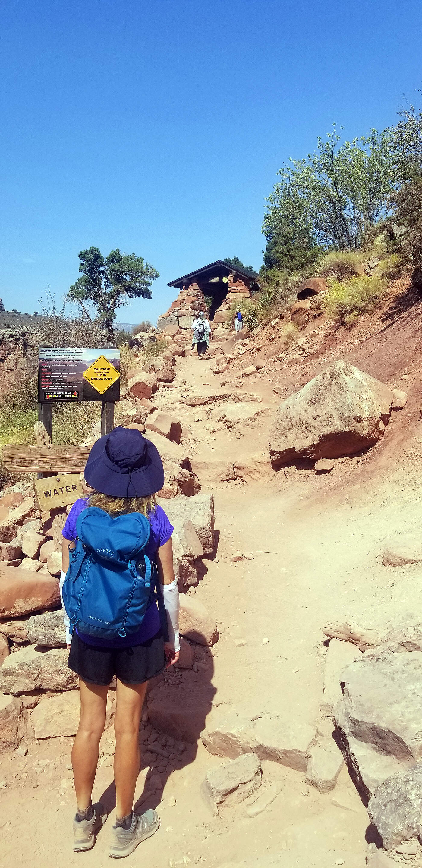
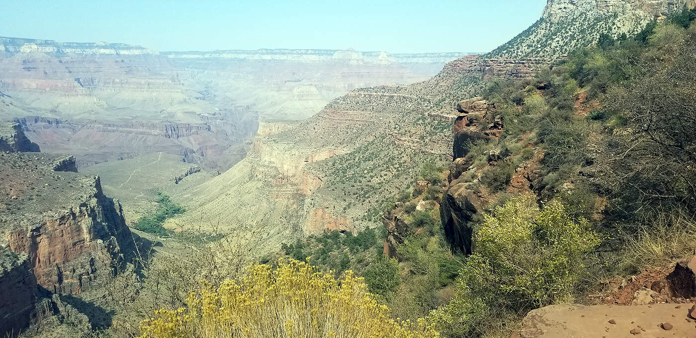
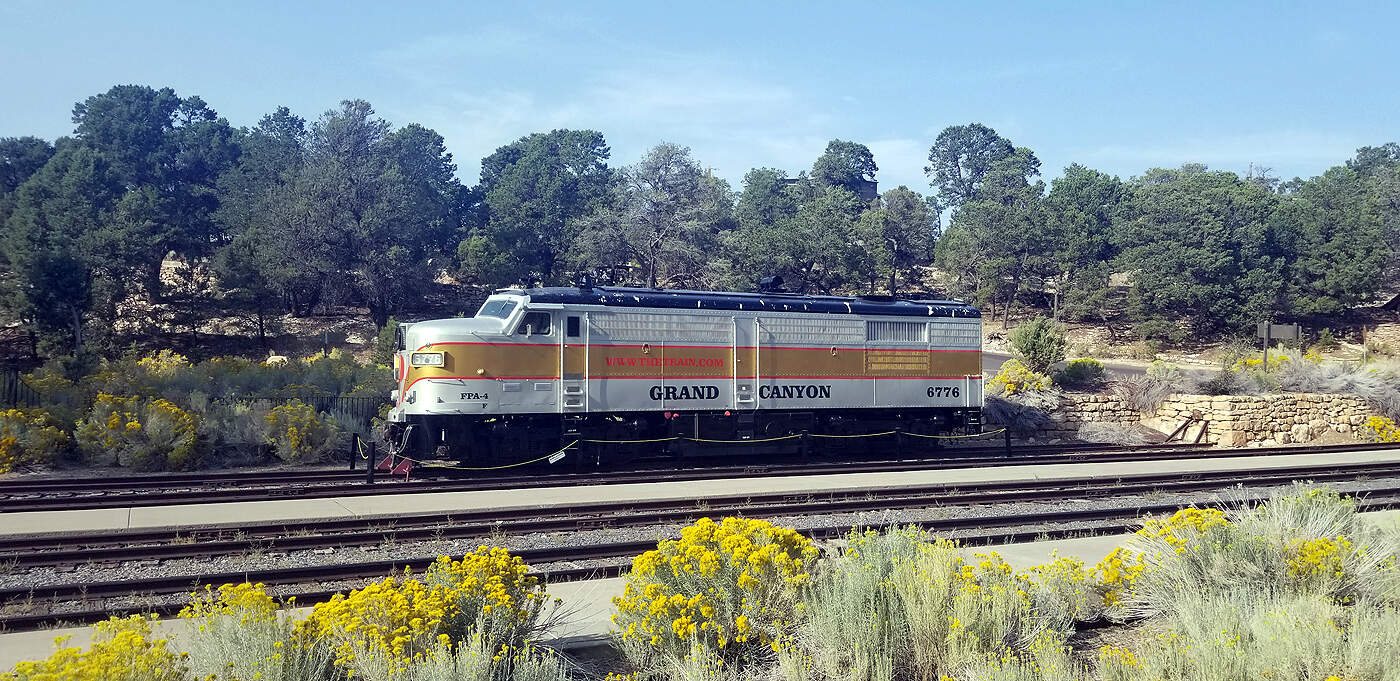
DAY 12: GRAND CANYON - SOUTH RIM
Total hiking miles this day: ~11.9 miles
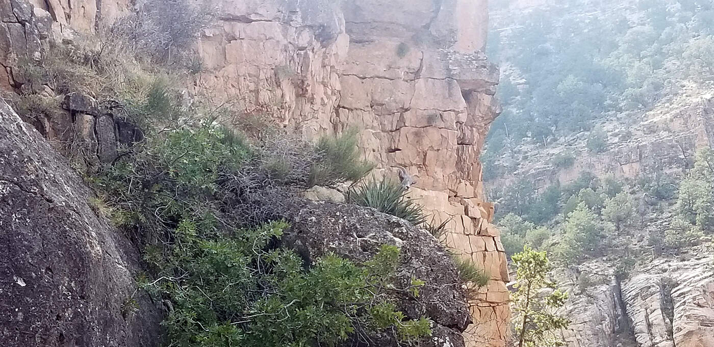
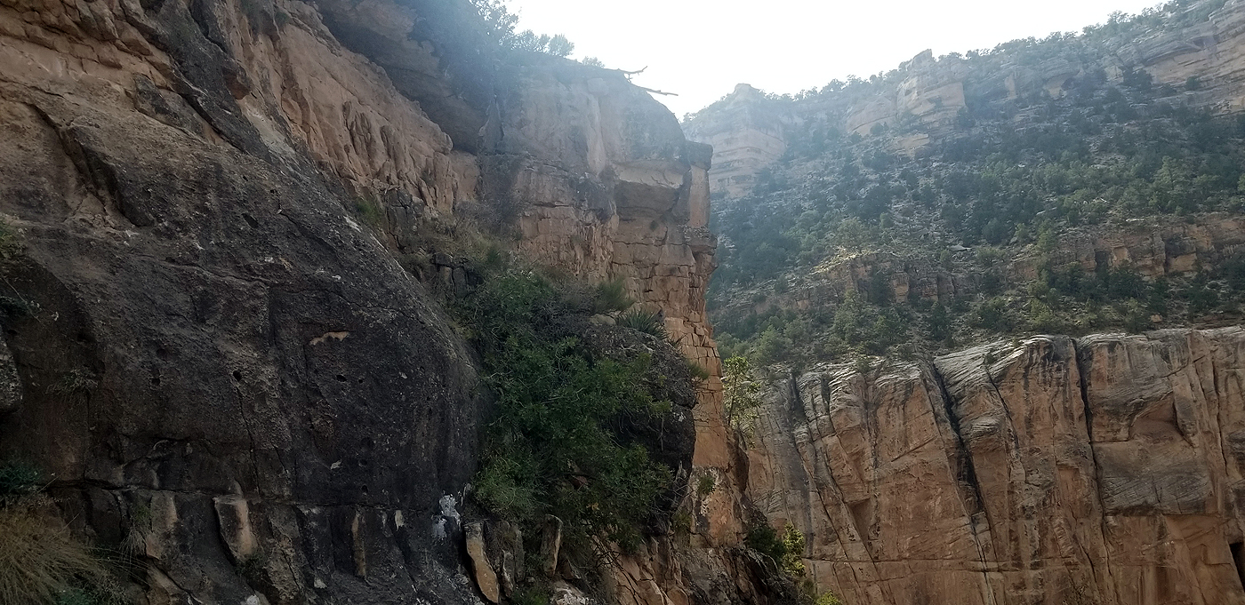
We walked along the south rim promenade from the Visitor Center to the start of the Bright Angel trail where we descended about 3 miles then hiked back out. This was enough to entice us to want to come back and hike to the bottom, spend a couple nights at the bottom and then hike out to either the North or South Rim. Due to the fires in the west, the air was very hazy. As we neared the top of Bright Angel Trail there were grey mountain goats on the side of the cliffs. The goats are in the 2nd and 3rd to the last pictures.
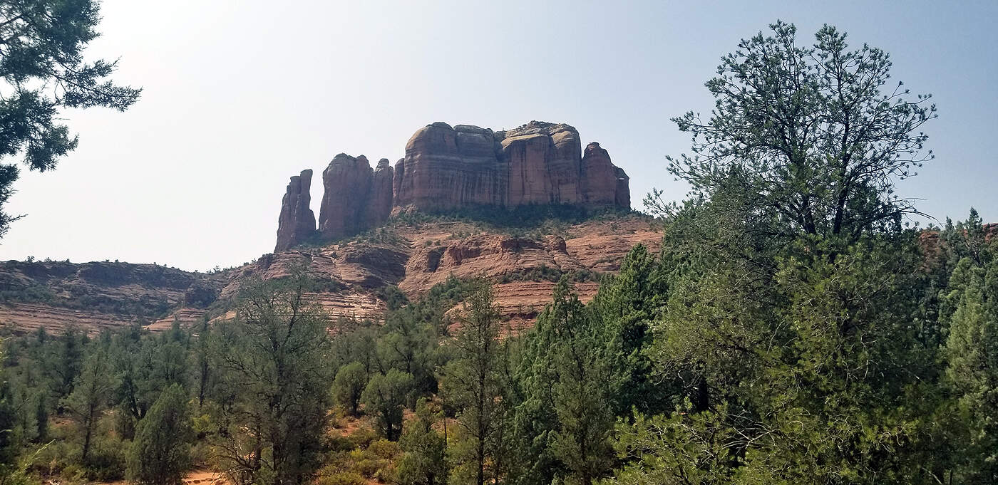
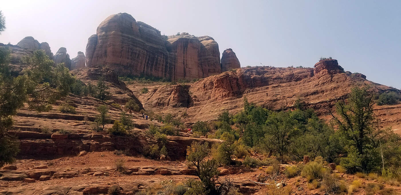
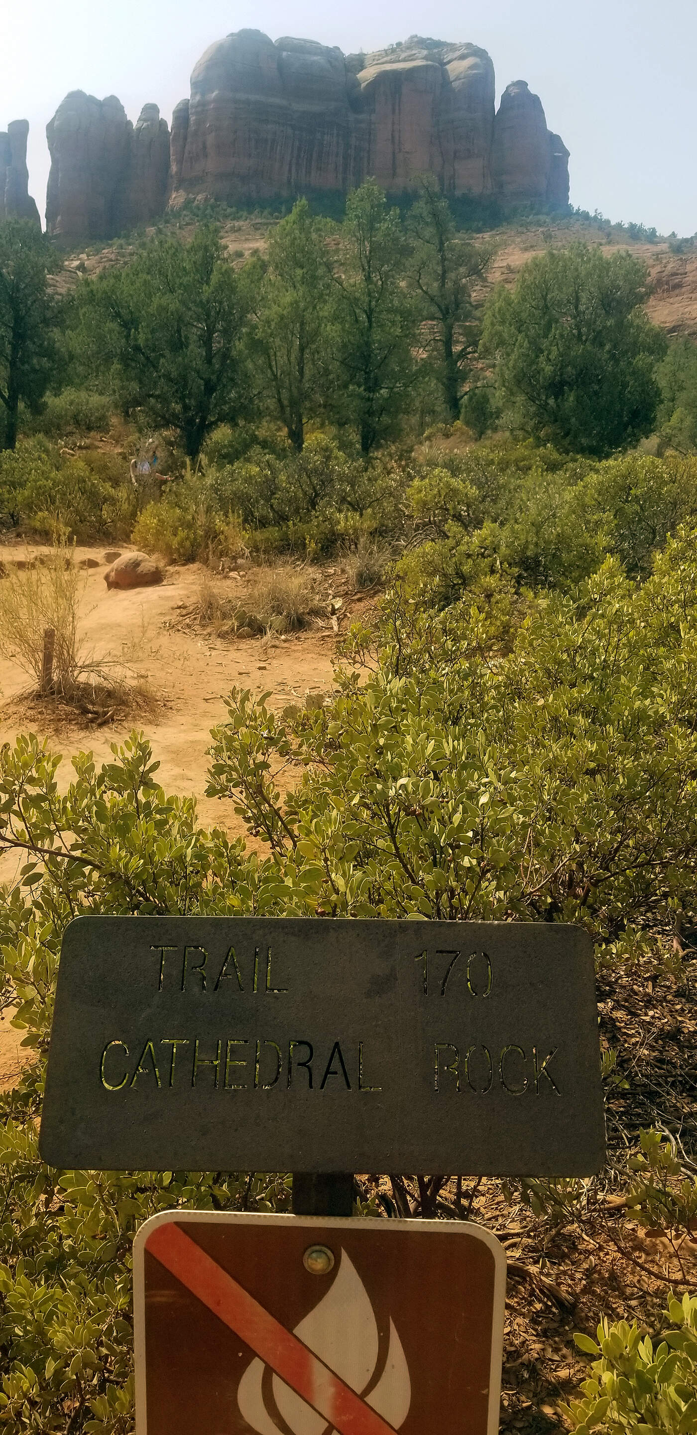
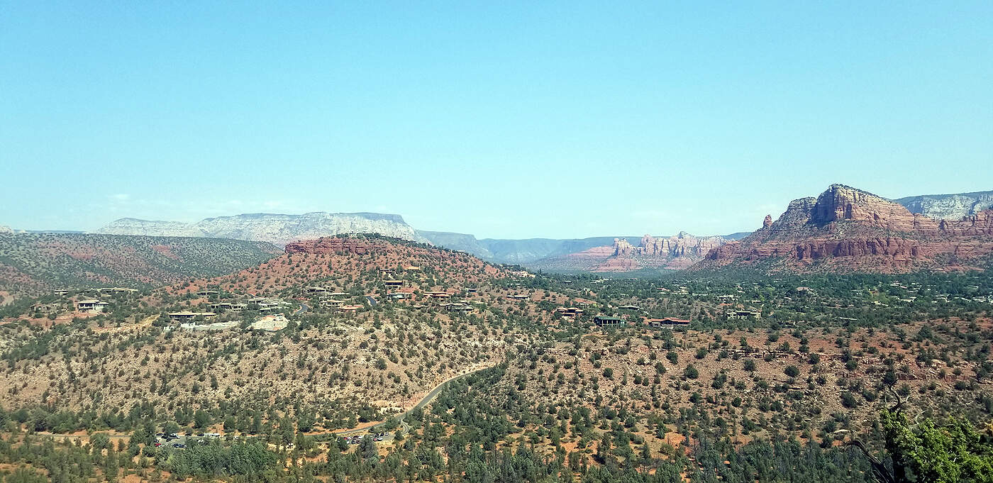
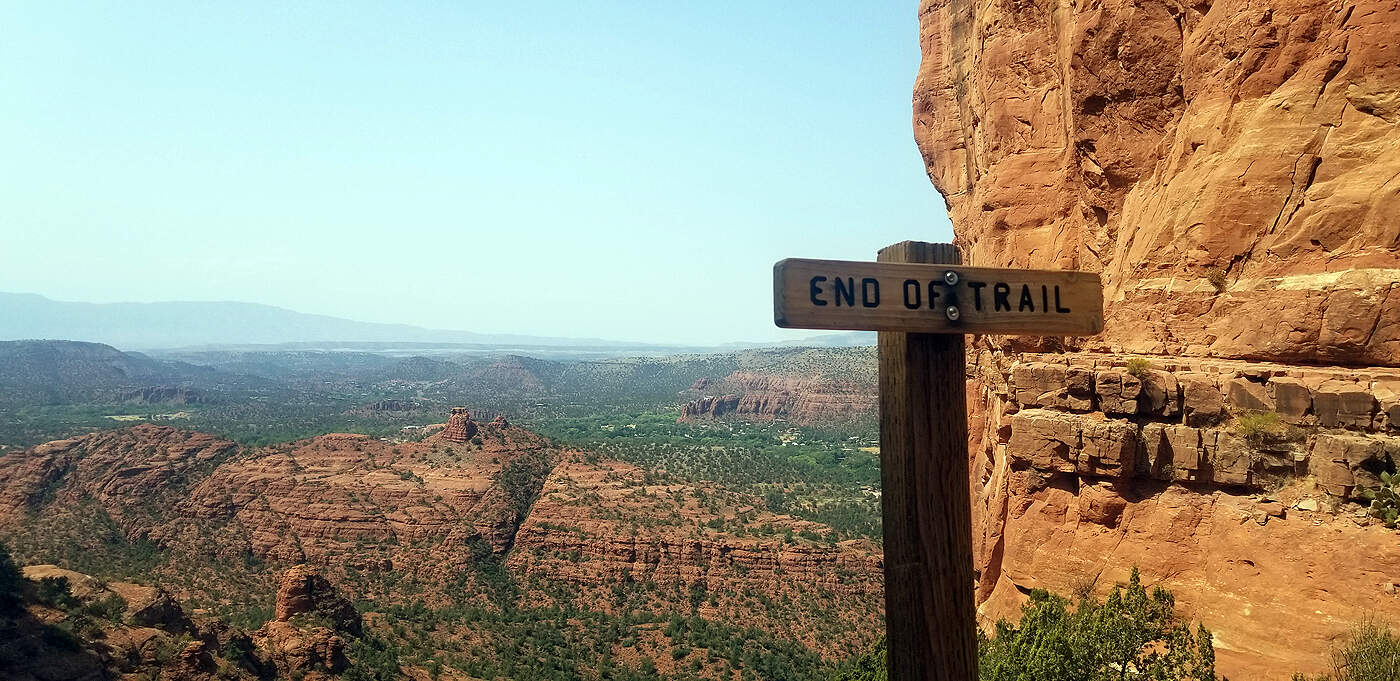
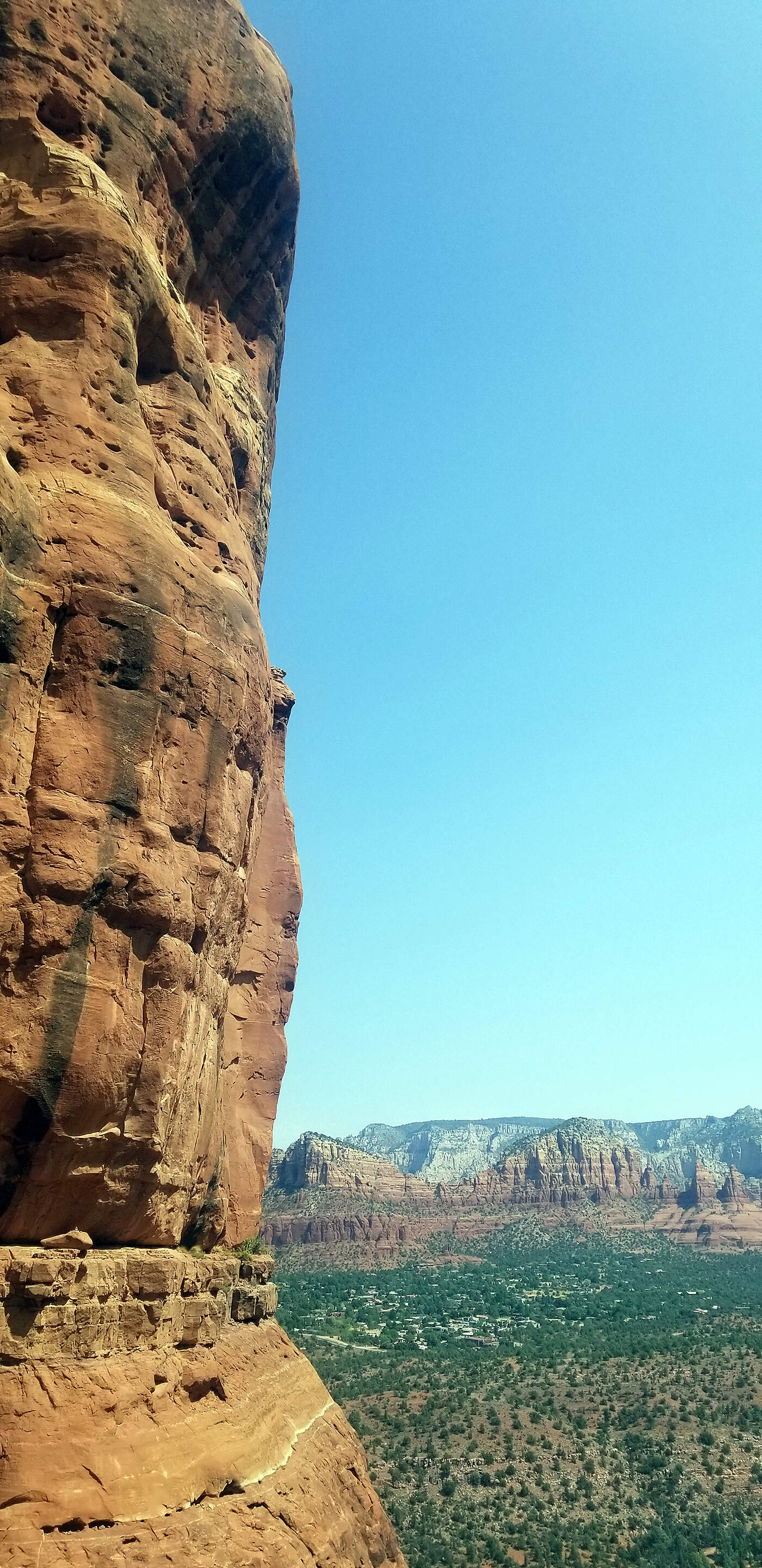
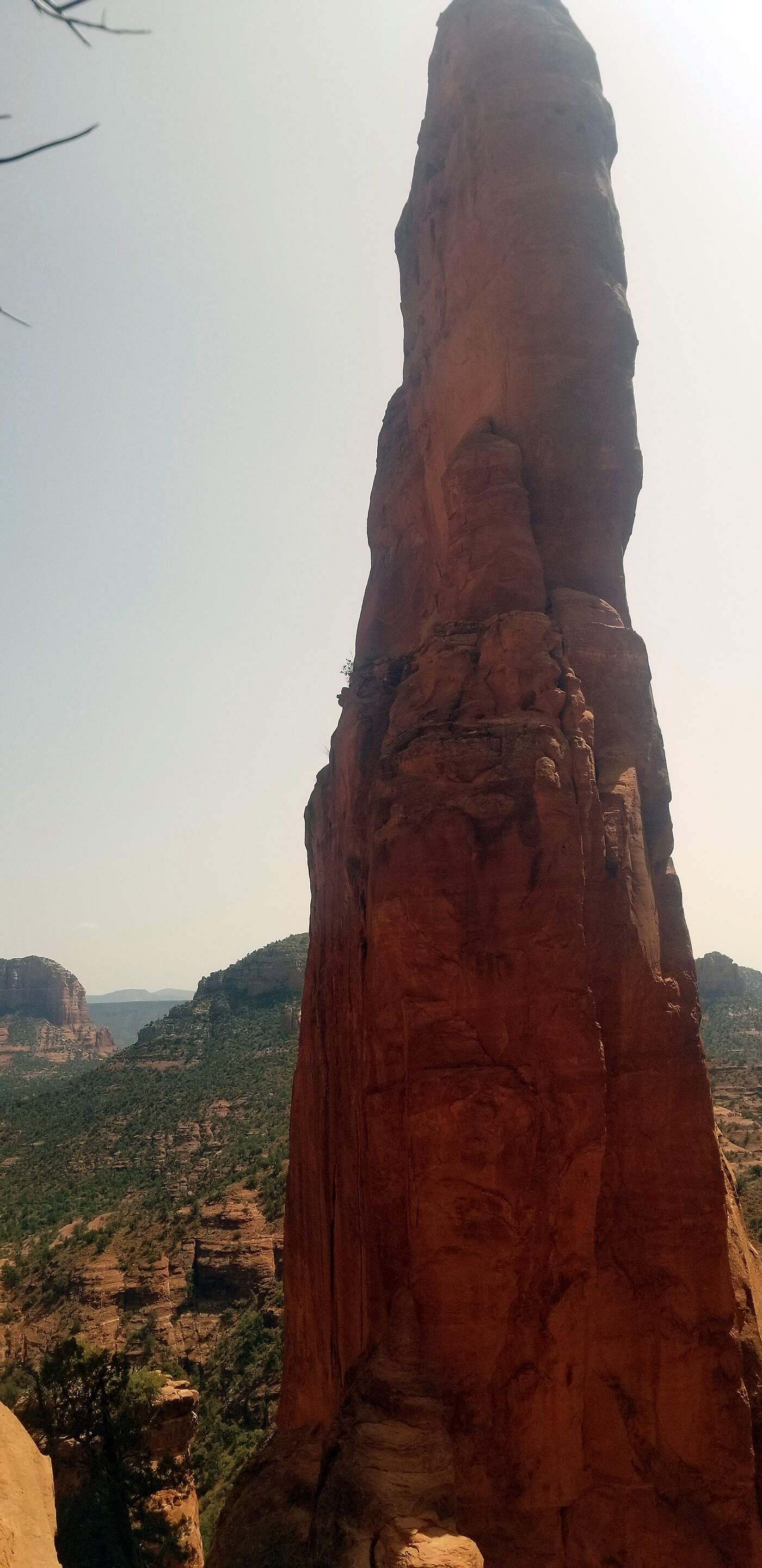
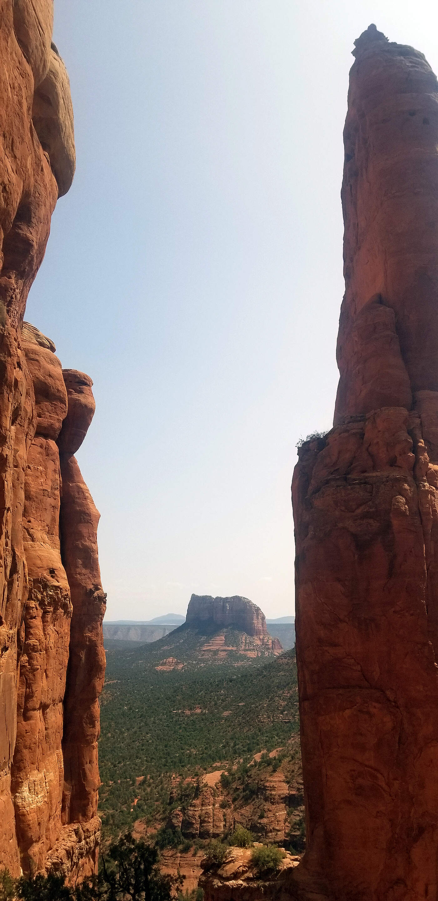
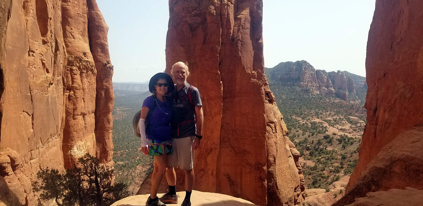
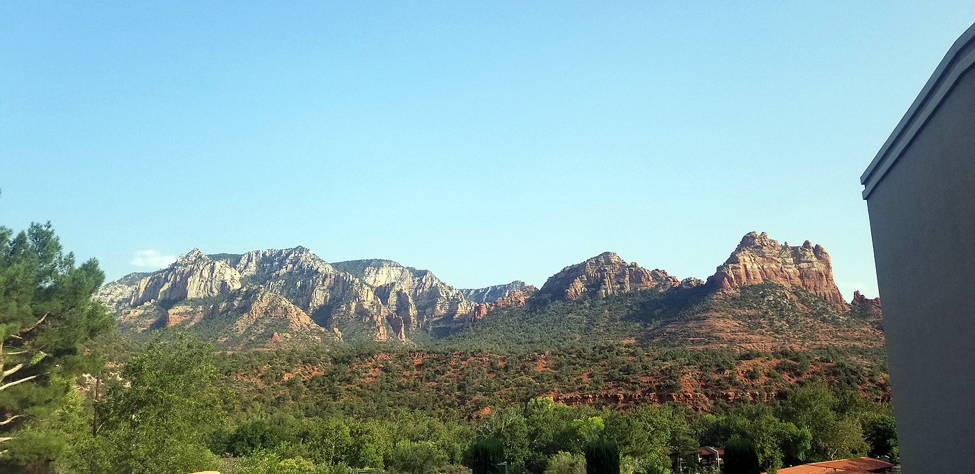
DAY 13: SEDONA'S CATHEDRAL ROCK
Total hiking miles: ~6.6 miles
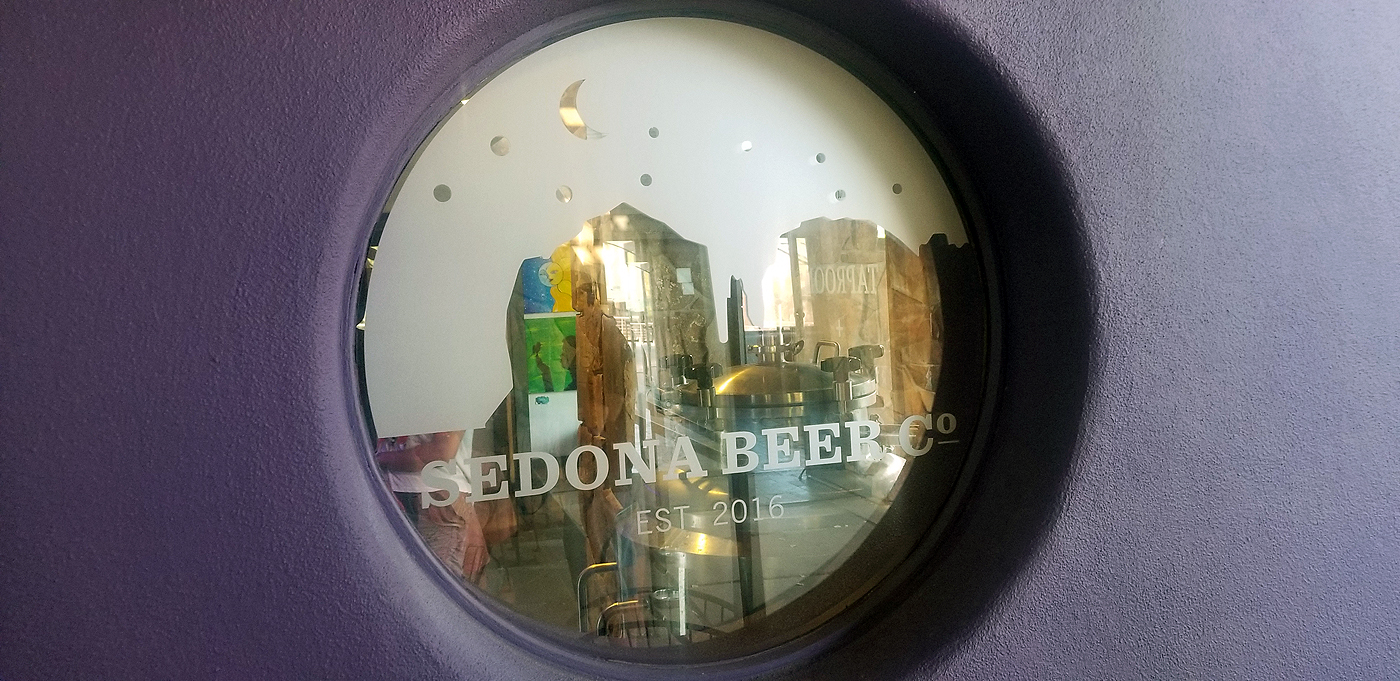
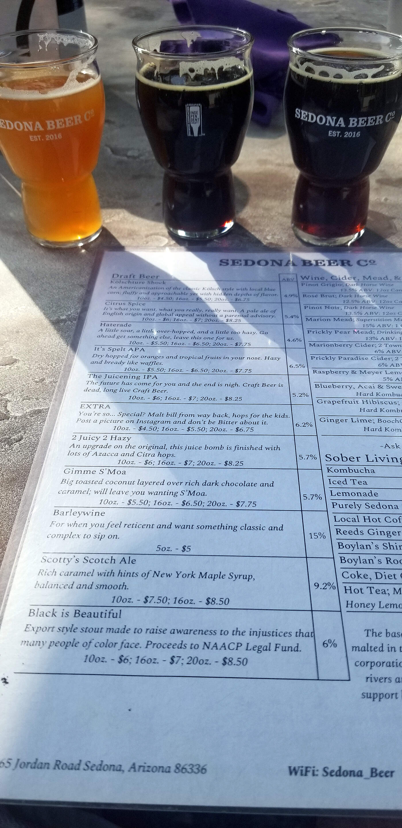
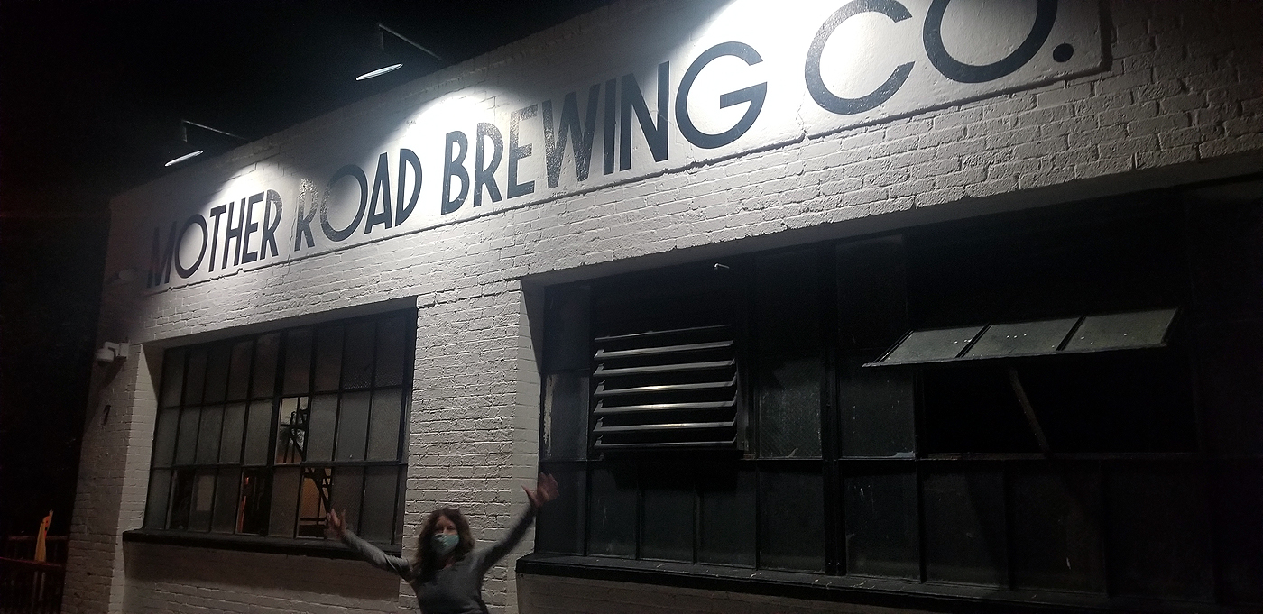
Our base camp for the Grand Canyon and Sedona was Flagstaff, AZ. If we did it over again we would have booked the Grand Canyon way in advance so we could stay near or in the park, then had our last couple nights in Sedona, AZ before driving home. Either way it was an awesome trip. After our hike in Sedona we did the tourist walk through all the shops on the main drag and had lunch at Sedona's Brewing Company. That night in Flagstaff we had our last celebration at Mother Road Brewing Co.
DAY 14: HOMEWARD BOUND TO SAN DIEGO
Total hiking miles: 0 miles